The best waterfall hikes and walks around Neuengönna
4.7
(10072)
40,132
hikers
6
hikes
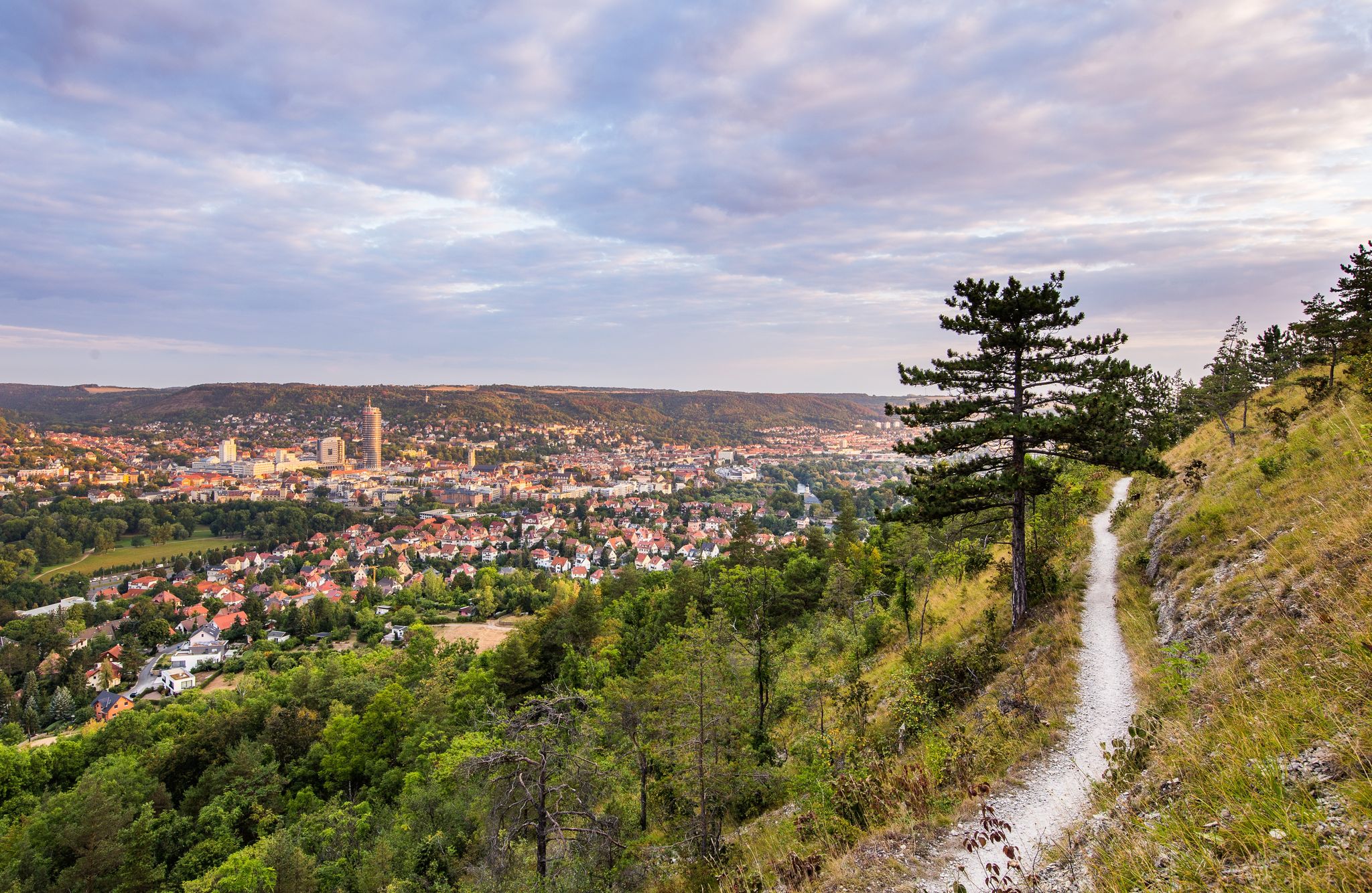
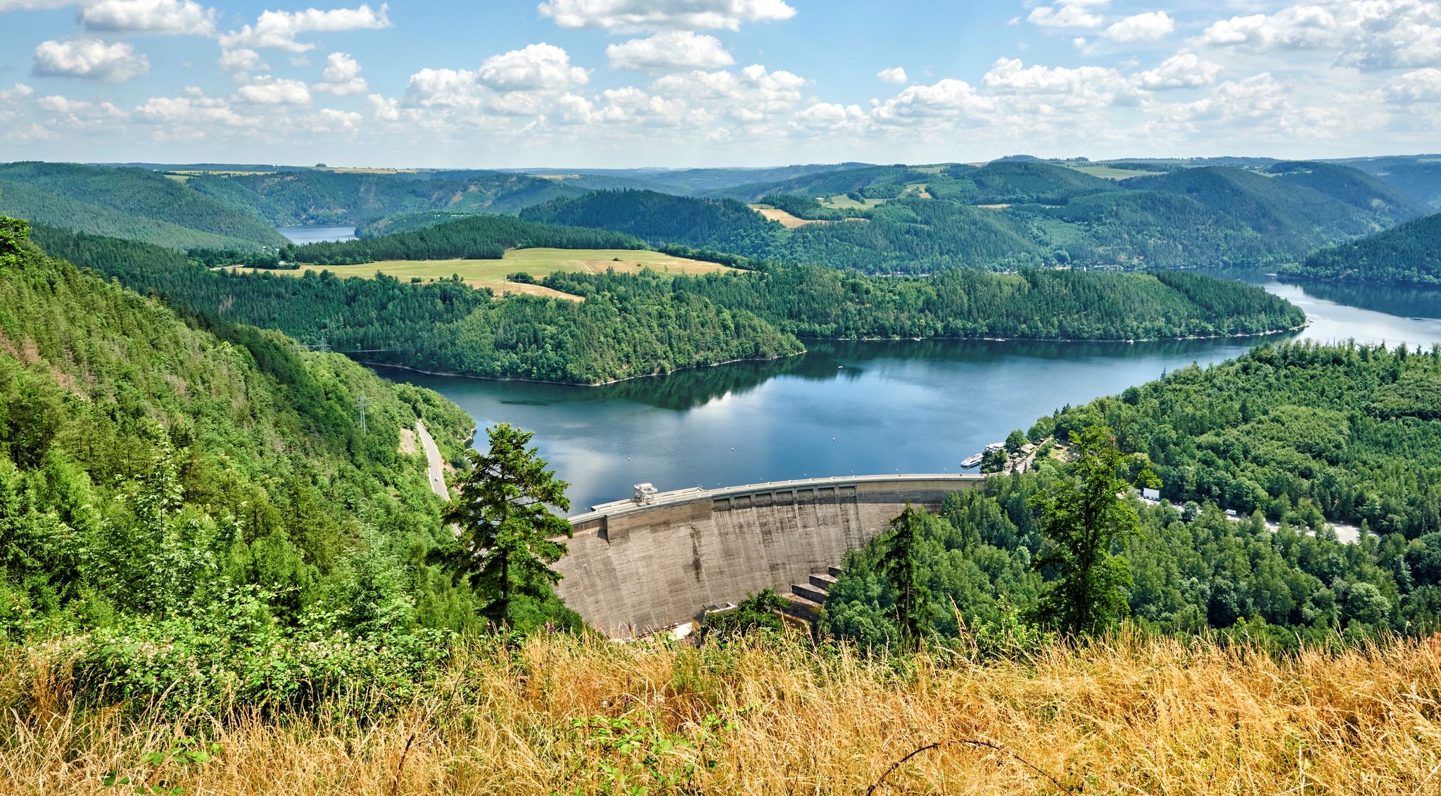
Waterfall hiking trails around Neuengönna are set within the picturesque Thuringian Slate Mountains, characterized by a hilly and rugged terrain. The nearby Saale River and its valley are prominent features, with many trails offering views of the river and the expansive Saaletal. The landscape includes striking Muschelkalk (shell limestone) cliffs and diverse mixed forests, providing varied scenery for outdoor exploration.
Best waterfall hiking trails around Neuengönna
- The most popular waterfall hiking route is Dornburg Renaissance Palace – Altes Schloss Dornburg…
Last updated: July 9, 2026
4.6
(9)
17
hikers
Easy hike. Great for any fitness level. Easily-accessible paths. Suitable for all skill levels.
4.6
(5)
21
hikers
7.90km
02:13
150m
150m
Moderate hike. Good fitness required. Easily-accessible paths. Suitable for all skill levels.

Sign up for free
5.0
(2)
7
hikers
Moderate hike. Good fitness required. Easily-accessible paths. Suitable for all skill levels.
3.7
(3)
6
hikers
Easy hike. Great for any fitness level. Easily-accessible paths. Suitable for all skill levels.
Get access to more routes and recommendations from other explorers.
Sign up for free
Already have an account?
Our route recommendations are based on thousands of hikes, rides, and runs completed by other people on komoot.
Start today with a free account
Your next adventure awaits.
Login or Signup


Tips from the Community

Stop for juice and cake... And of course coffee, ice cream and other delicacies. Open from Saturday 8 am.
0
0

I can only confirm the last comment! Currently, no hiking or forest path is recognizable! We had to push through the undergrowth, slide down one slope, climb over fallen trees, and then climb back up another slope to get back on the right track!
0
0
Currently no hiking or forest path recognizable!
0
0

No. 199 of the Thuringia stamp is located on the Saale Horizontale.
8
0

Caution! The paths along the deeply cut riverbed are partially obscured and blocked by many fallen trees. The narrow paths are covered with loose stones and leaves. In some places, the slope edges have slipped. This section is unsuitable for hiking and dangerous! Please remove this hiking route from the Komoot platform! The routes from Neuengönna and Tautenburg to the Dornburg Castles are safe and beautiful!
1
0

Wild and beautiful orchids grow in this spot/section. (Orchidaceae) Wild orchids.
0
0

Here you can refresh yourself.😁💦
2
0

Wild garlic as far as the eye can see!!!
0
0
Frequently Asked Questions
Are there actual waterfalls on the hiking trails around Neuengönna?
While the region is known for its scenic river valleys and gorges, the most prominent natural water feature directly associated with waterfalls in the immediate vicinity is the Röderbach Waterfall. Many trails offer beautiful views of the Saale River and its tributaries, providing a refreshing waterside hiking experience.
What kind of landscape can I expect on waterfall hikes near Neuengönna?
The waterfall hiking trails around Neuengönna are set within the picturesque Thuringian Slate Mountains, characterized by a hilly and rugged terrain. You'll encounter the scenic Saale River valley, striking Muschelkalk (shell limestone) cliffs, and diverse mixed forests, offering varied scenery for outdoor exploration.
How many waterfall hiking trails are available in the Neuengönna area?
There are several dedicated waterfall hiking trails around Neuengönna, with komoot featuring over 5 routes specifically for this activity. These range from easy strolls to more moderate hikes, catering to different fitness levels.
Are there any easy waterfall hikes suitable for beginners or families?
Yes, there are easy options available. For instance, the Saale-Horizontale Trail – View of Dornburg Castles loop from Verwaltungsgemeinschaft Dornburg-Camburg is an easy 3.5-mile (5.6 km) path that provides scenic views of the Saaletal and its distinctive Muschelkalk cliffs. Another easy option is the View of Dornburg Castles – Erdengraben Gorge loop from Verwaltungsgemeinschaft Dornburg-Camburg, which is about 2.3 miles (3.7 km) long.
What are some notable landmarks or attractions near the waterfall hiking trails?
Many trails offer views of the historic Dornburg Castles, such as the Dornburg Renaissance Palace – Altes Schloss Dornburg loop from Verwaltungsgemeinschaft Dornburg-Camburg. You can also explore natural features like the Teufelslöcher Caves (Jena) or the Klausloch Cave on the Saale, which are nearby attractions.
What do other hikers say about the trails around Neuengönna?
The hiking routes in Neuengönna are highly rated by the komoot community, with an average score of 4.6 stars from over 2600 reviews. Hikers often praise the picturesque landscapes, the varied terrain, and the well-maintained paths that offer stunning views of the Saale Valley and the historic castles.
Are there any circular waterfall walks in the area?
Yes, many of the trails around Neuengönna are designed as loops, allowing you to start and end at the same point. Examples include the Bird Observation Station – View of Dornburg Castles loop from Neuengönna and the View of Dornburg Castles – Erdengraben Gorge loop from Verwaltungsgemeinschaft Dornburg-Camburg.
Is public transport available to reach the hiking trailheads?
While specific public transport connections to every trailhead can vary, the broader Jena area, which abuts Neuengönna, is generally well-connected. It's advisable to check local bus or train schedules for routes connecting to villages near your chosen trailhead, such as Dornburg-Camburg or Neuengönna itself.
Where can I find parking for waterfall hikes near Neuengönna?
Parking is typically available in the villages and towns close to the trailheads, such as Neuengönna or Dornburg-Camburg. Look for designated parking areas near popular starting points or local attractions like the Dornburg Castles. Always check local signage for any restrictions or fees.
What is the best time of year to experience the waterfall hikes?
The Thuringian Slate Mountains and Saale Valley offer beautiful scenery year-round. Spring brings lush greenery and blooming wildflowers, while autumn showcases vibrant fall foliage. Waterfalls are often most impressive after periods of rain or during spring snowmelt. Summer provides pleasant temperatures for hiking, though some smaller water features might be less active.
Are the trails suitable for dogs?
Many hiking trails in the Neuengönna region are dog-friendly, allowing you to enjoy the natural beauty with your canine companion. However, it's always recommended to keep dogs on a leash, especially in nature reserves or areas with wildlife, and to carry water for them. Please check specific trail regulations if available.
Are there any challenging waterfall hikes for experienced hikers?
While the guide focuses on easy to moderate trails, the broader Thuringian Slate Mountains offer options for varying fitness levels. The routes listed, such as the Dornburg Renaissance Palace – Altes Schloss Dornburg loop from Verwaltungsgemeinschaft Dornburg-Camburg, are rated as moderate, involving some elevation gain and longer distances, providing a good challenge for those looking for more than a casual stroll.
Most popular routes around Neuengönna
Most popular attractions around Neuengönna

Get inspired with the komoot mobile app


