The best walks and hikes around Våja
4.5
(7)
31
hikers
5
hikes
Hiking around Våja offers access to the diverse landscapes of Jotunheimen National Park in Norway. The region features towering mountains, deep valleys, and pristine lakes, providing varied terrain for hikers. It is characterized by impressive mountainous terrain and beautiful valleys, with paths winding along rivers and through gorges. The area includes significant natural features such as Lake Gjende and Bessvatnet, known for their distinct colors.
Best hiking trails around Våja
- The most popular hiking route is Vassbråa Lake – Kjørestua…
Last updated: June 26, 2026
4.7
(3)
9
hikers
8.84km
02:17
50m
50m
Moderate hike. Good fitness required. Easily-accessible paths. Suitable for all skill levels.
11.1km
02:59
130m
130m
Moderate hike. Good fitness required. Easily-accessible paths. Suitable for all skill levels.

Sign up for free
5
hikers
4.73km
01:30
180m
180m
Easy hike. Great for any fitness level. Easily-accessible paths. Suitable for all skill levels.
5.0
(1)
3
hikers
5.54km
01:33
110m
110m
Easy hike. Great for any fitness level. Easily-accessible paths. Suitable for all skill levels.
5.0
(1)
5
hikers
4.23km
01:29
240m
240m
Easy hike. Great for any fitness level. Easily-accessible paths. Suitable for all skill levels.
Our route recommendations are based on thousands of hikes, rides, and runs completed by other people on komoot.
Start today with a free account
Your next adventure awaits.
Login or Signup
Popular around Våja
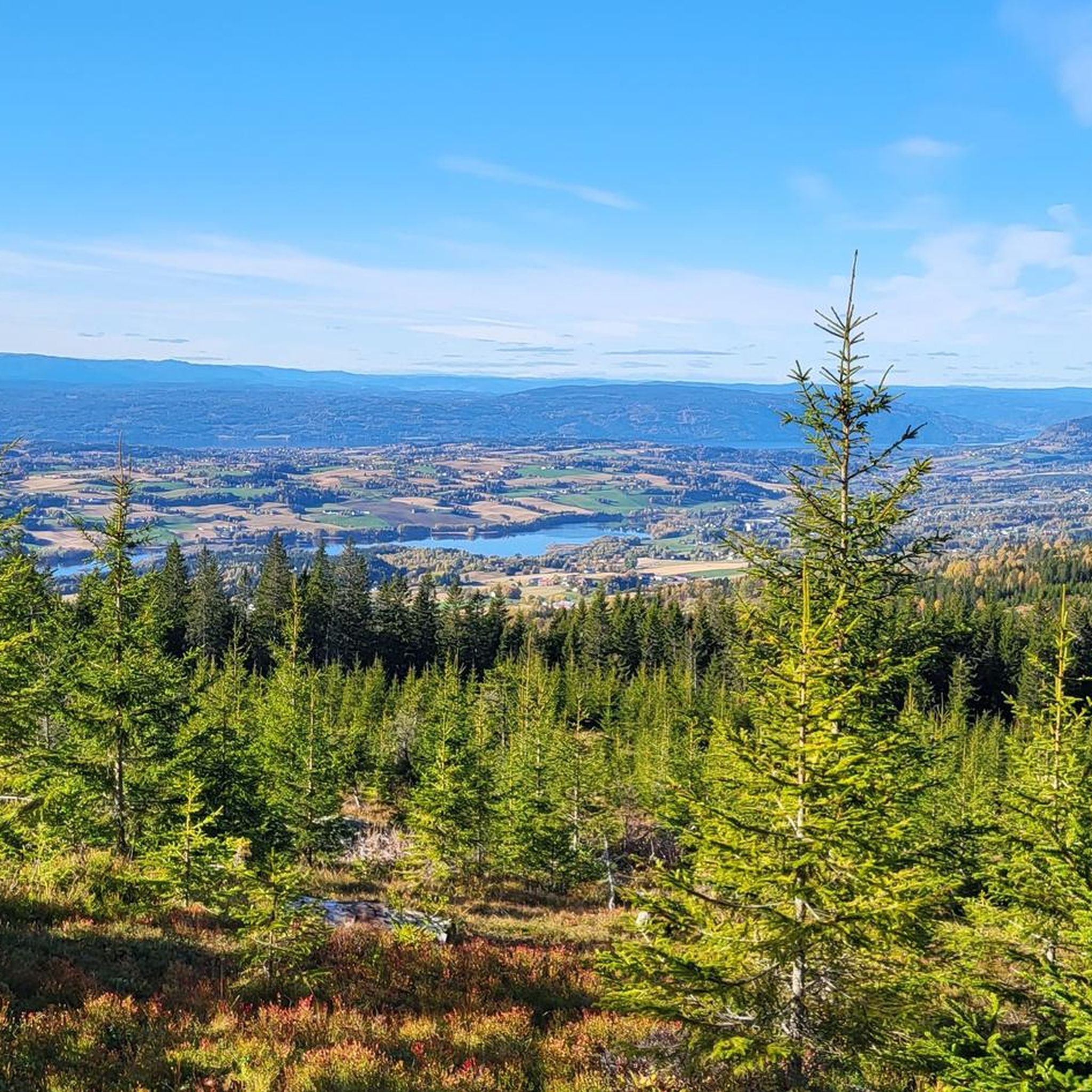
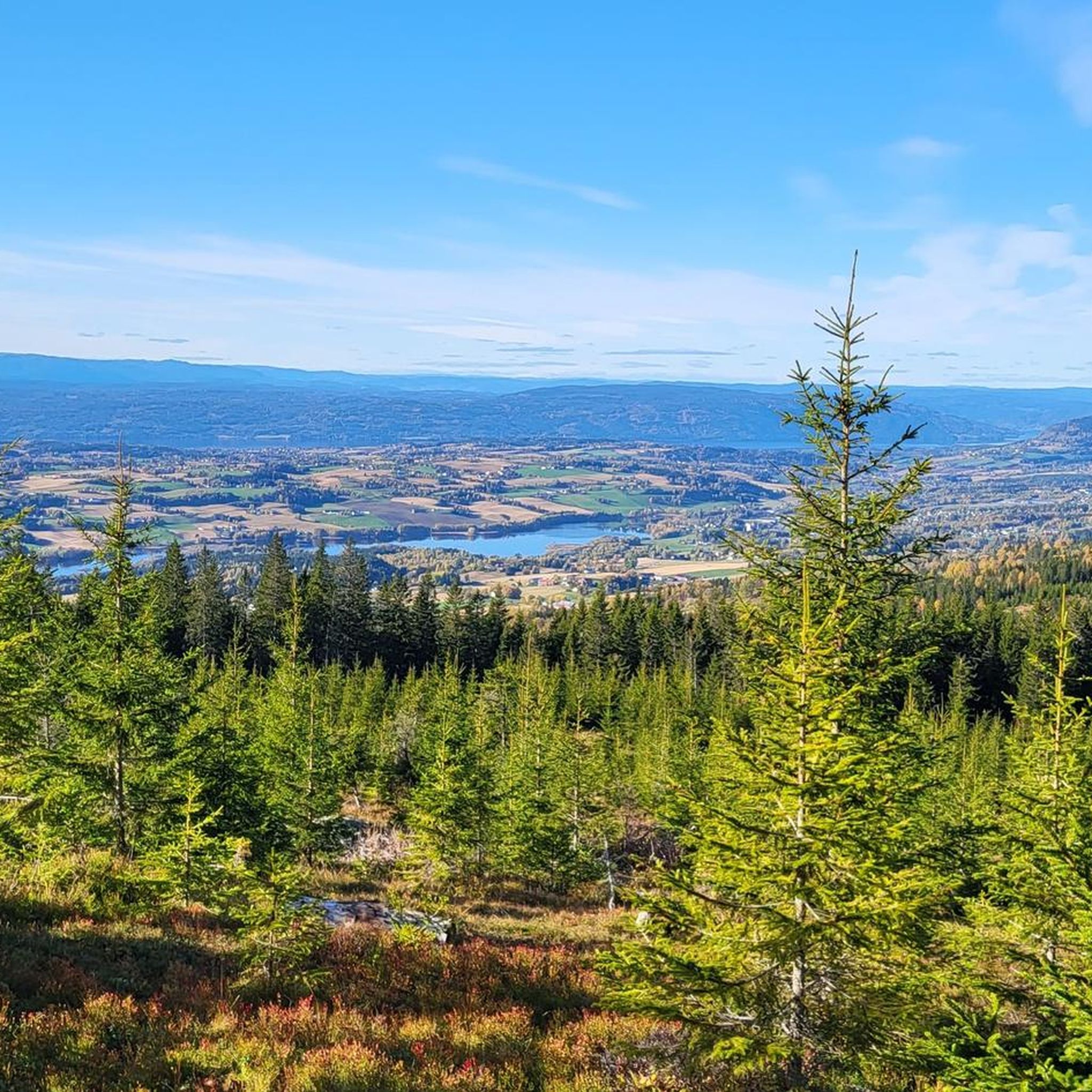
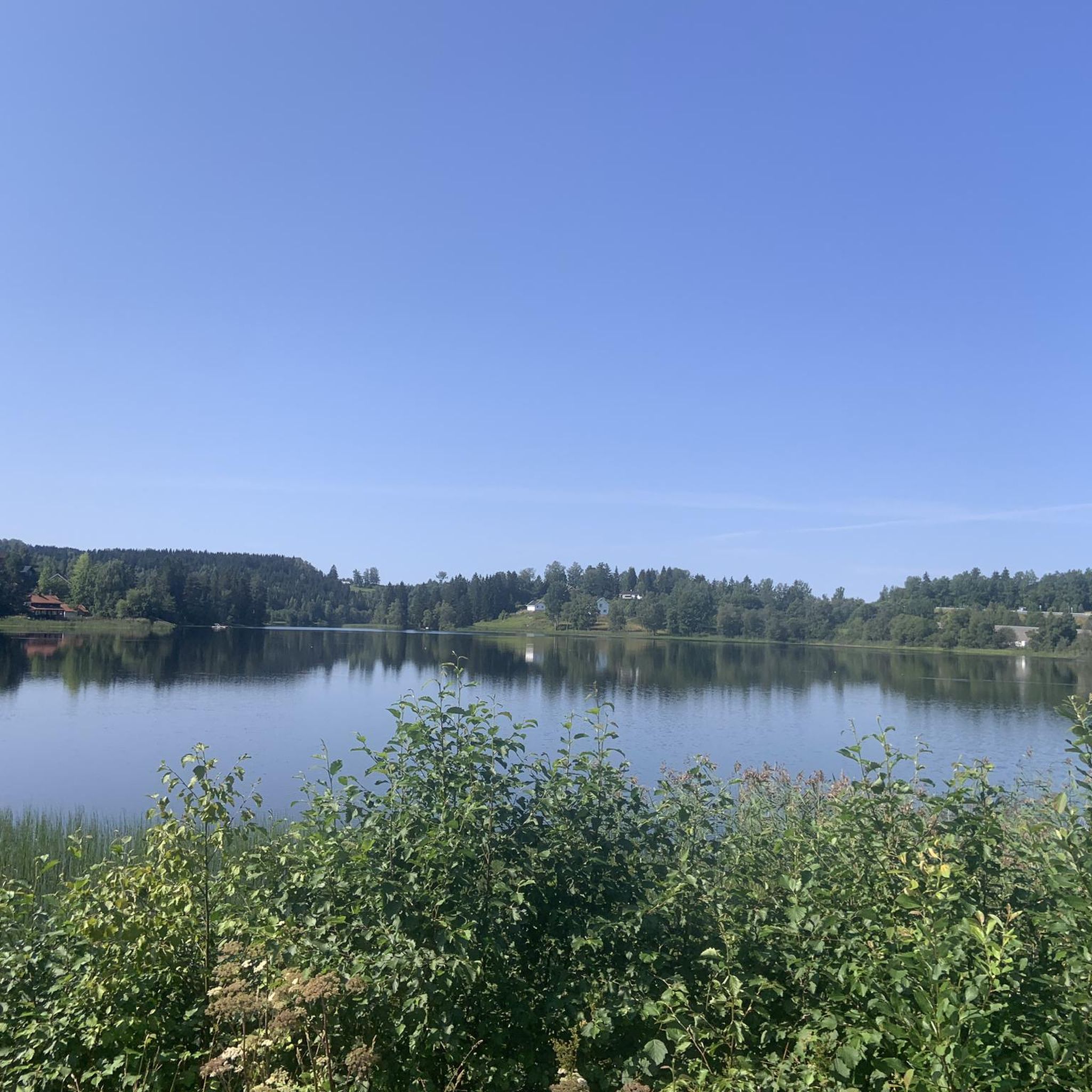
Tips from the Community


Unkempt, beautifully situated DNT hut. Especially here is that it is accessible by car. Facilities include electricity (from solar panels), a campground and a canoe.
0
0
Frequently Asked Questions
What kind of terrain can I expect when hiking around Våja?
Våja offers a diverse range of terrain, from towering mountains and deep valleys to pristine lakes and impressive ridges. You'll find paths winding along rivers, through gorges, and past historic mountain farms. The region is a gateway to Jotunheimen National Park, so expect varied landscapes suitable for different skill levels, from accessible paths to demanding routes requiring sure-footedness and alpine experience.
Are there any easy or family-friendly hiking options in Våja?
Yes, Våja has several easy and family-friendly options. For example, the Rånåsen – View of Hvalebykampen loop from Sandgrava is an easy 2.9-mile trail. The Small Stream loop from Roa is another easy option. The region also features trails like Hulderstigen in Sjodal, which is specifically designed as a nature, culture, and educational trail suitable for families.
Can I find circular hiking routes in the Våja area?
Absolutely. Many trails around Våja are designed as loops, allowing you to start and end at the same point. Examples include the Vassbråa Lake – Kjørestua DNT Cabin loop from Haraldstangen and the Kjørestua DNT Cabin loop from Haraldstangen, both offering scenic circular experiences.
What are some notable natural features or landmarks to look out for on hikes near Våja?
Våja is rich in natural beauty. You'll encounter stunning lakes like Gjende and Bessvatnet, known for their distinct emerald green and dark blue colors. The dramatic Besseggen Ridge and Knutshøe offer panoramic mountain and lake vistas. The region is part of Jotunheimen National Park, characterized by majestic peaks and valleys. While not explicitly within Våja, the broader Norwegian landscape accessible from here features glaciers and numerous waterfalls.
Is it possible to hike with dogs in Våja?
Yes, hiking with dogs is generally possible in the Våja area. However, it's crucial to be aware of local regulations, especially concerning leash rules, particularly within Jotunheimen National Park and during certain seasons to protect wildlife and livestock. Always keep your dog under control and clean up after them.
What is the best time of year to go hiking in Våja?
The best time for hiking in Våja is typically during the summer months, from late June to early September, when the weather is most stable, and trails are clear of snow. Autumn can also be beautiful with vibrant fall colors, but be prepared for cooler temperatures and potentially more challenging conditions. Some higher-altitude trails may still have snow into early summer.
Are there any challenging or advanced hiking trails in Våja?
Yes, Våja provides access to some of Norway's most iconic and challenging hikes, particularly within Jotunheimen National Park. Trails like the Besseggen Ridge and Knutshøe are considered adventurous and require good fitness and sure-footedness, with some sections involving scrambling. The Bukkelægret Trail is another difficult ridge trail offering spectacular views and ascents.
How do other hikers rate the trails in Våja?
The hiking routes in Våja are highly regarded by the komoot community, with an average score of 4.7 stars from over 5 reviews. Hikers often praise the varied terrain, the stunning lake views, and the access to the dramatic landscapes of Jotunheimen National Park.
What are the options for parking at trailheads in Våja?
Parking is generally available at popular trailheads in the Våja area, especially for well-known routes like Besseggen and Knutshøe. Specific parking information for individual trailheads, such as Haraldstangen or Sandgrava, can often be found on local tourism websites or detailed route descriptions. Some parking areas may require a fee.
Are there public transport options to reach hiking trailheads from Våja?
Public transport options are available to reach some of the major trailheads, particularly those leading into Jotunheimen National Park. Buses often connect Vågåmo, the main village in Våja municipality, to popular starting points like those for Besseggen. It's advisable to check local bus schedules and routes in advance, especially during peak hiking season, as services can be seasonal.
Where can I find accommodation or places to eat near the hiking areas in Våja?
Våja and its surrounding areas offer various accommodation options, including hotels, guesthouses, and campsites, particularly in Vågåmo. Within Jotunheimen National Park, DNT (Norwegian Trekking Association) huts like Gjendebu and Glitterheim serve as excellent base camps for multi-day hikes, providing accommodation and catering. You'll also find cafes and pubs in Vågåmo and other local villages.
Do I need permits for hiking in the Våja area or Jotunheimen National Park?
Generally, you do not need a specific hiking permit for day hikes in the Våja area or within Jotunheimen National Park. However, if you plan to camp outside designated areas or stay in DNT huts, specific rules and fees may apply. Always respect local regulations and protected areas.

Get inspired with the komoot mobile app


Explore more
Browse the best Hikes in other regions.
