The best walks and hikes around Kuohijärvi
4.8
(11)
80
hikers
6
hikes
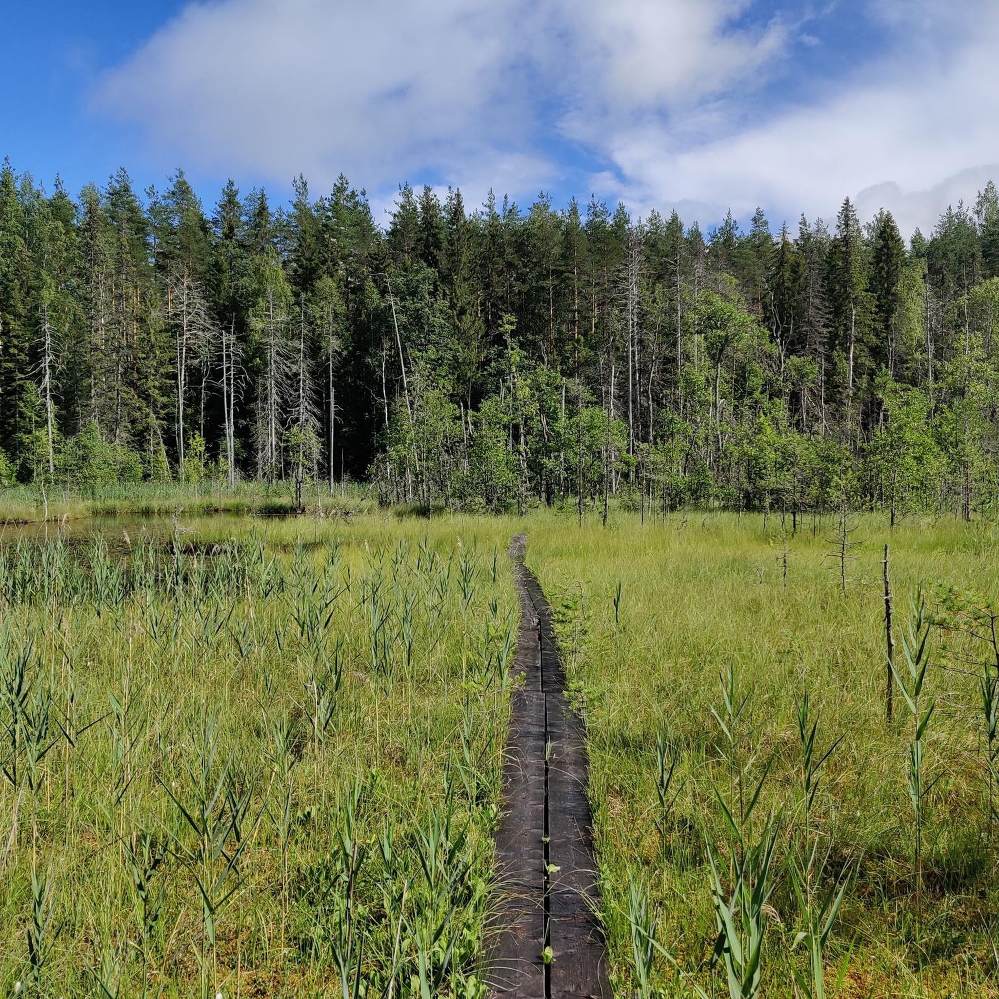
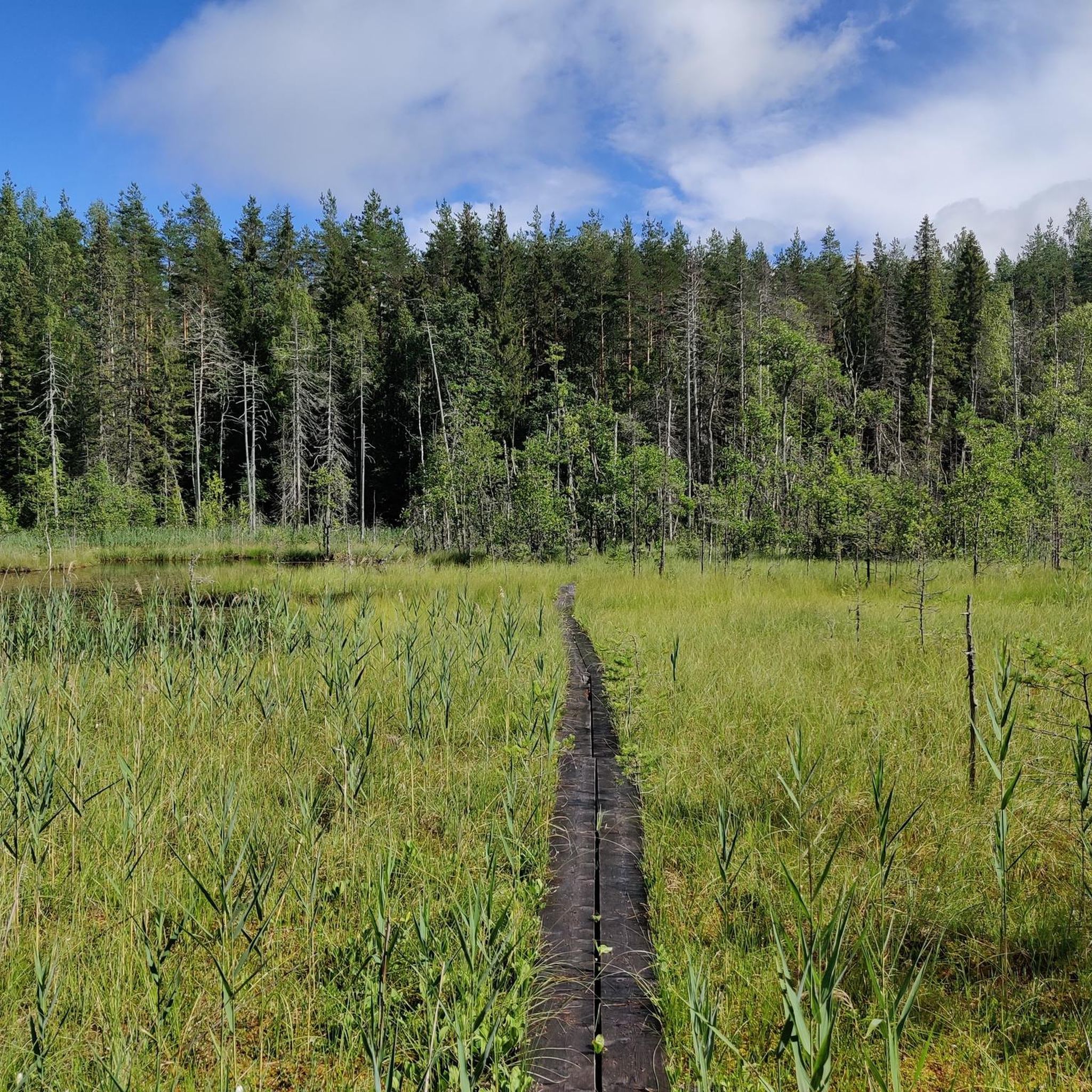
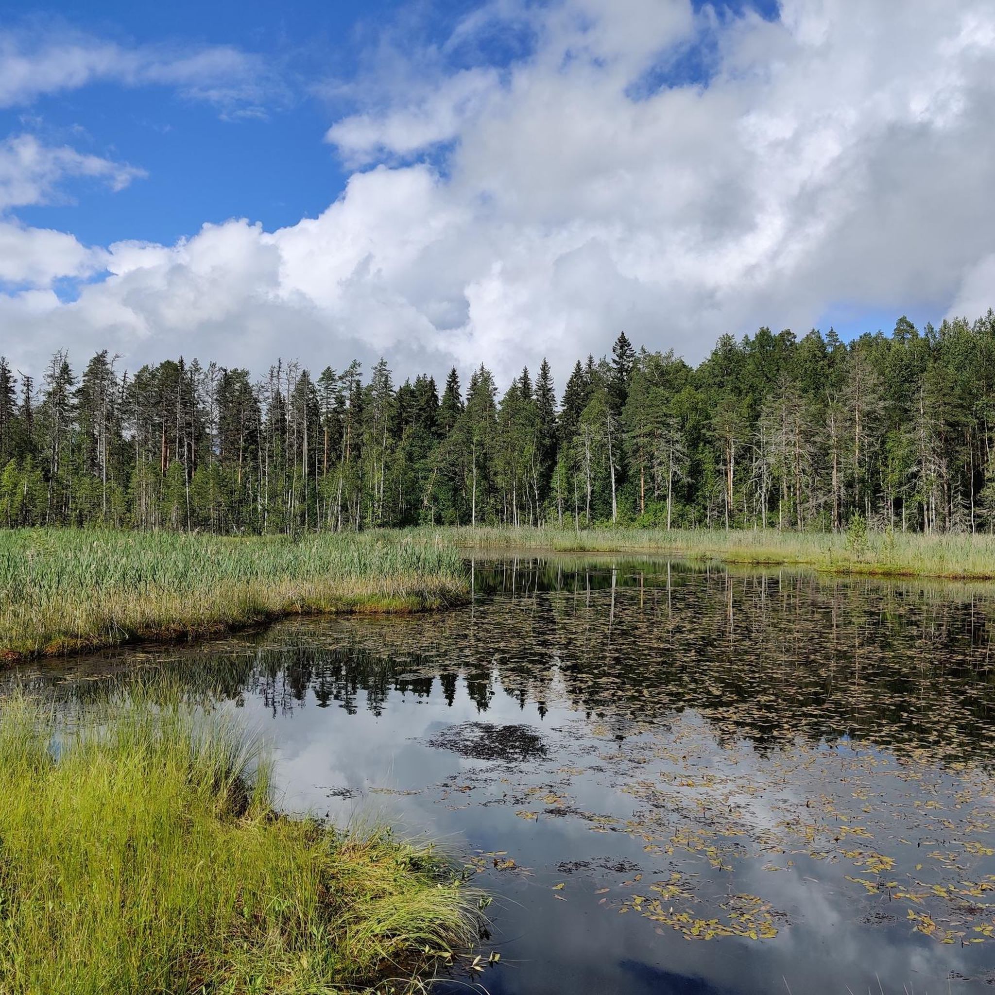
Hiking around Kuohijärvi, located in Lammi within Hämeenlinna, Finland, offers diverse natural features. The region is characterized by clear lake waters, 27 islands, and varied topography including underwater eskers and ancient forests. The terrain features narrow forest trails, rock formations, and bog sections with duckboards, alongside cliff ridges providing panoramic views. These geological formations create a wide array of hiking experiences.
Best hiking trails around Kuohijärvi
- The most popular hiking route is Alinen Niemisjärvi loop from Ylinen Niemisjärvi, a…
Last updated: October 27, 2026
10
hikers
4.29km
01:06
10m
10m
Easy hike. Easily walkable paths.
4.0
(1)
8
hikers
2.39km
00:37
10m
10m
Easy hike. Easily walkable paths.

7
hikers
5.61km
01:26
20m
20m
Easy hike. Easily walkable paths.
5
hikers
Hard hike. Very good fitness required. Easily walkable paths.
5.0
(1)
10
hikers
10.4km
02:40
40m
40m
Moderate hike. Good fitness required. Easily walkable paths.
Our route recommendations are based on thousands of hikes, rides, and runs completed by other people on komoot.
Start today with a free account
Your next adventure awaits.

Tips from the Community

Platform with outlook and stairs to the lake shore.
0
0
Frequently Asked Questions
What kind of terrain can I expect on the hiking trails around Kuohijärvi?
The trails around Kuohijärvi offer a diverse natural environment. You'll find narrow forest paths, some with natural challenges like roots and exposed rock, and intriguing bog sections equipped with duckboards for easier passage. The area also features esker forests and prominent cliff ridges, providing varied landscapes for your hike.
Are there any viewpoints or notable natural features to see while hiking?
Yes, the region is rich in natural features. On Hietasalo island, you can find 30-meter-high cliff ridges offering beautiful panoramic views of the lake, especially at sunset. The island also features an ancient boulder, known as “Hietasalo's old man,” a remnant from the Ice Age. Additionally, the Pukaluodot island group is part of an underwater esker, and Kaituri island boasts lush esker forests and sandy beaches.
Are there any easy hiking routes suitable for beginners or families?
Yes, Kuohijärvi offers several easy routes. For example, the Alinen Niemisjärvi loop from Ylinen Niemisjärvi is an easy 4.3 km trail with minimal elevation gain. Another gentle option is the Alinen Niemisjärvi loop from Iso-Evo, a shorter 2.4 km path ideal for a relaxed walk.
Can I bring my dog on the hiking trails in Kuohijärvi?
While specific dog-friendly regulations for all trails are not detailed, generally, dogs are welcome on leash in Finnish nature areas, provided they do not disturb wildlife or other hikers. Always ensure your dog is under control and clean up after them to preserve the natural environment for everyone.
Are there any circular hiking routes available?
Yes, several circular routes are popular in the area. You can explore the Alinen Niemisjärvi loop from Ylinen Niemisjärvi, the Alinen Niemisjärvi loop from Iso-Evo, or the Vähä-Koukkujärvi loop from Iso-Evo. These loops offer convenient ways to experience the diverse landscapes of Kuohijärvi.
What is the best time of year to go hiking in Kuohijärvi?
The best time for hiking is typically from spring to autumn when the weather is mild and the trails are clear. During winter, when the ice is sufficiently thick, Hietasalo island can be accessed across the ice, offering a unique experience, but requires careful preparation for cold conditions.
Where can I park my car when visiting the hiking areas?
Parking areas are available at the main boat launching spots around Lake Kuohijärvi. You can find designated parking at Hietasalon portti and Avusranta on the western shore, and at Vähä-Evo beach on the eastern shore. These spots also typically have information boards.
Are there any facilities like campsites or campfire circles available?
Yes, particularly on Hietasalo island, which is a central hub for outdoor enthusiasts. It provides four campsites, each equipped with campfire circles. The main campsite on the island's west shore also includes a public beach, a pier, and a dry toilet, making it convenient for longer stays or breaks.
What do other hikers enjoy most about hiking in Kuohijärvi?
The hiking routes around Kuohijärvi are highly rated by the komoot community, with an average score of 4.8 stars from over 8 reviews. Hikers often praise the clear lake waters, the varied terrain including esker forests and cliff ridges, and the genuine wilderness feel of the narrow forest trails.
How accessible is Hietasalo island, and what are the options for reaching it?
Hietasalo island is accessible by water during the warmer months. You can reach it by canoe, kayak, SUP board, or boat. Boat launching spots with parking are available on both the western (Hietasalon portti, Avusranta) and eastern (Vähä-Evo beach) shores of Lake Kuohijärvi. In winter, if the ice is thick enough, the island can be reached by crossing the ice.
Are there any longer or more challenging routes for experienced hikers?
Yes, for those seeking a greater challenge, the Kota Shelter and Fireplace – Pitkänniemenjärvi viewpoint loop from Ylinen Niemisjärvi is a difficult 20.6 km trail. There is also the Kalliojärvi – Vähä-Koukkujärvi loop from Vähä Ruokojärvi, a moderate 10.3 km route, offering more extensive exploration of the area.
Most popular routes around Kuohijärvi

Get inspired with the komoot mobile app


Explore more
Browse the best Hikes in other regions.
