The best running trails around Sømna
41
runners
3
runs
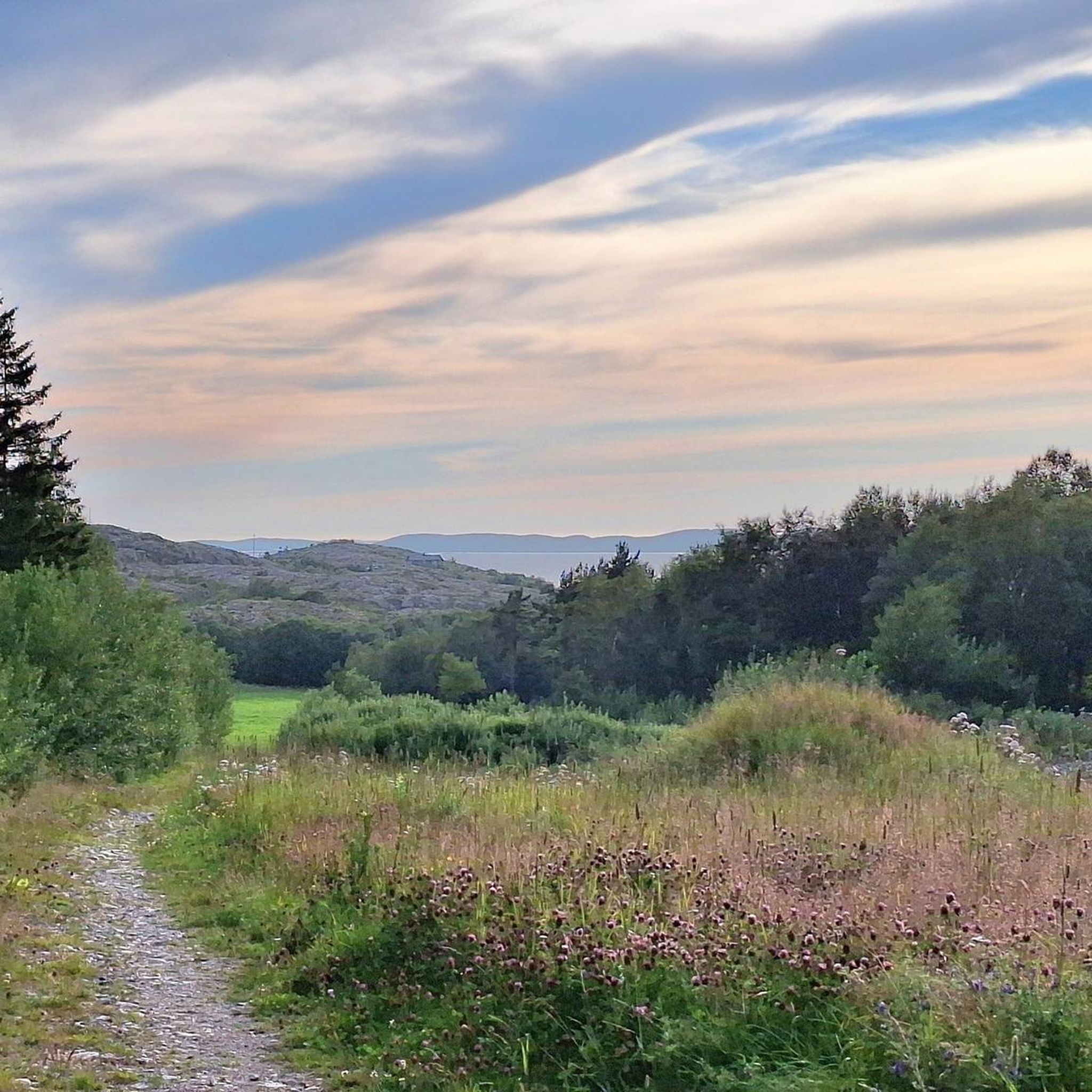
Jogging around Sømna offers diverse landscapes, from flat agricultural areas to coastal paths and rolling hills. The region is characterized by a wide coastal lowland, providing gentle terrain ideal for leisurely runs along country roads and fields. Moving inland, the landscape transitions to hills, offering more varied and challenging routes. The coastline features sheltered coves and beaches, presenting scenic running opportunities by the sea.
Best jogging routes around Sømna
- The most popular jogging route is Torghatten Bridge loop from Torghatten…
Last updated: November 1, 2026
30
runners
6.60km
00:41
50m
50m
Moderate run. Good fitness required. Mostly paved surfaces.
6
runners
Moderate run. Good fitness required. Mostly paved surfaces.

6
runners
29.3km
03:15
270m
270m
Hard run. Very good fitness required. Sure-footedness, sturdy shoes and alpine experience required.
Our route recommendations are based on thousands of hikes, rides, and runs completed by other people on komoot.
Tips from the Community

Worth it just for the view of the mountain and cave with the red houses in the foreground.
0
0
Great hike with the passage cave as a highlight. Definitely also walk the small loop to the old bridge, as you have the most beautiful view of the mountain from there.
0
0

Bronnoysund is a town in the municipality of Brønnøy in the county of Nordland, Norway. A sign in the town center indicates the town's location in the center of Norway. The distance to the North Cape and the Lindesnes Lighthouse (considered the southernmost point of the country) is 840 km.
2
0
In the town center of Bronnoysund lies Brønnøy Church, a stone church in the Neo-Gothic style dating from 1870. Parts of the chancel and entrance walls date back to the Middle Ages. The church's oldest artifact is a pre-Reformation wooden crucifix.
4
0
On the Helgeland coast in northern Norway, it's worth keeping an eye out for a particular mountain with a gaping hole: Torghatten. At the center of this imposing, 258-meter-high mountain is a hole that's a whopping 160 meters long, 35 meters high, and 15 to 20 meters wide—large enough for a Hurtigruten ship to sail through! Scientists and geologists alike agree that the Torghatten Hole was formed thousands of years ago during the Ice Age in Scandinavia. The mountain was originally considerably lower and was pushed upward by natural forces over time, as the sea gradually carved a hole through the rock layers.
3
0

Quite an easy tour over many steps, which were renovated last year by Sherpas from the Himalayas.
0
1

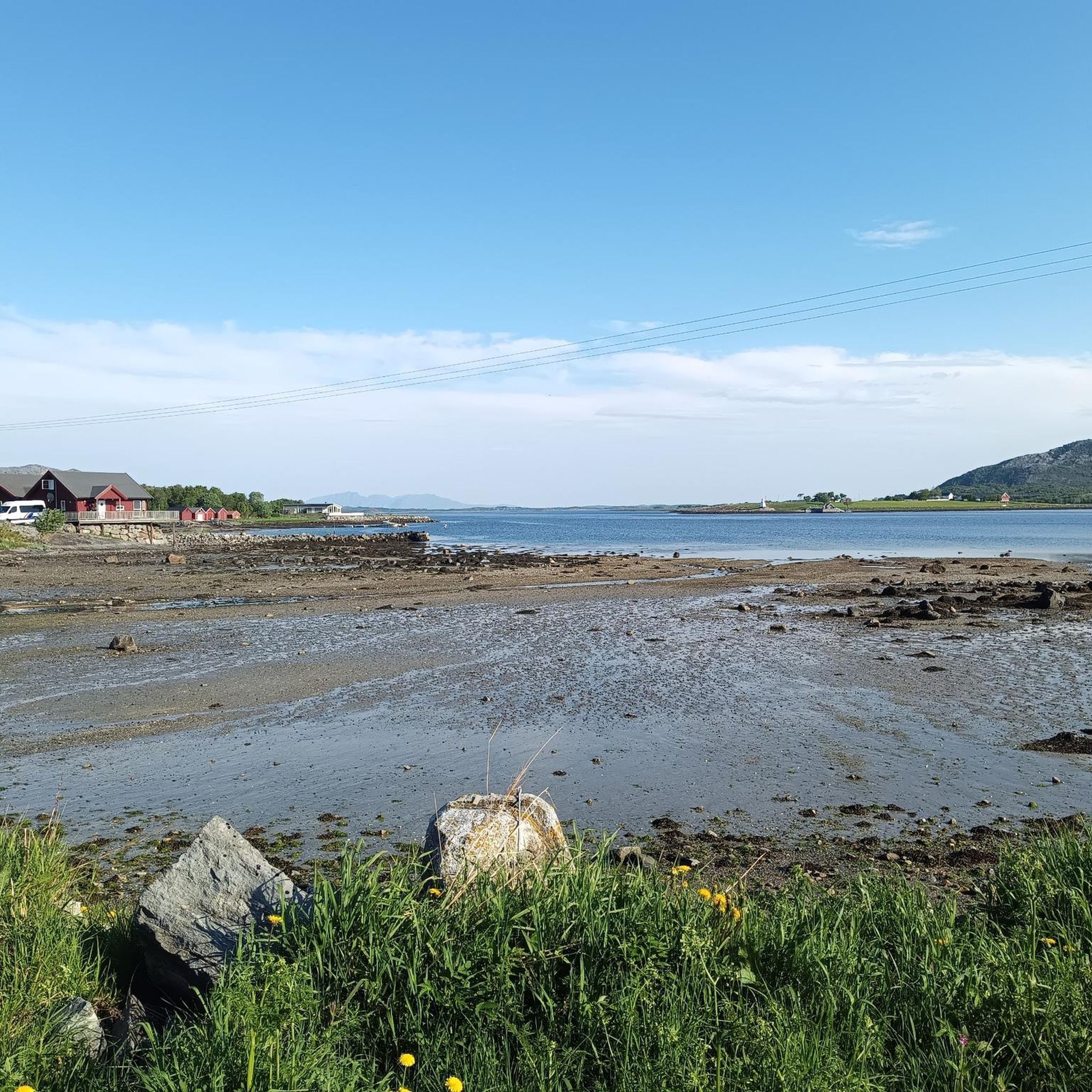
A wonderful view awaits you on the other side of the loch. From here you can look out over the enchanting landscape along the Helgeland coast and some of the picturesque little fishing villages on the island of Torget.
4
1

Such a beautiful view to the other end
1
1
Frequently Asked Questions
What types of terrain can I expect on running routes in Sømna?
Sømna offers a diverse range of running terrains. You'll find flat country roads winding through lush agricultural areas and golden grain fields, ideal for leisurely jogs. The coastline features sheltered coves and beaches, perfect for scenic coastal runs. Moving inland, the landscape transforms into rolling hills and mountains, providing more challenging routes with rewarding views.
Are there easy running paths suitable for beginners in Sømna?
Yes, Sømna has several options for easy running. The wide 'Strandflaten lowland' along the coast provides generally flat and accommodating terrain. Many country roads through agricultural areas are also gentle. For example, the Brønnøysund Midpoint Marker – Brønnøysund Church loop from Brønnøysund is a moderate route with minimal elevation, offering a relatively flat urban and coastal experience.
How many running routes are available in Sømna?
Komoot features several running routes in Sømna, with a total of 3 routes detailed in this guide. These routes cater to various fitness levels, from moderate coastal runs to more challenging trails with significant elevation.
Can I find flat running routes along the coast in Sømna?
Absolutely. Sømna's coastline is characterized by sheltered coves and beaches, including limestone beaches, which offer flat, scenic routes right by the sea. These paths are perfect for a refreshing coastal run, often accompanied by a mild sea breeze.
Are there any specific recreational areas ideal for jogging in Sømna?
The Sundshopen Rest Area, part of Norway's National Scenic Routes, is a well-designed spot along the Helgelandskysten (Coastal Route). Its accessibility and surrounding well-maintained paths make it a pleasant starting or stopping point for a scenic jog, offering benches, restrooms, and views of a long, gently sloping stone pier. You can learn more about it on Visit Helgeland.
Are the running trails in Sømna dog-friendly?
Generally, many outdoor trails in Norway, including those in Sømna, are dog-friendly, especially if your dog is on a leash. It's always recommended to keep dogs under control, especially in agricultural areas or near livestock, and to clean up after them. Specific rules might apply in certain protected areas, so always look for local signage.
Are there family-friendly running routes in Sømna?
Yes, Sømna offers family-friendly options, particularly on its flat agricultural roads and coastal paths. These provide gentle terrain suitable for all ages. The Torghatten Bridge loop from Torghatten is a moderate 4.1-mile route with moderate elevation, which could be a good option for active families.
What can I see along the running routes in Sømna?
Many routes offer scenic views of the diverse landscape, from agricultural fields to the coastline. You might encounter cultural elements like Olavskilden, a legendary spring. Near some routes, you can also explore attractions such as the famous Torghatten Cave or the Brønnøysund Church.
Are there any circular running routes in Sømna?
Yes, several routes in Sømna are designed as loops, allowing you to start and end at the same point. Examples include the Torghatten Bridge loop from Torghatten and the Buåshammartjønna – Storvatnet loop from Tautra, which offers a longer, more challenging experience.
What is the best time of year for running in Sømna?
Sømna's diverse landscape makes it suitable for running across multiple seasons. The warmer months, typically late spring to early autumn, offer pleasant temperatures and lush scenery, ideal for enjoying the coastal and agricultural routes. For more challenging mountain trails, summer provides the best conditions. Winter running is possible but requires appropriate gear for potentially snowy or icy conditions.
Are there any challenging running routes with significant elevation in Sømna?
Yes, for those seeking a challenge, the inland areas of Sømna offer hills and mountains. The prominent mountain Lysingen (648 meters) and the Ramtind Hike (210-meter climb) provide more strenuous uphill options. The Buåshammartjønna – Storvatnet loop from Tautra is a difficult 18.3-mile trail with significant elevation gain, often completed in about 3 hours 20 minutes.
Most popular routes around Sømna
Most popular attractions around Sømna

Get inspired with the komoot mobile app


Explore more
Browse the best Running Trails & Routes in other regions.
