The best running trails in Pickaway County
45
runners
15
runs
Jogging in Pickaway County, Ohio, offers diverse landscapes for outdoor activity. The region features a mix of natural elements, including rivers, wetlands, farmlands, and wooded areas. Extensive park systems and dedicated trail networks provide varied terrain for runners. These features contribute to a range of jogging experiences across the county.
Best jogging routes in Pickaway County
- The most popular jogging route is Running loop from Jackson Township, a 5.3 miles (8.6 km) trail that takes about 54 minutes to…
Last updated: September 26, 2026
7
runners
Moderate run. Good fitness required. Mostly paved surfaces. Suitable for all skill levels.
6
runners
3.72km
00:23
30m
30m
Easy run. Great for any fitness level. Mostly paved surfaces. Suitable for all skill levels.

4
runners
8.39km
00:52
40m
40m
Moderate run. Good fitness required. Mostly paved surfaces. Suitable for all skill levels.
5
runners
6.17km
00:38
10m
10m
Moderate run. Good fitness required. Mostly paved surfaces. Suitable for all skill levels.
5
runners
Moderate run. Good fitness required. Mostly paved surfaces. Suitable for all skill levels.
4
runners
4.60km
00:28
10m
10m
Easy run. Great for any fitness level. Mostly paved surfaces. Suitable for all skill levels.
3
runners
3.60km
00:22
10m
10m
Easy run. Great for any fitness level. Mostly paved surfaces. Suitable for all skill levels.
5
runners
9.02km
01:11
210m
210m
Moderate run. Good fitness required. Mostly paved surfaces. Suitable for all skill levels.
4
runners
10.5km
01:05
30m
30m
Moderate run. Good fitness required. Mostly paved surfaces. Suitable for all skill levels.
6
runners
Moderate run. Good fitness required. Mostly paved surfaces. Suitable for all skill levels.
Get access to more routes and recommendations from other explorers.
Already have an account?
Our route recommendations are based on thousands of hikes, rides, and runs completed by other people on komoot.
Start today with a free account
Your next adventure awaits.


Tips from the Community

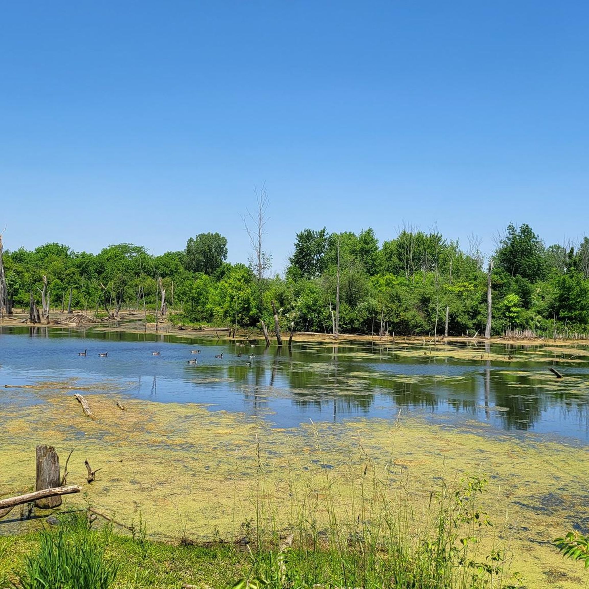
Turtle Pond is located near the Alum Creek Trail. With a short detour, you can visit the pond and take a quick stop to enjoy the scenery.
0
0
This park derives its name from the confluence where Alum, Big Walnut, and Blacklick creeks come together. It comprises five areas with separate entrances, all interconnected, offering a variety of routes to explore.
0
0

The Camp Chase rail trail cuts close to wide, placid Darby Creek here. If you follow the trail north it'll actually cross the creek on a bridge, then continue to the west.
0
0

Heron Pond is a small fishing pond in Columbus, Ohio. There are shady spots along the grassy banks, benches, picnic areas (with grills), and porta potties. It can be a little noisy at times because it's close to the interstate, but overall is a peaceful, fun, family friendly place to fish, relax, and enjoy nature.
0
0

This park derives its name from the confluence where Alum, Big Walnut, and Blacklick creeks come together. It comprises five areas with separate entrances, all interconnected, offering a variety of routes to explore.
0
0
As the name implies, this pond is teeming with bird species, including the majestic blue herons and many others. It's also a habitat where you might encounter beavers, minks, coyotes, deer, and various other forms of wildlife.
0
0

This small area within Walnut Woods Metro Park is filled with towering pines and sweetgum trees along a semi-paved path. Pets are allowed on this trail.
0
0
Slate Run River is a tributary to the Scioto River. The creek bed is comprised of slate, giving the river its name. Many small waterfalls can be found along this creek. The creek sometimes runs dry because it is mostly fed by rainfall.
0
0
Frequently Asked Questions
How many running routes are available in Pickaway County?
There are at least 9 dedicated running routes documented on komoot for Pickaway County, offering a range of distances and difficulties. These include 2 easy routes, 6 moderate routes, and 1 more challenging option, ensuring variety for all fitness levels.
Are there any easy jogging routes suitable for beginners or a relaxed run?
Yes, Pickaway County offers several easy jogging routes. For instance, the Running loop from Spangler Hill is an easy 4.6 km (2.9 miles) trail, and the Tall Pines Area loop from Madison Township is another easy option at 3.6 km (2.2 miles).
What are some scenic running trails in Pickaway County?
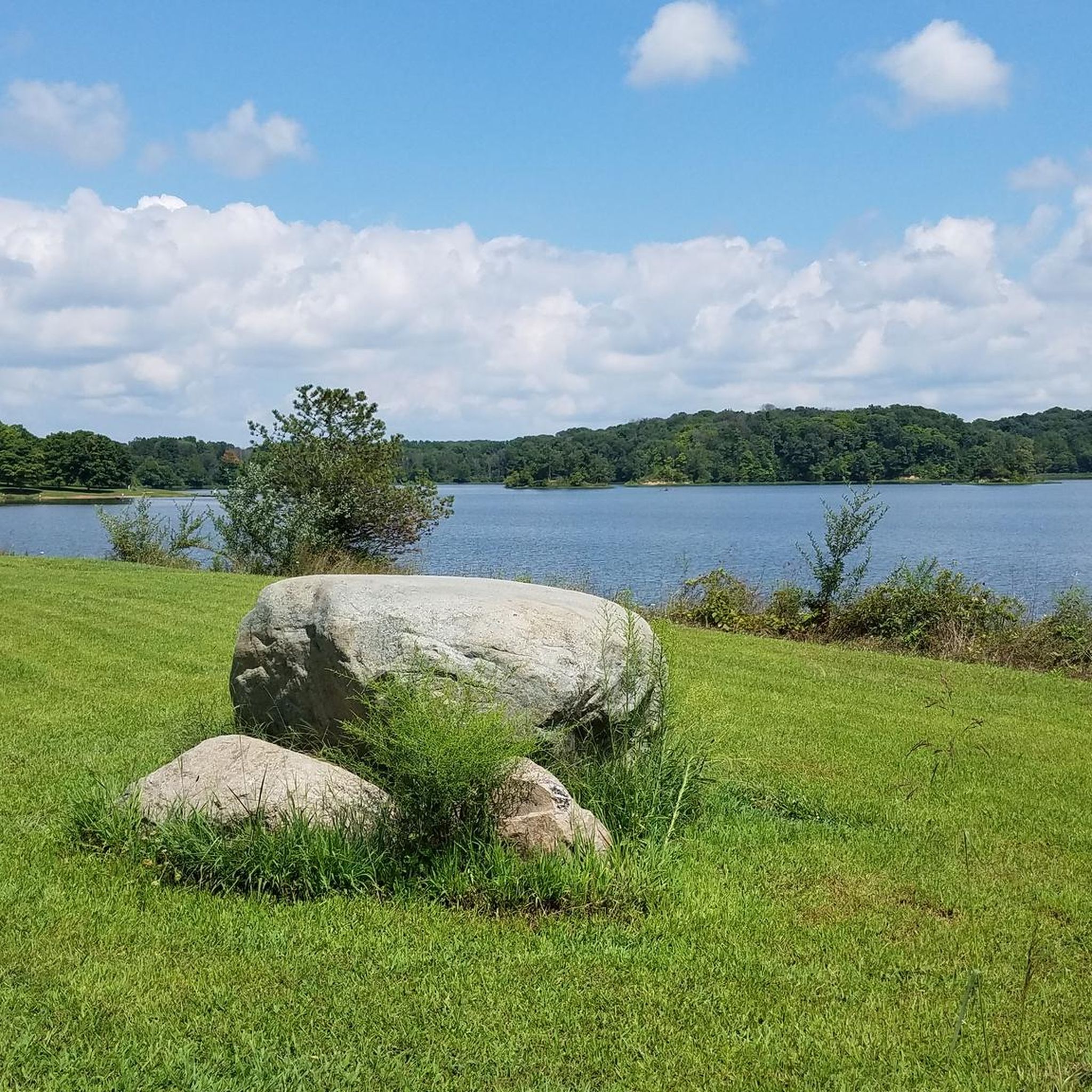
Pickaway County boasts diverse landscapes for scenic runs. The Hargus Lake loop from A W Marion State Park offers beautiful water views as it circles Hargus Lake. The Roundtown Trail in Circleville provides opportunities for birdwatching as it passes through wetlands, small creeks, and wooded boundaries. Canal Park also features historic canal elements and scenic Scioto River views.
Are there any long-distance running options in the area?
While many routes are shorter, the developing Pickaway Trail, part of the 'Rails to Trails' initiative, aims to be a 16-mile paved trail connecting Circleville to New Holland. Currently, about 2 miles are cleared, with 1.5 miles paved, offering a good base for longer runs as it expands. Deer Creek State Park also features 9 miles of hiking trails that can be utilized for longer runs.
Are the running trails in Pickaway County dog-friendly?
Yes, many trails in Pickaway County are pet-friendly. For example, the Towpath Trail and Scioto River Trail within Canal Park are explicitly noted as suitable for pets, making them great options for jogging with your dog.
Are there any circular (loop) running routes available?
Absolutely. Many routes in Pickaway County are designed as loops, providing a convenient running experience. Popular options include the Running loop from Jackson Township, the Hargus Lake loop from A W Marion State Park, and the Running loop from Canal Winchester.
What unique landmarks or attractions can I see along the running routes?
Pickaway County's routes offer glimpses of local attractions. Along the Hargus Lake loop, you'll be running around Hargus Lake itself. Other notable points of interest in the region include the Slate Run Living Historical Farm and the historic Blackburn/Wesner Bridge.
Where can I find parking for these running trails?
Parking is generally accessible for many trails. For the Roundtown Trail, you can find parking at the Pickaway County YMCA, Ohio Christian University, and Circleville Elementary School. The Pickaway Trail has access points with parking south of Canal Park on Canal Road and at the Calamus Swamp Parking lot on State Route 104.
Are there any trails suitable for families with children?
Yes, trails like the Roundtown Trail, with its paved, 10-foot-wide path, are ideal for families. Canal Park's Towpath and Scioto River Trails are also suitable for walking and light jogging, offering a pleasant environment for all ages.
What kind of terrain can I expect on Pickaway County's running trails?
The terrain in Pickaway County is quite varied. You'll find paved paths like the Roundtown Trail and sections of the Pickaway Trail, as well as grassed trails along the Towpath Trail in Canal Park. Routes often pass through wetlands, farmlands, and wooded areas, providing a mix of surfaces and natural scenery.
Are there any challenging running routes for experienced runners?
While most routes are easy to moderate, Pickaway County does offer a more challenging option among its documented trails. For those seeking a greater challenge, exploring the extensive trail systems at A.W. Marion State Park (6 miles of trails) or Deer Creek State Park (9 miles of trails) could provide more varied and demanding terrain.
What do other runners enjoy most about jogging in Pickaway County?
Runners often praise the diverse natural settings and well-maintained paths. The mix of rivers, wetlands, farmlands, and wooded areas provides a scenic backdrop, and the commitment to developing trails like the Roundtown and Pickaway Trails is highly appreciated by the komoot community.
Most popular attractions in Pickaway County

Get inspired with the komoot mobile app


Didn’t find what you were looking for?
Check out more Running Trails & Routes throughout Pickaway County below and find the perfect route in your destination.
Explore more
Browse the best Running Trails & Routes in other regions.
