The best cycling routes around Sault Ste. Marie
4.6
(23)
69
riders
7
rides
Best touring cycling routes in Sault Ste. Marie offer diverse landscapes, from the waterfronts of Lake Superior and the St. Marys River to the forested wilderness of Hiawatha Highlands. The region features rolling hills, old-growth pine forests, and rocky outcroppings of the Canadian Shield, providing varied terrain for cyclists. The city's extensive trail networks connect cultural, historical, and natural areas, making it suitable for different cycling experiences. These routes traverse tranquil forests, wetlands, and scenic river views.
Best touring cycling…
Last updated: July 2, 2026
5.0
(2)
20
riders
25.4km
01:36
120m
120m
Easy bike ride. Great for any fitness level. Mostly paved surfaces. Suitable for all skill levels.
5.0
(1)
12
riders
22.5km
01:20
110m
110m
Easy bike ride. Great for any fitness level. Mostly paved surfaces. Suitable for all skill levels.

Sign up for free
10
riders
9.91km
00:53
90m
90m
Easy bike ride. Great for any fitness level. Mostly paved surfaces. Suitable for all skill levels.
3.9
(17)
8
riders
19.3km
01:11
90m
90m
Easy bike ride. Great for any fitness level. Mostly paved surfaces. Suitable for all skill levels.
4.3
(3)
7
riders
Easy bike ride. Great for any fitness level. Mostly paved surfaces. Suitable for all skill levels.
Get access to more routes and recommendations from other explorers.
Sign up for free
Already have an account?
Our route recommendations are based on thousands of hikes, rides, and runs completed by other people on komoot.
Start today with a free account
Your next adventure awaits.
Login or Signup

Other adventures around Sault Ste. Marie

Tips from the Community

St. Mary's Island is a popular tourist destination in the Whitefish Channel on the St. Mary's River. There are many wild animals to see on the island, such as beavers, muskrats and minks. You can also observe numerous water birds and songbirds. It's worth packing your binoculars.
1
0
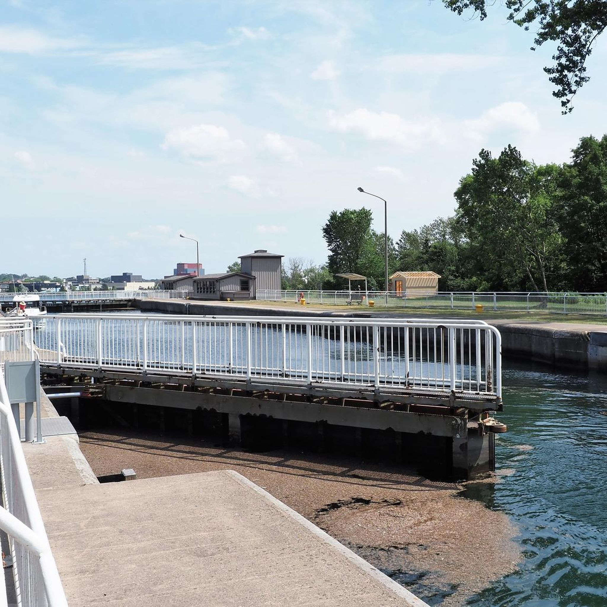
Your way to South St. Mary's Island takes you through one of the lock gates. The Visitor Center is located right next to the lock, where you can find out more about the island and its walking trails.
1
0
Frequently Asked Questions
What types of terrain can I expect on touring cycling routes around Sault Ste. Marie?
Sault Ste. Marie offers a diverse range of terrain for touring cyclists. You'll find well-maintained paved roads, dedicated multi-use trails like the John Rowswell Hub Trail, and a growing network of gravel paths. The broader Algoma region features rolling hills and the rugged Canadian Shield, providing varied elevation changes. Routes like the Searchmont Highway offer hilly rides, while areas like Sylvan Valley provide scenic hills with less traffic. For a gentler experience, the Hub Trail is mostly flat.
Are there any easy or family-friendly touring cycling routes in Sault Ste. Marie?
Yes, Sault Ste. Marie has several easy and family-friendly options. The Fort Creek loop from Canadian Bushplane Heritage Centre is an easy 24.5 km route. Another great option is the Across the lock gates – St. Mary's Island loop from Canadian Bushplane Heritage Centre, which is 17.2 km and also rated easy. The John Rowswell Hub Trail, a 25 km multi-use trail, is particularly beginner-friendly with separate lanes and extended shoulders, connecting many points of interest within the city.
What are some scenic highlights or landmarks I can see along the cycling routes?
Many routes offer scenic views and access to local landmarks. The John Rowswell Hub Trail connects to the Sault Ste. Marie Canal National Historic Site and the Canadian Bushplane Heritage Centre. You can also enjoy expansive views of Lake Superior and the St. Marys River, especially along routes extending to Gros Cap and Pointe des Chenes. The Hiawatha Highlands, while known for mountain biking, offers tranquil forests and wetlands that can be appreciated from nearby touring routes.
What is the best time of year for touring cycling in Sault Ste. Marie?
The best time for touring cycling in Sault Ste. Marie is typically from late spring through early autumn. During these months, the weather is generally mild and pleasant, and the natural scenery is at its peak. Summer offers warm temperatures, while spring and fall provide cooler rides and beautiful foliage. Winter cycling is possible for experienced riders, but many trails may be snow-covered.
Are there any circular touring cycling routes available?
Yes, several routes are designed as loops, allowing you to start and end at the same point. Examples include the Fort Creek loop from Canadian Bushplane Heritage Centre (24.5 km) and the Fort Creek loop from Greyhound station (33 km). The John Rowswell Hub Trail is also a 25 km loop around the city, perfect for exploring without retracing your steps.
Where can I park my car when accessing touring cycling routes in Sault Ste. Marie?
Parking is generally available at various access points for the cycling routes. For routes starting from the Canadian Bushplane Heritage Centre, you can typically find parking there. Other routes might have designated parking areas near trailheads or in public lots within the city. For instance, the Fort Creek loop from Greyhound station suggests starting near the Greyhound station, where parking options may be available.
What do other touring cyclists enjoy most about cycling in Sault Ste. Marie?
The area is highly rated by the komoot community, with an average score of 4.7 stars. Reviewers often praise the diverse landscapes, from waterfront views along the St. Marys River to the tranquil forests of areas like Fort Creek. The accessibility of trails like the John Rowswell Hub Trail, which connects many city attractions, is also frequently highlighted as a major benefit for exploring the city by bike.
Are there any routes that feature waterfalls?
While the touring cycling routes themselves may not directly pass by major waterfalls, the broader Hiawatha Highlands area, located north of downtown, is known for its cascading waterfalls within its extensive trail network. Some touring routes might offer views of the natural landscape that feeds these features, but for direct waterfall access, you might need to explore specific hiking or mountain biking trails within the Highlands.
Are there any longer or more challenging touring cycling routes for experienced riders?
Yes, for those seeking more challenge, routes like the Crystal Falls – Thayer Reservoir loop from Thayer Reservoir (22.2 km) and the Fort Creek loop from Greyhound station (33 km) are rated as moderate difficulty, offering more distance and elevation. Beyond the listed routes, road cycling options like the Searchmont Highway (a 100km round trip) or longer tours to Bruce Mines, Sylvan Valley, and Echo Bay provide varied terrain and distances up to 130 km for experienced cyclists.
Can I access touring cycling routes using public transport in Sault Ste. Marie?
While specific public transport connections directly to all trailheads might vary, the city's public transit system can help you get closer to some starting points. For example, the Fort Creek loop from Greyhound station is accessible from a central transport hub. The John Rowswell Hub Trail is designed to be easily accessible from various points within the city, making it convenient to reach by public transport or by cycling from your accommodation.
Are there options for gravel cycling in the Sault Ste. Marie area?
Yes, the region is gaining popularity for gravel cycling. Routes like Maki Road to Red Rock offer climbs out of the city before descending to Lake Superior on mixed surfaces. The Old Goulais Bay Road routes provide a test of fitness and skill with steep sections and potential loose rocks. Echo Bay, located east of Sault Ste. Marie, also serves as a starting point for many gravel routes with finer gravel and gentler terrain.
Most popular attractions around Sault Ste. Marie

Get inspired with the komoot mobile app


Explore more
Browse the best Cycling routes in other regions.
