The best walks and hikes around Atzara
4.5
(33)
104
hikers
10
hikes
Hiking around Atzara offers diverse natural landscapes in the heart of Sardinia's Mandrolisai region. The area is characterized by rolling hills, dense forests, and cultivated vineyards, situated at the foot of the Gennargentu mountains. The Araxisi river basin further contributes to the region's varied terrain, providing a mix of rural and mountainous hiking experiences. This combination of features makes Atzara an ideal destination for exploring Sardinia's natural beauty on foot.
Best hiking trails around Atzara
- The most popular hiking route…
Last updated: June 27, 2026
3.8
(9)
29
hikers
9.40km
02:54
310m
320m
Moderate hike. Good fitness required. Easily-accessible paths. Suitable for all skill levels.
5.0
(7)
21
hikers
12.2km
03:54
520m
520m
Moderate hike. Good fitness required. Easily-accessible paths. Suitable for all skill levels.

Sign up for free
4.5
(6)
12
hikers
10.8km
03:25
460m
460m
Moderate hike. Good fitness required. Easily-accessible paths. Suitable for all skill levels.
4.3
(3)
5
hikers
18.1km
05:38
700m
690m
Hard hike. Very good fitness required. Easily-accessible paths. Suitable for all skill levels.
4.0
(3)
4
hikers
5.86km
01:47
200m
200m
Easy hike. Great for any fitness level. Easily-accessible paths. Suitable for all skill levels.
Get access to more routes and recommendations from other explorers.
Sign up for free
Already have an account?
Our route recommendations are based on thousands of hikes, rides, and runs completed by other people on komoot.
Start today with a free account
Your next adventure awaits.
Login or Signup
Popular around Atzara
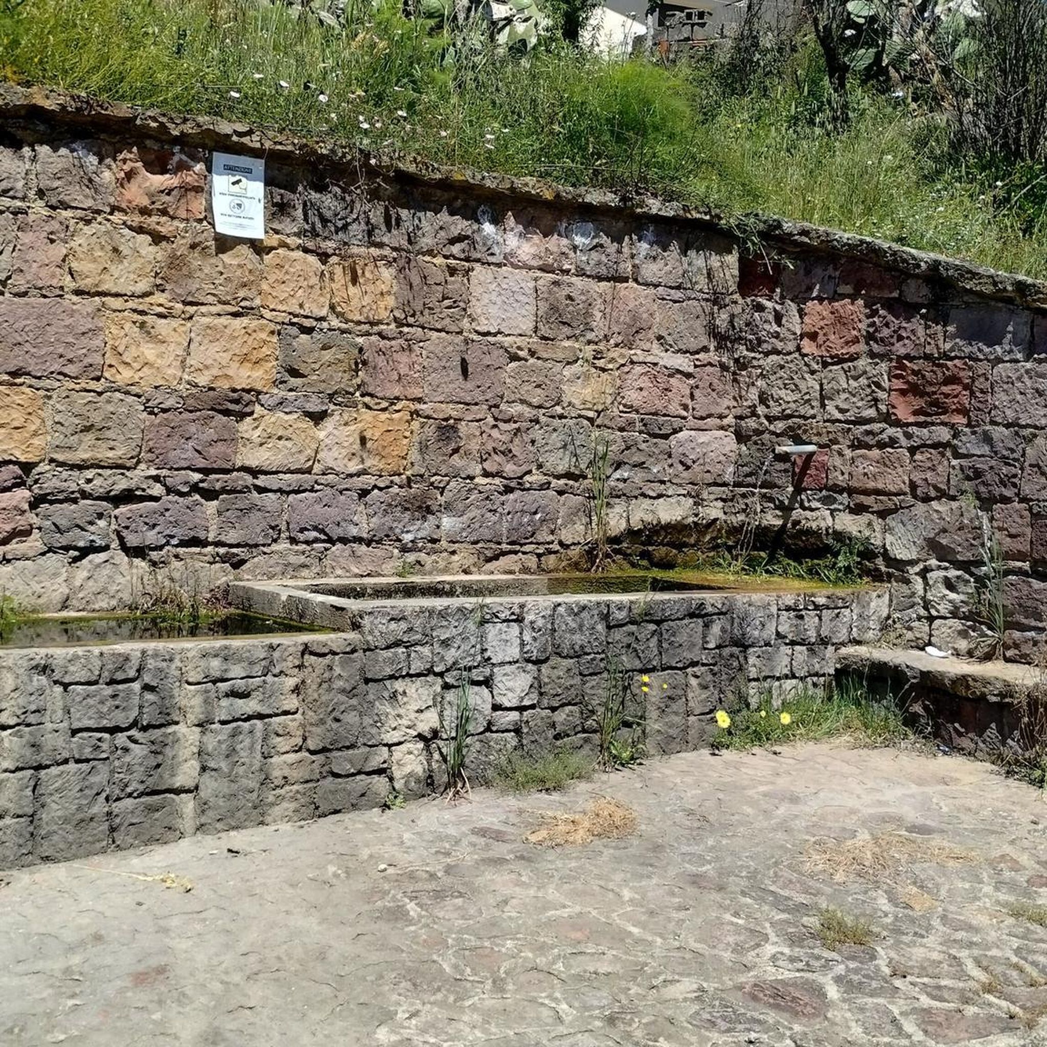

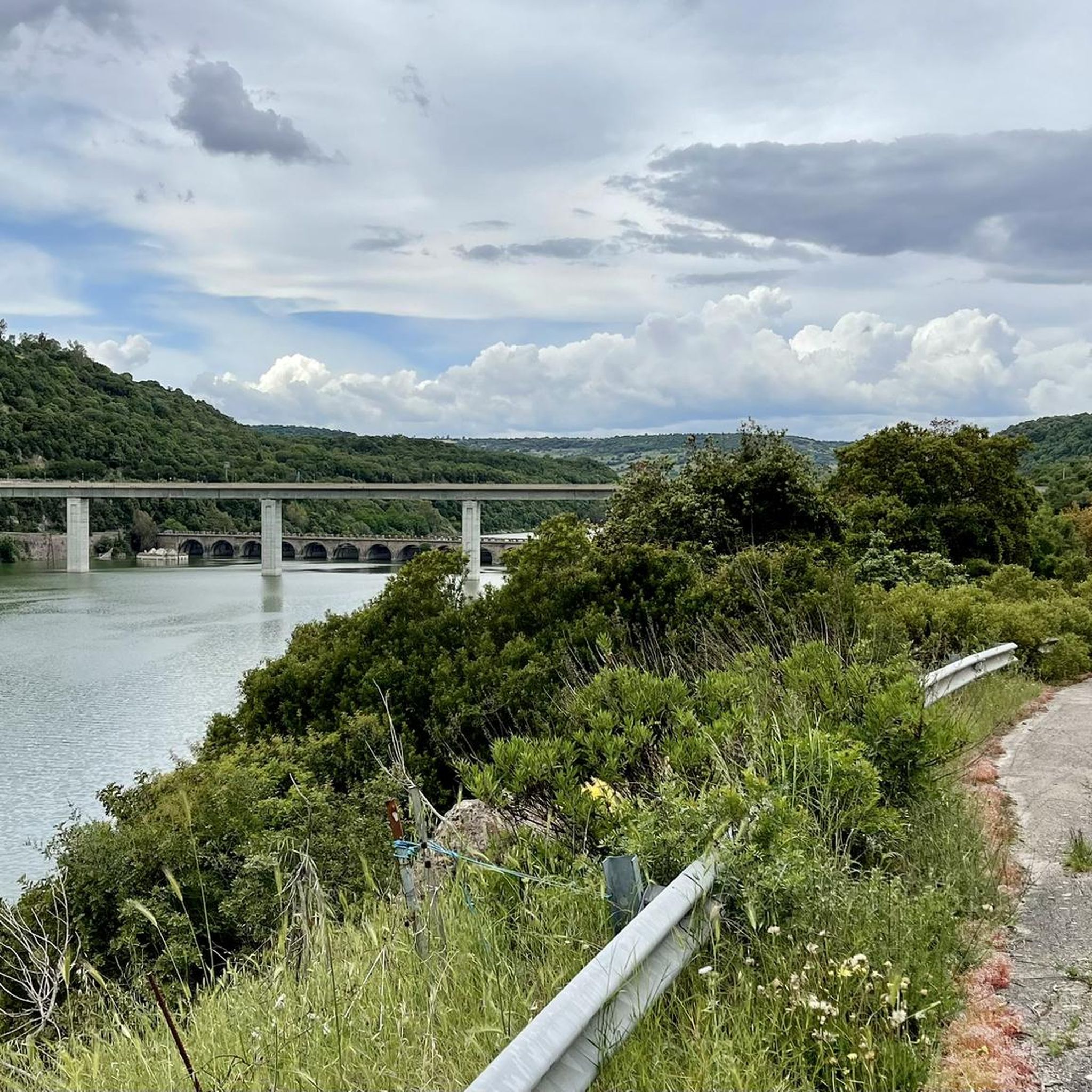
Tips from the Community

Enormous monolith from which you can enjoy a fantastic view and great silence. There might be sheep grazing with dogs, but they just bark without getting close.
0
0

This small town is located right at the foot of the majestic Gennargentu, at an altitude of 800 meters above sea level. It's interesting to know that the country's economy once revolved around the snow trade!
1
0

interesting rock formation, stands out from the surrounding area
3
0
partly looks like an old fortress from a distance
2
0
There are always beautiful views, for example of the village.
2
0

Small town strategically positioned at the foot of the Gennargentu, a real gem.
0
1
Frequently Asked Questions
What types of hiking trails can I find around Atzara?
Atzara offers a diverse range of hiking trails, from easy walks through cultivated vineyards and orchards to more challenging ascents in the hilly terrain leading towards the Gennargentu mountains. You'll find paths winding through dense forests, along the Araxisi river basin, and offering panoramic views of the Mandrolisai region.
Are there easy hiking options suitable for beginners in Atzara?
Yes, Atzara has several easy hiking routes perfect for beginners or those looking for a relaxed stroll. There are 3 easy tours available. An example is the Church of Aritzo loop from Aritzu/Aritzo, which is 3.6 miles (5.9 km) long and typically takes about 1 hour 46 minutes to complete.
What are some notable natural features or viewpoints to look out for on the trails?
Hikers can enjoy picturesque scenery including vast forests, rolling vineyards, and orchards. The region offers views of the majestic Gennargentu mountains and the Araxisi river basin. Specific routes, like the Church of Aritzo – View of Monte Texile loop from Aritzu/Aritzo, provide scenic views, including those of Monte Texile.
Are there any circular hiking routes available in the Atzara area?
Yes, many of the trails around Atzara are circular, allowing you to start and end your hike in the same location. Examples include the Church of Aritzo – View of Monte Texile loop from Aritzu/Aritzo and the Bau Succuru – Bau Alasi loop from Aritzu/Aritzo, both offering diverse landscapes.
What historical or archaeological sites can I explore while hiking near Atzara?
The region is rich in history, offering several archaeological sites that can be visited. These include Nuraghe Lo, Nuraghe Bardacolo, tombs of the giants, and Domos de Janas (Santu Luisu). You can find more details about these and other points of interest in the Attractions around Atzara guide, such as Nuraghe Lo.
What do other hikers say about the trails in Atzara?
The hiking routes around Atzara are highly regarded by the komoot community, with an average rating of 4.6 stars from over 30 reviews. Hikers often praise the varied terrain, the beautiful natural landscapes, and the cultural points of interest found along the paths.
Are there any challenging hikes for experienced trekkers?
Yes, for those with very good fitness and alpine experience, there are more challenging routes. One such example is the Muscurida – Conca Giuanni Fais loop from Tonara, which is 10.3 miles (16.5 km) long with over 2,200 feet (700 meters) of elevation gain, requiring sturdy shoes and sure-footedness.
What is the typical duration for hikes in the Atzara area?
Hikes around Atzara vary in duration depending on their difficulty and length. Easy trails can be completed in under 2 hours, while moderate routes often take between 3 to 5 hours. More difficult trails, like the Muscurida – Conca Giuanni Fais loop, can extend beyond 5 hours.
Can I combine hiking with cultural experiences in Atzara?
Absolutely. Atzara itself is a medieval village with a preserved urban fabric. Nearby Aritzo is known for its murals and sculptures. The region is also part of the Wine Road of Mandrolisai, offering opportunities for wine tasting experiences after your outdoor excursions, blending natural beauty with local culture.
Are there options for family-friendly hikes around Atzara?
Yes, the area offers several easy trails that are suitable for families. These routes typically have less elevation gain and shorter distances, allowing for an enjoyable experience for all ages. Look for trails categorized as 'easy' for the best family-friendly options.
What is the best time of year to go hiking in Atzara?
Atzara's diverse landscapes make it suitable for hiking across multiple seasons. Spring and autumn generally offer pleasant temperatures and vibrant scenery, with blooming wildflowers or rich fall colors. Summer can be warm, so early morning or late afternoon hikes are recommended. Winter hiking is also possible, though conditions may vary, especially at higher elevations.
Most popular routes around Atzara
Most popular attractions around Atzara

Get inspired with the komoot mobile app


Explore more
Browse the best Hikes in other regions.
