The best walks and hikes around Maumusson
4.7
(23)
134
hikers
39
hikes
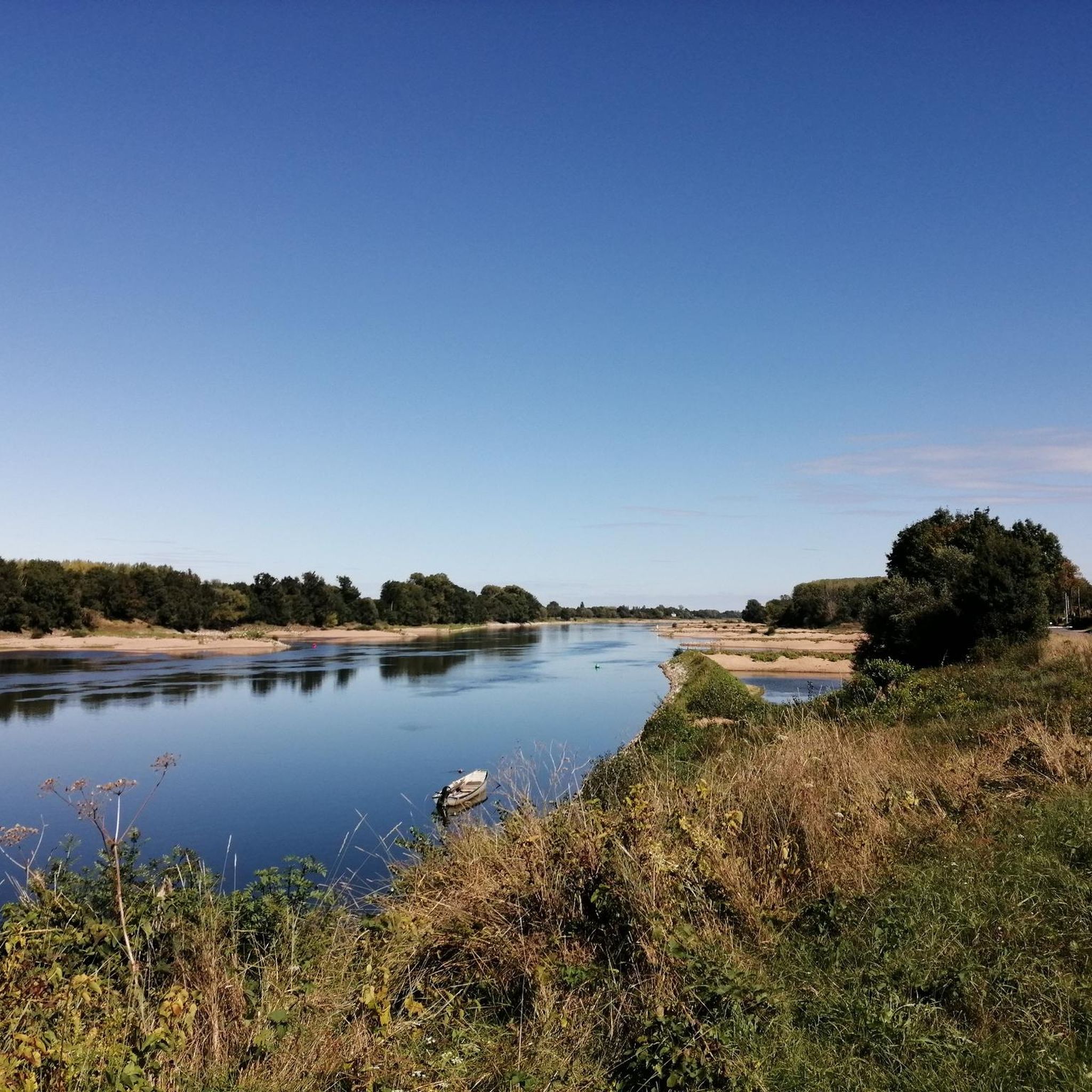
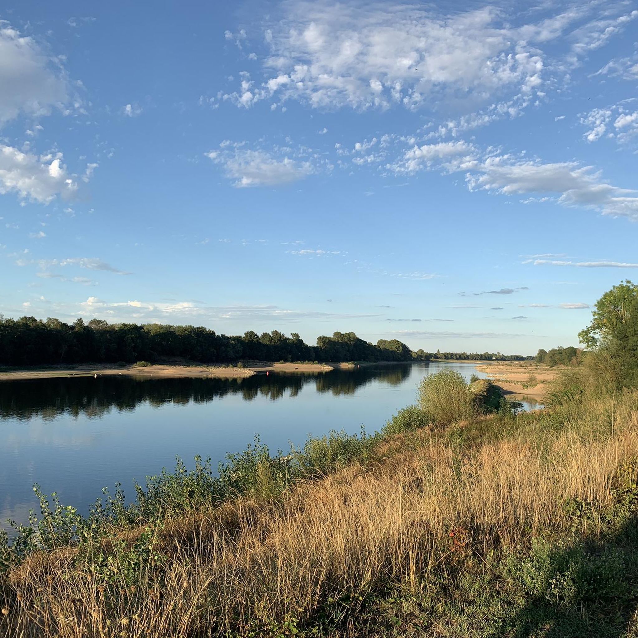
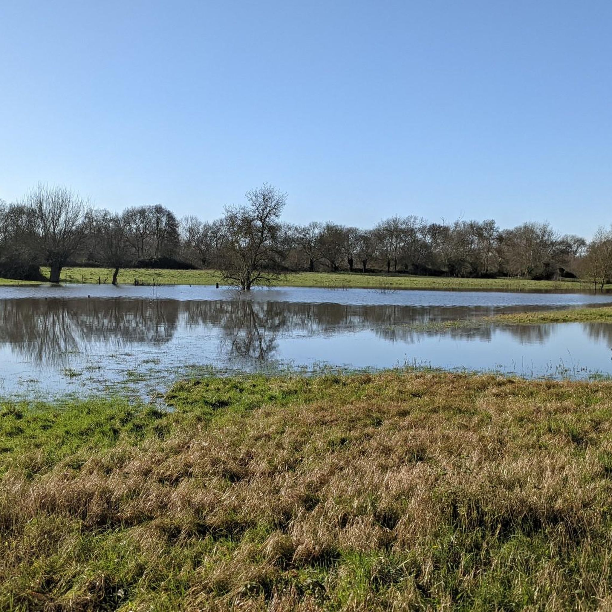
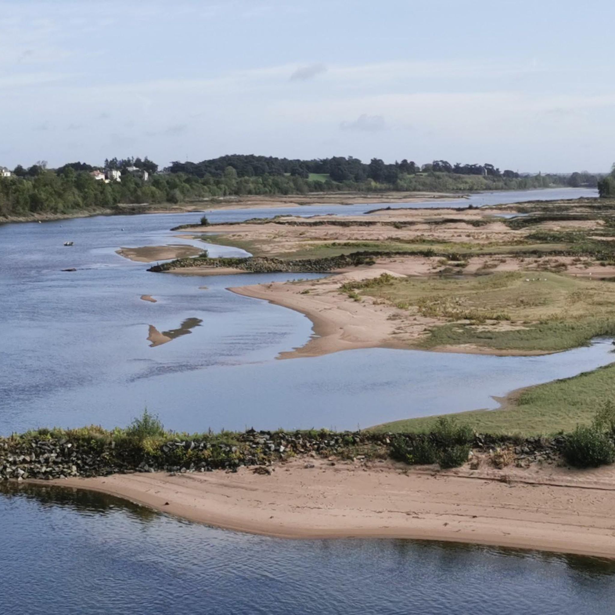
Hiking around Maumusson, located in Loire-Atlantique, is characterized by its hilly and wooded terrain, offering varied natural landscapes. The region features riverine scenery along the Èvre and Loire, with trails often following waterside paths. Hikers can explore "Boires" (ancient natural depressions) and "Coteaux" (hillsides), which are integrated into discovery trails. Wooded areas are prevalent, providing natural serenity for outdoor activities.
Best hiking trails around Maumusson
- The most popular hiking route is Étang de la Gravelle – Étang des Troches loop…
Last updated: July 4, 2026
5.0
(1)
14
hikers
10.1km
02:36
50m
50m
Moderate hike. Good fitness required. Easily-accessible paths. Suitable for all skill levels.
8
hikers
11.7km
02:59
40m
40m
Moderate hike. Good fitness required. Easily-accessible paths. Suitable for all skill levels.

Sign up for free
5.0
(1)
8
hikers
10.6km
02:45
70m
70m
Moderate hike. Good fitness required. Easily-accessible paths. Suitable for all skill levels.
5.0
(1)
4
hikers
5.92km
01:32
40m
40m
Easy hike. Great for any fitness level. Easily-accessible paths. Suitable for all skill levels.
5.0
(1)
2
hikers
5.05km
01:21
60m
60m
Easy hike. Great for any fitness level. Easily-accessible paths. Suitable for all skill levels.
Get access to more routes and recommendations from other explorers.
Sign up for free
Already have an account?
Our route recommendations are based on thousands of hikes, rides, and runs completed by other people on komoot.
Start today with a free account
Your next adventure awaits.
Login or Signup

Tips from the Community

The Étang des Troches, the green lung of Pannecé, is the ideal place for an outdoor excursion. The body of water closest to the car park is a leisure and walking area. It features a walking trail, a pond open for fishing, large family picnic tables, a children's playground including a table tennis table, a fitness area, restrooms, and a shelter in case of rainy weather. https://www.intramuros.org/pannece/decouvrir/11178
0
0
Dating from the 17th century, the mill operated until 1965. Bought by the municipality and restored identically, it is the last mill in the Pays d'Ancenis still in operation. A slideshow retraces its history. https://www.moulindelagarenne.com/
0
0

Guinguette open from June to September. Lots of space and very friendly.
0
0
At the exit of the village, towards Pouillé-les-Coteaux, you will find the town's lake surrounded by a 500m long path. A gentle path connects the body of water to the town hall park. Ideal for picnics (tables available), outdoor activities (pétanque court, walks), wedding photos, fishing https://www.larocheblanche.fr/sport-loisirs/le-plan-deau
0
0

Ideal for taking a little break.
0
0

This pond is a water reservoir on the Donneau River. Le Donneau which changes its name (???) from Couffé to be called Le Hâvre. A well-known haven for Loire à Vélo cyclists since it is the river which flows at the foot of the Oudon castle before flowing into the Loire a little further on. Nice pond with trees but I found that it lacked benches and picnic tables near the water. If the town hall reads me...
1
0

The church was reopened in 2017 after a year of closure for essential safety work (consolidation of the vaults). At the beginning of the 17th century, the Bourdinière church had become too small and there was talk of rebuilding it. But the population of the town of Pannecé had become greater than that of Bourdinière, so much so that it was in the town that the current church was built to become the parish church in 1648.
0
0
Frequently Asked Questions
How many hiking trails are available around Maumusson?
There are over 30 hiking routes available around Maumusson. These trails offer a variety of experiences, with 17 routes classified as easy, 15 as moderate, and at least one challenging option for more experienced hikers.
What kind of terrain can I expect on hikes around Maumusson?
Hikes around Maumusson are characterized by hilly and wooded terrain, offering diverse natural landscapes. You'll find riverine scenery along the Èvre and Loire, with many trails following waterside paths. The region also features unique 'Boires' (ancient natural depressions, often marshy) and 'Coteaux' (hillsides), which are integrated into various discovery trails.
Are there easy hiking options suitable for beginners or casual walkers?
Yes, Maumusson offers many easy hiking options. For instance, the Roche Blanche lake loop from La Roche-Blanche is an easy 3.7-mile (5.9 km) trail that takes about 1 hour 32 minutes, leading through pleasant waterside paths. Another accessible option is the Étang de Mondouet – Bois de la Chaussée loop from La Cornuaille, which is 3.1 miles (5.0 km) long.
Are there any challenging hikes in the Maumusson area?
While most routes are easy to moderate, there is at least one challenging hike available around Maumusson. These more demanding trails typically involve greater elevation changes or longer distances, providing a good workout for experienced hikers.
What are some notable natural features or landmarks I might see on a hike?
Hiking around Maumusson offers views of several interesting features. You can explore the banks of the Èvre and Loire rivers, discover 'Boires' and 'Coteaux', and enjoy the serenity of wooded areas. Specific points of interest include the historic Cale de la Chaussée, the scenic La Rougeaudrie, and the Bridge Over the Erdre in Candé. The Château de Villegontier loop from Candé also offers views of the historic Château de Villegontier.
Are there any circular walks available around Maumusson?
Yes, many of the trails around Maumusson are circular, allowing you to start and end at the same point. Examples include the popular Étang de la Gravelle – Étang des Troches loop from Pannecé, the Château de Villegontier loop from Candé, and the Roche Blanche lake loop from La Roche-Blanche.
What do other hikers enjoy most about hiking in Maumusson?
The hiking routes in Maumusson are highly rated by the komoot community, with an average score of 4.7 stars from over 20 reviews. Hikers often praise the varied terrain, the peaceful wooded areas, and the scenic waterside paths along the rivers and lakes.
Are the hiking trails around Maumusson suitable for families?
Yes, with a good number of easy and moderate trails, many routes around Maumusson are suitable for families. The varied landscapes, including woods and waterside paths, offer engaging environments for children. Consider shorter, easy loops like the Parc Bellevue loop from Candé for a family-friendly outing.
Can I bring my dog on the hiking trails in Maumusson?
Generally, dogs are welcome on many hiking trails in the Maumusson area, especially in the natural, wooded, and riverine environments. However, it's always recommended to keep your dog on a leash, especially in areas with wildlife or near agricultural land, and to check for specific local regulations or signage on individual routes.
Is there parking available at the trailheads?
While specific parking details for every trailhead are not always listed, given the rural nature of Maumusson and its surrounding villages, you can generally expect to find parking options near the start of popular hiking routes, often in village centers or designated parking areas for natural sites. It's advisable to check local maps or route descriptions for precise parking information before your hike.
What is the best time of year to go hiking in Maumusson?
The best time to hike in Maumusson is typically during spring, summer, and autumn. Spring offers lush greenery and blooming flora, while autumn provides beautiful fall colors in the wooded areas. Summer is also pleasant, especially along the waterside paths, though it can be warmer. Winter hiking is possible, but some paths might be muddy, and daylight hours are shorter.
Most popular routes around Maumusson
Most popular attractions around Maumusson

Get inspired with the komoot mobile app


Explore more
Browse the best Hikes in other regions.
