The best walks and hikes around Vouarces
4.5
(13)
74
hikers
13
hikes
Hiking around Vouarces offers a variety of trails through a landscape characterized by rolling agricultural fields, interspersed woodlands, and gentle river valleys. The region features a mix of open countryside and shaded paths, providing diverse environments for outdoor exploration. Elevations are generally modest, making the area accessible for various hiking abilities. The hydrographic network, including the Aube and Superbe rivers, also contributes to the local rural charm.
Best hiking trails around Vouarces
- The most popular hiking route is Circuit Forêt…
Last updated: July 5, 2026
3
hikers
12.2km
03:07
50m
50m
Moderate hike. Good fitness required. Easily-accessible paths. Suitable for all skill levels.
4.0
(1)
15
hikers
5.48km
01:23
10m
10m
Easy hike. Great for any fitness level. Easily-accessible paths. Suitable for all skill levels.

Sign up for free
5.0
(1)
7
hikers
8.64km
02:11
10m
10m
Moderate hike. Good fitness required. Easily-accessible paths. Suitable for all skill levels.
4
hikers
9.83km
02:29
10m
10m
Moderate hike. Good fitness required. Easily-accessible paths. Suitable for all skill levels.
5.0
(1)
5
hikers
10.6km
02:40
20m
20m
Moderate hike. Good fitness required. Easily-accessible paths. Suitable for all skill levels.
Get access to more routes and recommendations from other explorers.
Sign up for free
Already have an account?
Our route recommendations are based on thousands of hikes, rides, and runs completed by other people on komoot.
Start today with a free account
Your next adventure awaits.
Login or Signup
Popular around Vouarces


Tips from the Community

In the middle of the village there is a church with Joan of Arc
0
0

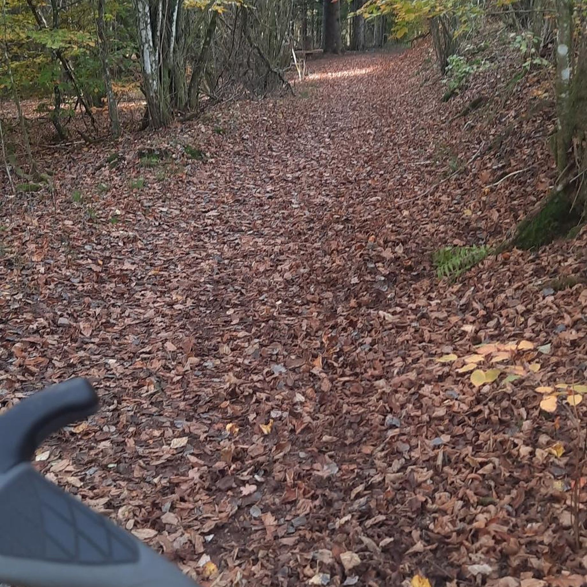
This forest was a former airfield before being destroyed in 1944.
1
0

Frequently Asked Questions
How many hiking trails are available around Vouarces?
There are 11 hiking trails in the Vouarces area, offering a range of options for different skill levels and preferences. These include 4 easy routes, 5 moderate routes, and 2 more challenging trails.
Are there any easy walks suitable for beginners in Vouarces?
Yes, Vouarces offers several easy walks perfect for beginners. One popular option is the Vouarces Countryside Loop, an easy 3.5-mile (5.6 km) trail that takes about 1 hour 30 minutes to complete, showcasing local farms and small forests.
What kind of terrain can I expect on hikes in Vouarces?
The terrain around Vouarces is characterized by rolling agricultural fields, interspersed woodlands, and gentle river valleys. You'll find a mix of open countryside and shaded paths, with generally modest elevations, making the area accessible for various hiking abilities.
Are there any circular walks in the Vouarces area?
Yes, many of the trails in Vouarces are designed as circular routes, allowing you to start and end at the same point. The Vouarces Countryside Loop is a prime example of a popular circular trail.
What do other hikers say about the trails in Vouarces?
The hiking routes in Vouarces are highly rated by the komoot community, with an average score of 5.0 stars from over 4 reviews. Hikers often praise the quiet woodlands and varied scenery, especially on routes like the Forest Edge Path.
Are the hiking trails in Vouarces suitable for families?
Yes, the modest elevations and varied lengths of trails make Vouarces suitable for families. Many easy and moderate routes, such as the Vouarces Countryside Loop, are ideal for walks with children, offering pleasant scenery without being overly strenuous.
What is the best season for hiking in Vouarces?
Vouarces offers enjoyable hiking throughout much of the year. Spring and autumn provide pleasant temperatures and beautiful scenery with blooming wildflowers or colorful foliage. Summer is also good, with shaded woodland paths offering respite from the sun. Winter hiking is possible, though some paths might be muddy.
Are there any trails that follow a river or valley?
Yes, the region features gentle river valleys. The Vouarces Valley Trail is a 6.2-mile (10.0 km) route that specifically leads through one of these valleys, offering picturesque views along the way.
What should I wear for hiking in Vouarces during autumn?
For autumn hiking in Vouarces, it's best to dress in layers. A waterproof and windproof outer shell is advisable, along with comfortable hiking boots suitable for potentially muddy paths. A warm mid-layer and breathable base layer will help you adapt to changing temperatures throughout the day.
Are there any moderate trails for a longer walk?
Certainly. If you're looking for a longer, moderate walk, the Forest Edge Path is a great choice. This 5.0-mile (8.0 km) route winds through mixed woodlands and along the edges of fields, providing varied scenery and a good workout.
Is parking available near the hiking trails in Vouarces?
While specific parking areas are not detailed for every trail, as a rural region, Vouarces typically offers roadside parking or small designated areas near trailheads in villages or at points of interest. It's always recommended to check local signage.

Get inspired with the komoot mobile app


Explore more
Browse the best Hikes in other regions.
