The best walks and hikes around Arbigny-Sous-Varennes
4.5
(51)
158
hikers
15
hikes
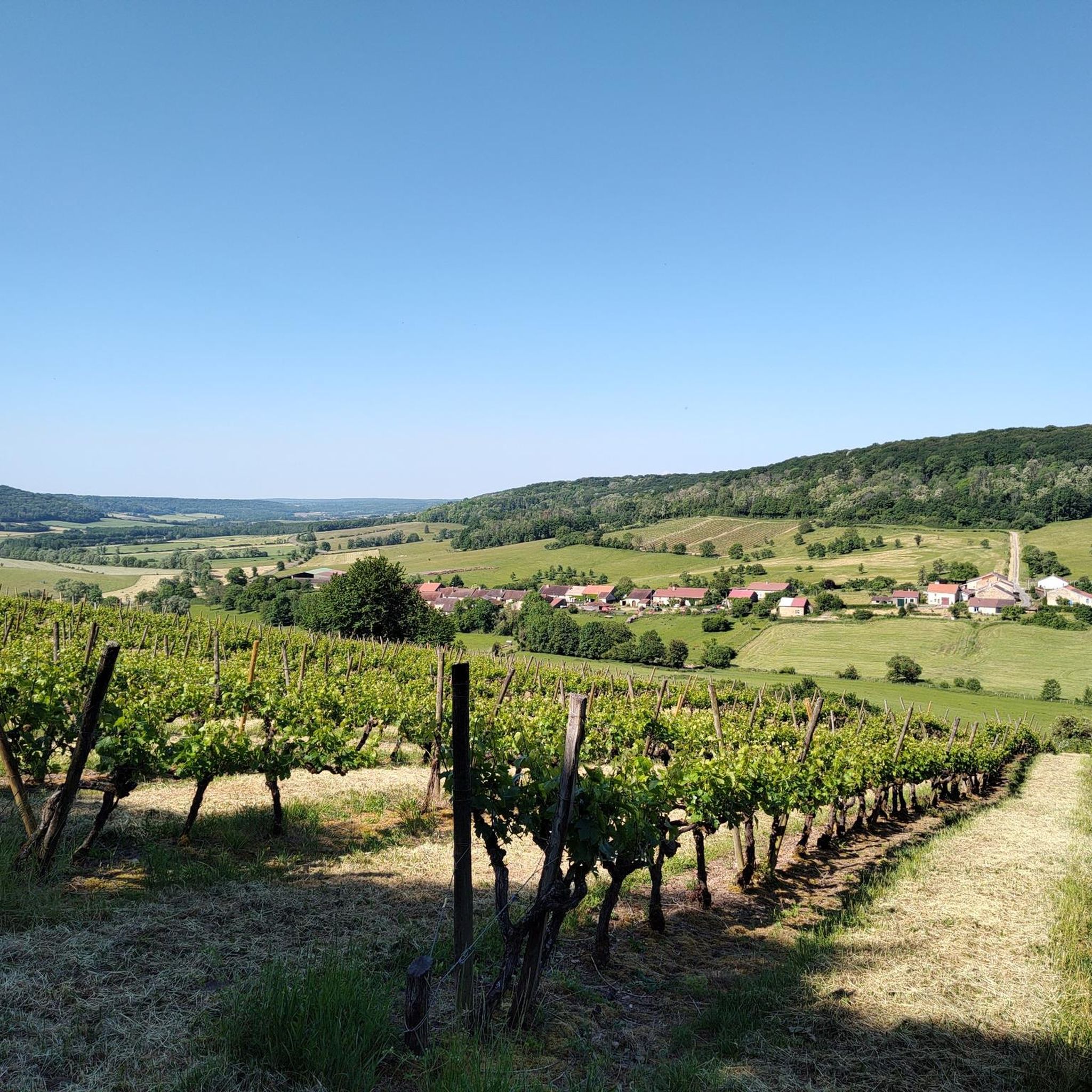
Hiking around Arbigny-Sous-Varennes offers a network of trails through a rural landscape characterized by gentle hills and open countryside. The region features a mix of agricultural land, small woodlands, and historical elements like chapels and towers. Elevation changes are generally moderate, making many routes accessible for various fitness levels. The terrain provides opportunities for exploring local villages and natural features such as small lakes.
Best hiking trails around Arbigny-Sous-Varennes
- The most popular hiking route is Circuit des Bétoires — loop from Guyonvelle, a 3.3 miles (5.3 km) trail that takes 1 hour 30 minutes to complete. This easy route explores the local landscape around Guyonvelle.
- Another top favourite among local hikers is Chapel loop from Vicq, a moderate 4.4 miles (7.1 km) path. This trail leads through varied terrain, including a chapel, and takes around 2 hours 6 minutes.
- Local hikers also love the Tiny Blue Trailer Campsite – Curious lamas loop from Arbigny-sous-Varennes, a 3.4 miles (5.4 km) trail leading through rural surroundings, often completed in about 1 hour 30 minutes.
- Hiking around Arbigny-Sous-Varennes is defined by rural paths, gentle hills, and small woodlands. The network offers options for different ability levels, from easy strolls to more challenging, longer routes.
- The routes in Arbigny-Sous-Varennes are highly rated by the komoot community with an average score of 4.6 stars from over 30 reviews. More than 80 hikers have used komoot to explore Arbigny-Sous-Varennes's varied terrain.
Last updated: October 22, 2026
4.5
(20)
37
hikers
5.29km
01:28
90m
90m
Easy hike. Easily walkable paths.
4.7
(7)
52
hikers
25.7km
07:05
410m
410m
Hard hike. Very good fitness required. Easily walkable paths.

4.8
(5)
16
hikers
7.12km
02:06
200m
200m
Moderate hike. Good fitness required. Easily walkable paths.
4.4
(8)
23
hikers
Easy hike. Easily walkable paths.
3.3
(3)
9
hikers
20.2km
05:42
410m
420m
Hard hike. Very good fitness required. Easily walkable paths.
Get access to more routes and recommendations from other explorers.
Already have an account?
Our route recommendations are based on thousands of hikes, rides, and runs completed by other people on komoot.
Start today with a free account
Your next adventure awaits.


Tips from the Community


This lake has more charm than altitude –
3
0

Small lake? Probably a large disco for the fish.
4
0


See there. No fishing. End.
4
0
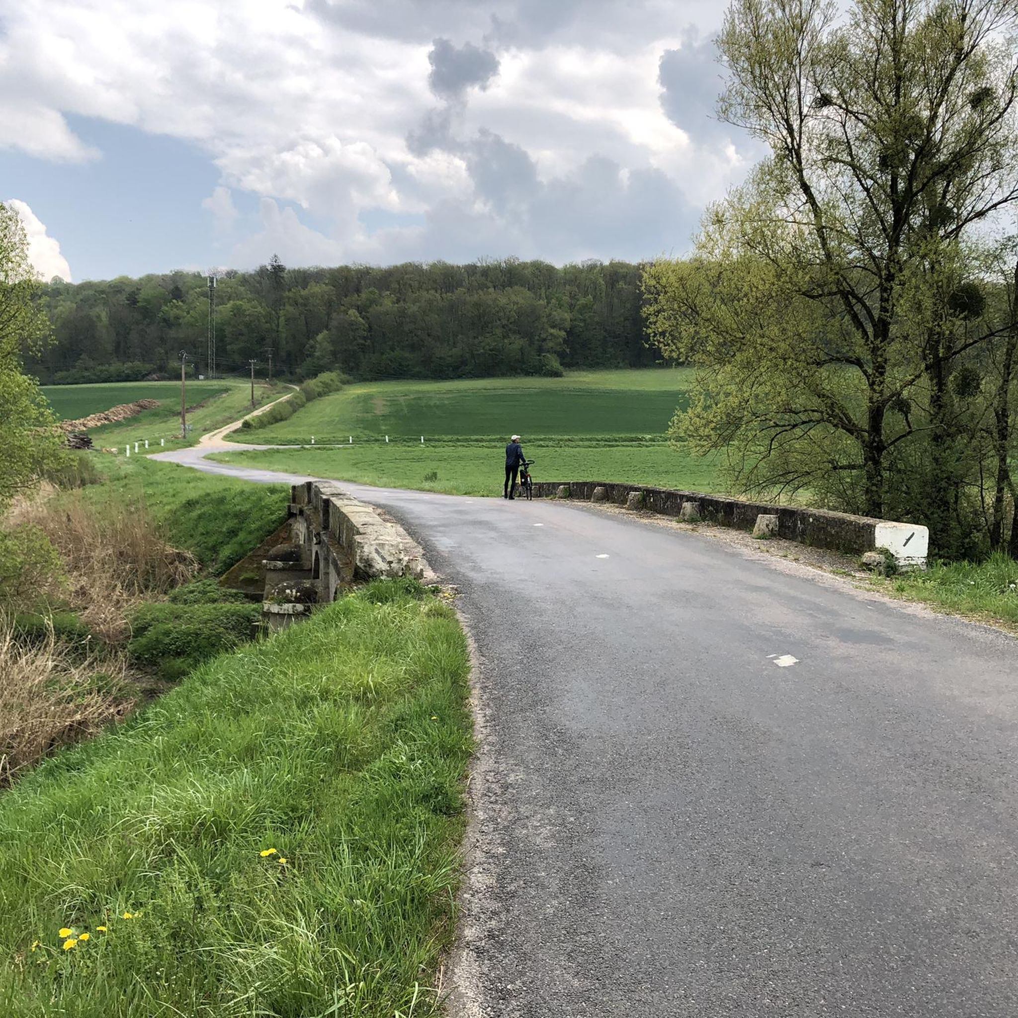
Nice route for a not too long, varied walk in the green.
0
0
Frequently Asked Questions
How many hiking trails are available around Arbigny-Sous-Varennes?
There are over 10 hiking trails around Arbigny-Sous-Varennes, offering a variety of options through the rural landscape of gentle hills and open countryside.
Are there easy hiking trails suitable for beginners or casual walkers?
Yes, Arbigny-Sous-Varennes offers several easy trails. For instance, the Circuit des Bétoires — loop from Guyonvelle is an easy 3.3-mile (5.3 km) route that explores the local landscape and takes about 1 hour 30 minutes.
What kind of terrain can I expect on hikes in this region?
The terrain around Arbigny-Sous-Varennes is characterized by rural paths, gentle hills, and small woodlands. You'll find a mix of agricultural land and open countryside, with moderate elevation changes, making many routes accessible.
Are there any challenging hikes for experienced trekkers?
Yes, for those seeking a longer challenge, the Tower loop from Coiffy-le-Bas is a difficult 15.4-mile (24.8 km) trail. Another demanding option is the Small lake – Tree house loop from Guyonvelle, covering 12.7 miles (20.4 km).
What are some interesting landmarks or sights to see along the trails?
Hikers can discover various points of interest. The Chapel loop from Vicq leads past a chapel. You might also encounter historical elements like towers, or natural features such as small lakes and sunflower fields. Specific highlights include the Notre-Dame de Presles Chapel and a unique Tree house.
Are there any circular hiking routes in Arbigny-Sous-Varennes?
Many routes in the area are designed as loops. For example, the Tiny Blue Trailer Campsite – Curious lamas loop from Arbigny-sous-Varennes is a 3.4-mile (5.4 km) circular trail that takes about 1 hour 30 minutes.
What do other hikers say about the trails in Arbigny-Sous-Varennes?
The trails in Arbigny-Sous-Varennes are highly rated by the komoot community, with an average score of 4.6 stars from over 30 reviews. Hikers often praise the peaceful rural surroundings and the variety of paths available.
Is Arbigny-Sous-Varennes a good destination for family-friendly hikes?
Yes, the region's gentle hills and moderate elevation changes make many routes suitable for families. Easy trails like the Circuit des Bétoires — loop from Guyonvelle are great options for a family outing.
When is the best time of year to go hiking in Arbigny-Sous-Varennes?
The best time to hike in Arbigny-Sous-Varennes is typically during spring, summer, and early autumn when the weather is mild and the agricultural landscapes are vibrant. The open countryside offers pleasant conditions for walking during these seasons.
Are there any specific trails that offer scenic viewpoints?
While the region is known for its gentle, rolling landscapes rather than dramatic vistas, many trails offer picturesque views of the agricultural land and small woodlands. Keep an eye out for highlights like the Sunflower field during the blooming season for particularly scenic moments.
Are dogs allowed on the hiking trails in Arbigny-Sous-Varennes?
Generally, dogs are welcome on trails in rural areas like Arbigny-Sous-Varennes, especially on public footpaths. However, it's always advisable to keep dogs on a leash, particularly when passing through agricultural land or near livestock, and to respect local signage.
Most popular routes around Arbigny-Sous-Varennes
Most popular attractions around Arbigny-Sous-Varennes

Get inspired with the komoot mobile app


Explore more
Browse the best Hikes in other regions.
