Top 20 Natural Monuments around the Steldt
Natural monuments around the Steldt are shaped by the Schelde river and its estuary, featuring a diverse landscape influenced by tidal effects. This region encompasses mudflats, salt marshes, wetlands, and forests, providing habitats for various flora and fauna. The area offers a unique interplay of water and land, making it a significant natural reserve. Visitors can explore a range of natural and cultural heritage sites within this dynamic environment.
Best natural monuments around the Steldt
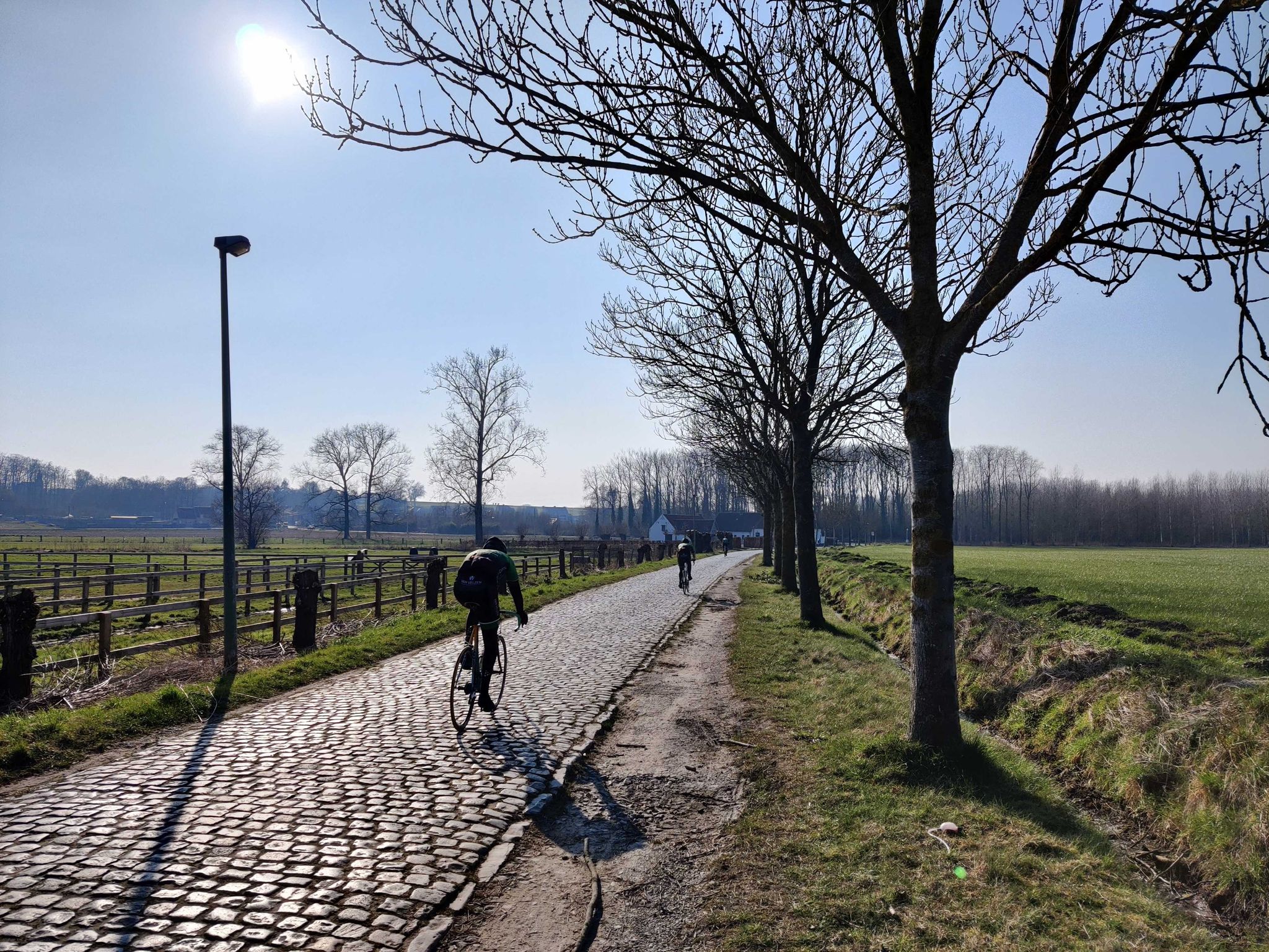
- The most popular natural monuments is Koppenberg, a climb that is recognized as a national monument. It is known for its challenging gradient on cobblestones and the beauty of its landscape.
- Another must-see spot is Meandering Old Scheldt, a restored old Scheldt meander. This area is ideal for bird watching and serves as a resting point for wildlife, with a lookout tower providing views of the nature reserve.
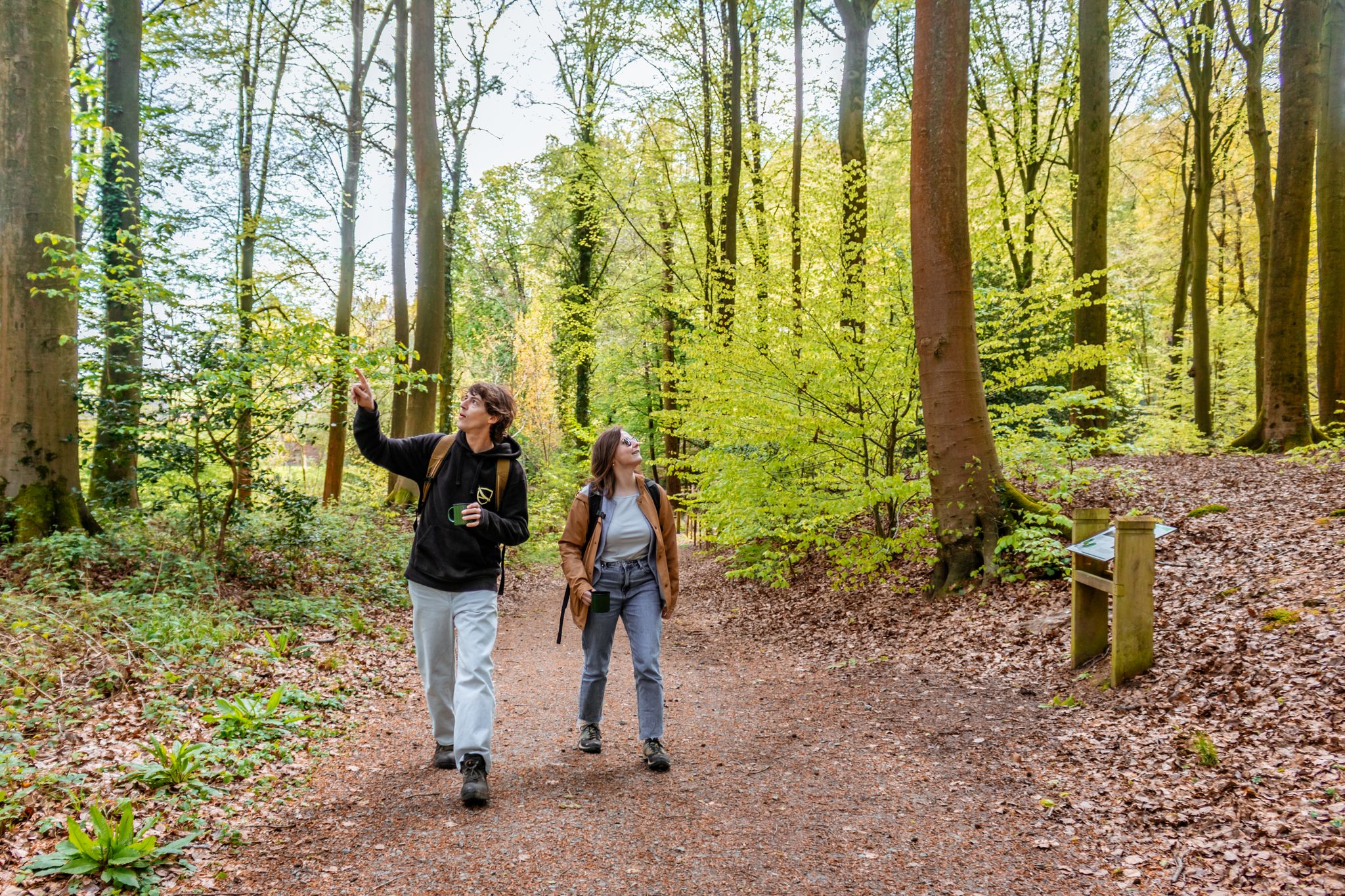
- Visitors also love Hospiesbos, a forest mainly known for its hyacinths in spring and mushrooms in autumn. It offers walking paths with natural play elements and water features.
- Schelde is known for its rivers, forests, and wetlands. The region offers a variety of natural monuments to see and explore, from tidal areas to historical river courses.
- The natural monuments around the Steldt are appreciated by the komoot community. The area features more than 60 highlights, with over 50 photos and more than 500 upvotes from visitors.
Last updated: July 10, 2026
Koppenberg
Highlight • Climb
Translated by Google •
Tip by

Meandering Old Scheldt
Highlight • River
Translated by Google •
Tip by

Sign up now to discover places like this
Get recommendations on the best single tracks, peaks, & plenty of other exciting outdoor places.
Sign up for free
Natuurpunt viewing platform at Blokstraat and the Oude Schelde
Highlight • Viewpoint
(Scheldt Valley National Park)
Translated by Google •
Tip by

Paardeweide Wetlands
Highlight • Natural
source: nature and forest
Translated by Google •
Tip by

Hospiesbos
Highlight • Forest
Spring and autumn are the ideal periods for a beautiful walk in the woods. And although the Hospiesbos is not suitable for long wanderings, it is a gem that we have to take care of.
In the spring there is the exuberant splendor of the spring bloomers, and in the autumn many special fungi and mushrooms show off! Some mushroom experts take you into the forest in search of these unusual life forms, which appear as quickly as they disappear again.
Source: wegvanwetteren.be/hospiesbos
Translated by Google •
Tip by

Benedenvliet - Schelle
Highlight • River
Translated by Google •
Tip by

Peace Monument
Highlight • Monument
This project was opened on Architecture Day 2013.
Translated by Google •
Tip by
Nature Reserve De Putten
Highlight • Natural
The history of its origins has an industrial past, as the area was used for expanding land. This means that the clay layer was excavated for the production of bricks.
This so-called 'Scheldt stone' was fired on site in small field ovens. Due to the high groundwater level, a swampy area quickly developed on these exhausted areas, where at most Canada poplars could survive. These were therefore planted en masse for the cuttings factories in Geraardsbergen, but that too has now become industrial archaeology.
The first purchases were made in 1993 and the nature reserve has now grown into a mosaic of 16 hectares of moist meadows, lakes, swamps and swamp forests. A few plots of the old poplar forests remain for the Oriole and the Lesser Spotted Woodpecker, two uncommon bird species that like to feed in those trees.
'De Putten' is part of the nature reserve 'De Scheldemeersen', where Natuurpunt already manages or owns 120 hectares. De Scheldemeersen is located in Merelbeke and De Pinte (covering an area of 600 hectares).
The area can be viewed along the Trekweg (Scheldedijk) and the Meersstraat. One or more guided walks are organized every year.
Source: Natuurpunt
Translated by Google •
Tip by
Hingenewiel
Highlight • Lake
Translated by Google •
Tip by
The Liefkes Tree
Highlight • Natural Monument
Translated by Google •
Tip by

Sign up for free to discover even more natural monuments around the Steldt.
Sign up for free
Already have an account?
Start today with a free account
Your next adventure awaits.
Login or Signup
Popular around Schelde
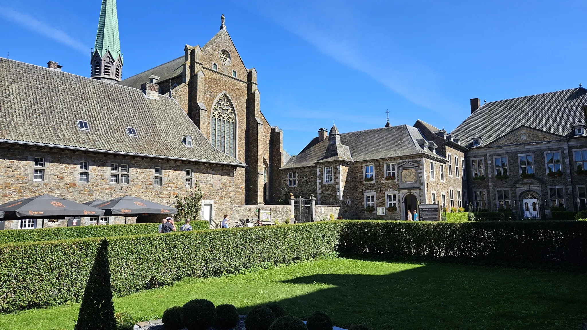
Trappist abbeys cycle route – Between beers and heritage
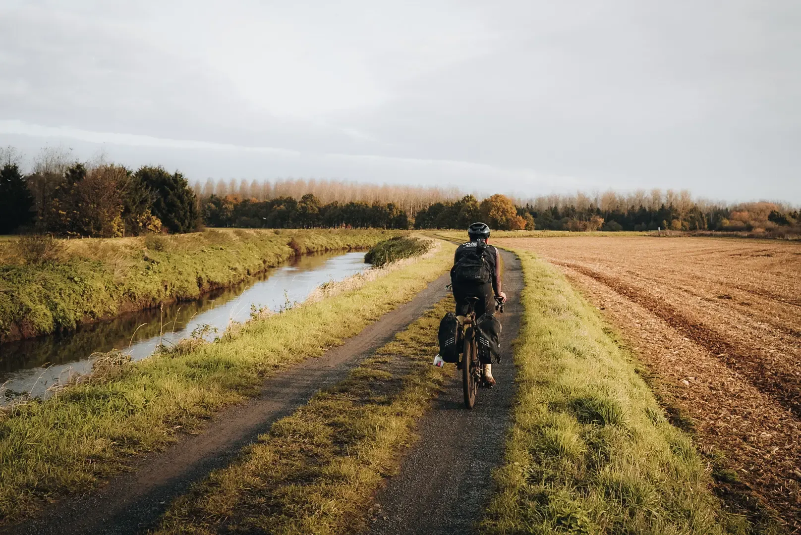
Flanders Divide - Across Flanders
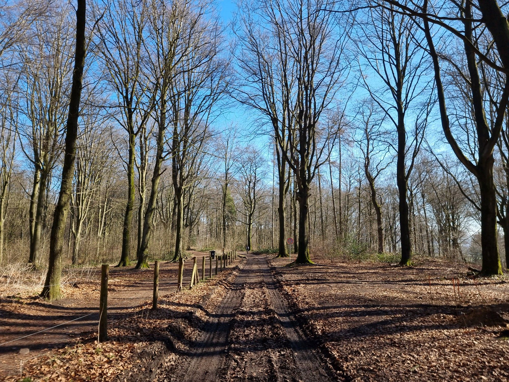
Grande Randonnée GRavel — Western Hainaut
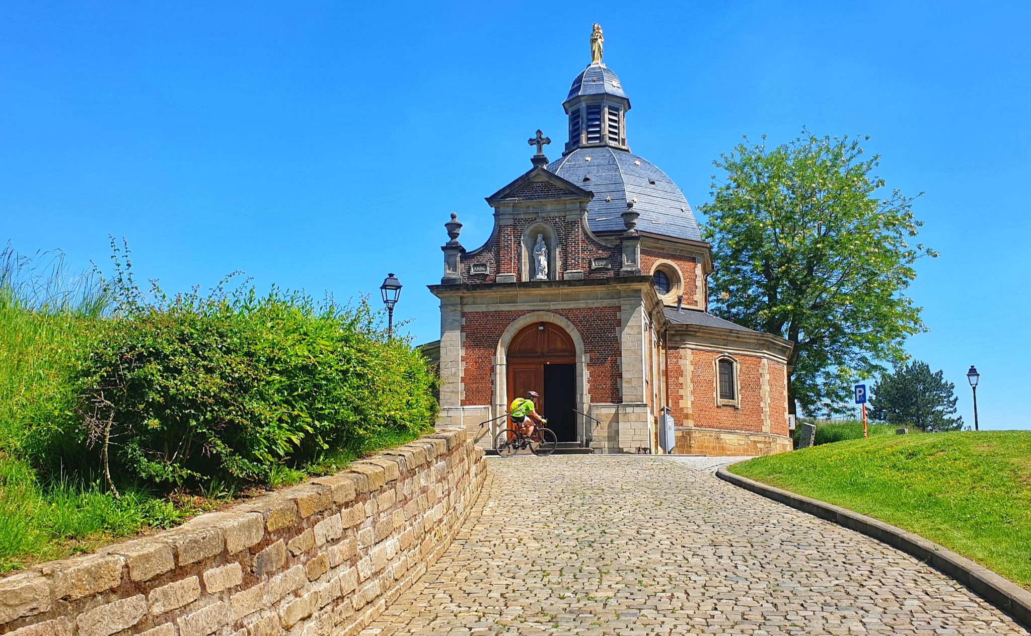
Through the heart of Flanders on a road bike in 2 days – Spartacus Route
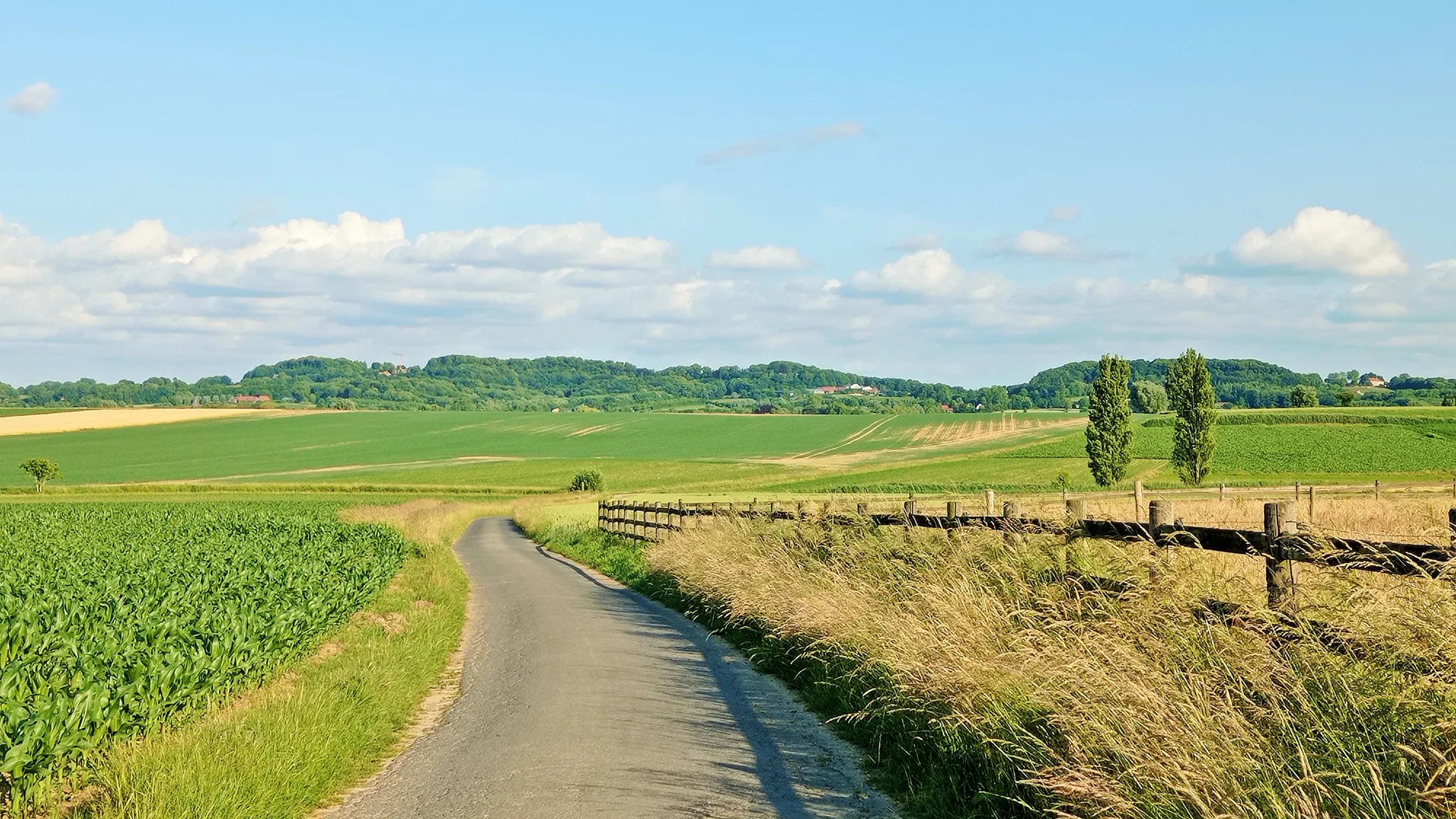
Seven-day Cycling tour through the South-Flemish hills – Hilly Route
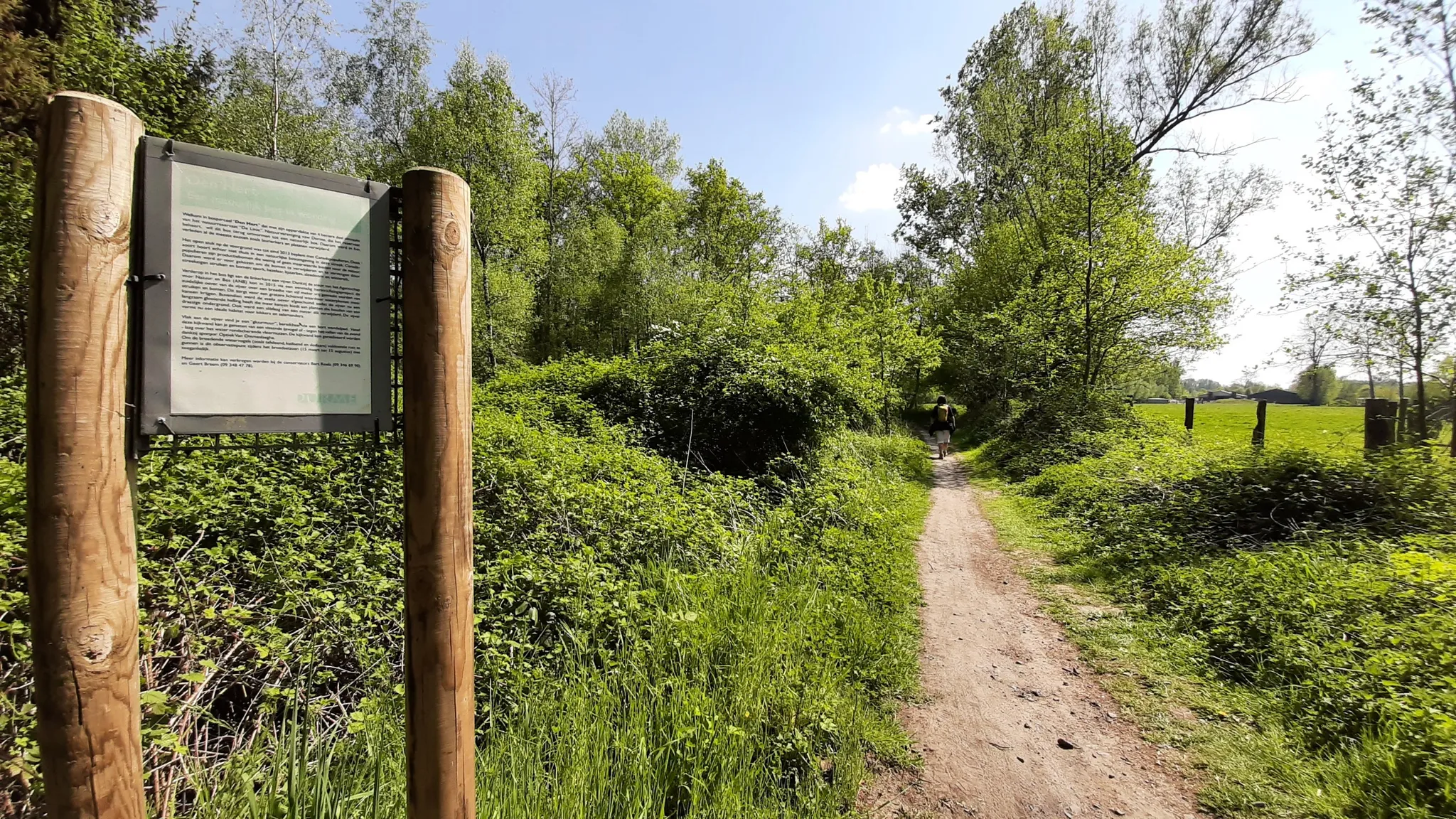
In the footsteps of den vos Reynaerde – Streek-GR Waas- en Reynaertland
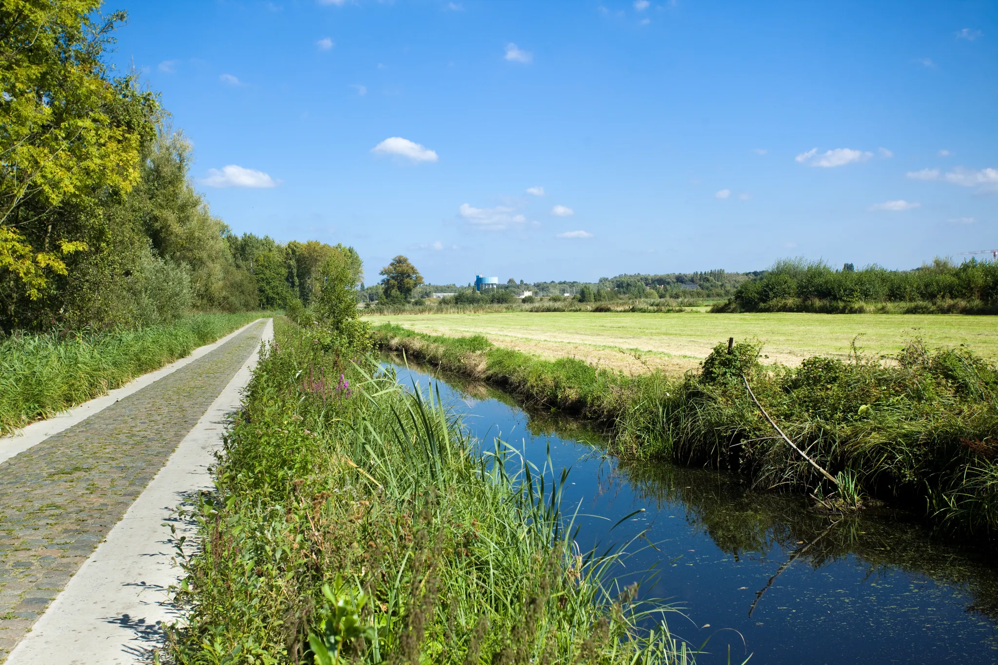
Two days Cycling in the border region – Between de Schelde and Zeeland
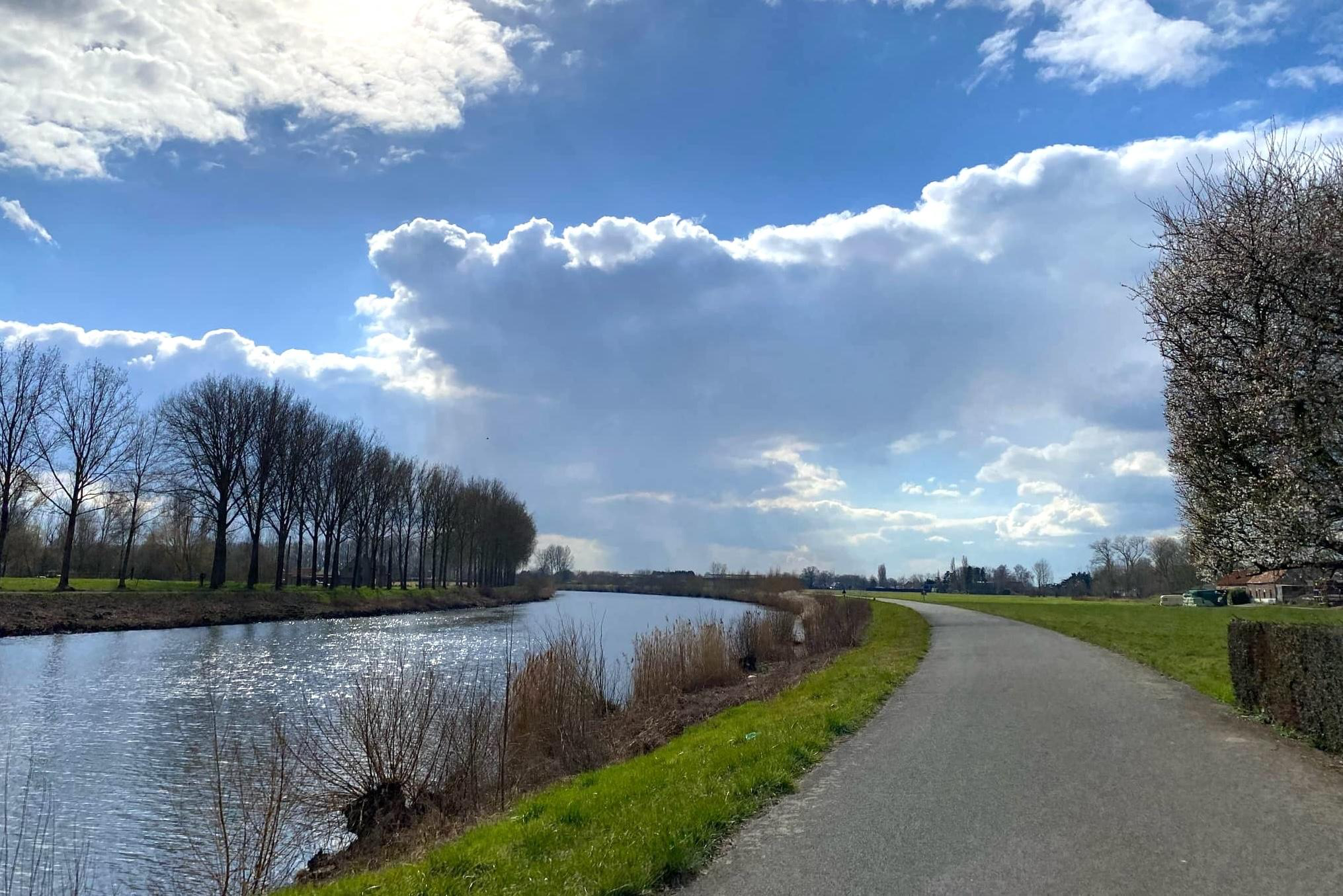
Three days of pure cycling pleasure from Spiere to Zandvliet – Schelderoute
Become a Flandrien – take on climbs in the Flemish Ardennes
From station to station through nature – station hoppers in East Flanders
Other adventures around the Steldt


Tips from the Community

Kijktoren Schellebelle; a viewing platform at the intersection of Tragelweg and Blokstraat offers you a unique view of the Kalkense Meersen. At this point, the Tragelpad with the old Scheldearm meets the Blokstraat, forming the nerve center of the recreational routes.
0
0


The viewing platform, strategically located at the intersection of the four municipalities that form the Kalkense Meersen, not only offers stunning views of the green landscape and the old Scheldt arm, but also allows visitors to observe the landscape's evolution over the years. According to Michaël Crapoen of Natuurpunt Scheldeland, the platform is a real asset because it offers the opportunity to experience nature from a different perspective. In addition, numerous recreational cycling and walking routes converge here. (Scheldt Valley National Park)
12
1
The wheel is privately owned, but you walk right past it (on the Victor De Witstraat). No one knows for sure how the Hingenewiel was formed. We know that the Spierenbroek flooded around 1552. After failed attempts to close the Spierenbroekgat, the other polders flooded in November 1554, because the pladderdijk broke. We suspect that this is how the Hingenewiel was formed. A pladderdijk is a cross dike that runs from the stream through the polder (so not along the river). This large wheel was originally even larger, probably the Ketelwiel used to be part of this wheel. In the middle of this wheel was an island with a tower on it. The Hingenewiel became smaller due to natural silting up. Kingfisher, grebe, coot, moorhen, gadwall and shelduck breed here, among other things. But you can also admire fire damselfly, ostrich fern and yellow water lily here. (Regional Landscape Schelde-Durme)
11
0

Nice addition to the area, but actually a bit too low to view the entire area
4
0

Text on the photo: We with all our freedom Often get lost Also pass by Destructive choices We with so much freedom Digging holes in the earth Comets approaching at lightning speed
5
0
New viewing platform nature point is a tribute to Groene Lieve: “A monument in the nature conservation of the Kalkense Meersen” The platform that looks out 6.5 meters high above the Nature Reserve is also in a symbolic place. “As a young kid I still remember well that Lieve’s red and small Fiat was always parked at this place on the Blokstraat while she was clearing litter, handing out leaflets to hikers and reprimanding farmers. Always busy for nature”, says Peter Claus. The platform is located at a nerve point in the Kalkense Meersen close to the new Roerdompbrug and offers hikers a unique view of the Oude Schelde. That arm was dug out again a few years ago. Since then beavers have been living there again and from the platform you can spot deer and other animals and birds. “It offers a view of the past and the future of our National Park.”
5
0

Frequently Asked Questions
What are some unique natural features to explore around the Schelde?
The Schelde region is characterized by its dynamic tidal influence, creating diverse landscapes. You can explore vast mudflats and salt marshes in the Benedenvliet - Schelle area, extensive wetlands and floodplains within the Scheldevallei National Park, and tranquil meanders like the Meandering Old Scheldt. Other notable features include floral meadows and lily ponds in Kalkense Meersen, and the unique marsh forests of the Old Scheldt near Bornem.
Where can I go for bird watching in the Schelde region?
The Schelde region is a haven for birdwatchers. The Meandering Old Scheldt is ideal for bird watching, featuring a lookout tower. The Scheldevallei National Park is known for species like marsh harriers, kingfishers, and great egrets. Mudflat and salt marsh areas such as Galgeschoor and Groot Buitenschoor host over 150,000 waterfowl during migratory and winter periods, with a bird-watching hut available at Groot Buitenschoor. The Benedenvliet - Schelle also serves as a perfect breeding area for many water birds.
Are there any natural monuments with historical significance?
Yes, several natural monuments in the Schelde region have historical ties. The Koppenberg, a challenging climb on cobblestones, is recognized as a national monument due to its role in the Tour of Flanders cycling classic. The Benedenvliet - Schelle area was historically an important watercourse with busy port activity and remnants of a 1577 fort. Additionally, the Brabant Escarpment marks a historical boundary with layers of sand and clay deposited by ancient rivers.
What kind of hiking trails can I find near the natural monuments?
The Schelde region offers a variety of hiking trails. You can find moderate trails like the Rupelmond Creek and Barbier Brook hiking trails within the Scheldt Valley National Park. For easier options, consider the Doornhammeke Route or the Grand Large Loop. Many natural monuments, such as Hospiesbos, offer pleasant walking paths. For more hiking options, explore the hiking guide for the Steldt.
Are there opportunities for cycling near the natural monuments?
Yes, cycling is a popular activity. The Koppenberg is famous among cyclists for its challenging gradient. The Scheldevallei National Park offers an extensive network of cycling trails. You can also find gravel biking routes, such as the Gentbrugse Meersen and Schelderoute Loop, which allow you to explore the natural beauty. For more cycling routes, check out the gravel biking guide for the Steldt.
What other outdoor activities are available in the Schelde region?
Beyond hiking and cycling, the Schelde region offers diverse outdoor activities. The Scheldevallei National Park provides opportunities for canoeing and kayaking. The island of Noord-Beveland, home to the Bokkegat Nature Reserve, is known for water sports along Veerse Meer, the Eastern Scheldt, and the North Sea beach. Many areas, like the Benedenvliet - Schelle, are also excellent for birdwatching.
Are there family-friendly natural monuments suitable for children?
Absolutely. Several natural monuments are great for families. Hospiesbos features walking paths with natural play elements and water features. The Meandering Old Scheldt and Paardeweide Wetlands are also categorized as family-friendly, offering accessible natural experiences. The Natuurpunt viewing platform at Blokstraat and the Oude Schelde provides stunning views that can be enjoyed by all ages.
When is the best time of year to visit the natural monuments around the Schelde?
The best time to visit depends on your interests. Spring is ideal for seeing the exuberant splendor of spring bloomers, such as the hyacinths in Hospiesbos. Autumn is perfect for mushroom spotting in the same forest. For birdwatching, migratory and winter periods are excellent, especially in areas like Galgeschoor and Groot Buitenschoor, when waterfowl numbers are highest. Generally, spring and autumn offer pleasant temperatures for hiking and cycling.
What geological features define the natural monuments in the Schelde region?
The Schelde region's geology is largely shaped by the Schelde river and its estuary. Key features include vast mudflats and salt marshes, which are dynamic environments regularly submerged by tides. The Brabant Escarpment is a significant geological feature, marking a historical boundary where ancient rivers deposited layers of sand and clay, resulting in a gently undulating landscape. Remnants of former tidal channels, like the Bokkegat and the Zwaakse Weel, also showcase the region's unique geological past.
What do visitors particularly enjoy about the natural monuments around the Schelde?
Visitors appreciate the unique interplay of water and land, the stunning natural beauty, and the rich biodiversity. The challenging gradient and historical significance of the Koppenberg are highly rated by cyclists. Birdwatchers love the abundant wildlife, especially at spots like the Meandering Old Scheldt. The peaceful walking paths and natural play elements in places like Hospiesbos are cherished by families. The region's tranquil atmosphere and opportunities for diverse outdoor activities are also frequently highlighted.
Can I bring my dog to the natural monuments around the Schelde?
While many natural areas in the Schelde region are dog-friendly, it's always best to check specific regulations for each natural monument or reserve. Generally, dogs are welcome on leashes on designated trails. For example, the Scheldevallei National Park has extensive walking trails where dogs are often permitted. Always ensure to clean up after your pet to preserve the natural environment.
Are there natural monuments that are wheelchair accessible?
Accessibility varies across the natural monuments. While many trails might be unpaved or have uneven terrain, some areas offer better accessibility. For instance, viewing platforms like the Natuurpunt viewing platform at Blokstraat and the Oude Schelde are often designed to be accessible, providing views of the landscape. It is recommended to check specific site information for detailed accessibility features before visiting.
Most popular routes around the Steldt
Most popular attractions around the Steldt

Get inspired with the komoot mobile app


Explore more
Extend your search for the best caves by checking out these guides of the top ones around the Steldt:
