The best walks and hikes around Faux-Fresnay
4.8
(4)
29
hikers
4
hikes
Hiking around Faux-Fresnay offers routes primarily through forested areas and along river valleys. The terrain is generally flat, with minimal elevation changes, making it accessible for various activity levels. The region is characterized by its natural landscapes, including the Forêt Domaniale de la Perthe and paths alongside the Aube river.
Best hiking trails around Faux-Fresnay
- The most popular hiking route is Circuit Forêt Domaniale de la Perthe, a 7.6 miles (12.2 km) trail that takes 3 hours 8 minutes…
Last updated: July 18, 2026
3
hikers
12.2km
03:07
50m
50m
Moderate hike. Good fitness required. Easily-accessible paths. Suitable for all skill levels.
5
hikers
9.83km
02:30
0m
10m
Moderate hike. Good fitness required. Easily-accessible paths. Suitable for all skill levels.

Sign up for free
5.0
(1)
5
hikers
10.6km
02:40
20m
20m
Moderate hike. Good fitness required. Easily-accessible paths. Suitable for all skill levels.
5.0
(1)
5
hikers
8.75km
02:13
20m
20m
Moderate hike. Good fitness required. Easily-accessible paths. Suitable for all skill levels.
5.0
(1)
1
hikers
6.94km
01:49
40m
40m
Easy hike. Great for any fitness level. Easily-accessible paths. Suitable for all skill levels.
Our route recommendations are based on thousands of hikes, rides, and runs completed by other people on komoot.
Start today with a free account
Your next adventure awaits.
Login or Signup
Popular around Faux-Fresnay


Tips from the Community

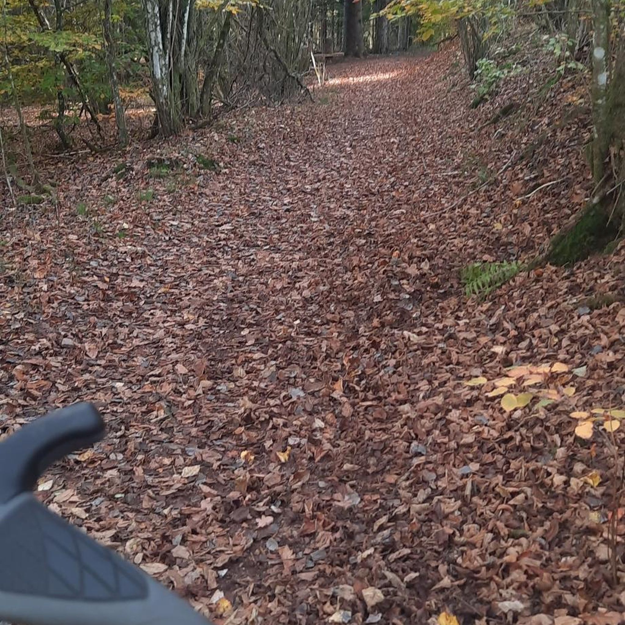
This forest was a former airfield before being destroyed in 1944.
1
0

Frequently Asked Questions
How many hiking trails are available around Faux-Fresnay?
Currently, there are 3 hiking trails listed around Faux-Fresnay on komoot. These routes offer a good starting point for exploring the local landscape.
What is the general difficulty level of hikes in Faux-Fresnay?
All the currently listed hiking routes around Faux-Fresnay are rated as moderate. This means they are suitable for hikers with a reasonable level of fitness and some experience, but generally do not involve extreme technical challenges or significant elevation gains.
Are there any circular walks available in Faux-Fresnay?
Yes, all the listed routes around Faux-Fresnay are circular walks. For example, you can explore the Circuit Forêt Domaniale de la Perthe or the Langs de Aube loop from Anglure, both designed to bring you back to your starting point.
What are the typical distances and durations for hikes in this area?
The hikes around Faux-Fresnay typically range from approximately 8.6 kilometers to 12.2 kilometers in length. You can expect these walks to take between 2 hours and 11 minutes to 3 hours and 8 minutes to complete, depending on your pace.
What kind of terrain can I expect on the Faux-Fresnay trails?
The trails around Faux-Fresnay generally feature relatively flat terrain with minimal elevation changes. For instance, the Circuit Forêt Domaniale de la Perthe has an elevation gain of only about 52 meters, indicating a gentle walking experience.
Are there any specific natural features or points of interest along the trails?
While specific natural features are not detailed for every route, some trails like the La Barbuise – Barrage du Bâtard loop from Rhèges and the Barrage du Bâtard loop from Viâpres-le-Petit indicate proximity to the Barrage du Bâtard, suggesting potential water features or views related to the dam.
What do other hikers say about the trails in Faux-Fresnay?
The hiking routes around Faux-Fresnay are highly regarded by the komoot community, with an average rating of 4.75 out of 5 stars. Hikers often appreciate the peaceful nature of the trails and the opportunity for a moderate outdoor experience.
Are the trails suitable for families with children?
Given that all listed routes are of moderate difficulty and feature relatively gentle terrain and distances, many could be suitable for active families. However, it's always recommended to check the specific route details, such as the Langs de Aube loop from Anglure (9.8 km), to ensure it matches your family's endurance and interest.
Can I bring my dog on the hiking trails in Faux-Fresnay?
While specific dog-friendly policies are not detailed for every route, generally, moderate trails with open paths like those found in Faux-Fresnay are suitable for dogs on a leash. Always ensure your dog is under control and check for any local signage regarding pet restrictions, especially near nature reserves or agricultural areas.
What is the best time of year to hike in Faux-Fresnay?
As the trails are generally moderate with low elevation, they are likely enjoyable across multiple seasons. Spring and autumn typically offer pleasant temperatures and beautiful scenery, while summer can be good for early morning or late afternoon hikes. Winter hiking might be possible, but always check local weather conditions.
Are there any longer or more challenging hikes available?
Currently, all listed routes are rated as moderate, with the longest being the Circuit Forêt Domaniale de la Perthe at approximately 12.2 kilometers. There are no routes specifically categorized as difficult or advanced in the immediate Faux-Fresnay area at this time.
Most popular routes around Faux-Fresnay

Get inspired with the komoot mobile app


Explore more
Browse the best Hikes in other regions.
