The best mountain hikes around Ochtendung
4.5
(3)
16
hikers
1
hike
Mountaineering around Ochtendung, located in Germany's Mayen-Koblenz district, offers routes through a compelling natural landscape shaped by its volcanic origins. The region features extinct volcanoes and unique geological formations, providing varied terrain for ascents. Situated between the Rhine and Moselle rivers and within the Eifel Mountains, Ochtendung presents a mix of river valleys, forested areas, and accessible hills that offer panoramic views. The landscape includes challenging ascents and diverse natural features.
Best mountaineering routes around Ochtendung
- The most popular mountaineering…
Last updated: July 6, 2026
5.0
(2)
10
hikers
8.68km
02:20
100m
100m
Moderate mountaineering route. Good fitness required. Easily-accessible paths. Suitable for all skill levels.
4.0
(1)
6
hikers
Moderate mountaineering route. Good fitness required. Mostly accessible paths. Sure-footedness required.
Our route recommendations are based on thousands of hikes, rides, and runs completed by other people on komoot.
Start today with a free account
Your next adventure awaits.
Login or Signup
Popular around Ochtendung

Dream Trails in the Rhine-Mosel-Eifel Region – Small Trails, Great Nature
Moselsteig Partner Trails – nature, culture and views
Hiking around Ochtendung
Cycling around Ochtendung
MTB Trails around Ochtendung
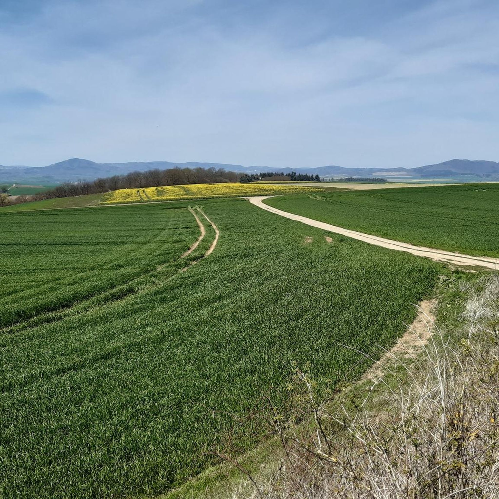
Road Cycling Routes around Ochtendung
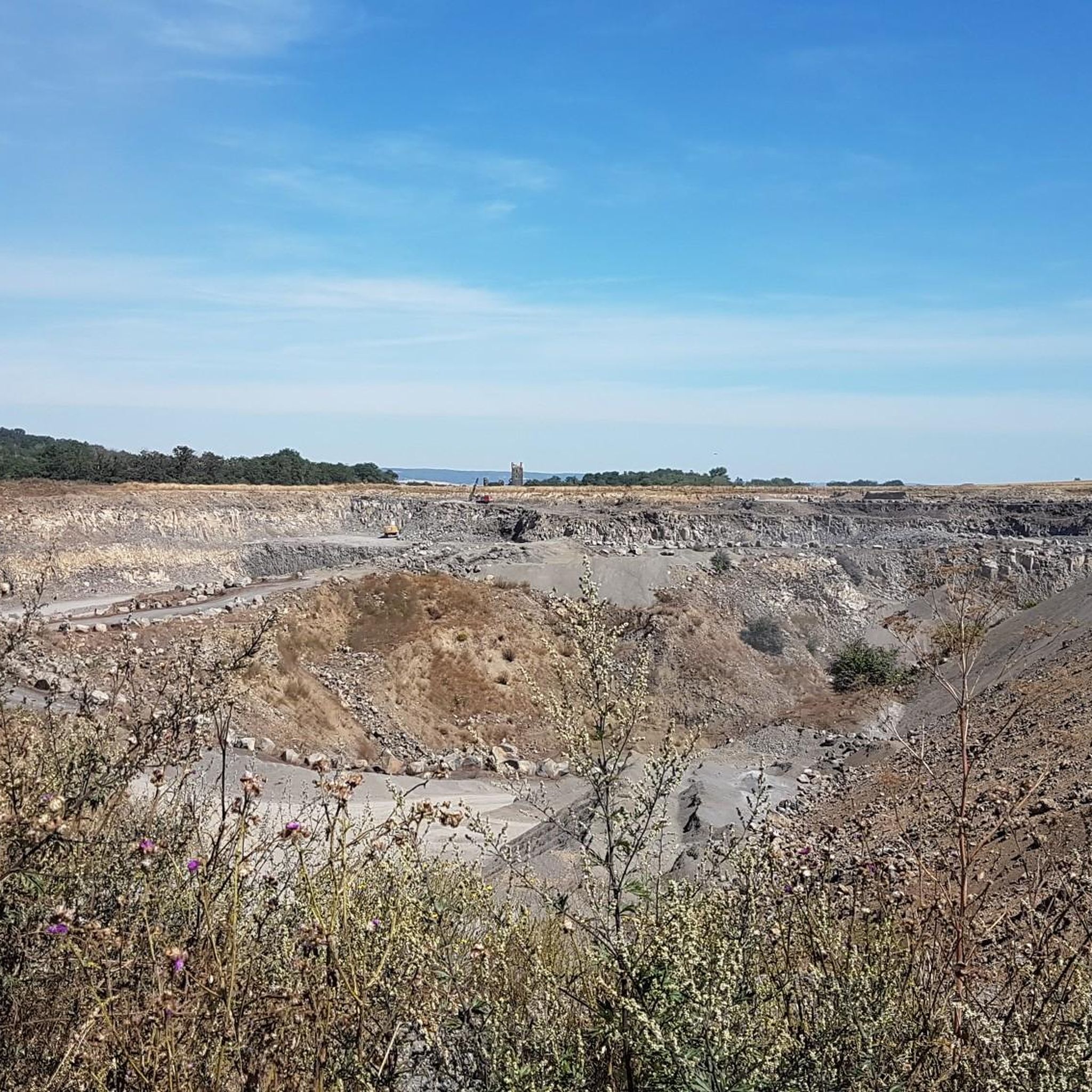
Running Trails around Ochtendung
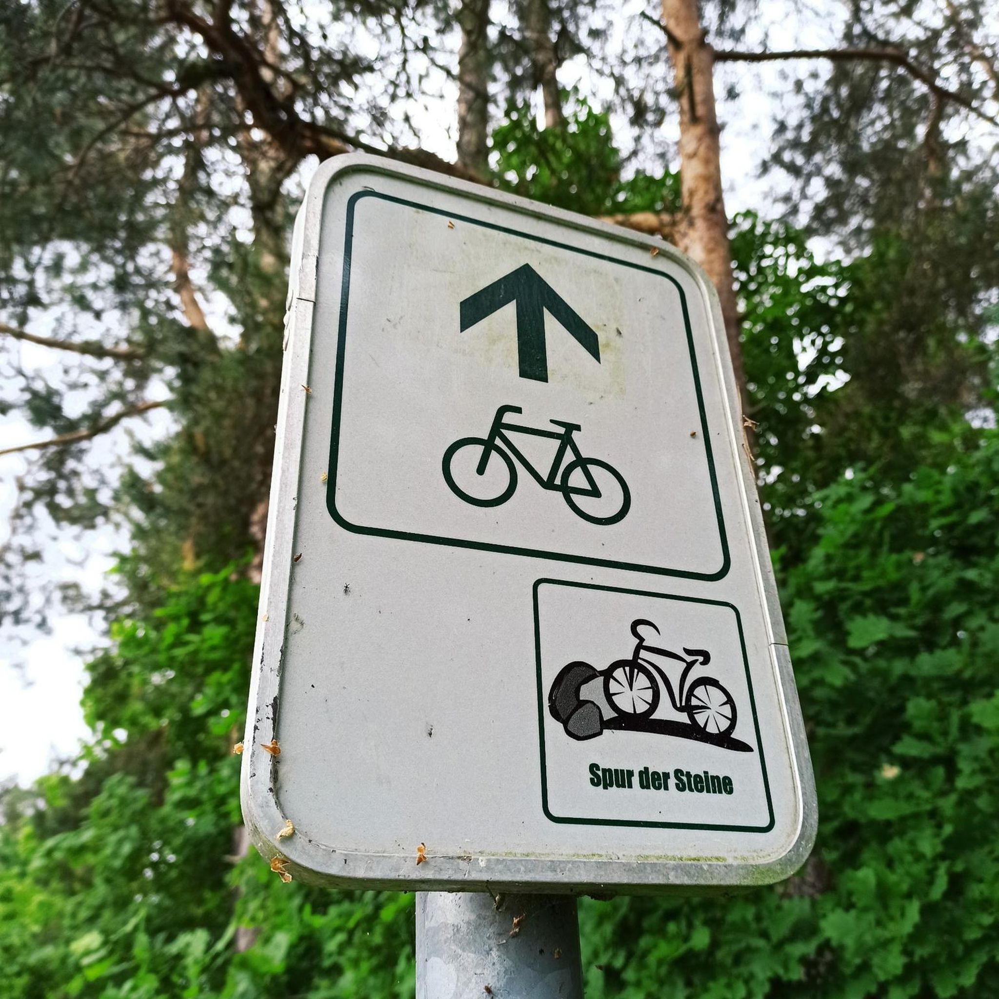
Gravel biking around Ochtendung


Tips from the Community

From the campsite north of the lake and along the eastern shore, there's a forest path around the lake. The path is unpaved and, in places, very dusty. This path is shared with pedestrians, so it can be busy on nice weekends, so please be considerate of others.
8
0

On January 20, 1820, Daniel Heinrich Delius, the President of the Trier government, acquired the monastery estate of Laach Abbey. Between 1840 and 1845, his descendants, the Delius and von Ammon families, as owners of the monastery estate and the lake, had a new Delius tunnel built approximately 5 meters lower and approximately 1,070 meters long, with the older Fulbert tunnel partially filled with the new excavated material. This reduced the lake's surface area by approximately 48 hectares, and the agriculturally usable area was significantly increased. Source: Display board
11
1
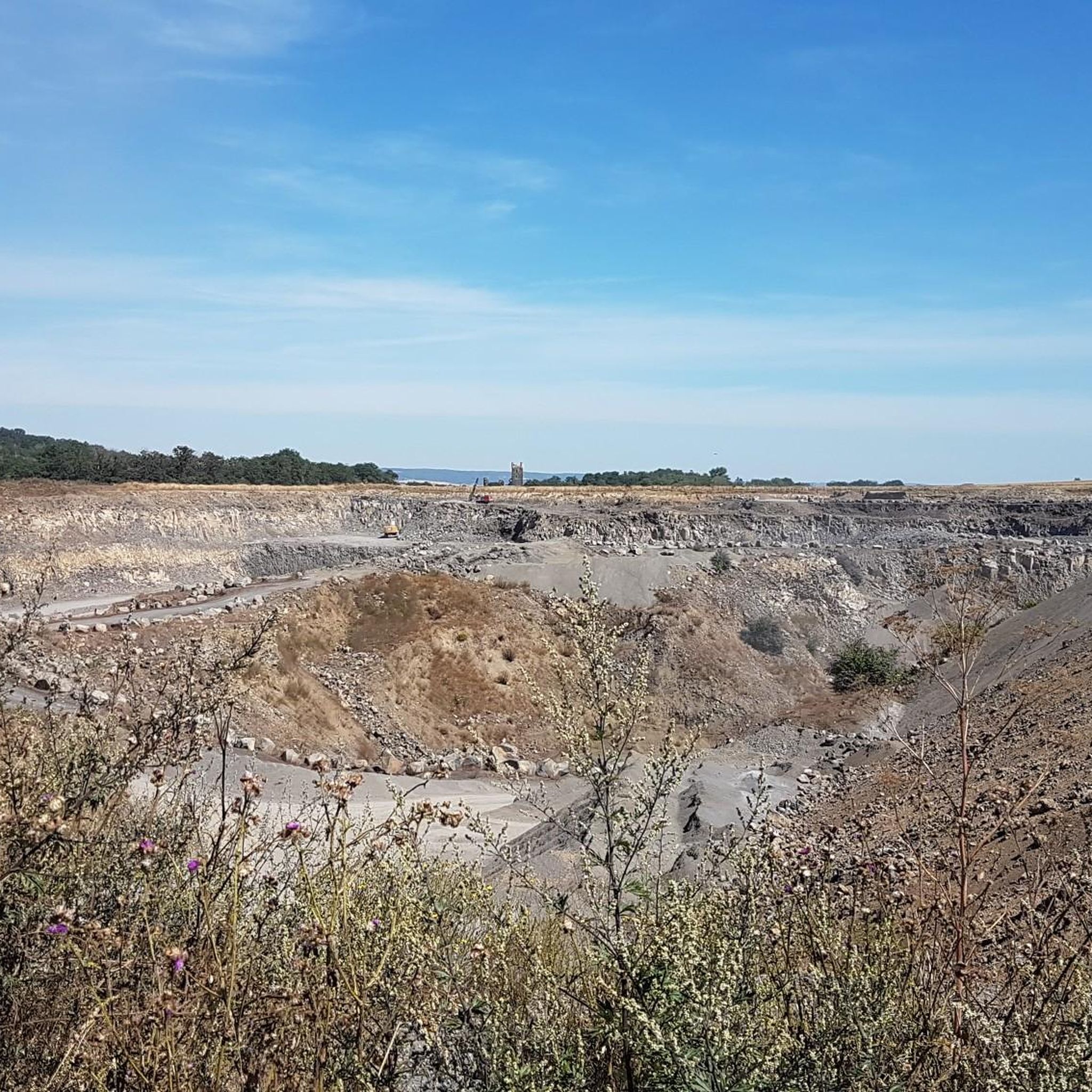
Even though only the upper part of the quarry is visible, it is still a beautiful geological outcrop.
8
0

Beautiful houses
8
1

🎨💚Wonderful panorama over the Moselle valley/Moseltal bridge/Kobern-Gondorf. Surrounded by vineyards💚 A great photo location with the Niederburg ruins🏰📷👌🏼. A changing picture at any time of day/year 🍃🍂🍇👌🏼. 🥾🥾The Tatzelwurmweg led us here 🥾🥾🎒
1
0
The Laacher See area is of volcanic origin🌋. The oval Laacher See 🌊 is the largest lake in Rhineland-Palatinate with around 3.3 km² and a water depth of more than 50 m. The Laacher See and the surrounding lands are owned by the Maria Laach Abbey⛪️. From a scientific point of view, however, the Laacher See is not a maar or a real crater lake, but a water-filled caldera - a crater that was created by a collapse after the magma chamber below the volcanic cone was emptied. Small bubbles rise up in the water - these so-called mofettes are rising carbon dioxide and illustrate the volcanic history of the lake🌋.
4
0

Coming from Kobern-Gondorf, you first pass a large quarry on your left, then at the transition from asphalt to composite paving, there is a bench on the left and a lounger on the right. A few meters further on, a railing in the shape of a Tatzelwurm separates the road from the narrow stream bed and the rock wall rising up behind it. A small opening has been cut into it, with a deeper hole in the middle. There are already a few stones lying here that were thrown across the stream. You have three attempts to land a stone that stays there and promises good luck.
3
0
What is difficult at the moment (7/24) is that the narrow paths are heavily overgrown and therefore barely recognizable. Stickers and the stylized Tatzelwürmer are covered by the leaves of the vines, and blackberry tendrils, burrs and thistles spoil the passage. But if you find the signposts, the path is a lot of fun! Two ladders, two narrow vineyard wall steps, a steep slate chippings passage and several "stairs" where the wooden steps are rotten and only the fixing irons stick up into the air as additional tripping hazards.
3
0
Frequently Asked Questions
What kind of terrain can I expect on mountaineering routes around Ochtendung?
The Ochtendung region is characterized by its volcanic origins, offering a diverse landscape. You'll find routes that explore extinct volcanoes, river valleys like the Nette, and the Eifel Mountains. This means varied terrain, from paths around volcanic lakes to more challenging ascents with significant elevation changes, often through forested areas.
Are there any challenging mountaineering routes for experienced hikers?
Yes, for those seeking a more strenuous experience, the region offers routes with significant elevation gain. For example, the View of Laacher See loop from Nickenich is classified as difficult, covering over 16 km with an ascent of approximately 458 meters. This route provides a good test for experienced mountaineers.
Can I find circular mountaineering routes in Ochtendung?
Absolutely. Many of the mountaineering routes around Ochtendung are designed as loops, allowing you to start and finish at the same point. Examples include the Lake Laach – Laacher Lake loop from Abteikirche and the Guidoborn Sauerwasser Spring – Market Square Kobern-Gondorf loop from Kobern-Gondorf, both offering scenic circular journeys.
What are some natural features or landmarks to look out for on these routes?
The volcanic history of Ochtendung means you'll encounter unique geological formations. The Lake Laach – Laacher Lake loop from Abteikirche explores the area around Lake Laach, a significant volcanic lake. The region also features the Nette Valley and various viewpoints offering panoramic vistas of the Eifel Mountains and river valleys.
Are there any historical sites or castles accessible from the mountaineering trails?
Yes, the region is rich in history. You can find routes that pass near impressive historical structures. For instance, the area around Kobern-Gondorf, which is part of the Guidoborn Sauerwasser Spring – Market Square Kobern-Gondorf loop, is close to the Niederburg Castle Ruins. Other notable castles in the wider area include Thurant Castle.
What do other mountaineers enjoy most about the routes in Ochtendung?
The mountaineering routes around Ochtendung are highly regarded by the komoot community, with an average rating of 4.7 out of 5 stars. Reviewers often praise the diverse volcanic landscapes, the scenic views, and the varied terrain that provides options for different skill levels.
Are there any caves or interesting geological formations to explore nearby?
Yes, Ochtendung's volcanic past has created fascinating underground features. You can explore several caves in the vicinity, such as Genoveva Cave, Sandkaul Caves near Ettringen, and the Sieben Stuben Lava Caves. These offer a unique insight into the region's geology.
What is the best time of year for mountaineering in Ochtendung?
The region offers beautiful scenery throughout the year. Spring brings blossoming nature, while autumn is known for vibrant grape harvests and colorful foliage, making both seasons particularly appealing for mountaineering. The varied landscapes ensure a rewarding experience regardless of the season.
Are there any routes that offer panoramic views?
Many routes in the Ochtendung area provide excellent panoramic views due to the presence of accessible 'peaks' and elevated sections. For instance, the Steep mountain trail on Hochstein – View from Hochstein loop from Bell is specifically named for its views from Hochstein, offering expansive vistas over the Eifel Mountains.
What are the typical distances and elevations for mountaineering routes here?
The routes vary in length and elevation to suit different preferences. You can find moderate routes like the Lake Laach – Laacher Lake loop, which is about 8.7 km with around 98 meters of ascent. For longer and more challenging options, routes like the View of Laacher See loop from Nickenich extend to over 16 km with approximately 458 meters of climbing.
Most popular routes around Ochtendung
Most popular attractions around Ochtendung

Get inspired with the komoot mobile app


Explore more
Browse the best Mountain Hikes & Routes in other regions.
