The 5 Most Amazing Peaks around Aschach an der Donau
Best mountain peaks around Aschach an der Donau are found within a region characterized by its scenic Danube Valley and surrounding wooded hills. Situated at approximately 268 meters, the area offers numerous elevated points and hiking trails that provide panoramic views of the Danube River and the Eferding Basin. While not traditional towering peaks, these elevated areas offer diverse perspectives of the landscape. The region is known for its natural beauty and integrated hiking opportunities.
Best mountain peaks around Aschach…
Last updated: July 5, 2026
Mayrhofberg Observation Tower
Highlight • Viewpoint
Translated by Google •
Tip by

Mursberg
Highlight • Summit
Translated by Google •
Tip by

Sign up now to discover places like this
Get recommendations on the best single tracks, peaks, & plenty of other exciting outdoor places.
Sign up for free
Kirnberg (435 m)
Highlight • Summit
Translated by Google •
Tip by

Kalvarienberg Chapel
Highlight • Religious Site
Translated by Google •
Tip by

Pyramid on Etzinger Hill
Highlight • Monument
Translated by Google •
Tip by

Start today with a free account
Your next adventure awaits.
Login or Signup
Popular around Aschach an der Donau

Danube Trail – Legendary long-distance hiking along the Danube River
Cycling around Aschach an der Donau
Road Cycling Routes around Aschach an der Donau
MTB Trails around Aschach an der Donau
Running Trails around Aschach an der Donau
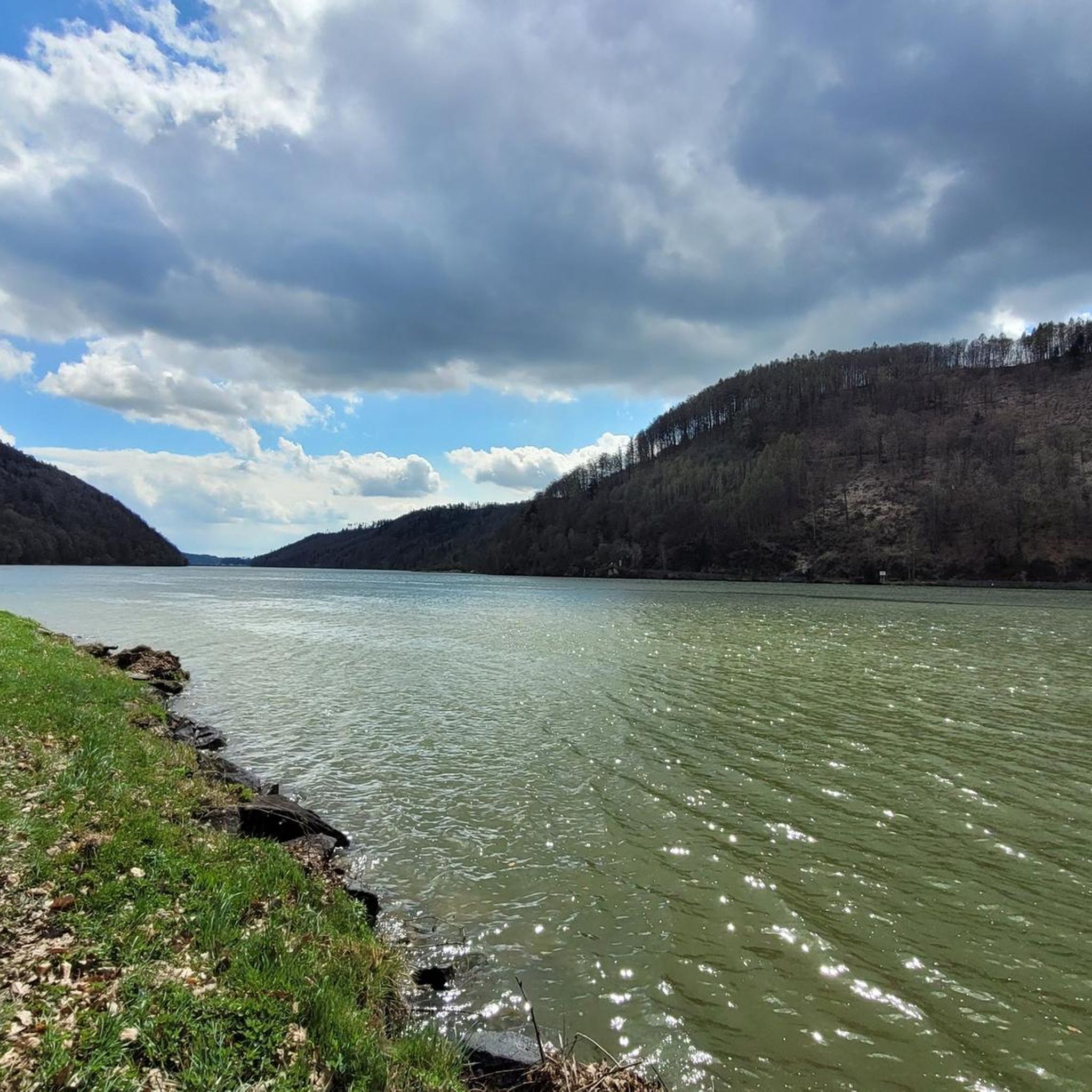
Hiking around Aschach an der Donau
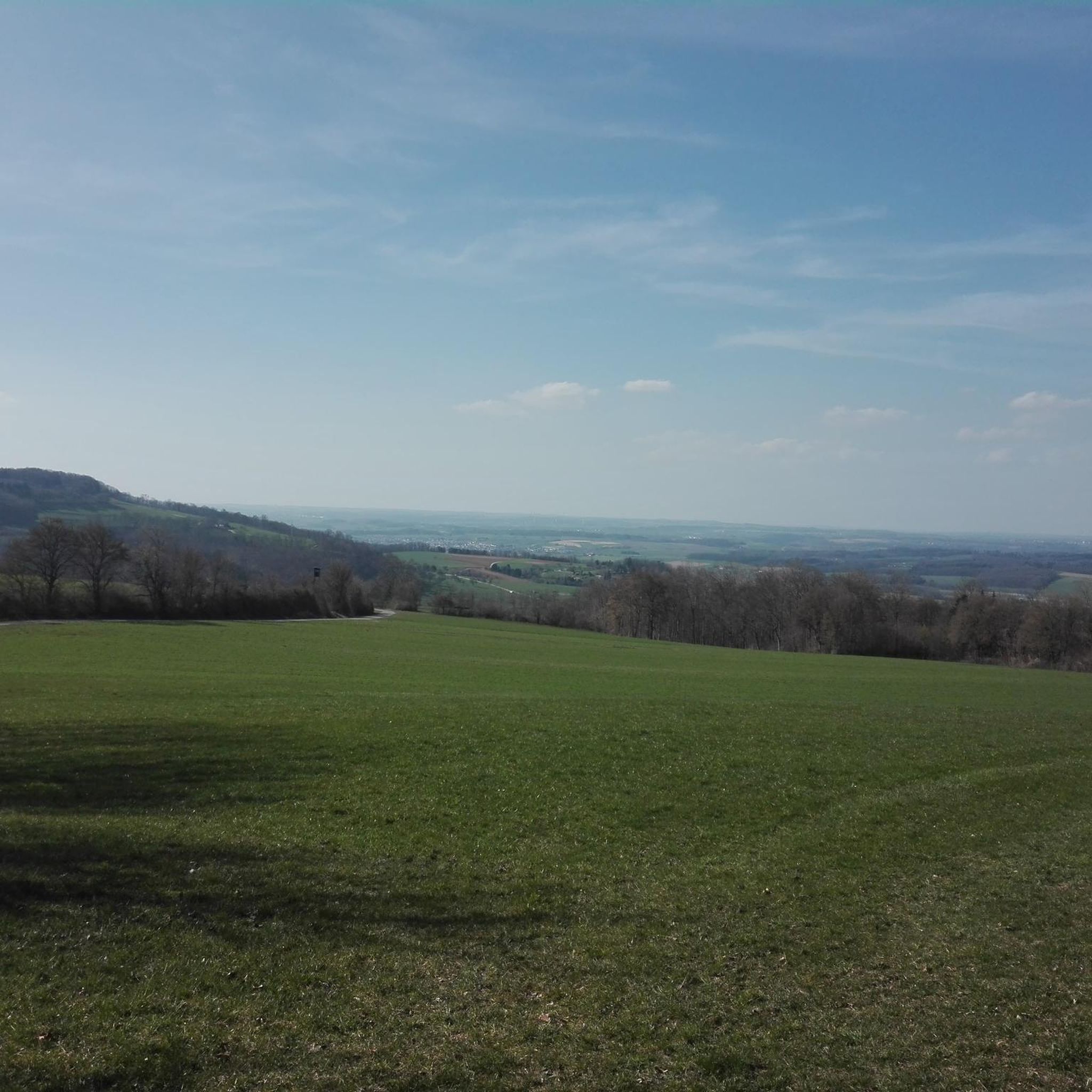
Gravel biking around Aschach an der Donau
Other adventures around Aschach an der Donau

Tips from the Community

Panoramic view from the pyramid at Etzinger Hill.
0
0
Pyramid on Etzinger Hill: Drone footage taken with the DJI Mavic Air 2
0
0

The Mayrhofberg is adorned with a tower and a summit cross with some benches.
2
0

Well, the hike went okay. The observation tower is nice with a nice view, but the trail is very poorly signposted.
2
0
The Calvary Hill is the highest elevation in the municipality (562 m) with a chapel.
0
0
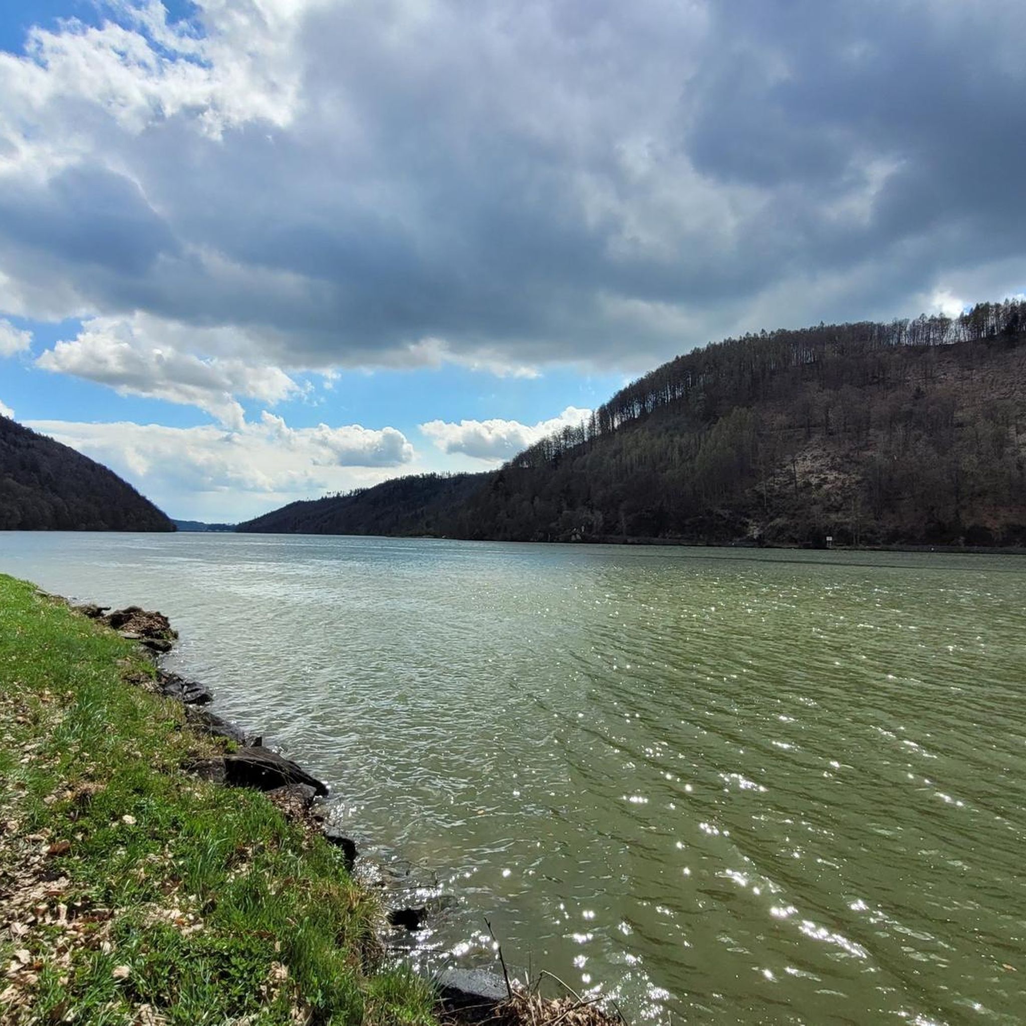
Panoramic view across the Danube to Kirchberg ob der Donau.
0
0
The Kirnberg is only for those who like to climb peaks - no view - or for hunters. There are lots of tree stands on this route and we spotted lots of deer.
0
0

Very nice view and area. Recommended.
0
0
Frequently Asked Questions
What are some of the highest elevated points around Aschach an der Donau?
The highest elevation in the Eferding and neighboring Grieskirchen districts is the Mayrhofberg Observation Tower, standing at 655 m. Another significant point is the Kalvarienberg Chapel, which is the highest elevation in its municipality at 562 m.
Are there family-friendly elevated points or viewpoints in the region?
Yes, the Kalvarienberg Chapel is noted as family-friendly and offers panoramic views. The general area around Aschach an der Donau also features numerous elevated points and hiking trails suitable for various fitness levels, including easier strolls.
What kind of views can I expect from the elevated areas around Aschach an der Donau?
From the elevated points, you can expect stunning panoramic views of the Danube River, the Eferding Basin, and the surrounding countryside. Locations like the Mayrhofberg Observation Tower and Kalvarienberg Chapel offer far-reaching vistas, including across the Danube to Kirchberg ob der Donau.
What outdoor activities can I do near these elevated points?
The region offers extensive opportunities for hiking, cycling, and mountain biking. You can explore various trails such as the Danube-Höhenwanderweg (Danube High-altitude Hiking Trail) or specific routes like the 'View of Untermühl loop'. For more detailed routes, you can check out the Hiking around Aschach an der Donau guide, the Cycling around Aschach an der Donau guide, or the MTB Trails around Aschach an der Donau guide.
Are there easy hiking options around Aschach an der Donau's elevated areas?
Yes, there are hiking paths catering to various fitness levels. For instance, the 'Lizards at Landshaag – View of Kraftwerk Aschach loop' is an easy 5.7 km hike. Many elevated areas are integrated into a network of trails, offering both challenging routes and more leisurely strolls.
Can I find cultural or historical sites while exploring the elevated areas?
Yes, many trails in the region pass by historical landmarks. The Kalvarienberg Chapel itself is a religious building with historical significance. The Danube Bridge also offers a captivating panorama of the historic market town of Aschach, showcasing its well-preserved medieval center.
What is considered the 'local mountain' of Aschach an der Donau?
The Sierner is often referred to as the 'local mountain' or 'home hill' of Aschach. Historically a wine-growing area, it offers a chance to explore the local landscape and provides elevated views over the town and the Danube.
What do visitors enjoy most about the elevated points around Aschach an der Donau?
Visitors particularly appreciate the panoramic views of the Danube River and the surrounding countryside. The integration of these elevated areas into a network of hiking trails, combined with the region's natural beauty and occasional historical landmarks, makes for a rewarding outdoor experience.
Is there a good spot for training or a quick hike near Aschach an der Donau?
The Mursberg is described as a 'small training mountain' and offers a good connection from Feldkirchen and Pesenbach to Walding, making it suitable for a leisurely start even in warm weather.
Where can I find a unique man-made monument with panoramic views?
The Pyramid on Etzinger Hill offers a panoramic view from its location. It's a distinctive man-made monument that provides a different perspective of the landscape.
What is the highest elevation within the Eferding Basin itself?
The Kirnberg (435 m) is noted as the highest elevation in the Eferding Basin. While it may not always offer expansive views due to forest cover, it's a significant point for those who enjoy reaching summits.
Are there any specific trails that offer views of the Eferding Basin?
Yes, the Donau-Höhenwanderweg (Danube High-altitude Hiking Trail), accessible from Aschach, leads via Vornholz and Schönleiten to some of the most beautiful viewpoints overlooking the Eferding Basin and the Danube Valley.
Most popular routes around Aschach an der Donau
Most popular attractions around Aschach an der Donau

Get inspired with the komoot mobile app


Explore more
See even more amazing summits around Aschach an der Donau with these guides:
