The 5 Most Amazing Peaks around Sankt Martin im Mühlkreis
Best mountain peaks around Sankt Martin im Mühlkreis are characterized by a gentle hill landscape within the Mühlviertel region of Upper Austria. The municipality itself is situated at an elevation of 549 meters, with its highest point reaching approximately 613 meters. This area, part of the Mühlviertler High Plateau, offers a variety of elevated points and scenic trails suitable for hiking and enjoying nature. The Sankt Martin im Mühlkreis hiking terrain features diverse hilly terrain, forests, and agricultural land, providing panoramic views of the surrounding hills and the Danube River.
Best mountain peaks around Sankt Martin im Mühlkreis
- The most popular mountain peaks is Mayrhofberg Observation Tower, a viewpoint that is, at 655 m, the highest elevation in the Eferding district and the neighboring Grieskirchen district. The observation tower, built by the Aschach/Eferding Beautification Association, offers views into the country.
- Another must-see spot is Hansberg Viewpoint, a family-friendly summit with a restaurant and cafe. Visitors can enjoy snacks and tarte flambée, along with a view.
- Visitors also love Kalvarienberg Chapel, a religious building that is the highest elevation in the municipality at 562 m. It offers a panoramic view across the Danube to Kirchberg ob der Donau.
- Sankt Martin im Mühlkreis is known for viewpoints, summits, and elevated areas with cultural significance. These range from gentle hills to higher elevations, providing diverse hiking and exploration opportunities.
- The mountain peaks around Sankt Martin im Mühlkreis are appreciated by the komoot community, with over 200 upvotes and 180 photos shared.
Last updated: October 8, 2026
Mayrhofberg Observation Tower
Highlight • Viewpoint
Translated by Google •
Tip by

Mursberg
Highlight • Summit
Translated by Google •
Tip by

Sign up now to discover places like this
Get recommendations on the best single tracks, peaks, & plenty of other exciting outdoor places.
Kirnberg (435 m)
Highlight • Summit
Translated by Google •
Tip by

Kalvarienberg Chapel
Highlight • Religious Site
Translated by Google •
Tip by

Burgstall Kirchberg ob der Donau
Highlight • Summit
Translated by Google •
Tip by
Sign up for free to discover even more peaks around Sankt Martin im Mühlkreis.
Already have an account?
Start today with a free account
Your next adventure awaits.
Popular around Sankt Martin im Mühlkreis

Danube Trail – Legendary long-distance hiking along the Danube River
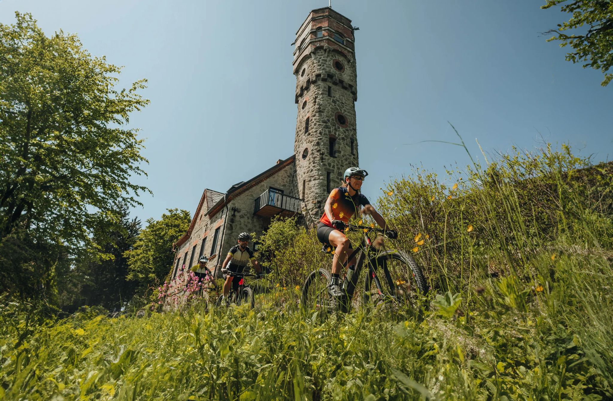
Forests, hamlets and water – bike on the Granit-Bier-Runde

E-bike Tours in the Danube region in Upper Austria

Simply amazing – 13 hikes along the Donausteig
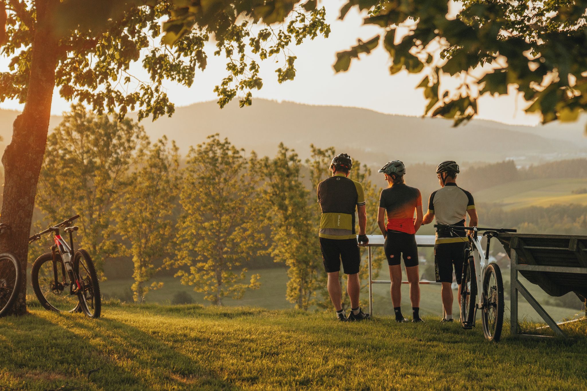
Biken auf der Grande Granit-Runde
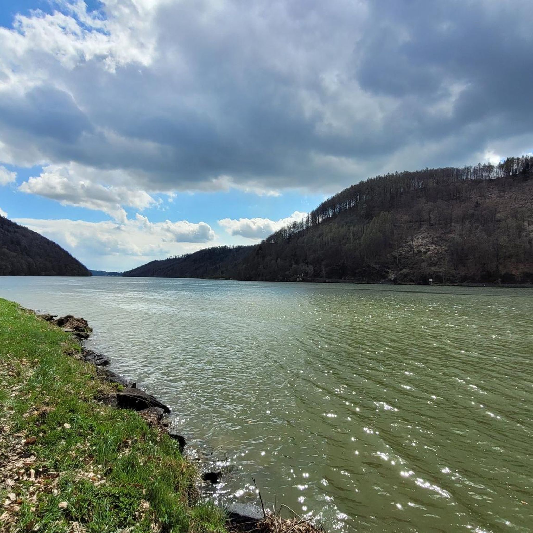
Road Cycling Routes around Sankt Martin im Mühlkreis
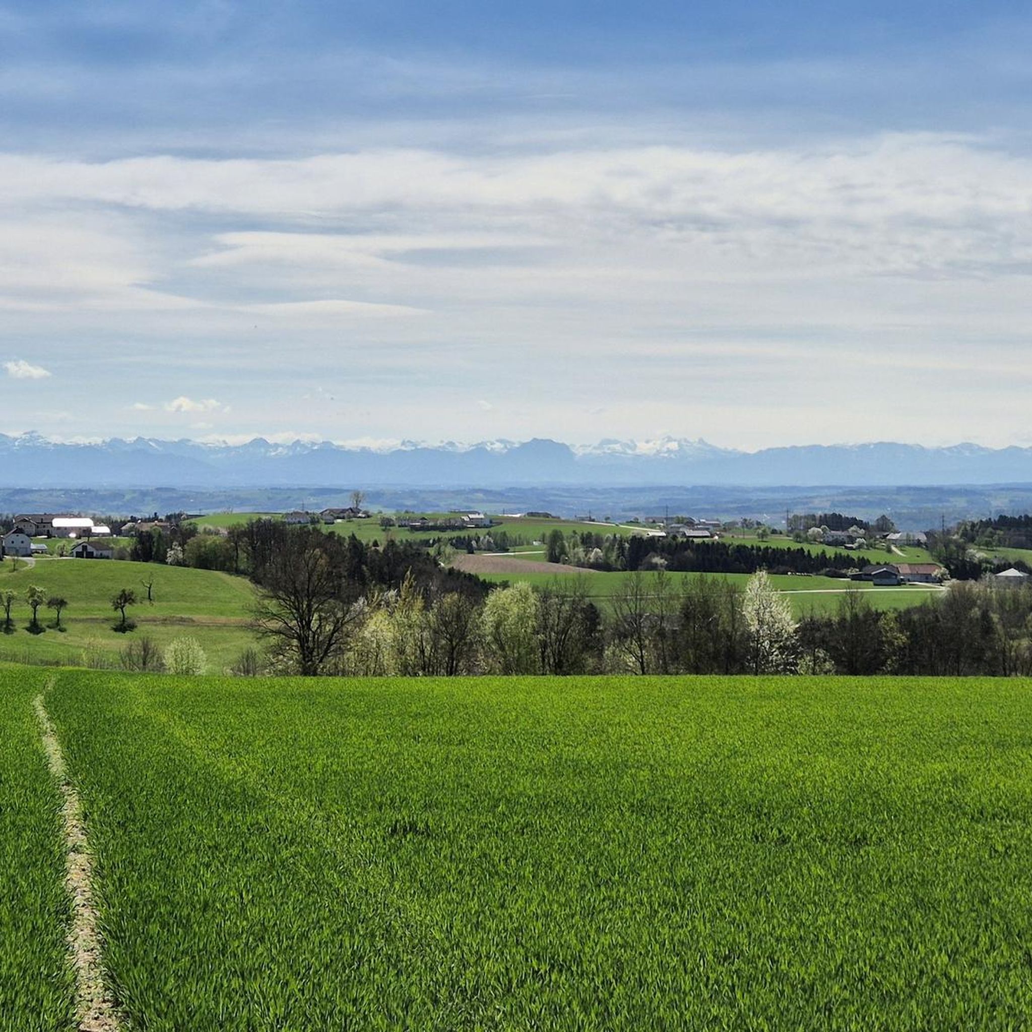
Hiking around Sankt Martin im Mühlkreis
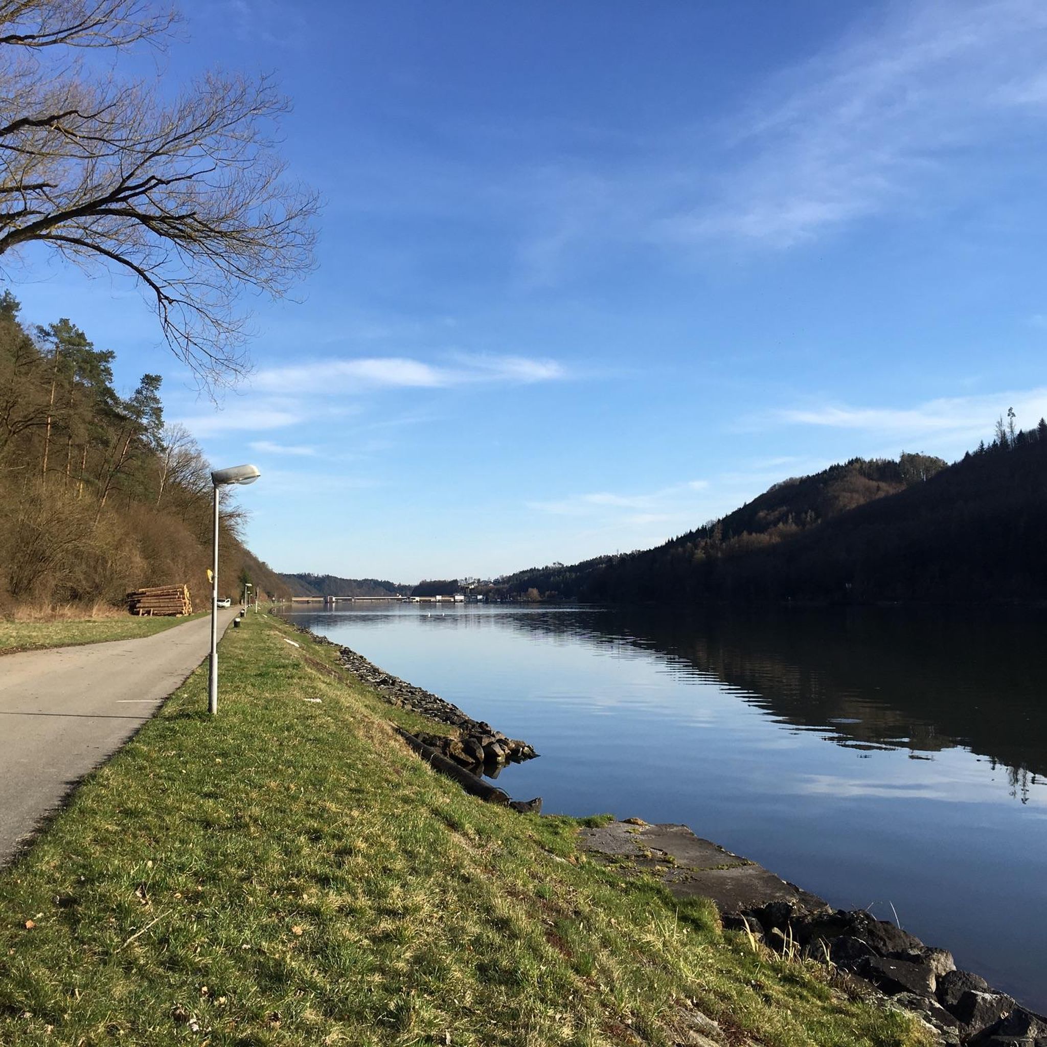
Cycling around Sankt Martin im Mühlkreis
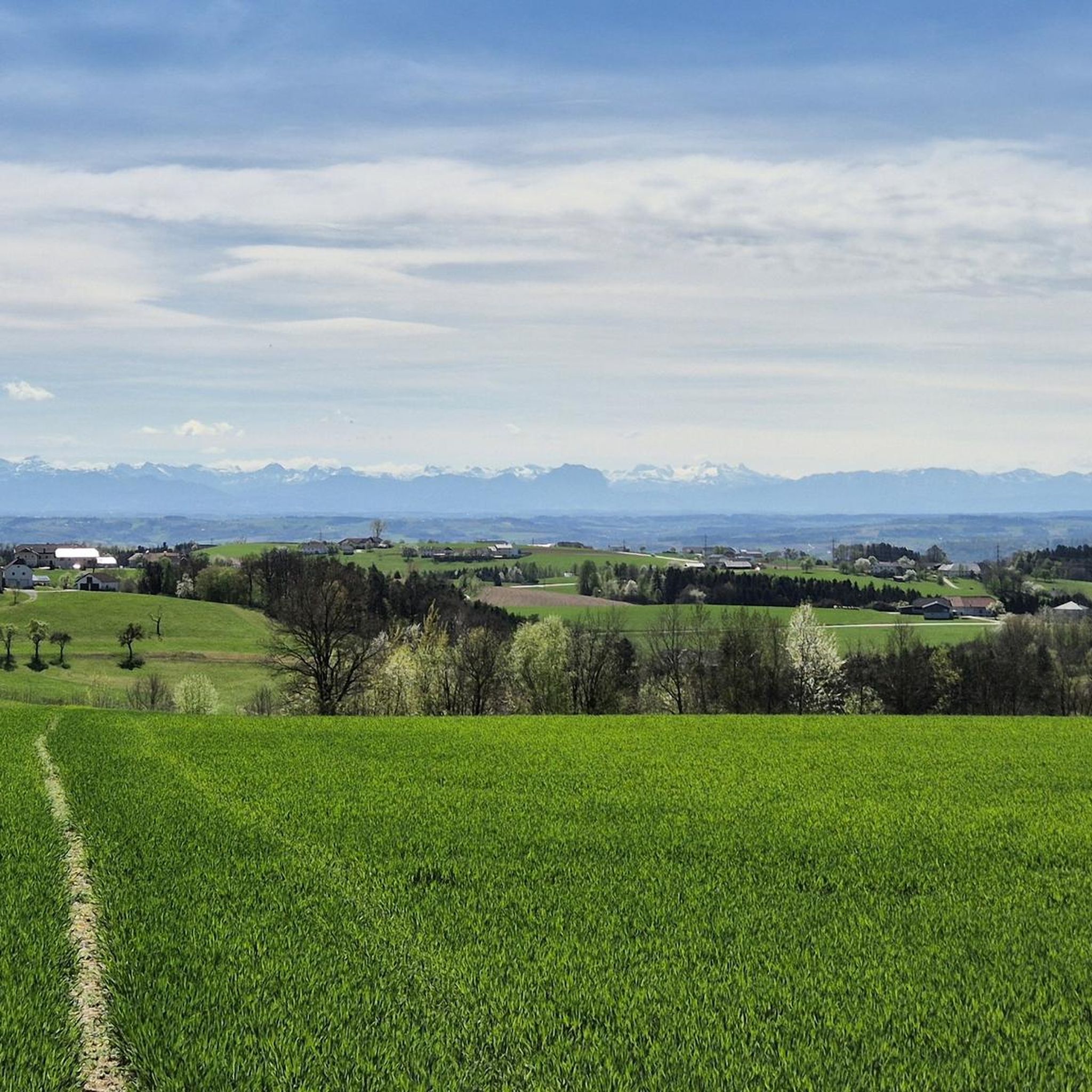
Running Trails around Sankt Martin im Mühlkreis
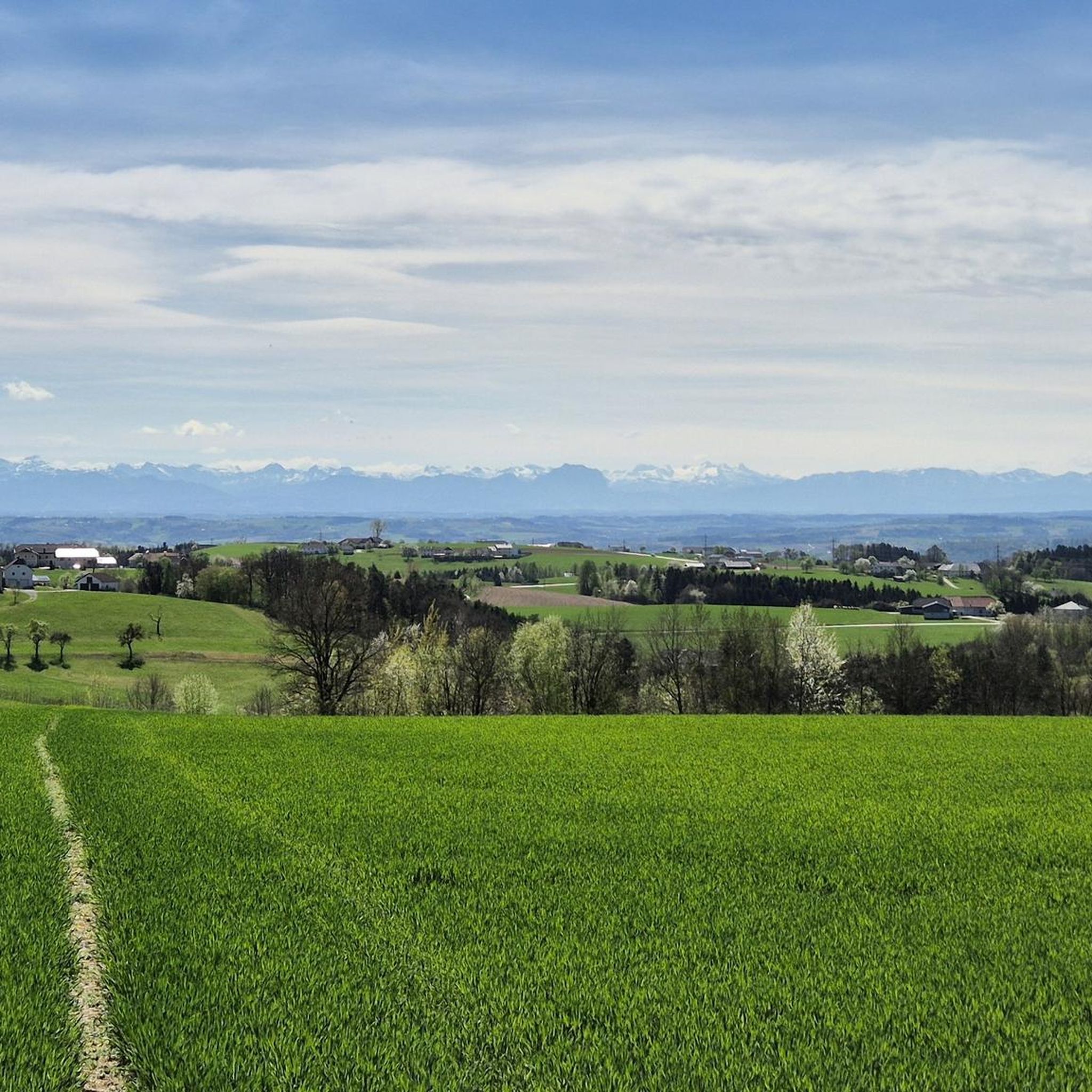
MTB Trails around Sankt Martin im Mühlkreis
Other adventures around Sankt Martin im Mühlkreis


Tips from the Community

The Burgstall in Kirchberg ob der Donau (Upper Austria) is a famous panoramic mountain located at 613 meters above sea level, known for being the highest point along the entire course of the Danube River, from its source to its mouth. Historically, it hosted an ancient medieval hilltop castle (Höhenburg) of which no visible remains are left today.
0
0

The Mayrhofberg is adorned with a tower and a summit cross with some benches.
2
0

Well, the hike went okay. The observation tower is nice with a nice view, but the trail is very poorly signposted.
2
0

The Calvary Hill is the highest elevation in the municipality (562 m) with a chapel.
0
0
Panoramic view across the Danube to Kirchberg ob der Donau.
0
0
The Kirnberg is only for those who like to climb peaks - no view - or for hunters. There are lots of tree stands on this route and we spotted lots of deer.
0
0

Very nice view and area. Recommended.
0
0

A great excursion destination... observation tower and summit cross in one go👍😉
3
0
Frequently Asked Questions
What kind of terrain can I expect when exploring the elevated areas around Sankt Martin im Mühlkreis?
The region around Sankt Martin im Mühlkreis features a gentle hill landscape, part of the Mühlviertler High Plateau. You'll find diverse hilly terrain, forests, and agricultural land, offering scenic trails rather than dramatic high-alpine summits. The highest point within the municipality is approximately 613 meters.
Are there any family-friendly peaks or viewpoints in the area?
Yes, the Hansberg Viewpoint is particularly family-friendly, featuring a restaurant and cafe where visitors can enjoy snacks and tarte flambée. The Kalvarienberg Chapel is also considered family-friendly and offers a panoramic view.
Where can I find the best panoramic views of the Danube River?
For excellent panoramic views across the Danube, head to the Kalvarienberg Chapel. The Burgstall, while not a highlight in the guide, is also noted in regional research for offering views over the Danube valley as part of the Donausteig trail.
What is the highest point I can visit in the Sankt Martin im Mühlkreis area?
The highest elevation in the broader area, and specifically in the Eferding and neighboring Grieskirchen districts, is the Mayrhofberg Observation Tower, standing at 655 meters. It offers extensive views into the surrounding country.
Are there any cultural or historical sites among the elevated points?
Yes, the Kalvarienberg Chapel is a religious building and the highest elevation within the municipality itself (562 m), offering both cultural significance and panoramic views.
What outdoor activities can I do near these mountain peaks?
The diverse hilly terrain around Sankt Martin im Mühlkreis is ideal for various outdoor activities. You can find numerous routes for hiking, cycling, and mountain biking. For specific routes, explore options like gravel biking, cycling, or road cycling in the region.
Are there any places to eat or drink near the viewpoints?
Yes, the Hansberg Viewpoint features a restaurant and cafe, making it a convenient spot to enjoy snacks, tarte flambée, and refreshments while taking in the view.
What do visitors enjoy most about the elevated areas around Sankt Martin im Mühlkreis?
Visitors appreciate the opportunity for active recreation amidst a tranquil and picturesque landscape. The panoramic views of the Mühlviertel hills, the Danube River, and the Pesenbach valley are highly valued, as is the well-developed network of hiking and cycling trails that allow exploration at one's own pace.
Are there any less-known or 'hidden gem' elevated spots worth visiting?
While not a 'hidden gem' in the traditional sense, Mursberg is described as a 'small training mountain' that offers a leisurely ascent and a good connection between Feldkirchen, Pesenbach, and Walding, providing a pleasant, less crowded experience.
What is the best time of year to hike the peaks in this region?
The region's diverse hilly terrain, featuring forests and agricultural land, is generally suitable for hiking from spring through autumn. While specific seasonal tips for winter hiking are not detailed, the area's charm lies in its tranquil and picturesque landscape, which can be enjoyed in various seasons depending on weather conditions.
Is there an observation tower in the Sankt Martin im Mühlkreis area?
Yes, the Mayrhofberg Observation Tower is a prominent feature. Built by the Aschach/Eferding Beautification Association, it stands at 655 meters and offers expansive views across the landscape.
Most popular routes around Sankt Martin im Mühlkreis
Most popular attractions around Sankt Martin im Mühlkreis

Get inspired with the komoot mobile app


Explore more
See even more amazing summits around Sankt Martin im Mühlkreis with these guides:
