
The best running trails in Sierra De San Miguelito
4.9
(29)
898
runners
28
runs
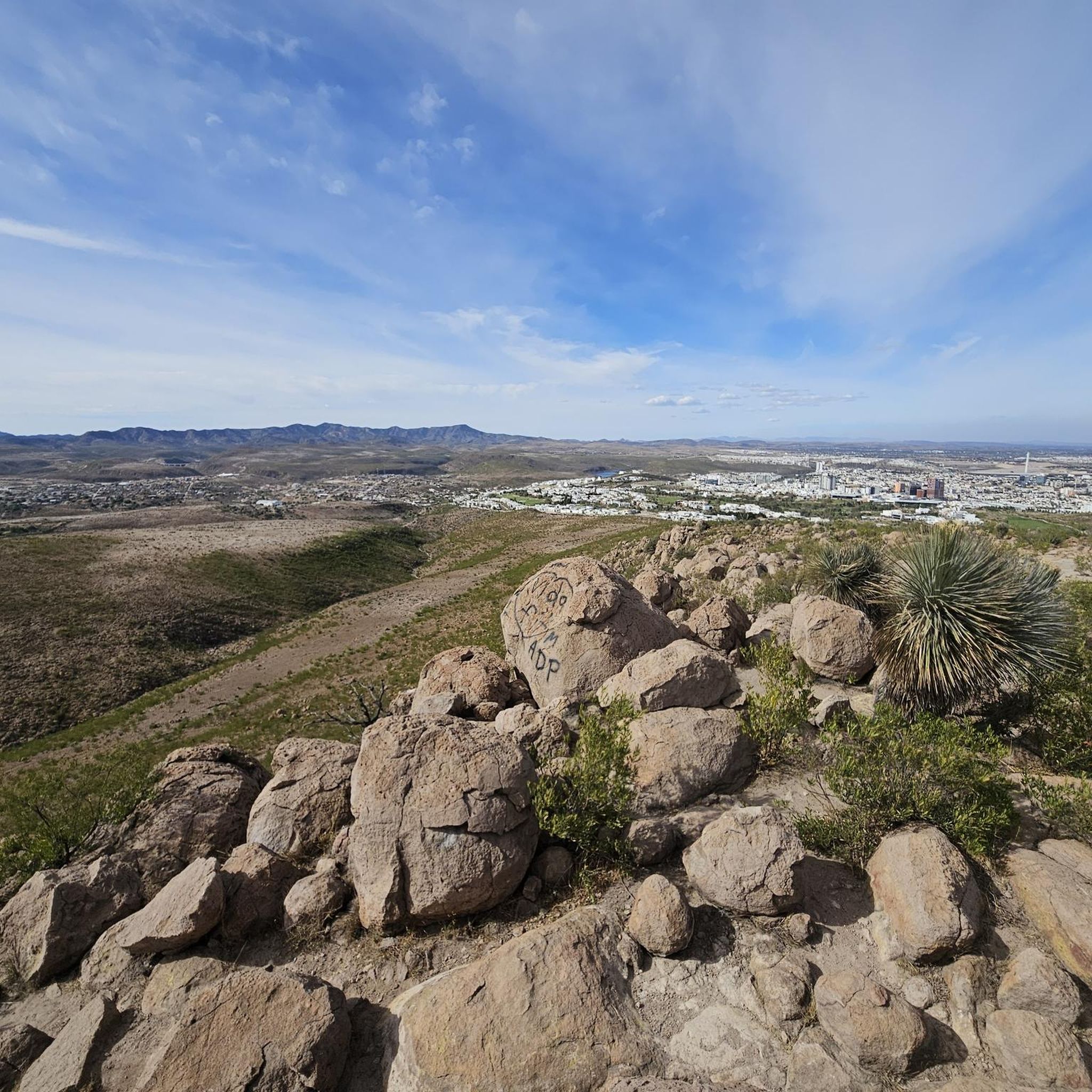
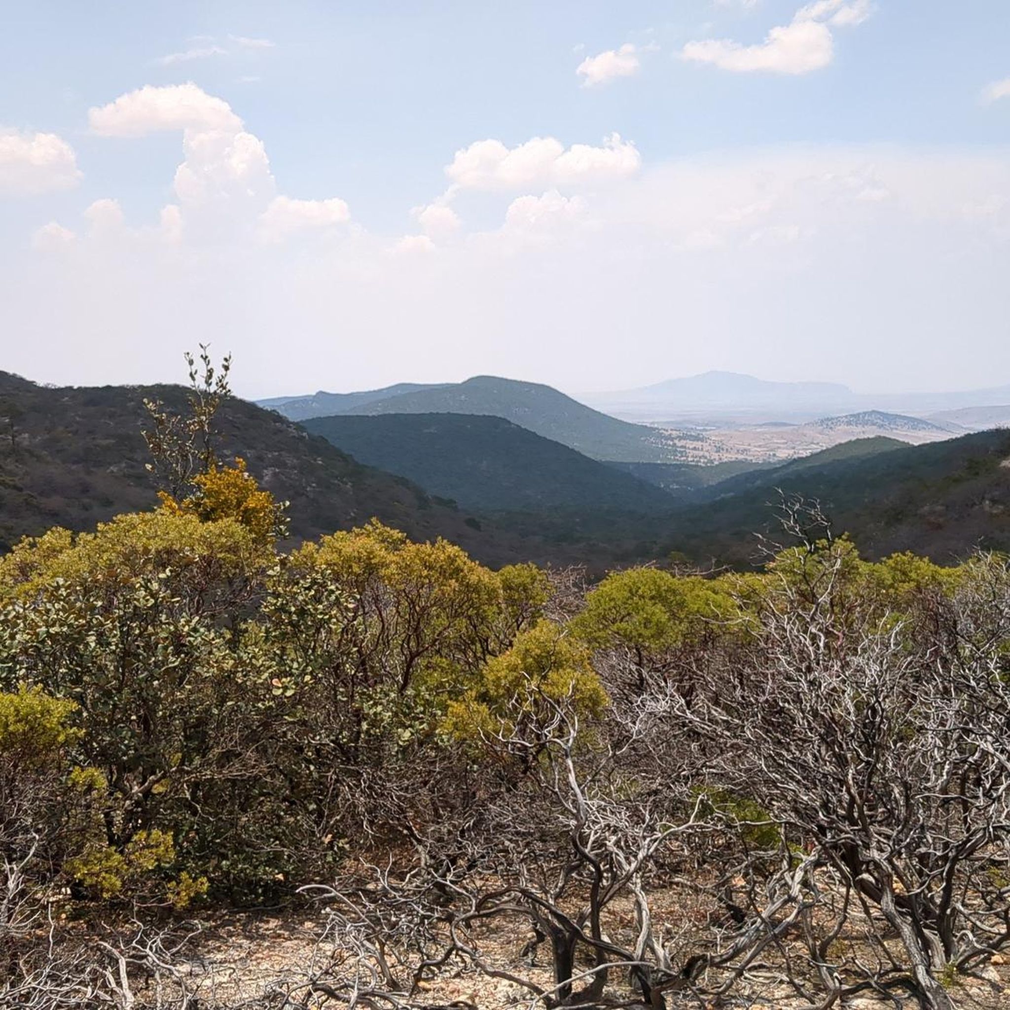
Jogging routes in Sierra De San Miguelito traverse a Protected Natural Area characterized by diverse ecosystems, including temperate pine and oak forests, alongside xerophilous scrubland. The region features varied mountainous terrain, dissected plateaus, and hills, offering a range of elevations for runners. Hydrological importance is evident through intermittent streams and natural springs, contributing to the scenic variety.
Best jogging routes in Sierra De San Miguelito
- The most popular jogging route is Running loop from Instituto Tecnológico de Estudios Superiores de…
Last updated: July 15, 2026
6
runners
Easy run. Great for any fitness level. Mostly paved surfaces. Suitable for all skill levels.
11
runners
Hard run. Very good fitness required. Mostly paved surfaces. Suitable for all skill levels.

Sign up for free
4.7
(3)
77
runners
5.49km
00:34
50m
40m
Moderate run. Good fitness required. Mostly paved surfaces. Suitable for all skill levels.
5.0
(1)
68
runners
6.83km
00:43
20m
20m
Moderate run. Good fitness required. Mostly paved surfaces. Suitable for all skill levels.
15
runners
35.8km
03:42
110m
110m
Hard run. Very good fitness required. Mostly paved surfaces. Suitable for all skill levels.
Get access to more routes and recommendations from other explorers.
Sign up for free
Already have an account?
Our route recommendations are based on thousands of hikes, rides, and runs completed by other people on komoot.
Start today with a free account
Your next adventure awaits.
Login or Signup
Popular around Sierra De San Miguelito
Frequently Asked Questions
How many running routes are available in Sierra De San Miguelito?
There are over 25 running routes in Sierra De San Miguelito, catering to various fitness levels. You'll find a good mix of easy, moderate, and difficult trails to explore.
What kind of terrain can I expect on the jogging trails in Sierra De San Miguelito?
The Sierra de San Miguelito offers a diverse landscape for runners. You can expect mountainous terrain with varied elevations, including dissected plateaus and hills. Trails often pass through temperate pine and oak forests, as well as xerophilous scrubland. The area also features intermittent streams and natural springs, adding to the scenic variety.
Are there any easy running routes suitable for beginners or a relaxed jog?
Yes, Sierra De San Miguelito has 8 easy running routes perfect for beginners or those looking for a gentle workout. A popular choice is the Running loop from Instituto Tecnológico de Estudios Superiores de Monterrey, which is 2.9 miles (4.6 km) long and offers a pleasant introduction to the area's natural beauty.
When is the best time of year to go running in Sierra De San Miguelito?
The most comfortable months for running in Sierra De San Miguelito are from September to February. During this period, the weather is cooler, providing more pleasant conditions for physical activity and enjoying the trails.
Are there any long or challenging routes for experienced trail runners?
Absolutely. For experienced trail runners seeking a challenge, there are 5 difficult routes available. One such demanding path is the Lanchas de Morales – Tequis loop from Colonia Lomas de San Luis 2a. Sección, which spans 10.1 miles (16.2 km) and features varied terrain to test your endurance.
Can I find circular running routes in the Sierra De San Miguelito area?
Yes, many of the running routes in Sierra De San Miguelito are designed as loops, allowing you to start and finish at the same point. For example, the Running loop from Parque Tangamanga is a 3.4-mile (5.4 km) circular trail that takes you through urban green spaces.
What do other runners say about the trails in Sierra De San Miguelito?
The running routes in Sierra De San Miguelito are highly regarded by the komoot community, boasting an impressive average rating of 4.9 stars from over 20 reviews. Runners frequently praise the varied terrain, the natural beauty, and the options available for different skill levels.
Are there any specific viewpoints or natural attractions along the running paths?
While specific highlights are not detailed for every route, the Sierra de San Miguelito is known for its natural viewpoints and distinctive rock formations. Keep an eye out for features like the 'Ventana' (window) monolith and the prominent Picacho del Bernalejo, especially in the southern parts of the Sierra, which offer spectacular vistas. The region's hydrological importance also means you might encounter natural springs and streams.
Is there parking available near the trailheads for running routes?
While specific parking details for every trailhead are not provided, many popular starting points for routes, such as those near Parque Tangamanga or Instituto Tecnológico de Estudios Superiores de Monterrey, typically offer parking facilities for visitors. It's advisable to check the specific route details on komoot for more precise information on access points.
Are there any routes that combine urban green spaces with natural trails?
Yes, some routes offer a blend of urban green spaces and more natural settings. The Playita Mayor Tangamanga loop from Parque Tangamanga is a moderate 4.2-mile (6.8 km) route that provides a good example of this, allowing you to enjoy both park amenities and a taste of the region's outdoor environment.
What are the typical trail conditions like in Sierra De San Miguelito?
Trail conditions vary depending on the specific route and recent weather. Given the diverse terrain, you can expect a mix of well-trodden paths, potentially rocky sections in mountainous areas, and softer ground in forested or scrubland sections. During the recommended cooler months (September to February), conditions are generally favorable for running.
Most popular routes in Sierra De San Miguelito

Get inspired with the komoot mobile app


