The best walks and hikes in Sierra De La Lombriz
4.5
(27)
81
hikers
8
hikes
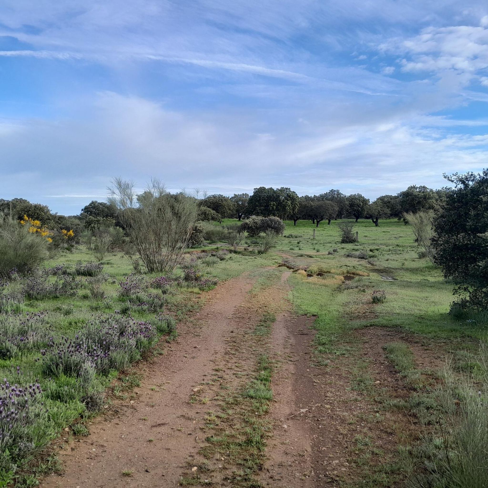
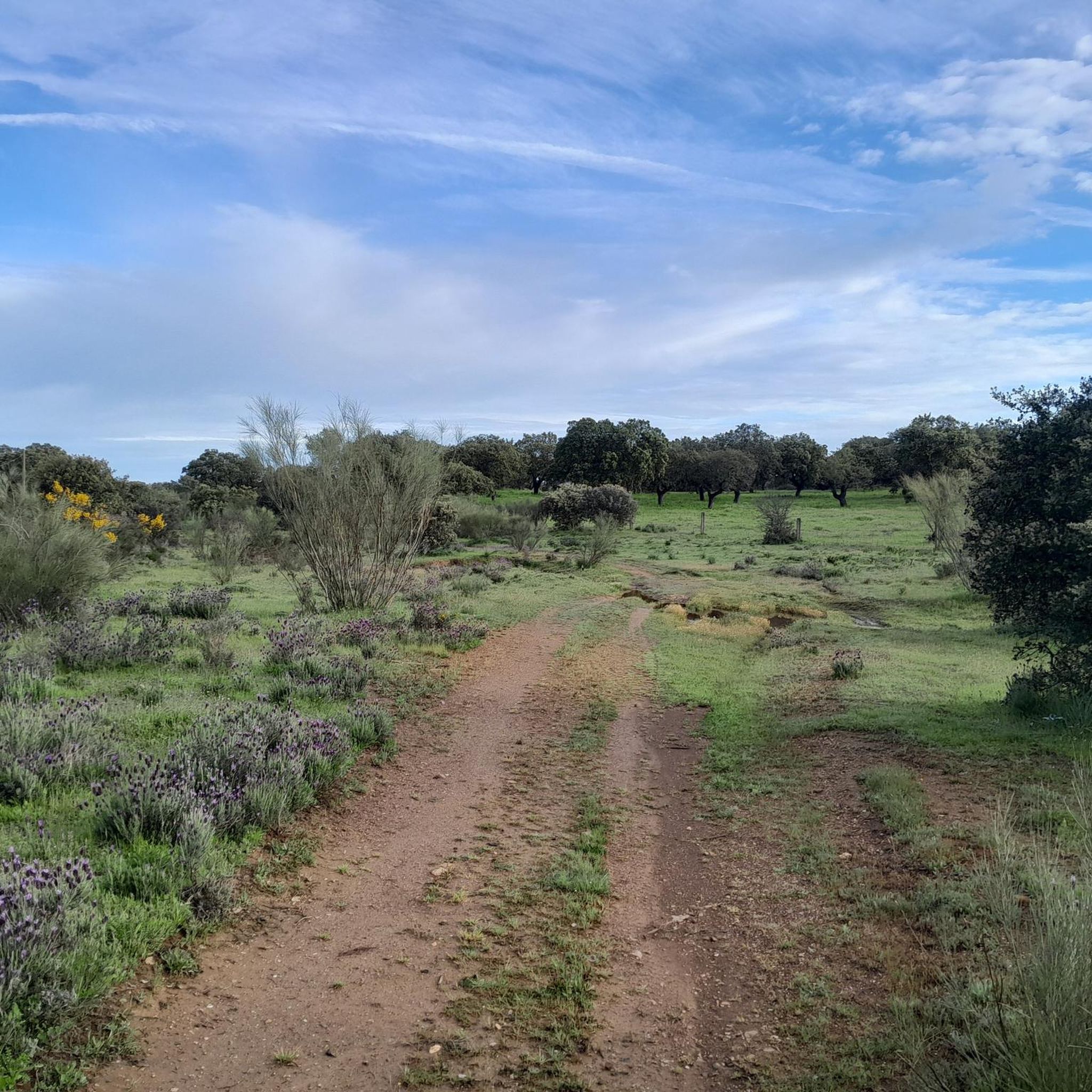
Hiking in Sierra De La Lombriz offers a collection of trails through a forested landscape in the Cáceres region. The area is characterized by rolling hills and woodlands, providing varied terrain for outdoor exploration. Hikers can expect paths that traverse natural environments, with some routes featuring moderate elevation changes. The region's natural setting makes it suitable for those seeking a tranquil hiking experience.
Best hiking trails in Sierra De La Lombriz
- The most popular hiking route is Hiking loop from…
Last updated: August 18, 2026
4.8
(8)
19
hikers
13.5km
03:44
230m
230m
Moderate hike. Good fitness required. Easily-accessible paths. Suitable for all skill levels.
4.9
(7)
17
hikers
11.4km
03:10
210m
220m
Moderate hike. Good fitness required. Easily-accessible paths. Suitable for all skill levels.

Sign up for free
4.8
(9)
42
hikers
Hard hike. Very good fitness required. Easily-accessible paths. Suitable for all skill levels.
4.7
(3)
6
hikers
8.46km
02:10
30m
30m
Moderate hike. Good fitness required. Easily-accessible paths. Suitable for all skill levels.
3.5
(2)
4
hikers
5.14km
01:20
30m
30m
Easy hike. Great for any fitness level. Easily-accessible paths. Suitable for all skill levels.
Get access to more routes and recommendations from other explorers.
Sign up for free
Already have an account?
Our route recommendations are based on thousands of hikes, rides, and runs completed by other people on komoot.
Start today with a free account
Your next adventure awaits.
Login or Signup


Tips from the Community

Visigothic Basilica with easy access via a paved track. If you leave the Basilica on the right and continue straight, you will reach a track that runs along the mountain with beautiful views of the surroundings.
0
1

The basilica is located in a stunning natural setting, making it an ideal destination for those who enjoy historical and cultural tourism,
2
0
The House of Mercy in Alcuéscar is a special place that offers hospitality to pilgrims traveling the Vía de la Plata. Although it is not a typical hostel, it is a reception space managed by the Religious Community of the Slaves of Mary and the Poor.
3
0

Unique church with preserved parts of 700.
2
0

An interesting church dating from the 6th century BC, the Santa Lucía del Trampal church was built on a valuable religious site, where tombstones and inscriptions and epigraphs dedicated to the pre-Roman deity Ataecina have been found.
1
1
Alcuéscar is a small town in the Sierra de Montánchez region. Founded under the Muslim rule of the Iberian Peninsula around the year 830 and exchanged hands throughout the medieval era.
1
1
Alcuéscar is a small town in the Sierra de Montánchez region on the border with the province of Badajoz. The city was established in 830 under the Muslim rule of the Iberian Peninsula. The Vía de la Plata, which connects Seville with Astorga, crosses the town.
1
0
Casas de Don Antonio is a small town on the road that connects Mérida with Cáceres, which runs along the Roman road known as Vía de la Plata. Look at the Roman bridge on the other side of the CC-147 road over the Ayuela river.
1
0
Frequently Asked Questions
How many hiking trails are available in Sierra De La Lombriz?
Sierra De La Lombriz offers a selection of 5 hiking trails, catering to various preferences and skill levels. These routes explore the region's forested landscapes and rolling hills.
What is the typical difficulty level of hikes in Sierra De La Lombriz?
The trails in Sierra De La Lombriz range from easy to difficult. You'll find 1 easy route, 3 moderate routes, and 1 challenging route, ensuring options for all experience levels.
Are there any easy hikes suitable for beginners in Sierra De La Lombriz?
Yes, beginners can enjoy the Hiking loop from Casas de Don Antonio. This easy route covers 3.2 miles (5.1 km) and takes approximately 1 hour 20 minutes, offering a gentle introduction to the area's natural beauty.
What is the average length and duration of hikes in Sierra De La Lombriz?
Hikes in Sierra De La Lombriz vary in length and duration. You can find shorter routes like the Hiking loop from Casas de Don Antonio at 3.2 miles (5.1 km) taking about 1 hour 20 minutes, up to longer, more challenging trails such as the Santiago de Bencáliz Bridge – Stepping Stones Crossing loop from Casas de Don Antonio, which is 17.6 miles (28.3 km) and typically takes over 7 hours.
Are there challenging hikes for experienced hikers in Sierra De La Lombriz?
For experienced hikers seeking a challenge, the Santiago de Bencáliz Bridge – Stepping Stones Crossing loop from Casas de Don Antonio is a difficult 17.6 miles (28.3 km) trail. It features varied landscapes and river crossings, requiring approximately 7 hours and 17 minutes to complete.
Are dogs allowed on the hiking trails in Sierra De La Lombriz?
Generally, dogs are welcome on the hiking trails in Sierra De La Lombriz. It's always recommended to keep them on a leash, especially in areas with wildlife or near livestock, and to follow local regulations regarding pet waste.
Are there any circular walks in Sierra De La Lombriz?
Yes, many of the trails in Sierra De La Lombriz are designed as circular routes, allowing you to start and end at the same point. Examples include the popular Hiking loop from La Tierra Verde and the Hiking loop from Alcuéscar.
What do other hikers enjoy most about hiking in Sierra De La Lombriz?
The komoot community highly rates the hiking experience in Sierra De La Lombriz, with an average score of 4.6 stars from over 20 reviews. Hikers often praise the tranquil forested landscapes, the variety of terrain, and the opportunity for peaceful outdoor exploration.
Is parking available near the trailheads in Sierra De La Lombriz?
Parking is typically available in or near the villages that serve as starting points for many trails, such as Casas de Don Antonio, La Tierra Verde, and Alcuéscar. Look for designated parking areas or roadside spots where permitted.
Can I reach the hiking trails in Sierra De La Lombriz by public transport?
While public transport options might be limited directly to all trailheads, some of the larger villages in the vicinity, like Alcuéscar or Casas de Don Antonio, may have bus connections. It's advisable to check local bus schedules for routes connecting to these areas.
What is the best time of year to hike in Sierra De La Lombriz?
The best time to hike in Sierra De La Lombriz is generally during the spring (April-May) and autumn (September-October) months. During these periods, the weather is milder, and the natural scenery is particularly vibrant, offering comfortable conditions for exploration.
Are there any routes that offer views of water features or reservoirs?
Yes, the region features occasional water elements. For example, the View of the Ayuela Reservoir loop from Casas de Don Antonio offers scenic vistas of the reservoir, providing a different landscape experience.
Most popular routes in Sierra De La Lombriz

Get inspired with the komoot mobile app


Explore more
Browse the best Hikes in other regions.
