The best walks and hikes in Pinar De Allende
13
hikers
6
hikes
Hiking trails in Pinar De Allende are characterized by a blend of semi-desert terrain and mountain greenery, offering diverse environments for exploration. The region features valleys, canyons, and hills, providing varied hiking experiences. Natural features include the Laja River, which offers riverside paths, and areas with volcanic landscapes and ancient cacti. The area's geography, situated on the Mexican Plateau, contributes to its unique natural charm.
Best hiking trails in Pinar De Allende
- The most popular hiking route is Puente viejo loop from Mozoncillo, a 2.0 miles (3.2 km) trail that takes about 49 minutes to complete, offering an easy loop near the village.
- Another top favourite among local hikers is Carbonero el Mayor and Río Pirón Loop, a moderate 10.3 miles (16.6 km) path. This route explores the local countryside and follows sections of the Río Pirón.
- Local hikers also love the Carbonero el Mayor loop from Carbonero el Mayor, a 3.7 miles (5.9 km) trail leading through rural landscapes, often completed in about 1 hour 33 minutes.
- Hiking in Pinar De Allende is defined by river paths, rural loops, and varied terrain, including semi-desert and mountain flora. The network offers options for different ability levels, from easy walks to moderate excursions.
- The guide includes highly-rated routes that showcase the best of the region's landscape. More than 10 hikers have used komoot to explore Pinar De Allende's varied terrain.
Last updated: July 8, 2026
4
hikers
3.20km
00:49
10m
10m
Easy hike. Great for any fitness level. Easily-accessible paths. Suitable for all skill levels.
2
hikers
3.98km
01:01
10m
10m
Easy hike. Great for any fitness level. Easily-accessible paths. Suitable for all skill levels.

Sign up for free
1
hikers
16.6km
04:19
110m
110m
Hike the Vado del Bustar by the Río Pirón, a 10.3-mile circular route from Carbonero el Mayor with varied terrain and progressive difficulty
2
hikers
5.91km
01:33
50m
50m
Easy hike. Great for any fitness level. Easily-accessible paths. Suitable for all skill levels.
2
hikers
8.70km
02:14
30m
30m
Moderate hike. Good fitness required. Easily-accessible paths. Suitable for all skill levels.
Our route recommendations are based on thousands of hikes, rides, and runs completed by other people on komoot.
Start today with a free account
Your next adventure awaits.
Login or Signup



Tips from the Community

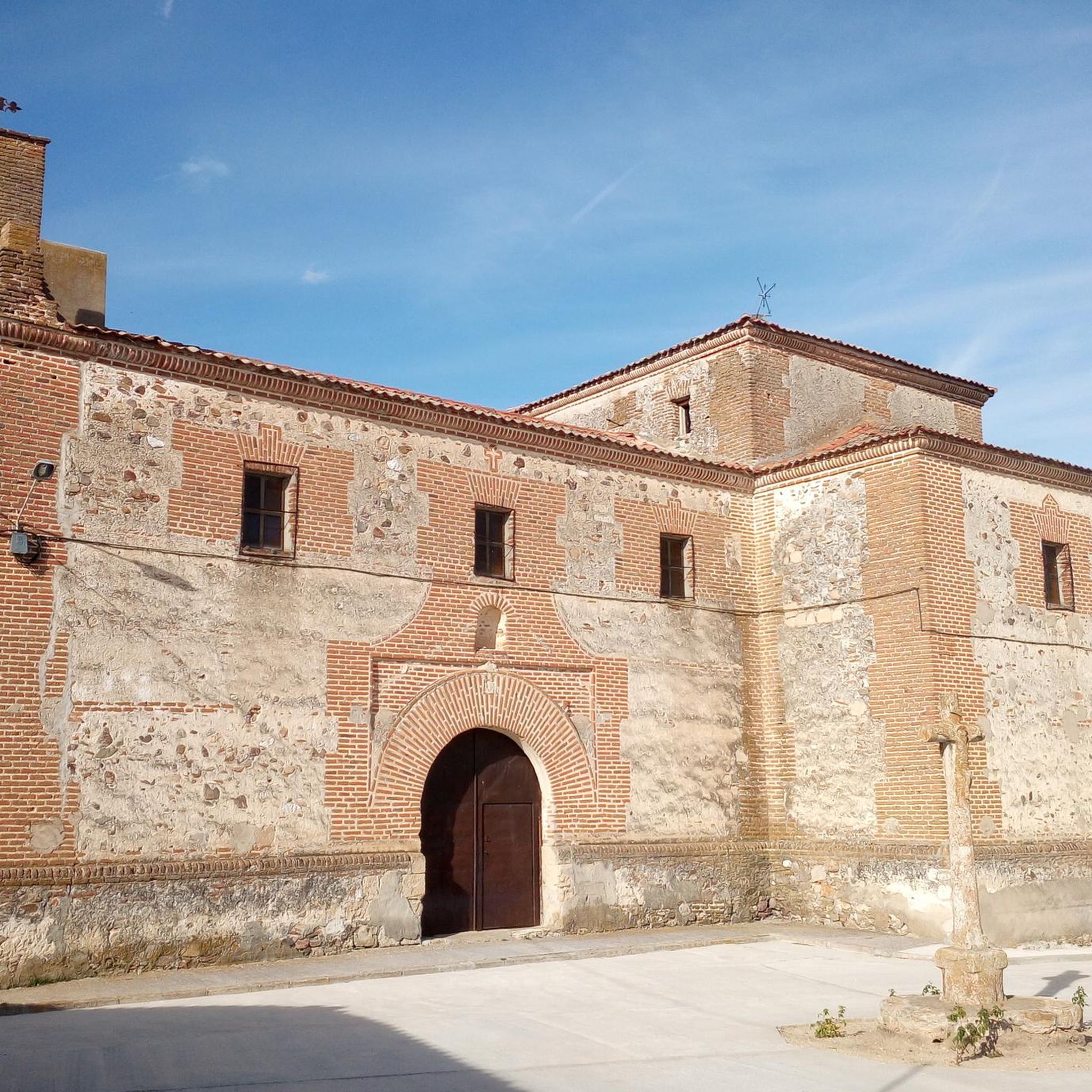
Carbonero el Mayor is a municipality and Spanish town in the province of Segovia, in the southern part of the autonomous community of Castilla y León. It appears cited in 1247 under the name Carbonero de Liedos; In 1587 it was mentioned as Carbonero la Mayor and in the 19th century it already appeared with its current name.
4
0

Carbonero el Mayor is a town located north of the city of Segovia, in the middle of the plain that goes from the Central System and the great plains of Valladolid.
1
0
Fuentepelayo is one of those towns that is located in the old middle of the plain between the Sierra de Guadarrama and the Río Duero valley. It is characterized by having two churches at its core, the Iglesia de Santa María and the Iglesia de El Salvador.
0
0
With care we can cross the Pirón River through this ford.
10
0
Frequently Asked Questions
How many hiking trails are available in Pinar De Allende?
There are currently 6 hiking routes documented in Pinar De Allende on komoot. These range from easy strolls to more moderate adventures, offering a variety of experiences across the region's diverse landscapes.
Are there any easy, family-friendly hikes in Pinar De Allende?
Yes, Pinar De Allende offers several easy routes suitable for families. For instance, the Puente viejo loop from Mozoncillo is a gentle 3.2 km path. Another great option is the Carbonero el Mayor loop from Carbonero el Mayor, which is just under 6 km and offers an accessible way to explore the local area.
What are some scenic viewpoints or natural attractions to explore while hiking in Pinar De Allende?
The region is rich in natural beauty. You can find impressive canyon views and a vast collection of cacti at the El Charco del Ingenio Botanical Garden and Nature Preserve. For panoramic vistas of San Miguel de Allende, consider visiting El Mirador. The area also features unique volcanic landscapes around the Palo Huerfano Volcano and the possibility of discovering ancient wall paintings near waterfalls in the Picachos mountains.
Are there any circular hiking routes in Pinar De Allende?
Yes, many of the trails in Pinar De Allende are designed as circular routes, allowing you to start and end at the same point. Examples include the Carbonero el Mayor and Río Pirón Loop, which is a moderate 16.6 km journey, and the shorter Fuentepelayo loop from Fuentepelayo at 8.3 km.
What is the best time of year for hiking in Pinar De Allende?
Pinar De Allende enjoys beautiful weather year-round, making it an ideal destination for outdoor activities in any season. The region's position on the Mexican Plateau at an elevation of about 6,000 feet contributes to pleasant conditions for hiking throughout the year.
Are there any trails that feature waterfalls in the Pinar De Allende area?
Yes, the region offers opportunities to discover waterfalls. Some trails in the Picachos mountains near Cabras lead to features like "Las Pinturas," which includes a waterfall with ancient wall paintings. The Extoraz River hike within the Sierra Gorda Biosphere Reserve also involves walking along and through crystal-clear waters, offering stunning natural scenery.
What kind of landscapes can I expect to see on hikes in Pinar De Allende?
Pinar De Allende offers a diverse range of landscapes. You'll encounter a blend of semi-desert terrain with unique cacti collections, lush mountain greenery, deep canyons, rolling hills, and even volcanic formations. Trails often wind along riverbanks, through botanical gardens, and past historical sites.
Are there any longer, more challenging hikes for experienced trekkers?
While most routes listed are easy to moderate, the region's varied terrain allows for longer, more immersive experiences. The Carbonero el Mayor and Río Pirón Loop is a moderate 16.6 km hike that provides a good challenge. For multi-day adventures, the Extoraz River hike in the Sierra Gorda Biosphere Reserve offers a more strenuous experience through rugged mountain scenery.
Can I find trails near water bodies like rivers or dams in Pinar De Allende?
Absolutely. The Rio Laja Trail follows the banks of the Laja River, offering opportunities for exercise and birdwatching. The Presa Allende (Allende Dam) area is also accessible, and depending on water levels, you might even be able to see a "Sunken Church" or enjoy walks around the reservoir.
What other outdoor activities are available in the Pinar De Allende region besides hiking?
Beyond hiking, Pinar De Allende is a hub for various outdoor adventures. You can enjoy horseback riding through canyons, visit local hot springs, try zip-lining or cliff rappelling, go on ATV tours, or even kayak on local waters. The clear night skies also make it a great spot for stargazing.
Are there any parks within San Miguel de Allende itself that offer walking paths?
Yes, within San Miguel de Allende, Parque Benito Juárez provides a serene and picturesque setting for relaxed walks. It features winding paths, vibrant flowers, and shaded areas, perfect for a leisurely stroll or a break from the city's bustle.

Get inspired with the komoot mobile app


Explore more
Browse the best Hikes in other regions.
