
The best running trails in Huejotzingo
4.7
(11)
97
runners
8
runs
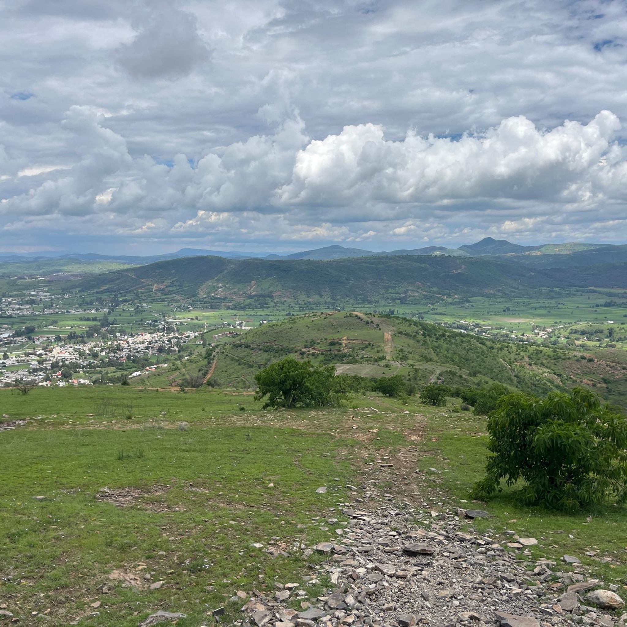
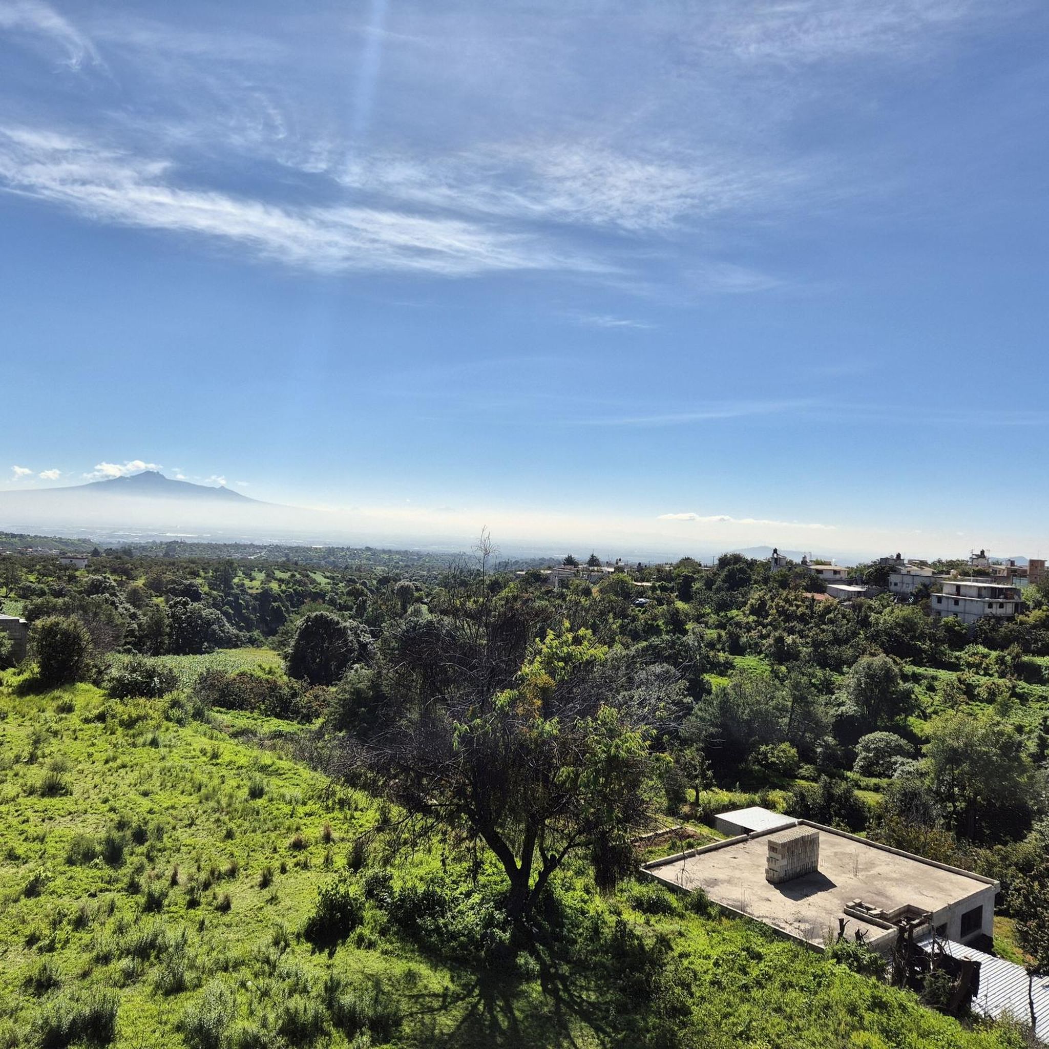
Jogging in Huejotzingo offers a diverse landscape for runners, characterized by a mix of urban fringes, natural reserves, and elevated terrain. The region features areas like Parque Ecoturístico Apatlaco and Reserva Estatal Cerro Zapotecas, providing varied running environments. With routes that include significant elevation gains, runners can expect a dynamic experience across different gradients.
Best jogging routes in Huejotzingo
- The most popular jogging route is Direct Drop-Off loop from San Pedro Cholula, a 10.0 miles (16.1 km) trail that takes 1 hour 55 minutes to complete, featuring challenging ascents.
- Another top favourite among local runners is Direct Drop-Off loop from San Francisco Cuapan, a difficult 7.3 miles (11.8 km) path. This route includes notable elevation changes, offering a demanding workout.
- Local runners also love the Running loop from Parque Ecoturístico Apatlaco, a 6.5 miles (10.4 km) trail leading through a scenic eco-park, often completed in about 1 hour 18 minutes.
- Jogging in Huejotzingo is defined by its natural parks, reserves like Cerro Zapotecas, and varied elevation profiles. The network offers options for easy, moderate, and difficult running, catering to different ability levels.
- The routes in Huejotzingo are highly rated by the komoot community with an average score of 4.6 stars from 10 reviews. More than 95 runners have used komoot to explore Huejotzingo's varied terrain.
Last updated: July 8, 2026
4.0
(9)
52
runners
16.1km
01:56
340m
340m
Hard run. Very good fitness required. Mostly paved surfaces. Suitable for all skill levels.
13
runners
11.8km
01:30
300m
300m
Hard run. Very good fitness required. Mostly paved surfaces. Suitable for all skill levels.

Sign up for free
5.0
(1)
9
runners
10.4km
01:18
240m
240m
Moderate run. Good fitness required. Mostly paved surfaces. Suitable for all skill levels.
5
runners
6.11km
00:48
170m
170m
Moderate run. Good fitness required. Mostly paved surfaces. Suitable for all skill levels.
4
runners
4.33km
00:27
10m
10m
Easy run. Great for any fitness level. Mostly paved surfaces. Suitable for all skill levels.
3
runners
15.6km
02:07
400m
400m
Hard run. Very good fitness required. Sure-footedness, sturdy shoes and alpine experience required.
Get access to more routes and recommendations from other explorers.
Sign up for free
Already have an account?
Our route recommendations are based on thousands of hikes, rides, and runs completed by other people on komoot.
Start today with a free account
Your next adventure awaits.
Login or Signup
Popular around Huejotzingo
Tips from the Community

Frequently Asked Questions
Are there easy running routes in Huejotzingo for beginners?
Yes, Huejotzingo offers a variety of running routes, including options suitable for beginners. While many routes feature significant elevation changes, there is at least one easy route available. For example, the area around Parque Ecoturístico Apatlaco provides more accessible terrain.
What is the general difficulty level of running trails in Huejotzingo?
Running trails in Huejotzingo offer a diverse range of difficulties. Out of 9 available routes, you'll find 1 easy, 4 moderate, and 4 difficult options. Many routes include notable elevation gains, providing a dynamic experience across different gradients.
Is parking available near the running trails in Huejotzingo?
Parking availability varies by trailhead. For routes starting from specific parks like Parque Ecoturístico Apatlaco or Reserva Estatal Cerro Zapotecas, you can often find designated parking areas. For other routes, especially those starting from urban fringes, street parking might be an option, but it's always advisable to check local signage.
Can I bring my dog on running trails in Huejotzingo?
Many natural areas and trails in Huejotzingo are dog-friendly, especially those in less developed areas. However, it's always best to check specific park regulations for places like Parque Ecoturístico Apatlaco or Reserva Estatal Cerro Zapotecas, and ensure your dog is on a leash and you clean up after them.
Are there family-friendly running options in Huejotzingo?
For families, routes with moderate distances and less extreme elevation changes are recommended. While specific 'family-friendly' designations aren't always available, trails within parks like Parque Ecoturístico Apatlaco often provide a more controlled and enjoyable environment for all ages.
What kind of scenery or natural features can I expect on these running routes?
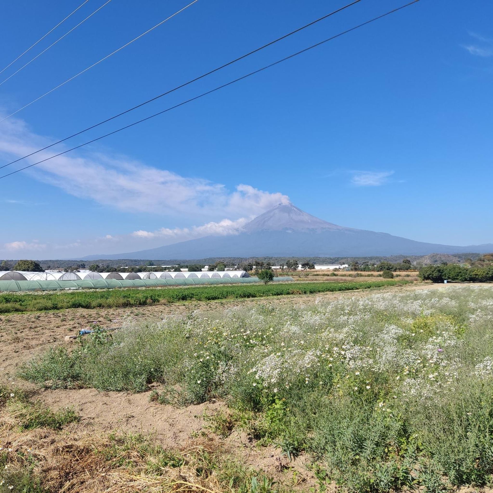
Running in Huejotzingo offers a mix of urban fringes, natural reserves, and elevated terrain. You can expect to see varied landscapes, including areas within Parque Ecoturístico Apatlaco and Reserva Estatal Cerro Zapotecas. The region's proximity to the Popocatépetl and Iztaccíhuatl volcanoes also contributes to its unique natural backdrop.
Are there circular running routes in Huejotzingo?
Yes, many of the running routes in Huejotzingo are designed as loops, offering a convenient way to start and end at the same point. Examples include the Direct Drop-Off loop from San Pedro Cholula and the Running loop from Parque Ecoturístico Apatlaco.
How many running routes are available in Huejotzingo?
There are 9 distinct running routes available in Huejotzingo, catering to various fitness levels and preferences. These routes range from easy to difficult, offering diverse experiences for runners.
What do other runners say about the trails in Huejotzingo?
The running trails in Huejotzingo are highly rated by the komoot community, with an average score of 4.6 stars from 10 reviews. Runners often praise the challenging ascents and the scenic beauty of areas like Parque Ecoturístico Apatlaco and Reserva Estatal Cerro Zapotecas.
What is the best time of year for running in Huejotzingo?
The best time for running in Huejotzingo is generally during the dry season, from November to April, when the weather is cooler and there's less chance of rain. This makes for more comfortable conditions on the trails, especially on routes with significant elevation.
Are there suitable trails for winter running in Huejotzingo?
Winter in Huejotzingo (roughly November to February) is part of the dry season, offering generally pleasant and cooler temperatures for running. Trails are typically less muddy, making it a good time to explore. Always check local weather conditions, especially for higher elevation routes.
Are there any running routes that pass by cafes or places to rest?
While many routes venture into natural reserves, some trails, particularly those starting or passing through urban fringes, may offer access to local amenities like cafes or small shops. For example, routes near San Pedro Cholula or San Francisco Cuapan might have more options for refreshments before or after your run.
What should I wear for running in Huejotzingo?
Given the varied terrain and elevation changes, it's advisable to wear appropriate running shoes with good grip. Layered clothing is also recommended, as temperatures can vary, especially on longer routes or those with significant altitude changes. Don't forget sun protection and hydration, particularly during the dry season.

Get inspired with the komoot mobile app


Explore more
Browse the best Running Trails & Routes in other regions.
