The best running trails in Ocoyucan
4.8
(27)
448
runners
23
runs
Jogging in Ocoyucan offers a variety of routes that traverse both natural and urban landscapes. The region features trails around lagoons and rivers, alongside historical sites like the Cholula Archaeological Zone. Terrain varies from relatively flat paths to routes with moderate elevation changes, providing diverse running experiences. These jogging routes in Ocoyucan cater to different fitness levels, from easy loops to more challenging distances.
Best jogging routes in Ocoyucan
- The most popular jogging route is Laguna de los Patos Salvajes…
Last updated: July 8, 2026
68
runners
12.7km
01:20
90m
90m
Moderate run. Good fitness required. Mostly paved surfaces. Suitable for all skill levels.
4.0
(9)
52
runners
16.1km
01:56
340m
340m
Hard run. Very good fitness required. Mostly paved surfaces. Suitable for all skill levels.

Sign up for free
59
runners
19.9km
02:04
110m
110m
Hard run. Very good fitness required. Mostly paved surfaces. Suitable for all skill levels.
5.0
(3)
41
runners
34.3km
03:35
160m
160m
Hard run. Very good fitness required. Mostly paved surfaces. Suitable for all skill levels.
26
runners
9.70km
01:01
60m
60m
Moderate run. Good fitness required. Mostly paved surfaces. Suitable for all skill levels.
5.0
(5)
13
runners
5.45km
00:34
30m
30m
Moderate run. Good fitness required. Mostly paved surfaces. Suitable for all skill levels.
22
runners
4.71km
00:30
40m
40m
Easy run. Great for any fitness level. Mostly paved surfaces. Suitable for all skill levels.
5.0
(8)
10
runners
7.85km
00:49
50m
50m
Moderate run. Good fitness required. Mostly paved surfaces. Suitable for all skill levels.
5.0
(1)
10
runners
35.1km
03:40
230m
230m
Hard run. Very good fitness required. Mostly paved surfaces. Suitable for all skill levels.
7
runners
5.18km
00:33
50m
50m
Moderate run. Good fitness required. Mostly paved surfaces. Suitable for all skill levels.
Get access to more routes and recommendations from other explorers.
Sign up for free
Already have an account?
Our route recommendations are based on thousands of hikes, rides, and runs completed by other people on komoot.
Start today with a free account
Your next adventure awaits.
Login or Signup
Popular around Ocoyucan
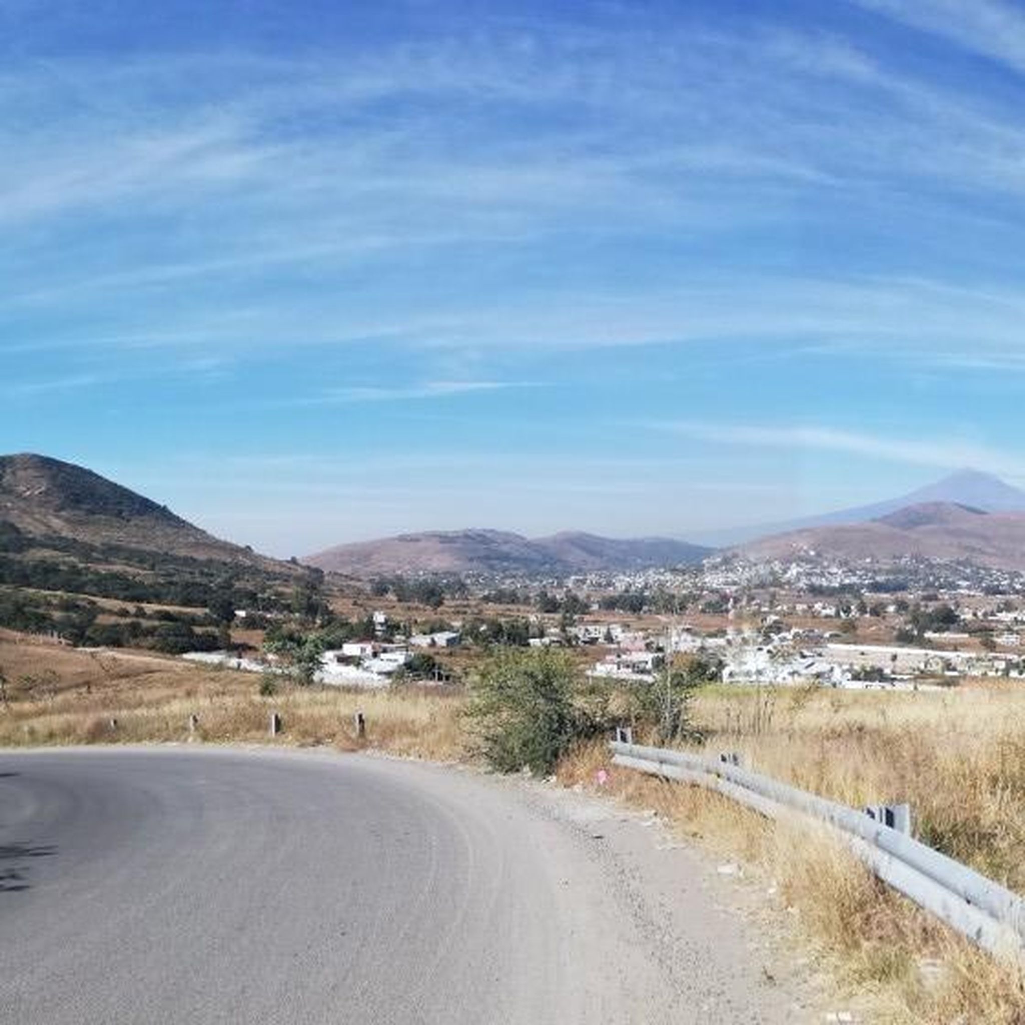
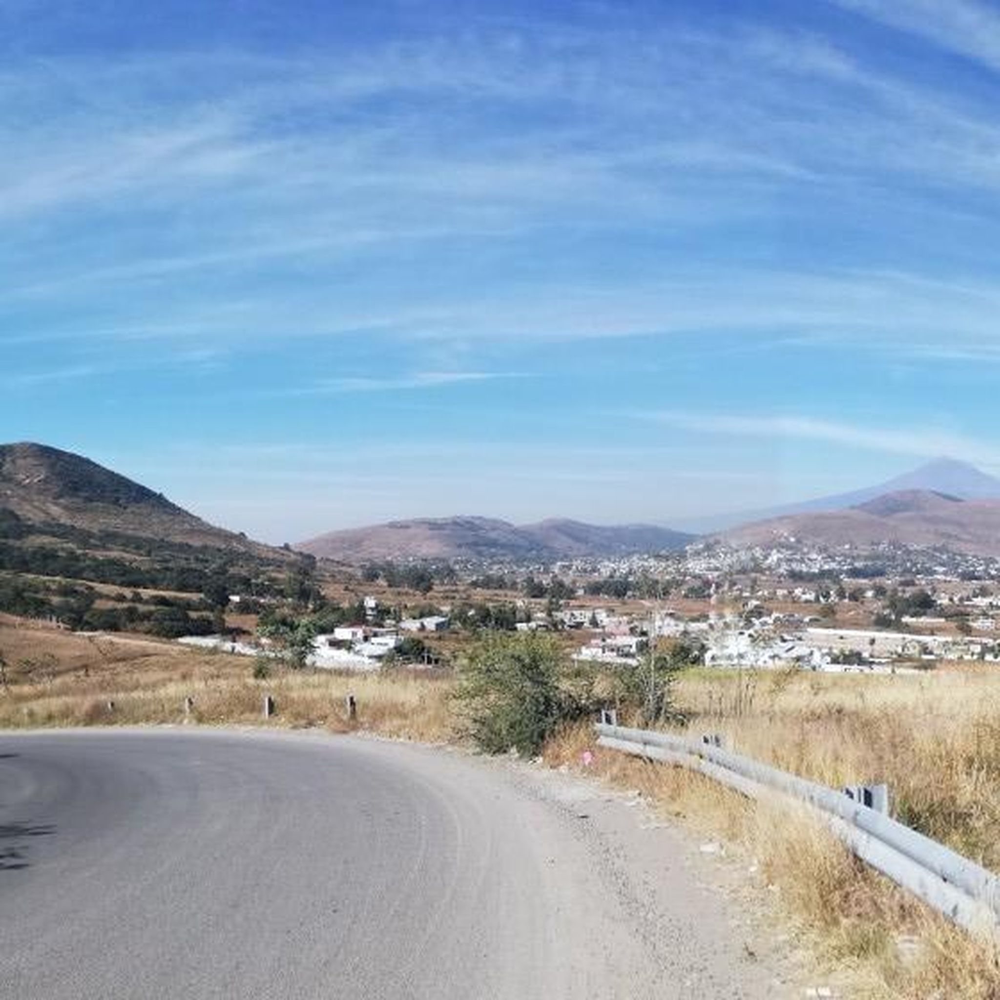
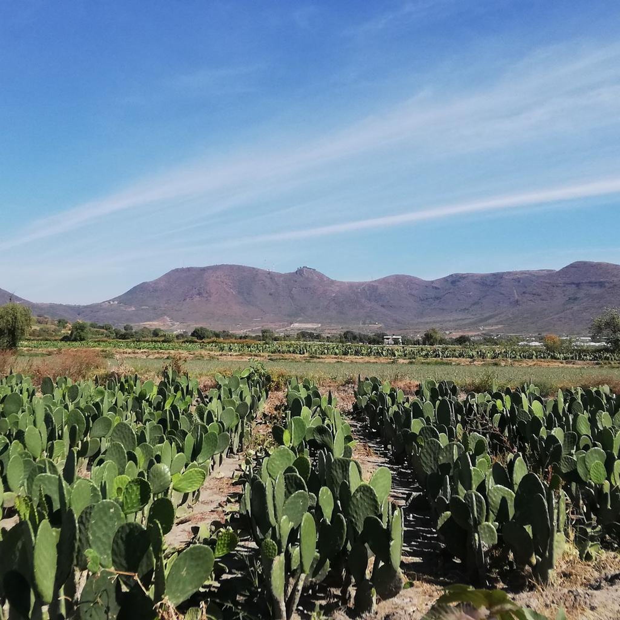
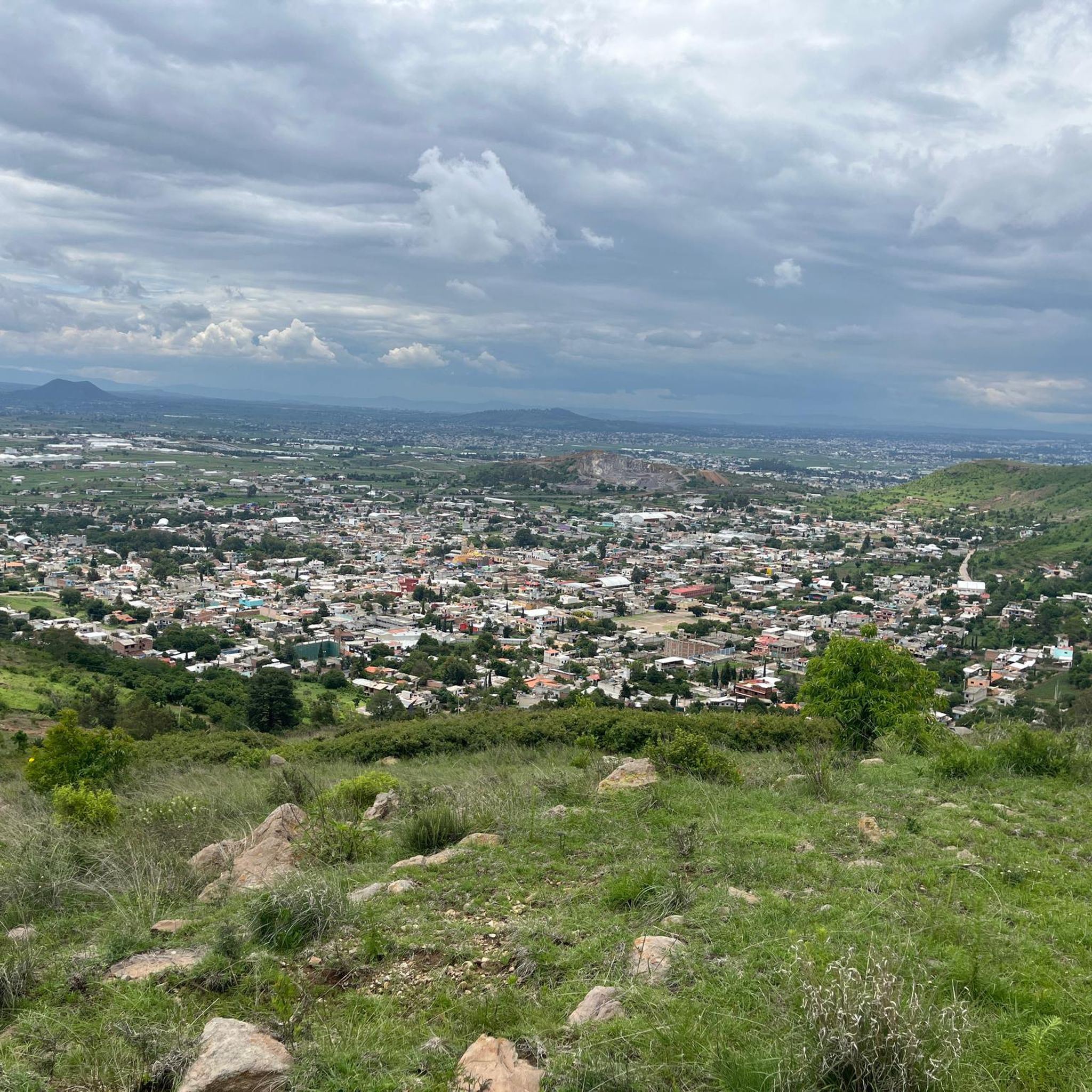
Tips from the Community

This city park was inaugurated in 1840 as Paseo Nuevo. In 1870 it was renamed Paseo Bravo in honor of the rebel general Miguel Bravo, who was executed in this square in 1814.
1
0

Frequently Asked Questions
How many running routes are available in Ocoyucan?
Ocoyucan offers a diverse selection of over 20 running routes, catering to various fitness levels and preferences. These trails traverse both natural and urban landscapes, including paths around lagoons and historical sites.
Are there any easy or beginner-friendly jogging routes in Ocoyucan?
Yes, Ocoyucan has routes suitable for beginners. For instance, the Running loop from Lomas de Angelópolis is a moderate 3.2-mile (5.2 km) trail that is often completed in about 32 minutes, offering a relatively gentle experience through a developed area.
What kind of distances can I expect from the jogging trails in Ocoyucan?
Running routes in Ocoyucan vary significantly in length. You can find shorter loops like the Running loop from Cinepolis at 3.4 miles (5.4 km), up to longer, more challenging runs such as the Running loop from Cholula which spans over 21 miles (34 km).
Are there any circular running routes in Ocoyucan?
Many of Ocoyucan's running paths are circular, offering convenient start and end points. A popular example is the Laguna de los Patos Salvajes loop from Terminal Paseo Destino, a 7.9-mile (12.7 km) route that provides scenic views of the lagoon.
What historical sites or landmarks can I see while jogging in Ocoyucan?
Several routes in Ocoyucan incorporate historical sites. The Cholula Archaeological Zone loop from San Andrés Cholula is a great option, allowing you to explore this significant historical area with gentle ascents as you run.
What do other runners enjoy most about jogging in Ocoyucan?
The running routes in Ocoyucan are highly rated by the komoot community, with an average score of 4.8 stars. Runners often praise the varied terrain, from serene lagoon paths to culturally rich archaeological zones, and the options available for different ability levels.
Are there any running routes that offer good viewpoints or scenic spots?
Yes, many routes offer picturesque views. The Laguna de los Patos Salvajes loop from Terminal Paseo Destino is known for its beautiful lagoon views. Additionally, routes around the Cholula Archaeological Zone provide unique historical scenery.
Are there any dog-friendly running routes in Ocoyucan?
While specific dog-friendly designations aren't always explicit, many natural trails and less crowded paths in Ocoyucan are generally suitable for running with dogs, provided they are kept on a leash and you adhere to local regulations. Always be mindful of other users and wildlife.
Can I find family-friendly jogging trails in Ocoyucan?
For families looking for a run together, consider shorter, less strenuous loops. Routes with minimal elevation gain and well-maintained surfaces, such as parts of the Running loop from Lomas de Angelópolis, can be good options, allowing for a pleasant experience for all ages.
Are there any hidden gems or less-known running paths in Ocoyucan worth exploring?
Beyond the most popular trails, you can discover quieter routes like the Running loop from Rio El Cuescomate. This 4.9-mile (7.8 km) path offers a pleasant run along the river, providing a different perspective of the region away from the more frequented areas.
What is the difficulty level of running routes in Ocoyucan?
Ocoyucan's running routes range from easy to difficult. There are 2 easy routes, 17 moderate routes, and 4 difficult routes, ensuring options for every runner, from those seeking a gentle jog to those looking for a challenging workout with more significant elevation changes.
Are there any long-distance running options for experienced runners in Ocoyucan?
Experienced runners will find several challenging long-distance routes. The San Juan loop from Cholula, at 21 miles (33.8 km) with over 700 feet of elevation gain, is a demanding option for those looking to push their limits.

Get inspired with the komoot mobile app


Explore more
Browse the best Running Trails & Routes in other regions.
