The best cycling routes in Amanalco
61
riders
8
rides
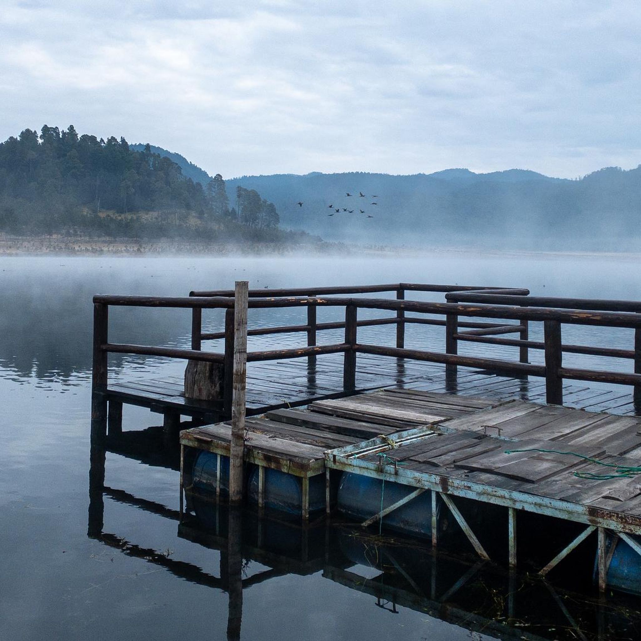
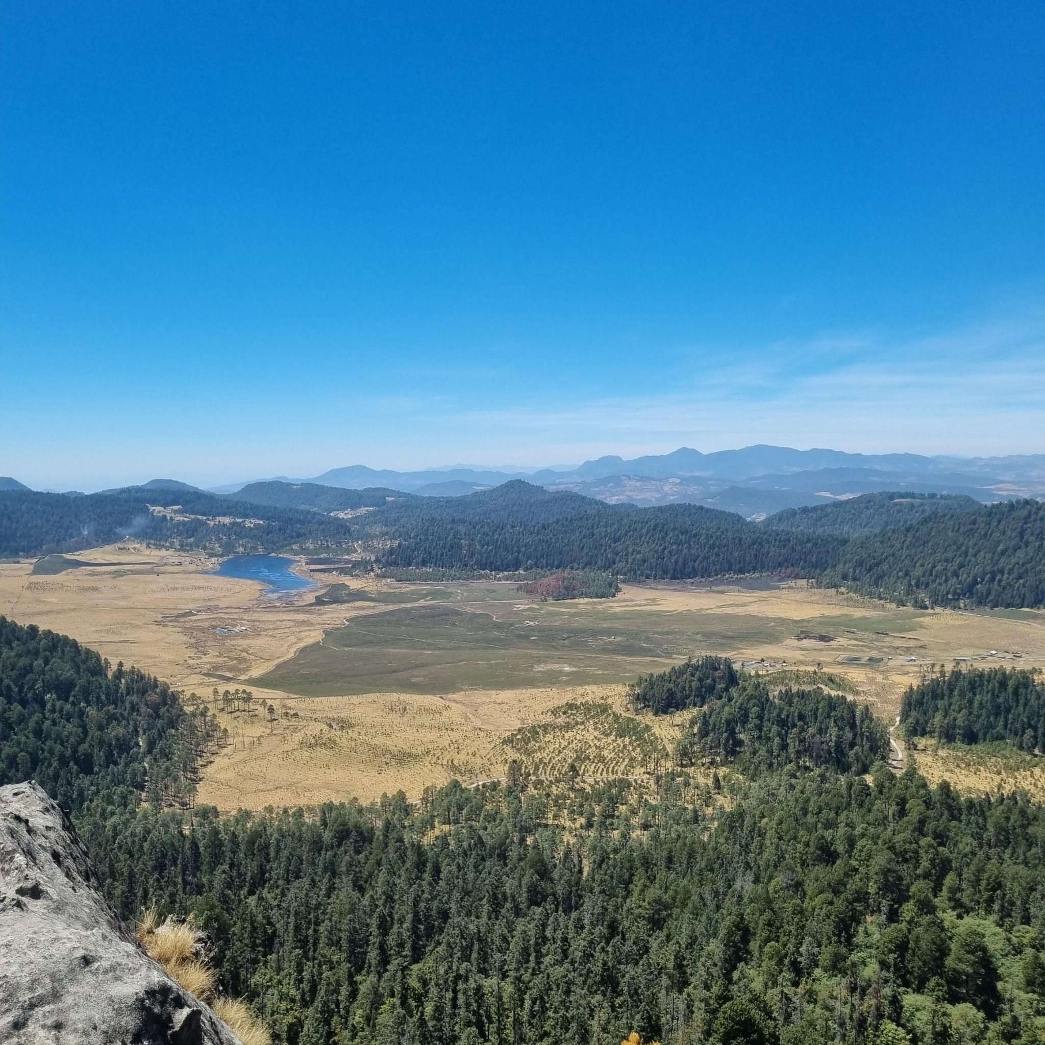
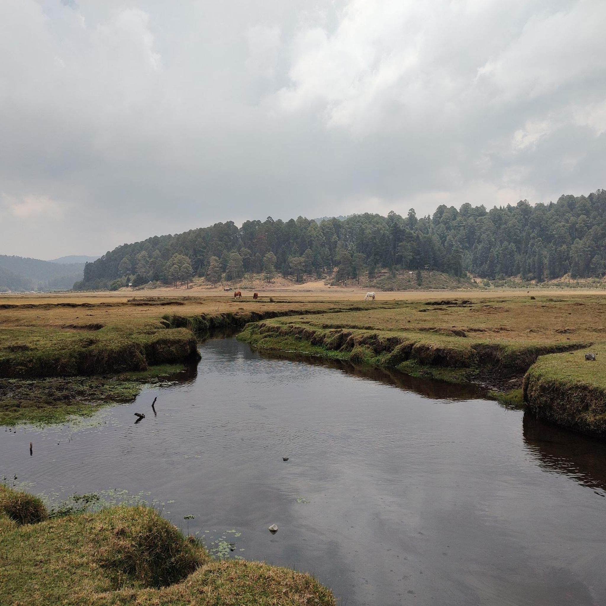
Touring cycling in Amanalco, Mexico, offers routes through the Sierra del Ajusco mountain range, characterized by extensive pine forests and diverse topography. The region features rolling hills, deep valleys, and elevations that provide varied terrain for cyclists. Abundant water sources, including springs and waterfalls, contribute to the scenic natural environment. This setting provides a compelling backdrop for exploring the area on two wheels.
Best touring cycling routes in Amanalco
- The most popular touring cycling route is El Mapa loop from…
Last updated: July 9, 2026
10
riders
62.7km
04:39
1,310m
1,310m
Hard bike ride. Very good fitness required. Mostly paved surfaces. Suitable for all skill levels.
11
riders
146km
10:42
3,360m
3,360m
Hard bike ride. Very good fitness required. Mostly paved surfaces. Suitable for all skill levels.

Sign up for free
9
riders
73.1km
05:07
1,370m
1,370m
Hard bike ride. Very good fitness required. Mostly paved surfaces. Suitable for all skill levels.
8
riders
121km
08:54
2,650m
2,650m
Hard bike ride. Very good fitness required. Mostly paved surfaces. Suitable for all skill levels.
6
riders
17.9km
01:32
410m
410m
Hard bike ride. Good fitness required. You may need to push your bike for some segments of this route.
6
riders
49.5km
03:33
900m
900m
Hard bike ride. Very good fitness required. Mostly paved surfaces. Suitable for all skill levels.
5
riders
15.5km
01:06
310m
310m
Moderate bike ride. Good fitness required. Mostly paved surfaces. Suitable for all skill levels.
Our route recommendations are based on thousands of hikes, rides, and runs completed by other people on komoot.
Start today with a free account
Your next adventure awaits.
Login or Signup

Frequently Asked Questions
How many touring cycling routes are available in Amanalco?
Amanalco offers a selection of 8 touring cycling routes documented on komoot, catering primarily to experienced cyclists with a focus on challenging terrain.
What kind of terrain can I expect on touring cycling routes in Amanalco?
Touring cycling in Amanalco features diverse terrain, including rolling hills, deep valleys, and extensive pine forests within the Sierra del Ajusco mountain range. Routes often involve significant elevation changes, providing a challenging experience for cyclists.
Are there any routes suitable for less experienced touring cyclists?
While most routes in Amanalco are rated as difficult, there is one moderate touring cycling route available: Bike loop from Valle de Bravo. This 9.6-mile (15.5 km) path offers a less strenuous option for those looking for a shorter ride.
Can I find circular touring cycling routes in Amanalco?
Yes, many of the touring cycling routes in Amanalco are designed as loops. Examples include the challenging Amanalco Central Park loop from Mesa de Jaimes, which covers 38.9 miles (62.7 km), and the longer El Mapa loop from Valle de Bravo, spanning 90.6 miles (145.8 km).
What natural attractions can I see along the touring cycling routes?
The region is rich in natural beauty. You might encounter serene water bodies like Laguna de la Virgen, nestled among pines, or impressive waterfalls such as El Salto Waterfall and San Lucas Waterfall. The Corral de Piedra Ecotourism Park also offers forested areas and natural springs.
Are there any waterfalls accessible by touring bike in the region?
Yes, the Amanalco area is known for its abundant water sources, including several waterfalls. Notable ones like El Salto Waterfall and San Lucas Waterfall are significant natural features that you might encounter or find accessible from touring routes, especially after rainfall when they are most striking.
What are some longer touring cycling routes for experienced riders?
For experienced touring cyclists seeking longer rides, consider the El Mapa loop from Valle de Bravo, a demanding 90.6-mile (145.8 km) route, or the San Antonio loop from Valle de Bravo, which is 75.2 miles (121.1 km) and features significant elevation changes through forested areas.
Are there opportunities for wildlife spotting while touring cycling in Amanalco?
Yes, the dense forests and natural parks in Amanalco offer opportunities for wildlife spotting. The region is particularly significant for monarch butterfly conservation, with nearby sanctuaries like Santuario Piedra Herrada providing a chance to witness this natural phenomenon during their migration season.
What is the best time of year for touring cycling in Amanalco?
Amanalco's higher elevations, reaching over 3,000 meters, offer cooler temperatures. Generally, the dry season (roughly November to April) provides more stable weather conditions for cycling, avoiding the heavier rains of the wet season, which can impact trail conditions, especially for touring.
Are there any ecotourism parks that support touring cyclists?
The Corral de Piedra Ecotourism Park is a significant natural attraction in the area. It features forested areas ideal for outdoor activities and offers comfortable cabins and camping opportunities, which can be convenient for touring cyclists looking for overnight stops amidst nature.
What are the elevation changes like on touring cycling routes in Amanalco?
Touring cycling routes in Amanalco are characterized by substantial elevation changes due to the region's mountainous topography. For example, the Presa Ixtapantongo loop from Mesa de Jaimes involves over 1,300 meters of ascent, making routes quite challenging and rewarding for those seeking climbs.
What makes touring cycling in Amanalco unique?
Amanalco offers a unique touring cycling experience defined by its extensive pine forests, rolling hills, and deep valleys within the Sierra del Ajusco. The combination of challenging terrain, diverse ecosystems, and abundant water features like springs and waterfalls creates a scenic and engaging backdrop for exploration on two wheels.
Most popular routes in Amanalco

Get inspired with the komoot mobile app


Explore more
Browse the best Cycling routes in other regions.
