The best MTB trails in Chimalhuacán
4.8
(14)
26
riders
1
ride
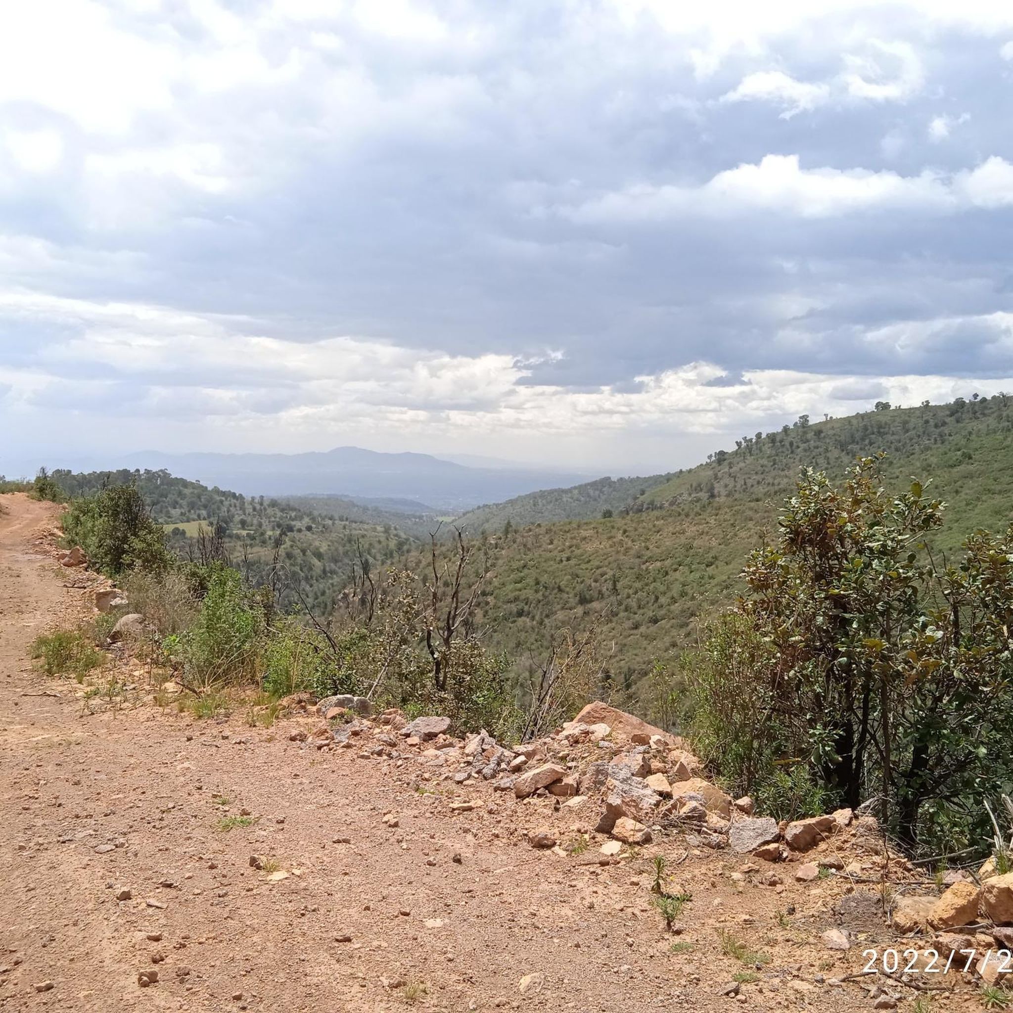
Mountain biking in Chimalhuacán offers diverse terrain primarily centered around its natural elevations and green spaces. The region is characterized by features like Cerro del Chimalhuache, a prominent hill providing varied terrain suitable for mountain biking. This area includes trails that cater to different skill levels, from calm rides to more dynamic routes. Panoramic views of the surrounding area enhance the outdoor experience.
Best mountain bike trails in Chimalhuacán
- The most popular mountain bike trail is Pantrans Truck – Cycling…
Last updated: July 9, 2026
4.7
(3)
8
riders
113km
07:58
1,870m
1,870m
Hard mountain bike ride. Very good fitness required. Suitable for all skill levels.
4.6
(9)
8
riders
36.3km
02:58
810m
810m
Moderate mountain bike ride. Good fitness required. Suitable for all skill levels.

Sign up for free
5.0
(1)
5
riders
28.0km
01:49
430m
430m
Moderate mountain bike ride. Good fitness required. Suitable for all skill levels.
2
riders
34.7km
02:04
330m
330m
Moderate mountain bike ride. Good fitness required. Suitable for all skill levels.
5.0
(1)
3
riders
Moderate mountain bike ride. Good fitness required. Suitable for all skill levels.
Our route recommendations are based on thousands of hikes, rides, and runs completed by other people on komoot.
Start today with a free account
Your next adventure awaits.
Login or Signup
Popular around Chimalhuacán
Tips from the Community


If you arrive by car to the Pluma de San Pablo Ixayoc you can leave it at the restaurant "El Venturero", from there you will walk a couple of hours to get to the Cabaña. It is the same route that is followed to go to Canoas Altas (ecotourism center) or El Tláloc (mountain and archaeological zone). A challenge for physical condition.
2
0

Panoramic view of Teotihuacán
0
0
San Juan Teotihuacán Railway Station
0
0

Frequently Asked Questions
What kind of terrain can I expect on mountain bike trails in Chimalhuacán?
Mountain bike trails in Chimalhuacán primarily center around natural elevations like the Cerro del Chimalhuache. You can expect varied terrain, ranging from calmer sections suitable for a relaxed ride to more dynamic routes that offer challenges for experienced riders. Many trails also provide panoramic views of the surrounding area.
Are there mountain bike trails suitable for beginners in Chimalhuacán?
While there are no trails specifically graded as 'easy' in our current selection, several moderate routes can be suitable for confident beginners or those looking for a balanced challenge. For example, the Oyotonco – La Cabaña de Ollantaytambo loop from Texcoco de Mora offers varied terrain without extreme difficulty.
Are there challenging mountain bike trails for experienced riders in Chimalhuacán?
Yes, experienced riders looking for a significant challenge will find options. The Pantrans Truck – Cycling Route in Rural Mexico loop from Texcoco de Mora is a difficult 70-mile (112.6 km) trail featuring substantial elevation gain through rural landscapes, designed to test endurance and skill.
Are there family-friendly mountain bike trails or areas in Chimalhuacán?
While specific mountain bike trails are not explicitly designated as 'family-friendly,' the region offers areas like the Parque Ecoturístico El Chimalhuache, located on Cerro del Chimalhuache. This park provides green spaces and recreational activities, which could serve as a base for families, with some of the calmer sections of nearby trails potentially being suitable for older children or those with some riding experience.
Are there loop trails available for mountain biking in Chimalhuacán?
Yes, many of the mountain bike routes in Chimalhuacán are designed as loops, allowing you to start and end at the same point. Examples include the Venturero Stop loop from Texcoco de Mora and the Loma el Gavilán loop from Texcoco de Mora, both offering circular routes through the local landscape.
What are some scenic viewpoints along the mountain bike trails?
The Cerro del Chimalhuache is a prominent feature in the region and offers panoramic views of the surrounding area. Many trails that traverse this hill will provide opportunities to enjoy these scenic vistas during your ride.
What do other mountain bikers enjoy most about mountain biking in Chimalhuacán?
The mountain biking experience in Chimalhuacán is highly rated by the komoot community, with an average score of 4.8 stars. Riders often praise the varied terrain, the opportunities for dynamic routes, and the scenic views offered, particularly around the Cerro del Chimalhuache.
What is the best time of year for mountain biking in Chimalhuacán?
Generally, the dry season (roughly November to May) is ideal for mountain biking in this region, as trails are less likely to be muddy and weather conditions are typically more stable and pleasant. Always check the local weather forecast before heading out.
Are there any notable natural features or attractions to explore near the trails?
The most significant natural feature is the Cerro del Chimalhuache itself, which is a hub for outdoor activities and offers varied terrain. Additionally, the Parque Ecoturístico El Chimalhuache, located on the hill, provides green areas, a pond, and other recreational facilities, making it a good spot to explore before or after your ride.
How many mountain bike trails are available in Chimalhuacán?
Our current selection features 5 distinct mountain bike trails in Chimalhuacán, offering a range of distances and difficulties for riders to explore.
Is there public transport access to the mountain bike trails in Chimalhuacán?
While specific public transport routes directly to trailheads are not detailed, Chimalhuacán has local public transport options. It is advisable to research local bus routes or taxi services that can take you closer to areas like the Cerro del Chimalhuache or the various parks, from which you can access the trails.
Are there any cafes or places to eat near the mountain bike trails?
The region, particularly around the more populated areas of Chimalhuacán and near parks like Parque Ecoturístico El Chimalhuache, will have local eateries and cafes where you can refuel. It's recommended to carry snacks and water for your ride, especially on longer routes.
Most popular routes in Chimalhuacán

Get inspired with the komoot mobile app


Explore more
Browse the best MTB trails in other regions.
