The best running trails in Дебела Гора
5.0
(1)
33
runners
5
runs
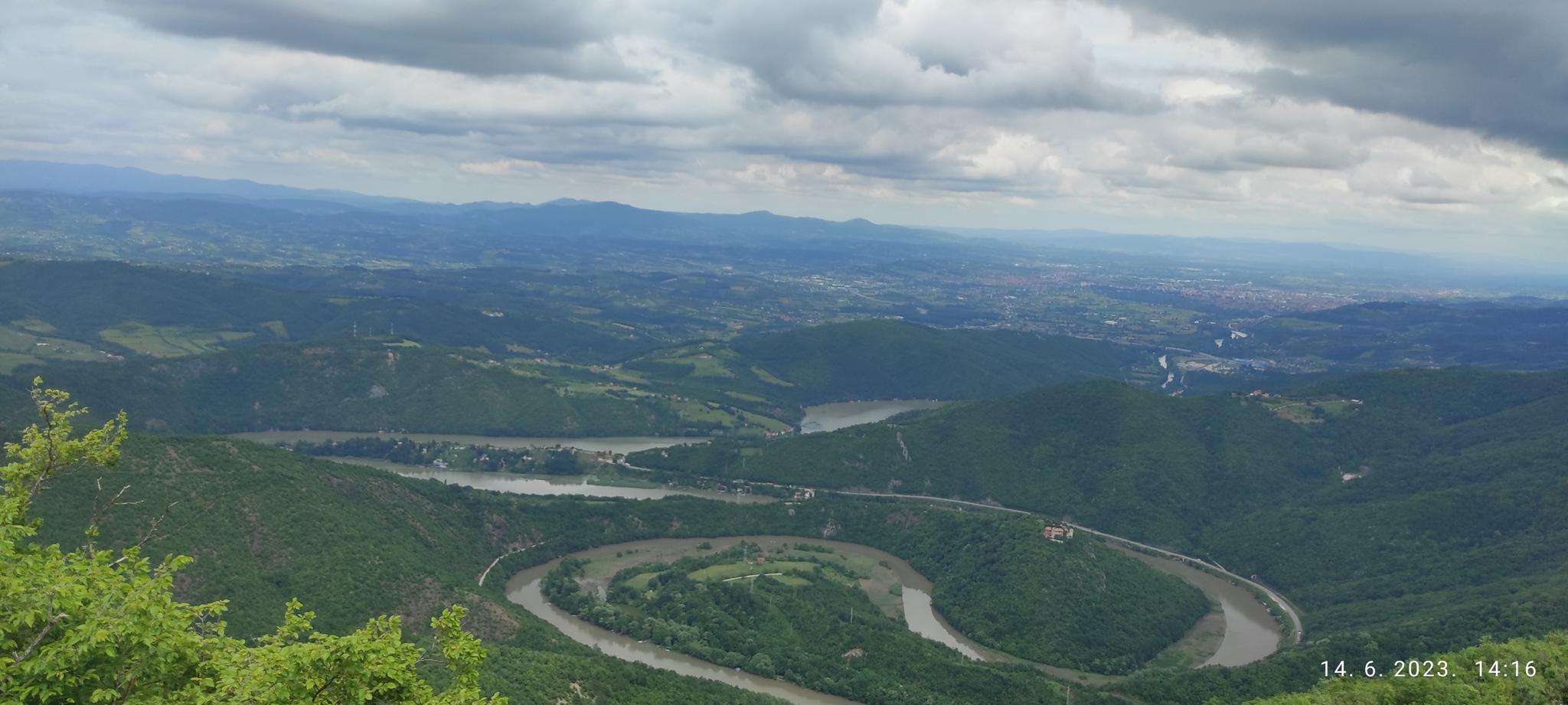
Jogging in Дебела Гора offers routes through a landscape characterized by massive Cretaceous limestones and dense forests. The region features diverse natural elements, including the Banjski Potok stream with its waterfalls. Branojevac peak, at 791 meters, is the highest point, providing a significant elevation for running challenges. The area provides varied terrain suitable for outdoor activities.
Best jogging routes in Дебела Гора
- The most popular jogging route is Каблар loop from Овчар Бања, a 7.5 miles (12.1 km) difficult…
Last updated: July 11, 2026
5
runners
26.7km
03:43
1,060m
1,070m
Hard run. Very good fitness required. Mostly paved surfaces. Suitable for all skill levels.
5
runners
10.6km
01:36
550m
560m
Hard run. Very good fitness required. Mostly paved surfaces. Suitable for all skill levels.
6
runners
10.5km
01:24
380m
380m
Hard run. Very good fitness required. Mostly paved surfaces. Suitable for all skill levels.
Get access to more routes and recommendations from other explorers.
Sign up for free
Already have an account?
Our route recommendations are based on thousands of hikes, rides, and runs completed by other people on komoot.
Start today with a free account
Your next adventure awaits.
Login or Signup
Popular around Дебела Гора
Frequently Asked Questions
What types of running routes can I find in Дебела Гора?
Дебела Гора offers a variety of running routes, primarily characterized by forested mountain slopes, limestone formations, and scenic stream valleys. While all routes listed in this guide are rated as difficult, the region generally provides options for various ability levels, including some easier paths suitable for all fitness levels, typically under 2 hours in duration.
Are there any running routes that feature waterfalls or natural streams?
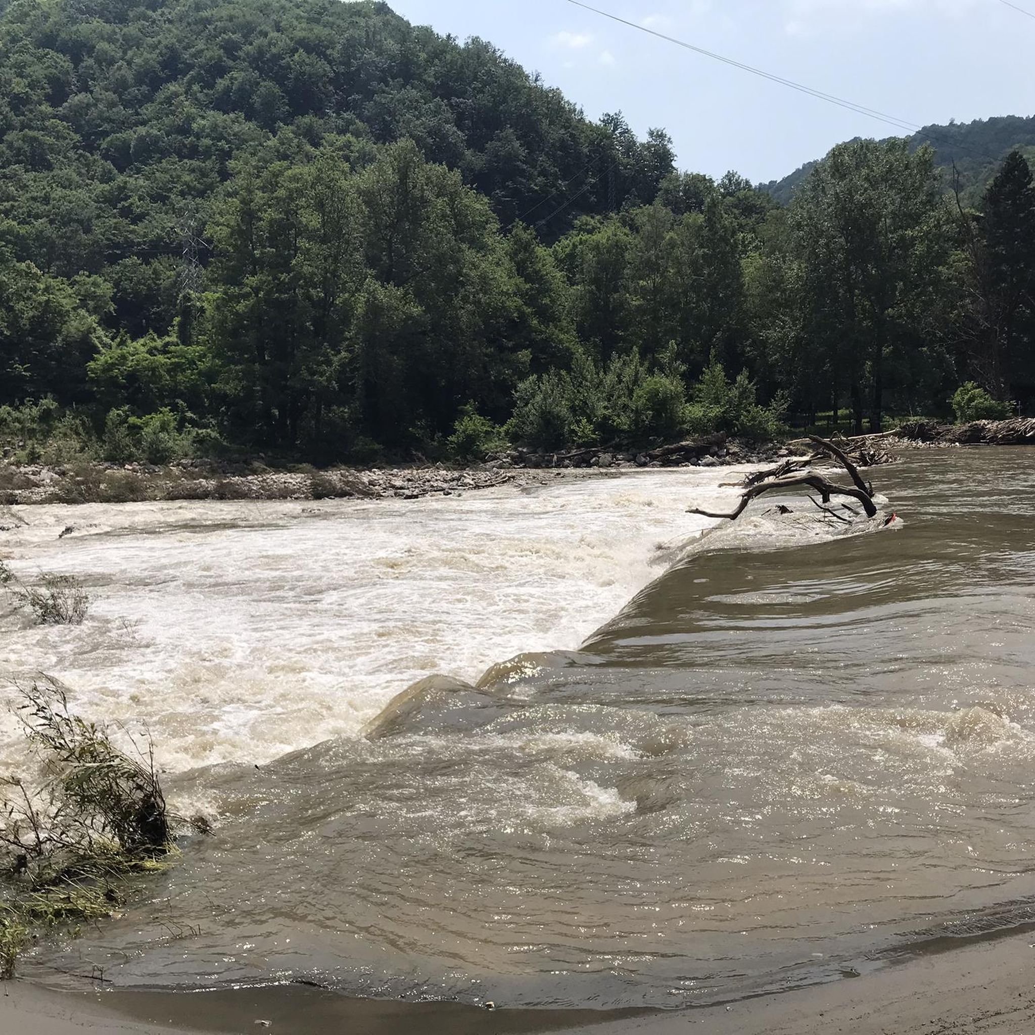
Yes, the region is known for the Banjski Potok stream and its waterfalls. You can explore these natural features on routes like Каблар – Бањски поток loop from Овчар Бања, which is a challenging 16.6-mile (26.7 km) path.
What are some notable natural attractions or landmarks to see while running in Дебела Гора?
Beyond the scenic landscapes, a key attraction is the Kađenica cave, which is accessible via a marked trail from Ovčar Banja. This trail also connects to the waterfalls on Banjski Potok, offering a combination of natural wonders. The highest point, Branojevac peak (791 meters), is also a significant feature, though its forested summit may obscure expansive views.
Are there any circular running routes in Дебела Гора?
Yes, many of the routes in Дебела Гора are designed as loops, allowing you to start and finish in the same location. Examples include Каблар loop from Овчар Бања and Планинарски дом ПД „Каблар“ loop from Овчар Бања.
What is the general difficulty level of running trails in Дебела Гора?
Based on the routes highlighted, the trails in Дебела Гора can be quite challenging. For instance, the Каблар loop from Овчар Бања is a difficult 7.5-mile (12.1 km) trail with significant elevation gain. However, the region also offers easier options for those seeking less strenuous runs.
What do other runners say about their experience in Дебела Гора?
The running routes in Дебела Гора are highly rated by the komoot community, with an average score of 5.0 stars. Over 30 runners have used komoot to explore the varied terrain, often praising the forested mountain slopes and diverse natural elements.
Are there any long-distance running options for experienced runners?
Yes, for those seeking a longer challenge, the Каблар – Бањски поток loop from Овчар Бања is a difficult 16.6-mile (26.7 km) path that explores the Banjski Potok stream and its waterfalls, providing a substantial workout.
Is there public transport access to the running trails in Дебела Гора?
Many of the listed running routes, such as those starting from Ovčar Banja, are accessible from this location. While specific public transport details are not provided, Ovčar Banja serves as a common starting point, suggesting potential accessibility.
Are there any running routes suitable for families or beginners?
While the routes highlighted in this guide are rated as difficult, regional research indicates that Дебела Гора does offer 'easy' options suitable for all fitness levels, typically under 2 hours in duration and with manageable elevation gains. These would be more appropriate for families or beginner runners.
What is the highest point I might encounter on a running route in Дебела Гора?
The highest point in Дебела Гора is Branojevac peak, reaching an altitude of 791 meters. A specific marked trail from Ovčar Banja to Branojevac peak is approximately 9.3 kilometers long with an elevation difference of about 300 meters, offering a substantial yet manageable route for joggers.
Can I find routes that offer good viewpoints or scenic vistas?
Дебела Гора is characterized by diverse natural features, including limestone formations and stream valleys, which offer scenic beauty. While Branojevac peak is forested, many trails wind through picturesque landscapes, providing enjoyable views of the natural environment.
Are there any specific routes that lead through dense forested areas?
Yes, the region is known for its dense forests. The Планинарски дом ПД „Каблар“ loop from Овчар Бања is a 6.6-mile (10.6 km) trail that leads through forested areas, offering a shaded and immersive running experience.
Most popular routes in Дебела Гора

Get inspired with the komoot mobile app


Explore more
Browse the best Running Trails & Routes in other regions.
