The best running trails in Клувията - Дива Вода
4.7
(4)
143
runners
9
runs
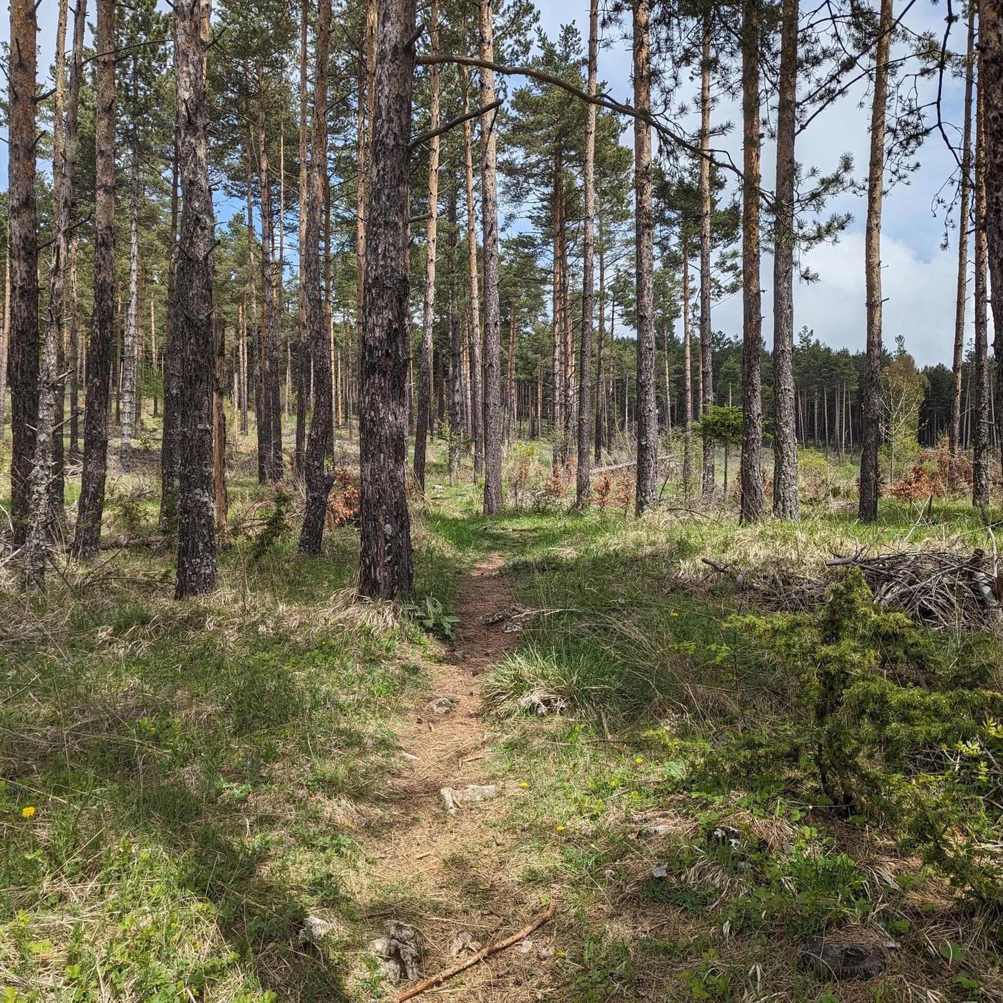
Jogging routes in Клувията - Дива Вода traverse a landscape characterized by lush green forests, riverine scenery, and significant elevation changes within the "Chervenata Stena" biosphere reserve. The area features numerous waterfalls, erosion cauldrons, and high cliffs offering panoramic mountain views. Trails often follow the meandering Kluvieska River, providing a refreshing environment for running amidst diverse natural features. The terrain includes both riverside paths and challenging mountain ascents.
Best jogging routes in Клувията - Дива Вода
- The most popular jogging…
Last updated: July 11, 2026
7
runners
12.3km
02:30
1,080m
1,080m
Hard run. Very good fitness required. Sure-footedness, sturdy shoes and alpine experience required.
14
runners
9.61km
01:22
380m
380m
Hard run. Very good fitness required. Mostly paved surfaces. Suitable for all skill levels.

Sign up for free
4.0
(1)
30
runners
9.44km
01:26
500m
500m
Hard run. Very good fitness required. Mostly paved surfaces. Suitable for all skill levels.
9
runners
28.2km
04:08
1,360m
1,360m
Hard run. Very good fitness required. Mostly accessible paths. Some sure footedness required.
5.0
(1)
3
runners
11.4km
01:36
510m
510m
Hard run. Very good fitness required. Mostly paved surfaces. Suitable for all skill levels.
Get access to more routes and recommendations from other explorers.
Sign up for free
Already have an account?
Our route recommendations are based on thousands of hikes, rides, and runs completed by other people on komoot.
Start today with a free account
Your next adventure awaits.
Login or Signup
Popular around Клувията - Дива Вода
Tips from the Community

Frequently Asked Questions
How many running routes are available in Клувията - Дива Вода?
There are 9 dedicated running routes in Клувията - Дива Вода, offering a variety of experiences for joggers. These routes are generally rated as difficult, providing a good challenge for experienced runners.
What kind of terrain can I expect on the jogging trails in Клувията - Дива Вода?
The terrain in Клувията - Дива Вода is characterized by lush green forests, riverine scenery, and significant elevation changes within the "Chervenata Stena" biosphere reserve. You'll find paths following a meandering river, offering a refreshing environment, alongside more challenging mountainous sections with high cliffs and panoramic views.
Are there any circular running routes in the area?
Yes, many of the routes in Клувията - Дива Вода are circular. For example, the Кутра loop from Asenovgrad is a difficult 6.0 miles (9.6 km) path with varied terrain and notable elevation gain, perfect for a challenging loop run.
What natural features or landmarks can I see while jogging?
Joggers can enjoy the sight and sound of the Bachkovo Waterfalls on the Kluviyska River. Further into the valley, there's a series of impressive erosion cauldrons. The region also offers panoramic views of surrounding mountain ranges, including the "Red Wall" peak, and is home to sacred springs and ancient sycamore trees.
What is the best time of year for running in Клувията - Дива Вода?
The area is particularly beautiful in spring, when the forests are vibrant green and filled with pleasant aromas from flowers and trees, and the waterfalls are abundant. However, the diverse trails are suitable for outdoor activities throughout much of the year, depending on weather conditions and personal preference.
Are there any family-friendly running options?
While many routes in Клувията - Дива Вода are rated as difficult due to significant elevation changes, the region does offer a variety of trails. Some paths along the river might be more accessible for families looking for a less strenuous jog, though specific 'easy' rated running routes are not prominent in the guide data. It's best to check individual route details for suitability.
Can I bring my dog on the running trails?
The Клувията - Дива Вода area is generally welcoming to outdoor enthusiasts, and many natural trails are suitable for dogs. However, it's always recommended to keep your dog on a leash, especially in protected areas like the "Chervenata Stena" biosphere reserve, and to be mindful of other trail users and wildlife.
What are the typical distances and elevations for runs in this region?
The running routes in Клувията - Дива Вода vary significantly. For instance, the View from Anatema Peak – View from St. Elijah Chapel loop from кв. Горни Воден is a substantial 16.3 miles (26.3 km) with over 1270 meters of elevation gain, while the View from Anatema Peak – View from St. Elijah Chapel loop from Asenovgrad covers 9.4 miles (9.4 km) with nearly 500 meters of ascent. Most routes feature notable elevation changes.
Is there parking available near the trailheads?
The region is located near the Bachkovo Monastery, which is a popular starting point for many trails. Parking facilities are generally available in such popular tourist areas, making it convenient to access the running routes. Specific parking details for each trailhead may vary.
What do other runners say about the trails in Клувията - Дива Вода?
The running routes in Клувията - Дива Вода are highly rated by the komoot community, with an average score of 4.7 stars from over 4 reviews. More than 130 runners have used komoot to explore the varied terrain, often praising the lush forests, river valleys with waterfalls, and challenging mountain ascents that define the experience.
Are there any particularly challenging running routes for experienced athletes?
Absolutely. The routes in Клувията - Дива Вода are predominantly rated as difficult. For a significant challenge, consider the Безово – Червената стена loop from Asenovgrad, which spans 28.2 km (17.5 miles) and involves over 1359 meters of elevation gain, leading towards the "Red Wall" peak.
Can I access the running routes using public transport?
The region is situated near the Bachkovo Monastery, which is a well-known landmark. Public transport options, such as buses, typically serve popular destinations like the monastery, providing a potential way to reach the vicinity of the running trails. It's advisable to check local bus schedules for specific routes and timings.
Most popular routes in Клувията - Дива Вода

Get inspired with the komoot mobile app


