The best cycling routes in Nairn Falls Provincial Park
5.0
(2)
37
riders
3
rides
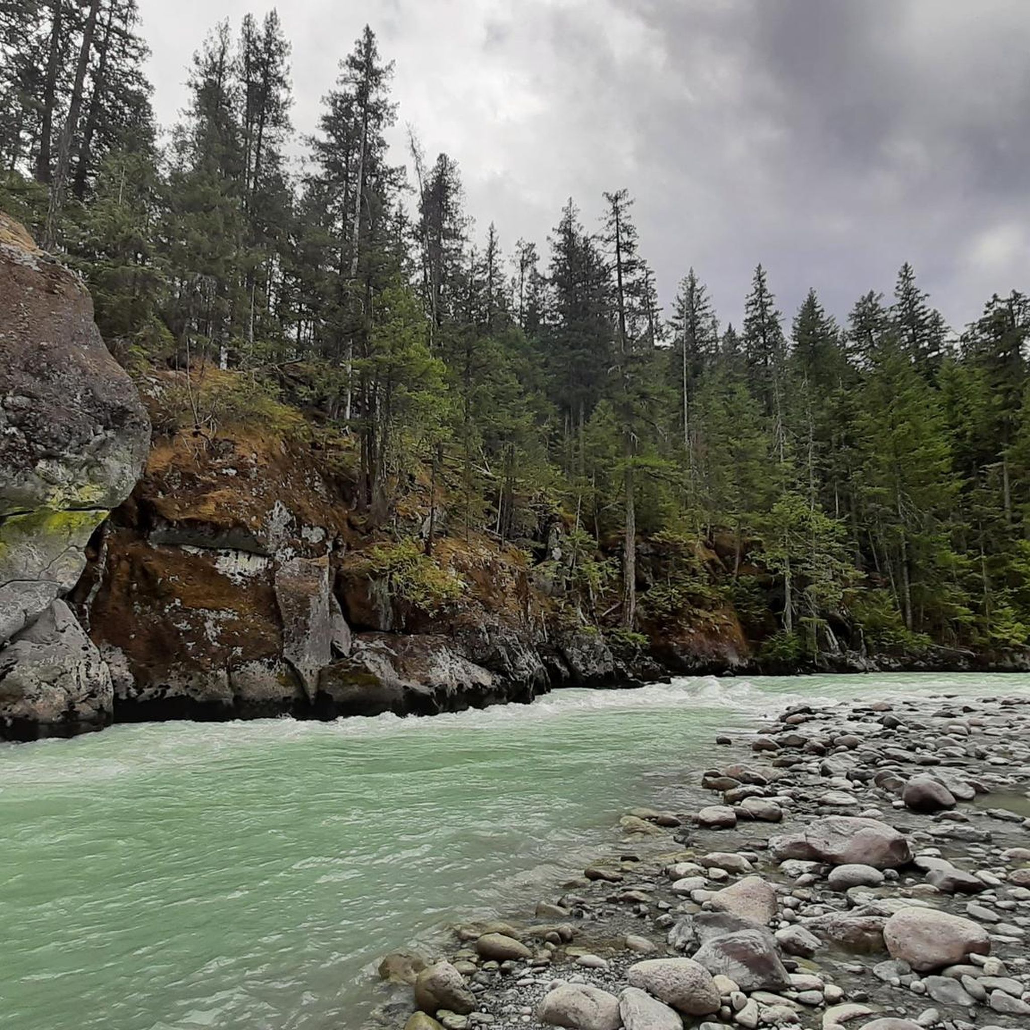
Touring cycling in Nairn Falls Provincial Park offers routes through a diverse landscape of mixed forests, primarily composed of western hemlock, western redcedar, and coastal Douglas fir. The park, spanning 171 hectares, is situated along the Green River, which carves a narrow canyon featuring the Nairn Falls. The area provides access to the extensive Sea to Sky Trail network and connects to the wider Pemberton Valley, making it a strategic base for exploring the region's varied terrain.
Best touring cycling routes in Nairn Falls Provincial Park
- The most popular touring cycling route is Ryan River loop from Pemberton Station, an easy 11.3 miles (18.2 km) trail that takes 1 hour 2 minutes to complete. This route offers a gentle ride through the valley near Pemberton.
- Another top favourite among local touring cyclists is Nimby loop from Pemberton, a difficult 14.6 miles (23.4 km) path. This route features varied terrain and elevation changes around the Pemberton area.
- Local touring cyclists also love the Sea to Sky trail – Nairn Falls Lookout loop from Alpine Meadows, a 37.2 miles (59.9 km) trail leading through the broader Sea to Sky Trail network, often completed in about 4 hours 7 minutes.
- Touring cycling in Nairn Falls Provincial Park is defined by mixed forests, the Green River valley, and connections to the Sea to Sky Trail. The network offers options for both easy rides and more challenging routes with significant elevation gain.
- The routes in Nairn Falls Provincial Park are highly rated by the komoot community with an average score of 5.0 stars from 1 review. More than 30 touring cyclists have used komoot to explore Nairn Falls Provincial Park's varied terrain.
Last updated: July 12, 2026
6
riders
18.2km
01:03
50m
50m
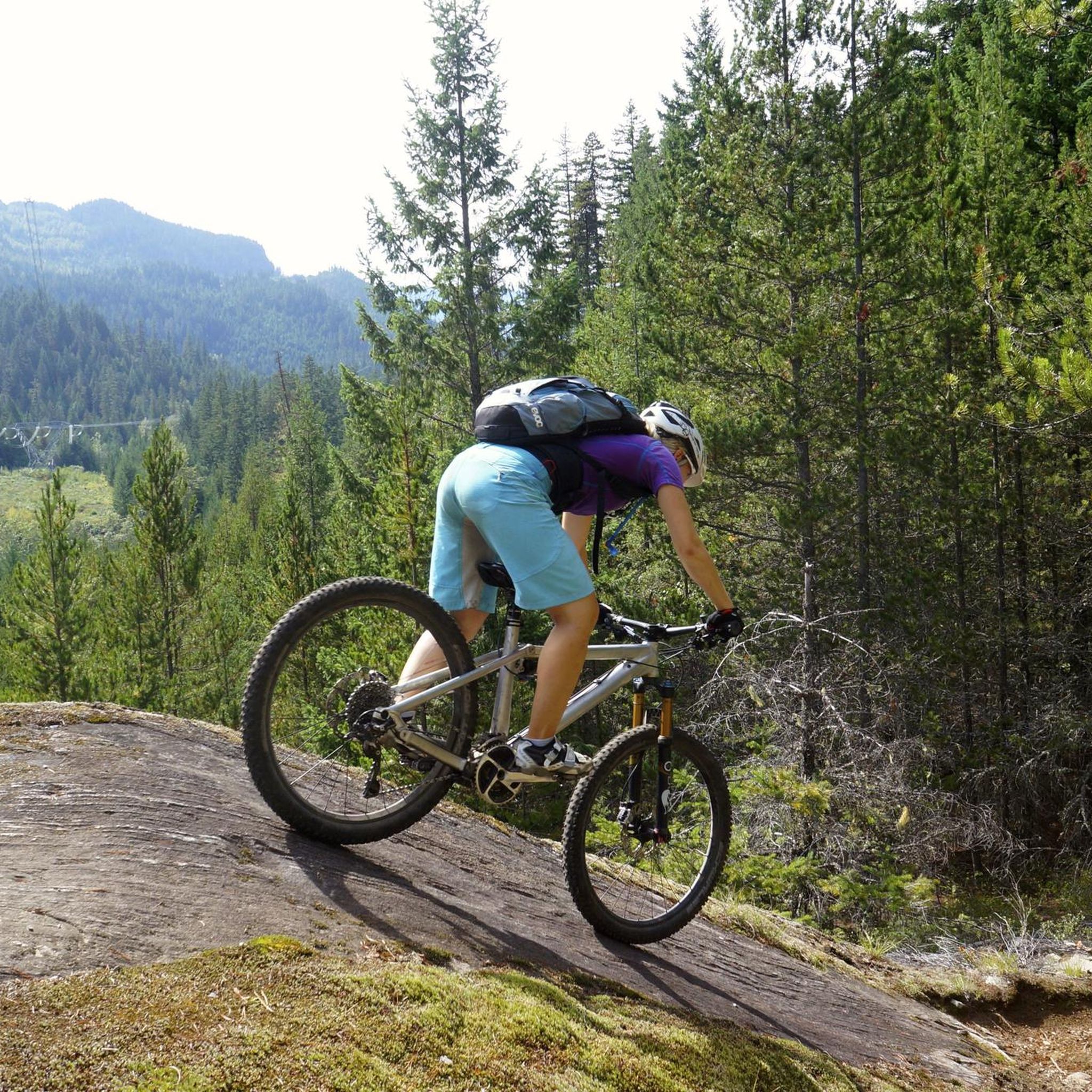
Easy bike ride. Great for any fitness level. Mostly paved surfaces. Suitable for all skill levels.
3
riders
23.4km
01:38
290m
290m
Hard bike ride. Good fitness required. You may need to push your bike for some segments of this route.

Sign up for free
5.0
(1)
36
riders
61.0km
04:11
930m
930m
Hard bike ride. Very good fitness required. Mostly paved surfaces. Suitable for all skill levels.
Our route recommendations are based on thousands of hikes, rides, and runs completed by other people on komoot.
Start today with a free account
Your next adventure awaits.
Login or Signup

Other adventures in Nairn Falls Provincial Park

Tips from the Community

There is very little of Nairn Falls to be seen from the roadside. If you want to see the falls, go into the provincial park parking lot and take a hike.
0
0

On the trail to Nairn Falls from the parking lot on Highway 99, there are many opportunities to catch a glimpse of the rushing Green River. Occasionally, speedboats carrying tourists pass by on their way to the waterfall.
2
0

fill your bottles with icy cold water from the drinks fountain
0
0

Green Lake was developed in the first half of the 20th century. Originally, it was a mainly agricultural area. Over time, the local community saw the recreational and tourism potential of the area. In the 1950s, the golf course was built and the seaplane airfield established to attract more visitors and improve the connectivity of the region. Since then, Green Lake has evolved to become a popular destination for locals and tourists alike, maintaining a balance between its natural beauty and activities. You can go around it on MTB.
3
0
Green Lake is a moderate-sized lake stretching approximately 1.2 km long and 0.8 km wide, covering an area of around 96 hectares.
3
0

The hiking trail to the waterfalls is a small highlight We recommend
1
0

The Green River has its origins in 633 m high Green Lake north of Whistler in the Pacific Ranges, a part of the Coast Mountains. It leaves the lake at its northern end and flows initially in predominantly northern, later in an easterly direction through the mountains. From the left, the Green River flows into the rivers Soo River and Rutherford Creek. Then the Green River at Nairn Falls Provincial Park overcomes the Nairn Falls. The Green River finally reaches the Pemberton Valley and flows 6 km east-southeast of Pemberton in the Lillooet River. The British Columbia Highway 99 (Whistler-Pemberton) follows the course of the river from Green Lake to Pemberton.
2
0

Right on the roadside, you can stop here for a short while and take a look at the Nairn Falls.
1
0
Frequently Asked Questions
How many touring cycling routes are available in Nairn Falls Provincial Park?
Nairn Falls Provincial Park offers several touring cycling routes, with over 3 options currently available on komoot. These routes cater to various skill levels, including easy and difficult rides.
What are the main natural features to see while cycling in Nairn Falls Provincial Park?
The park is renowned for its dramatic Nairn Falls, where the Green River cascades 60 meters through a narrow canyon, creating unique potholes. You'll also experience mixed forests of western hemlock, redcedar, and Douglas fir, and can enjoy views of the clear, green waters of the Green River itself.
Are there any easy touring cycling routes suitable for beginners or families?
Yes, there is an easy touring cycling route available. The Ryan River loop from Pemberton Station is an easy 18.2 km trail offering a gentle ride through the valley near Pemberton. Additionally, the flat, gravel roads within the park's campground area are suitable for children and casual rides.
Can I connect to longer cycling networks from Nairn Falls Provincial Park?
Absolutely. The park is a significant point along the extensive 180-kilometer Sea to Sky Trail, which offers a massive car-free network for cyclists. A popular route that utilizes this network is the Sea to Sky trail – Nairn Falls Lookout loop from Alpine Meadows.
What is the best time of year for touring cycling in Nairn Falls Provincial Park?
The best time for touring cycling is generally from late spring through early autumn, typically May to October. During these months, the weather is milder, and trails are usually free of snow, offering optimal conditions for exploring the park's diverse landscapes.
Are there any specific viewpoints or scenic spots along the cycling routes?
While cycling, you'll encounter scenic views of the Green River and the surrounding forests. The main highlight is the Nairn Falls themselves, accessible via a short trail from the park, which offers fenced-in lookouts to admire the powerful double waterfalls. The Sea to Sky trail – Nairn Falls Lookout loop from Alpine Meadows specifically includes a lookout point.
Is there parking available for cyclists at Nairn Falls Provincial Park?
Yes, parking is available. The Nairn Falls Trailhead Parking is a designated area for visitors, providing convenient access to the park's trails and facilities.
What do other touring cyclists enjoy most about touring cycling in Nairn Falls Provincial Park?
The area is highly rated by the komoot community, with an average score of 5.0 stars. Reviewers often praise the park's stunning natural beauty, including the iconic waterfalls and lush forests, as well as the excellent cycling infrastructure and connections to broader trail networks like the Sea to Sky Trail.
Are there any challenging touring cycling routes for experienced riders?
Yes, for experienced riders seeking a challenge, the park offers more difficult options. The Nimby loop from Pemberton is a difficult 23.4 km path featuring varied terrain and significant elevation changes around the Pemberton area. The Sea to Sky trail – Nairn Falls Lookout loop from Alpine Meadows is also rated difficult, covering nearly 60 km with substantial elevation gain.
Can I find places to eat or stay near Nairn Falls Provincial Park?
While the park itself has a well-maintained campground with over 90 sites and a day-use area with picnic tables, for cafes, pubs, and restaurants, you would need to venture to nearby Pemberton, which is only about 4 km south of the park. Whistler, approximately 29 km south, also offers a wide range of amenities.
Are there any other activities or attractions near the cycling routes?
Beyond cycling, you can visit Nairn Falls, explore the Green River, or relax at the Small Beach on the River. The One Mile Lake Trail connects the park to One Mile Lake, a popular spot for swimming and picnicking, where stand-up paddleboards are available for rent during summer.
Most popular attractions in Nairn Falls Provincial Park

Get inspired with the komoot mobile app


Explore more
Browse the best Cycling routes in other regions.
