The best cycling routes in Estrella Mountain Regional Park
44
riders
10
rides
If you've ever tried planning touring cycling in Estrella Mountain Regional Park, you know how many routes pop up, making it tough to figure out which ones are truly worth your time and effort. It's easy to get lost in the sheer volume of options, wondering which trails offer the best views or the most enjoyable ride. That's where we come in: our komoot community has ridden, mapped, and reviewed these routes, so we've curated a shortlist of the absolute best to save you the guesswork.
Touring cycling in Estrella Mountain Regional Park is all about embracing the Sonoran Desert landscape, with the dramatic Sierra Estrella mountains as your backdrop. You'll find a mix of traffic-free paved paths and smoother gravel sections, offering everything from easy spins to more demanding routes with rolling hills. The park's location near the Gila and Agua Fria Rivers also means unique riparian areas. For the most comfortable riding, we highly recommend visiting during the cooler months, typically from fall through spring (October to April).
If you only do one route, make it the Rainbow Valley Trail loop from Fee Booth, a moderate 9.7 miles (15.6 km) that gives you a fantastic taste of the desert flora without being overly strenuous. For something a bit more challenging, the Baseline Trail – Rainbow Valley Trail loop from Fee Booth offers a moderate 12.6 miles (20.3 km) with more elevation gain, perfect for stretching your legs. With over 40 touring cycling routes mapped by our community, you're sure to find your next favorite ride here.
Last updated: June 2, 2026
6
riders
10.8km
01:04
130m
130m
Easy bike ride. Great for any fitness level. Mostly paved surfaces. Suitable for all skill levels.
5
riders
20.8km
02:00
270m
270m
Moderate bike ride. Good fitness required. Mostly paved surfaces. Suitable for all skill levels.

Sign up for free
5
riders
The Toothtaker Trail loop from Casey Abbott Semi-Regional Park offers a demanding 23.8-mile (38.3 km) touring cycling experience through the arid beauty of Estrella Mountain Regional Park. You'll traverse long desert stretches, sandy arroyos, and rocky sections, with gradual climbs totaling 1671 feet (509 metres) of elevation gain. The route provides expansive views of distant purple mountains and the White Tank Mountains, especially from higher points like a boulder-laden crest. Expect a ride that feels remote and wild, despite its proximity to West Phoenix. This difficult route is best for riders with robust touring bikes or mountain bikes, prepared for a 3-hour and 48-minute adventure.
Access to the Toothtaker Trail is straightforward from Casey Abbott Semi-Regional Park. Given the desert climate, it's crucial to carry ample water, especially during warmer periods. Planning your ride for the cooler morning or late afternoon hours, or during the milder seasons, will enhance your enjoyment of this challenging route. There are no specific permit requirements mentioned, but always check park advisories before heading out.
This trail is a prime example of the extensive network within Estrella Mountain Regional Park, a nearly 20,000-acre desert sanctuary teeming with saguaros and cactus-studded hills. It connects to other trails like Gadsden and Butterfield, allowing for varied loop combinations. The park's tranquil setting offers a genuine wilderness feel, making it a notable destination for those seeking a rugged desert cycling experience in Goodyear, Arizona.
3
riders
Moderate bike ride. Good fitness required. Mostly paved surfaces. Suitable for all skill levels.
4
riders
12.4km
01:13
150m
150m
The Rainbow Valley Trail loop from Casey Abbott Semi-Regional Park offers a true desert experience, winding through a rugged landscape dotted with saguaro cacti and green shrubs. While it provides scenic views of the western foothills of Estrella Mountain Regional Park and distant vistas of Goodyear, the trail is predominantly singletrack with sections of light sand, loose rock, and wash crossings. This 7.7-mile (12.4 km) route, with 499 feet (152 metres) of elevation gain and an estimated 1 hour and 13 minutes duration, is rated moderate, but its challenging terrain makes it best suited for mountain bikes rather than traditional touring bicycles.
Planning your visit requires an understanding of the desert environment; always carry plenty of water, especially outside of cooler seasons. The trail is part of a larger system within Estrella Mountain Regional Park, allowing for longer cross-country loops if you wish to extend your ride. While specific parking at Casey Abbott Semi-Regional Park isn't detailed, arriving early is always a good strategy to ensure a spot and enjoy the trail's solitude.
This trail is notable for its pristine desert scenery and its role as a popular bypass within the Estrella Mountain Regional Park's interconnected trail system. Extensively redeveloped in 2013, it's known for offering a sense of quiet, particularly as you venture towards its southern end. It's a great option for experienced mountain bikers looking for a moderate challenge and a genuine taste of the Arizona desert.
Get access to more routes and recommendations from other explorers.
Sign up for free
Already have an account?
Our route recommendations are based on thousands of hikes, rides, and runs completed by other people on komoot.
Start today with a free account
Your next adventure awaits.
Login or Signup
Popular around Estrella Mountain Regional Park
Tips from the Community

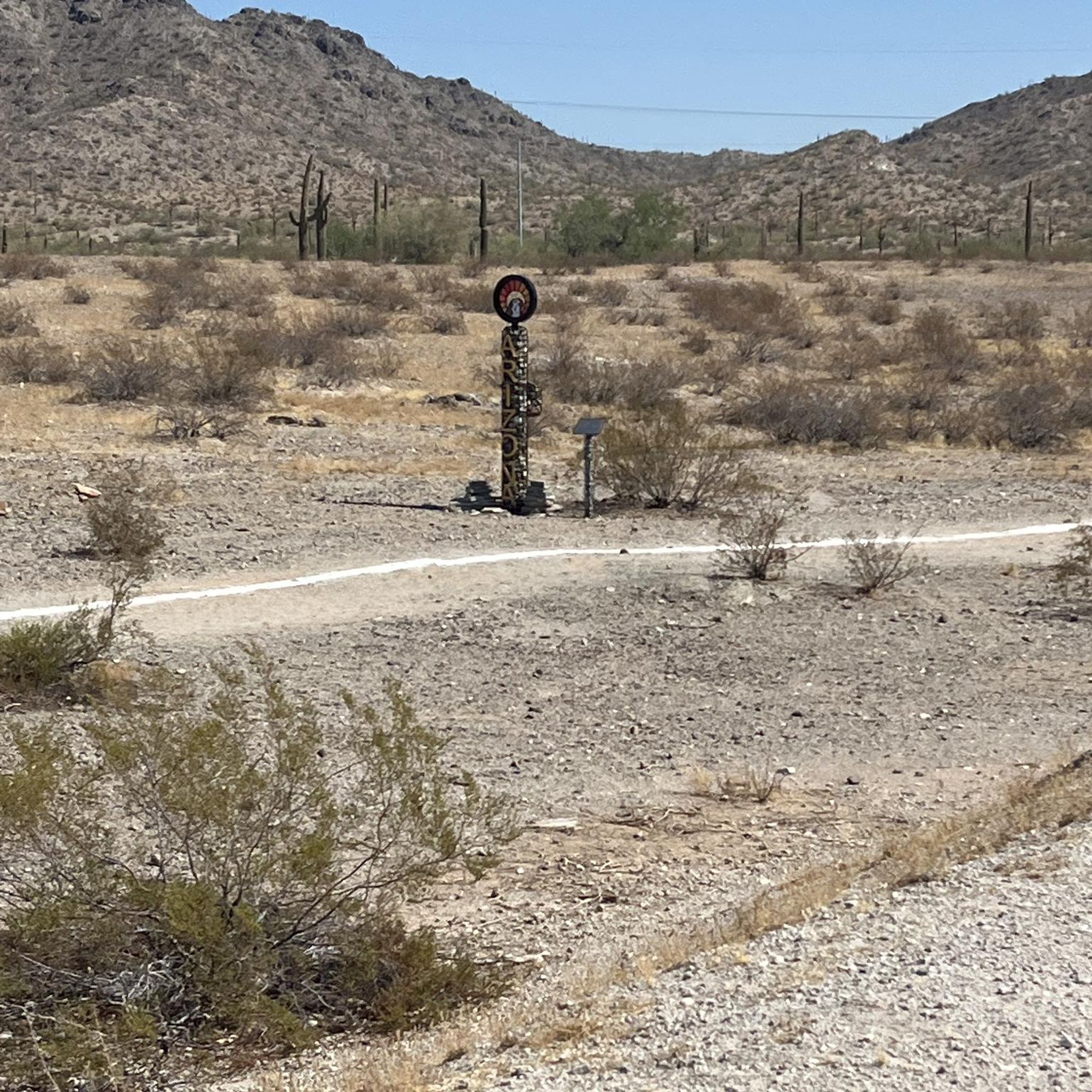
It's rough, it's rocky, and in some sections it's loose, but that desert riding. If you want a technical challenge then this is a good option, not a lot of flowy sections but plenty of tough lines to test your skill.
0
0
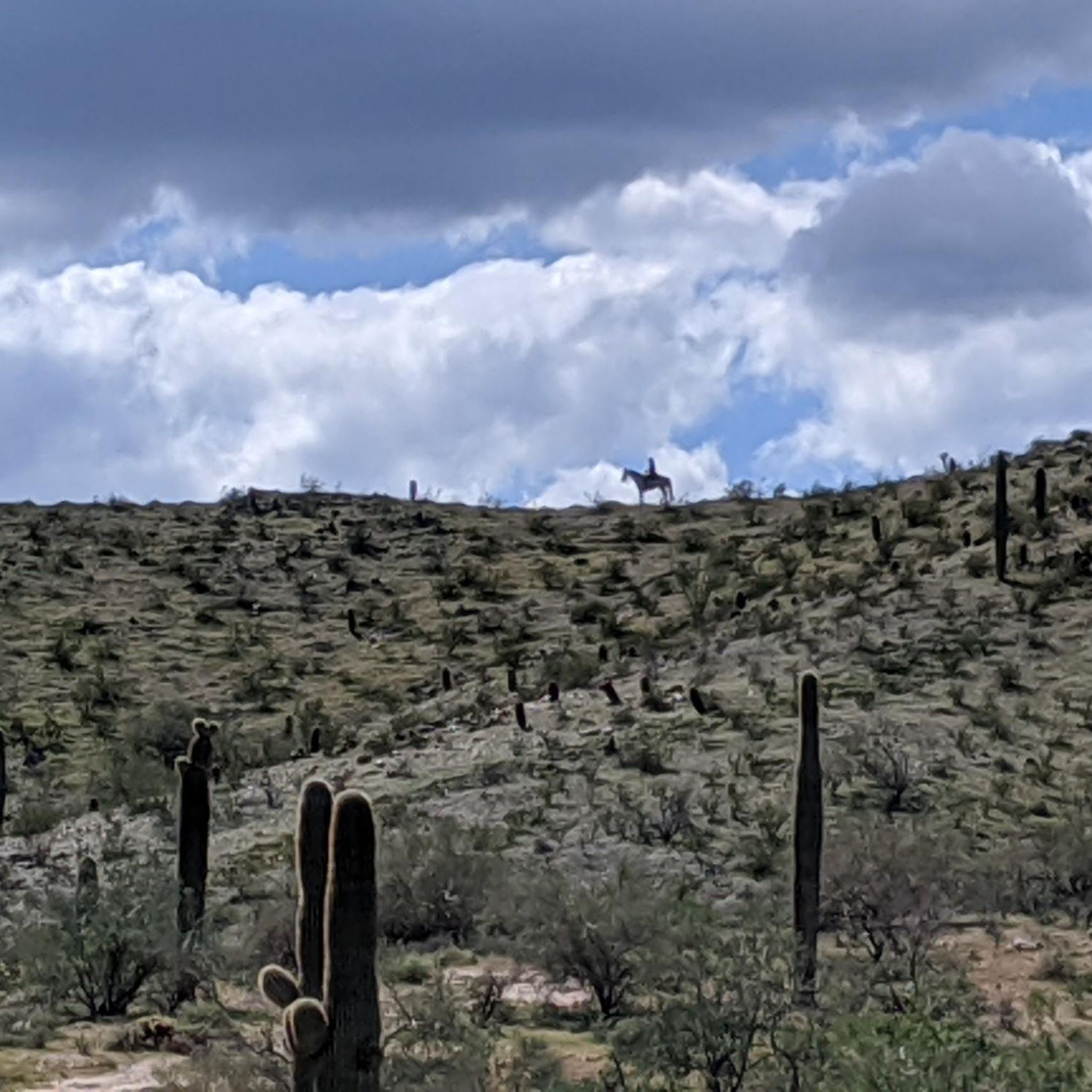
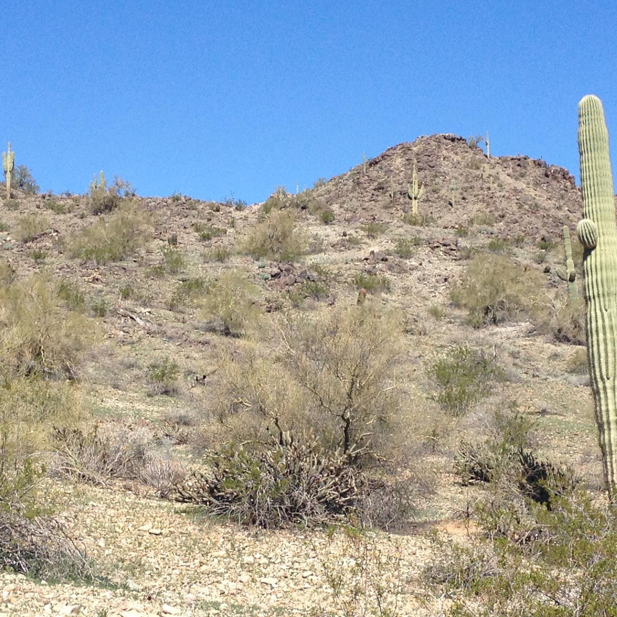
This is desert riding at its finest. Rocks, cacti, tight turns, and beautiful mountain views are everywhere on this trail. There are a few sections that might require hike-a-bike but there are also a few benches to get some rest and enjoy the scenery.
0
0

Toothaker Trail gets its name from how rocky the trail is. Mountain bikers, hikers, and runners all use the trail, but you can still find solitude on a lot of days. This section of trail has lots of open views and can be connected to a lot of other trails in the park.
0
0
Toothaker Trail gets its name from how rocky the trail is. Mountain bikers, hikers, and runners all use the trail, but you can still find solitude on a lot of days. This section of trail has lots of open views and can be connected to a lot of other trails in the park.
0
0
Rainbow Valley Trail is one of many trails in Estrella Mountain Regional Park. The trail follows the foothills of the uprising while gaining and losing elevation throughout.
0
0
Frequently Asked Questions
How many touring cycling routes are available in Estrella Mountain Regional Park?
Estrella Mountain Regional Park offers a variety of touring cycling routes. There are currently 11 routes available on komoot, ranging in difficulty from easy to moderate. This includes 6 easy routes, 4 moderate routes, and 1 difficult route, providing options for different skill levels.
What kind of terrain can I expect on touring cycling routes in Estrella Mountain Regional Park?
The terrain for touring cycling in Estrella Mountain Regional Park is diverse. You'll find paved roads within the developed areas of the park, which are ideal for traditional touring bikes. Additionally, the park connects to the broader Maricopa Trail system, which includes segments suitable for touring bicycles, some of which are paved or well-maintained gravel. While some internal multi-use trails can be rugged with loose stones, sand, and rocky sections, routes like Rainbow Valley Trail loop from Fee Booth traverse multi-use trails that include paved sections, offering a mix of surfaces.
Are there any easy touring cycling routes suitable for beginners or families?
Yes, Estrella Mountain Regional Park has several easy touring cycling routes perfect for beginners or families. For example, the Toothtaker Trail – Rainbow Valley Trail loop from Casey Abbott Semi-Regional Park is an easy 7.6-mile (12.3 km) route. Another accessible option is the Bike loop from Estrella, which is also rated as easy and covers 8.7 miles (13.9 km).
Can I find circular touring cycling routes in Estrella Mountain Regional Park?
Yes, many of the touring cycling routes in Estrella Mountain Regional Park are designed as loops, allowing you to start and end at the same point. Popular circular routes include the Bike loop from Maricopa Village, which is 9.6 miles (15.5 km), and the Rainbow Valley Trail loop from Casey Abbott Semi-Regional Park, a 7.7-mile (12.4 km) option.
What natural features or landmarks can I see while cycling in the park?
While cycling, you'll experience the pristine Sonoran Desert landscape, featuring towering saguaro cacti, desert ironwood trees, and diverse desert wildlife. The Sierra Estrella mountain range provides a dramatic backdrop with peaks covered in quartz and granite. You might also encounter the large seasonal wetland area near the confluence of the Gila and Agua Fria Rivers. The park's western location also offers excellent stargazing conditions on moonless nights.
Is Estrella Mountain Regional Park suitable for touring cyclists with dogs?
Estrella Mountain Regional Park is generally dog-friendly, but specific rules apply. Dogs are permitted on trails and in picnic areas but must be kept on a leash no longer than six feet. Always ensure your dog is well-behaved and that you clean up after them. It's advisable to check the park's official website for the most current pet regulations before your visit.
What is the best time of year to go touring cycling in Estrella Mountain Regional Park?
The best time for touring cycling in Estrella Mountain Regional Park is typically during the cooler months, from fall through spring (roughly October to April). During these periods, temperatures are more moderate, making for a more comfortable ride. Summers can be extremely hot, so if cycling in warmer months, it's crucial to start early in the morning, carry plenty of water, and be aware of heat-related risks.
Are there options for parking when visiting Estrella Mountain Regional Park for cycling?
Yes, Estrella Mountain Regional Park offers various parking options. The main entrance is accessible via Vineyard Avenue, and there are developed areas within the park with designated parking lots. Many trailheads also have parking facilities. It's always a good idea to check the park map or specific route details for the most convenient parking for your chosen cycling route.
How can I reach Estrella Mountain Regional Park using public transport?
Public transport options directly to Estrella Mountain Regional Park are limited due to its regional park nature and location southwest of Phoenix. While local bus services might operate in surrounding communities, direct routes into the park are generally not available. Most visitors access the park by car or by cycling in via connecting routes like the Maricopa Trail from nearby areas.
Are there any specific permits required for cycling in Estrella Mountain Regional Park?
For general touring cycling on the park's roads and multi-use trails, specific cycling permits are not typically required beyond the standard park entrance fee, if applicable. However, it's always recommended to check the official Maricopa County Parks and Recreation website or the Estrella Mountain Regional Park page for any updated regulations or fees before your visit.
What kind of wildlife might I encounter while cycling in the park?
Estrella Mountain Regional Park is home to diverse Sonoran Desert wildlife. While cycling, you might spot various bird species, including roadrunners and hawks. Keep an eye out for desert creatures like jackrabbits, coyotes, and various reptiles. The park's Discovery Center also features displays of local desert animals such as snakes, Gila monsters, and tarantulas, offering a safe way to learn about the ecosystem.
Are there any places to eat or stay near Estrella Mountain Regional Park?
Within Estrella Mountain Regional Park itself, dining options are limited to picnic areas. However, the park is located near the communities southwest of Phoenix, where you can find various cafes, restaurants, and accommodation options. For more information on local amenities, you might find resources like Visit Phoenix's listing for Estrella Mountain Regional Park helpful for planning your stay.
What makes touring cycling in Estrella Mountain Regional Park unique?
Touring cycling in Estrella Mountain Regional Park offers a unique blend of desert beauty and accessibility. It stands out for its stunning Sonoran Desert landscapes, dramatic views of the Sierra Estrella mountains, and connections to the Gila River. The park provides a crucial link in the larger Maricopa Trail system, offering opportunities to explore beyond its boundaries on paved and well-maintained gravel segments, making it a distinctive desert cycling experience.
Most popular routes in Estrella Mountain Regional Park

Get inspired with the komoot mobile app


Explore more
Browse the best Cycling routes in other regions.
