The best road cycling routes around Embalse de Salime
5.0
(1)
71
riders
8
rides
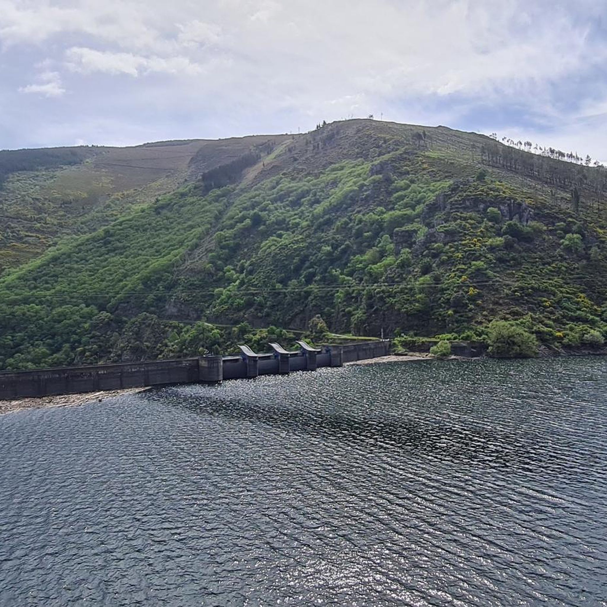
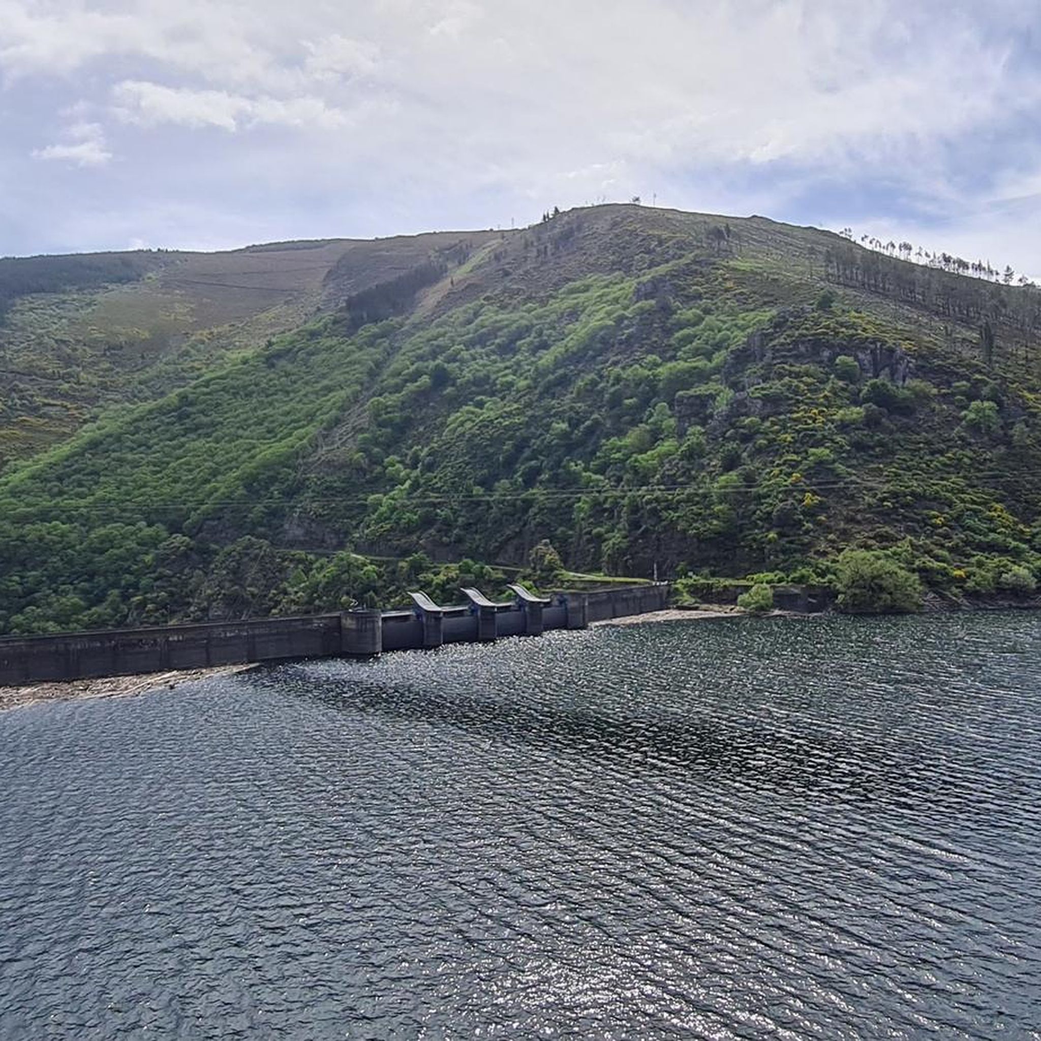
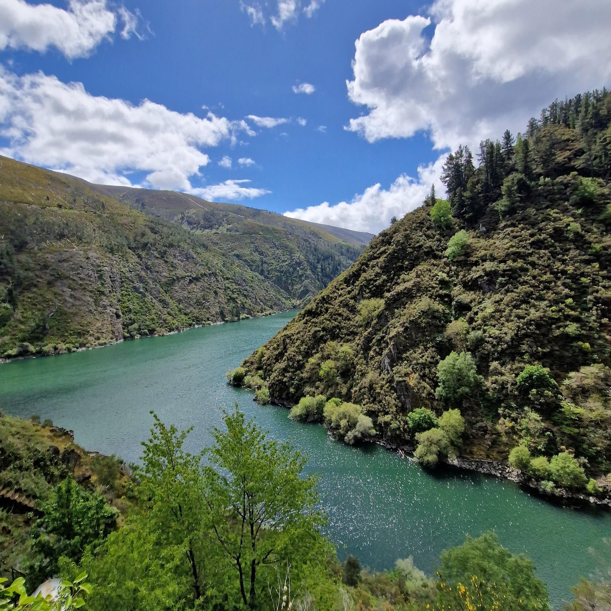
Road cycling routes around Embalse de Salime navigate a landscape characterized by significant elevation changes and mountainous terrain. The region features the large Embalse de Salime reservoir, surrounded by steep valleys and dense woodlands. Road cyclists can expect challenging climbs and descents, with routes often traversing mountain passes and offering views of the reservoir and surrounding natural areas. The area is defined by its rugged topography, making it suitable for experienced road cyclists seeking demanding rides.
Best road cycling routes around Embalse de Salime
- The most popular road cycling route is San Antolín de Ibias – Cecos Village loop from Pena da Nogueira, a 76.5 miles (123.1 km) trail that takes 8 hours 41 minutes to complete. This difficult route features substantial elevation gain through mountainous terrain.
- Another top favourite among local road cyclists is Grandas de Salime – Castro Chao Samartín loop from Grandas de Salime, a difficult 32.4 miles (52.2 km) path. This route offers challenging climbs and descents with views of the reservoir area.
- Local road cyclists also love the Monasterio de Corias – Pola de Allande loop from Fonteta, a 63.7 miles (102.5 km) trail leading through varied mountain landscapes, often completed in about 5 hours 42 minutes.
- Road cycling around Embalse de Salime is defined by challenging mountain passes, reservoir views, and demanding climbs. The network primarily offers routes for experienced cyclists.
- The guide includes highly-rated routes that showcase the best of the region's landscape. More than 70 road cyclists have used komoot to explore Embalse de Salime's varied terrain.
Last updated: July 15, 2026
10
riders
123km
08:42
4,100m
4,100m
Hard road ride. Very good fitness required. Some segments of this route may be unpaved and difficult to ride.
4
riders
163km
09:27
3,930m
3,930m
Hard road ride. Very good fitness required. Mostly well-paved surfaces and easy to ride.

Sign up for free
8
riders
Hard road ride. Very good fitness required. Mostly well-paved surfaces and easy to ride.
4
riders
52.2km
03:25
1,420m
1,420m
Hard road ride. Very good fitness required. Mostly well-paved surfaces and easy to ride.
24
riders
103km
05:42
2,250m
2,250m
Hard road ride. Very good fitness required. Mostly well-paved surfaces and easy to ride.
Get access to more routes and recommendations from other explorers.
Sign up for free
Already have an account?
Our route recommendations are based on thousands of hikes, rides, and runs completed by other people on komoot.
Start today with a free account
Your next adventure awaits.
Login or Signup
Popular around Embalse de Salime
Tips from the Community

Cecos is another charming Asturian village in the Fuentes del Narcea Natural Park. Its stone houses and medieval bridge are well preserved. It also has a bar, perfect for a stopover along the route.
0
0
Among the theories surrounding the unusual name of this mountain pass, one is the popular legend that some shepherdesses were caught in a blizzard and died in a nearby shelter. In any case, the pass is located in a stunning setting.
0
0

Stop here to get a perspective of the route and locate the places and towns.
0
0
It's highly recommended to stop and take some good photos. The panoramic views are wonderful and the solitude is restful.
0
0
Besides being a great place to stop and rest, it's also ideal for taking a photo with a large sign with the town's name. Right next to the recreation area is the El Casino restaurant... where the food is always good.
0
0
It's a town located in a spectacular location. Whenever I pass through here, I have the blessed feeling of being in a remote and wild place.
0
0

Breathtaking views.
0
1
A museum - free admission on Tuesdays. Otherwise, the prices are reasonable.
0
1
Frequently Asked Questions
How many road cycling routes are available around Embalse de Salime?
There are over 9 road cycling routes detailed for the Embalse de Salime region on komoot, all categorized as difficult due to the challenging terrain.
What is the typical difficulty level for road cycling routes in Embalse de Salime?
Road cycling routes around Embalse de Salime are generally considered difficult. The region is characterized by significant elevation changes, mountainous terrain, and demanding climbs and descents, making it suitable for experienced road cyclists.
Are there any easy road cycling routes in Embalse de Salime?
No, all road cycling routes listed for Embalse de Salime are rated as difficult. The rugged topography and substantial elevation gains mean that even shorter routes present a significant challenge.
What are the typical distances and durations for road cycling routes here?
Routes vary significantly in length and duration. For example, the San Antolín de Ibias – Cecos Village loop from Pena da Nogueira is 76.5 miles (123.1 km) and takes over 8 hours, while the Grandas de Salime – Castro Chao Samartín loop from Grandas de Salime is 32.4 miles (52.2 km) and takes around 3.5 hours.
Which routes offer the most challenging climbs in the region?
Many routes feature challenging climbs. The Alto de La Marta – Puerto del Palo Pass loop from Illano, for instance, includes nearly 3,800 meters of elevation gain over 132 km, making it one of the most demanding. The Pelliceira Climb is also known for its significant ascent.
When is the best time of year for road cycling around Embalse de Salime?
The best time for road cycling around Embalse de Salime is typically during the warmer, drier months, from late spring to early autumn. This avoids the harsher winter conditions and ensures more predictable weather for navigating the mountainous terrain.
What kind of weather conditions should I expect when cycling here?
Due to the mountainous nature of the region, weather can be variable. Expect potential for rapid changes, especially at higher elevations. Summers are generally warm, but rain is possible year-round. Always check the local forecast before heading out, and be prepared for cooler temperatures and wind on descents.
Are most road cycling routes around Embalse de Salime circular?
Yes, many of the road cycling routes in this area are designed as loops, allowing you to start and finish at the same point. Examples include the Monasterio de Corias – Pola de Allande loop from Fonteta and the Grandas de Salime – Castro Chao Samartín loop from Grandas de Salime.
Where can I park when road cycling in Embalse de Salime?
Parking availability varies by starting point. Many routes begin in or near villages like Grandas de Salime, Fonteta, or Illano, where you can often find public parking. It's advisable to check the specific starting location of your chosen route for detailed parking information.
Which routes offer the best views of the reservoir or surrounding landscape?
Routes that traverse mountain passes and hug the reservoir's edge often provide spectacular views. The Grandas de Salime – Castro Chao Samartín loop from Grandas de Salime offers excellent vistas of the reservoir area, while other routes provide panoramic views of the steep valleys and dense woodlands characteristic of the region.
What do other road cyclists enjoy most about road cycling in Embalse de Salime?
Road cyclists frequently praise the challenging nature of the terrain, the stunning reservoir views, and the demanding climbs. The region is appreciated by those seeking a rigorous and rewarding cycling experience amidst rugged, natural beauty.
Most popular routes around Embalse de Salime

Get inspired with the komoot mobile app


Explore more
Browse the best Road cycling routes in other regions.
