The best running trails around Mancera De Arriba
5.0
(1)
13
runners
5
runs
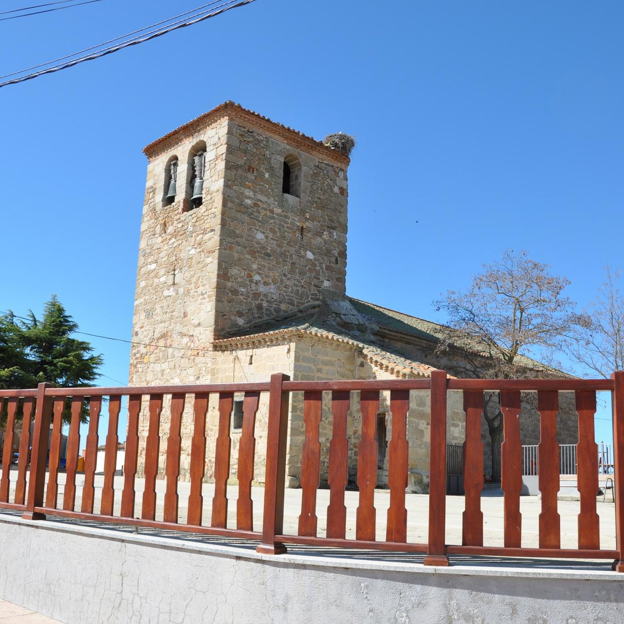
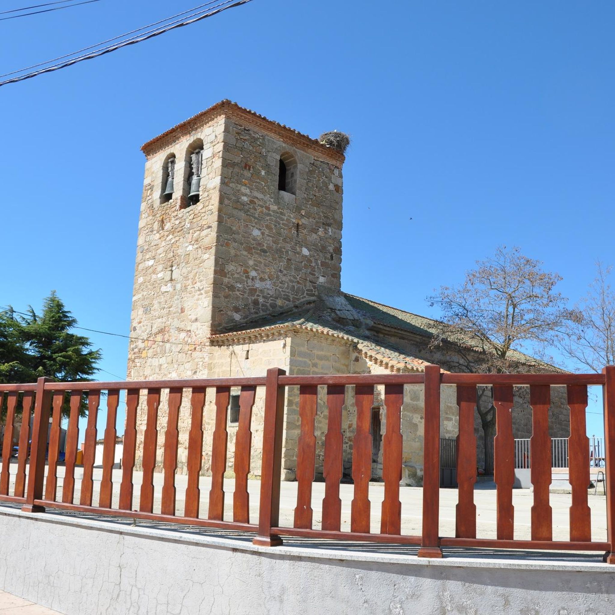
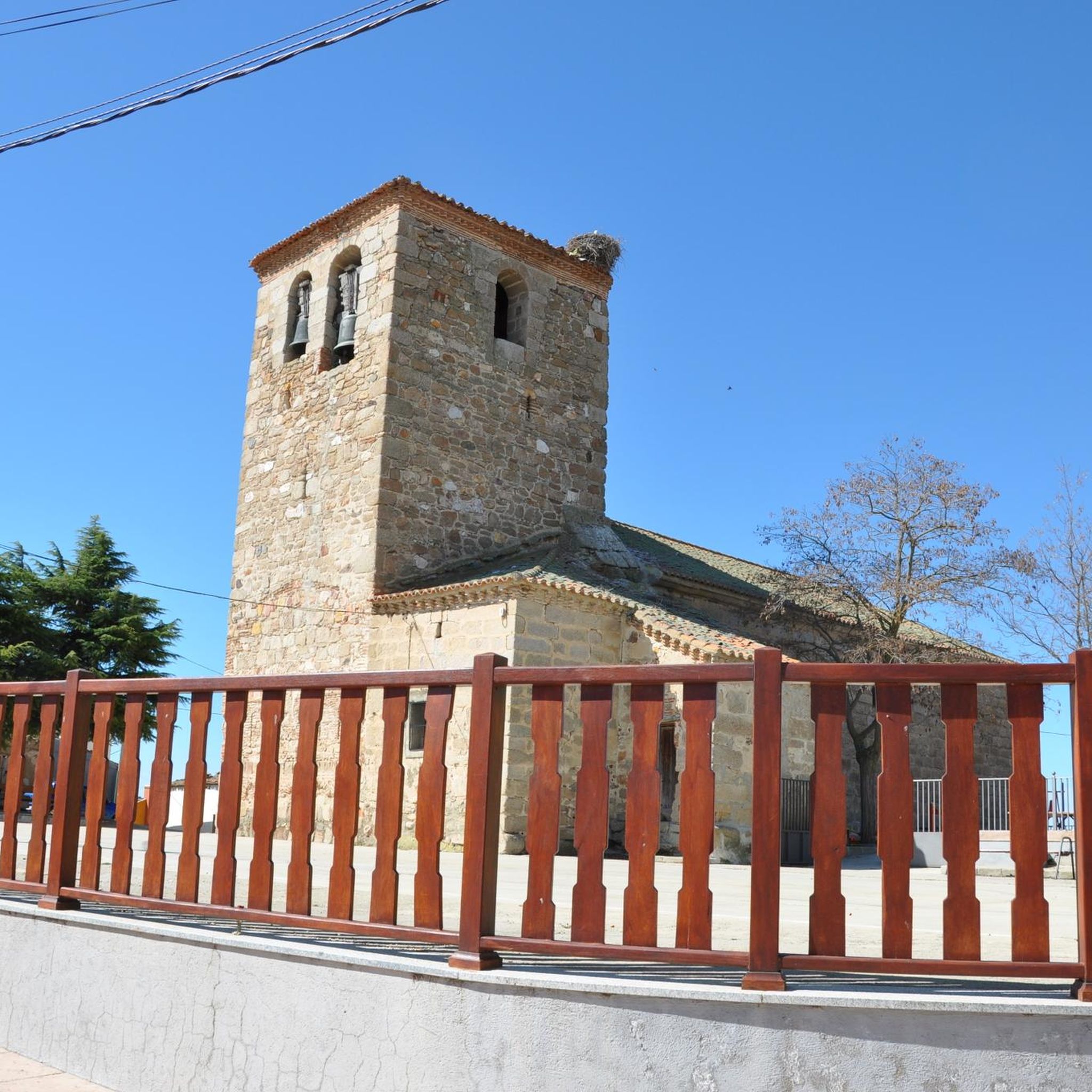
Jogging around Mancera De Arriba offers routes through the region's rural landscapes. The area features gently rolling terrain with modest elevation changes, suitable for various running paces. Routes often traverse agricultural land and connect small villages, providing a mix of open views and local pathways. The landscape is characterized by its open countryside, with no significant hills over 200m.
Best jogging routes around Mancera De Arriba
- The most popular jogging route is Running loop from Cuesta Gata, a 3.8…
Last updated: July 6, 2026
3
runners
6.10km
00:38
40m
40m
Moderate run. Good fitness required. Mostly paved surfaces. Suitable for all skill levels.
5.0
(1)
3
runners
11.3km
01:24
160m
160m
Moderate run. Good fitness required. Mostly paved surfaces. Suitable for all skill levels.

Sign up for free
3
runners
5.77km
00:36
60m
60m
Moderate run. Good fitness required. Mostly paved surfaces. Suitable for all skill levels.
2
runners
9.59km
01:09
60m
70m
Moderate run. Good fitness required. Mostly paved surfaces. Suitable for all skill levels.
2
runners
8.00km
00:57
30m
30m
Moderate run. Good fitness required. Mostly paved surfaces. Suitable for all skill levels.
Our route recommendations are based on thousands of hikes, rides, and runs completed by other people on komoot.
Start today with a free account
Your next adventure awaits.
Login or Signup
Popular around Mancera De Arriba
Tips from the Community

Frequently Asked Questions
How many running routes are available in Mancera De Arriba?
There are 5 dedicated running routes around Mancera De Arriba featured in this guide. These routes offer a variety of distances and experiences through the region's rural landscapes.
Are the jogging routes in Mancera De Arriba suitable for beginners?
The running trails in Mancera De Arriba are generally considered moderate in difficulty. While there are no routes specifically classified as 'easy' in this selection, many feature gently rolling terrain and modest elevation changes, making them accessible for runners with some experience. For instance, the Running loop from Cuesta Gata has minimal elevation gain, which can be a good option for those looking for a steady run.
What are the typical distances of running trails in Mancera De Arriba?
The running routes in Mancera De Arriba vary in length, catering to different preferences. You can find routes ranging from approximately 3.6 miles (5.8 km) like the Running loop from Herreros de Suso, up to longer options such as the Running loop from Malpartida, which is about 7.0 miles (11.3 km).
Are there any circular running routes in Mancera De Arriba?
Yes, all the running routes highlighted in this guide are circular loops. This means you'll start and finish at the same point, making logistics easier for your run. Examples include the Palacio de Don Juan de Toledo loop from Mancera de Abajo and the Fuente del Oro loop from Mancera de Abajo.
What kind of scenery can I expect on the running trails?
The running trails around Mancera De Arriba are characterized by rural paths, agricultural landscapes, and rolling countryside. You'll experience open views across fields and connect small villages, providing a peaceful and scenic backdrop for your run.
Are the running routes in Mancera De Arriba suitable for families?
While specific 'family-friendly' classifications aren't provided, the routes generally traverse rural paths with modest elevation changes. Families with children who are accustomed to longer walks or runs might enjoy the shorter loops, such as the Running loop from Cuesta Gata, which is 3.8 miles (6.1 km) with minimal elevation.
Can I bring my dog on the running trails?
Most rural paths in Spain are generally dog-friendly, especially if your dog is well-behaved and kept on a leash. However, always be mindful of agricultural land and livestock. It's advisable to carry water for your dog, especially during warmer months, as specific amenities for pets may not be available along the routes.
What is the best season for running in Mancera De Arriba?
The region's climate suggests that spring and autumn would be ideal for running, offering milder temperatures and pleasant conditions. Summer can be quite warm, so early morning or late evening runs are recommended. Winter runs are possible, but be prepared for cooler temperatures and potentially muddy paths after rain.
Are there any amenities like cafes or water stops along the running routes?
The running routes often traverse agricultural land and connect small villages. While specific cafes or dedicated water stops directly on the trails are not guaranteed, you may find small shops or bars in the villages you pass through, such as Mancera de Abajo, where you can refuel. It's always best to carry your own water and snacks.
What do other runners say about the trails in Mancera De Arriba?
The running routes in Mancera De Arriba are highly rated by the komoot community, with an average score of 5.0 stars. Runners often praise the peaceful rural setting and the opportunity to explore the open countryside. More than 10 runners have used komoot to explore these varied terrains.
Is parking available near the starting points of the running routes?
As the routes often start from or pass through small villages like Cuesta Gata, Malpartida, Herreros de Suso, and Mancera de Abajo, you can typically find roadside parking or small public parking areas within these villages. Specific parking facilities are not detailed for each route, but rural areas generally offer accessible parking options.
How accessible are the running routes by public transport?
Mancera De Arriba is characterized by its rural setting. Public transport options, such as bus services, may be limited and infrequent, especially to the smaller villages where some routes begin. It is generally recommended to access these running trails by car for greater flexibility.
Most popular routes around Mancera De Arriba

Get inspired with the komoot mobile app


Explore more
Browse the best Running Trails & Routes in other regions.
