The best walks and hikes around Velayos
4.7
(12)
13
hikers
6
hikes
Hiking around Velayos offers access to a network of trails traversing rural landscapes and open fields. The region is characterized by gentle terrain with minimal elevation changes, making it suitable for various activity levels. These paths often connect local villages and highlight the area's natural and historical features. The landscape primarily consists of agricultural land and small wooded areas.
Best hiking trails around Velayos
- The most popular hiking route is Route of the Mills from Mingorría, a 3.6 miles…
Last updated: July 7, 2026
1
hikers
5.76km
01:36
110m
110m
Easy hike. Great for any fitness level. Easily-accessible paths. Suitable for all skill levels.
4.2
(6)
2
hikers
9.78km
02:30
30m
30m
Moderate hike. Good fitness required. Easily-accessible paths. Suitable for all skill levels.

Sign up for free
4.5
(2)
2
hikers
9.35km
02:23
30m
30m
Moderate hike. Good fitness required. Easily-accessible paths. Suitable for all skill levels.
2
hikers
5.00km
01:16
10m
10m
Easy hike. Great for any fitness level. Easily-accessible paths. Suitable for all skill levels.
2
hikers
4.56km
01:09
10m
10m
Easy hike. Great for any fitness level. Easily-accessible paths. Suitable for all skill levels.
Our route recommendations are based on thousands of hikes, rides, and runs completed by other people on komoot.
Start today with a free account
Your next adventure awaits.
Login or Signup
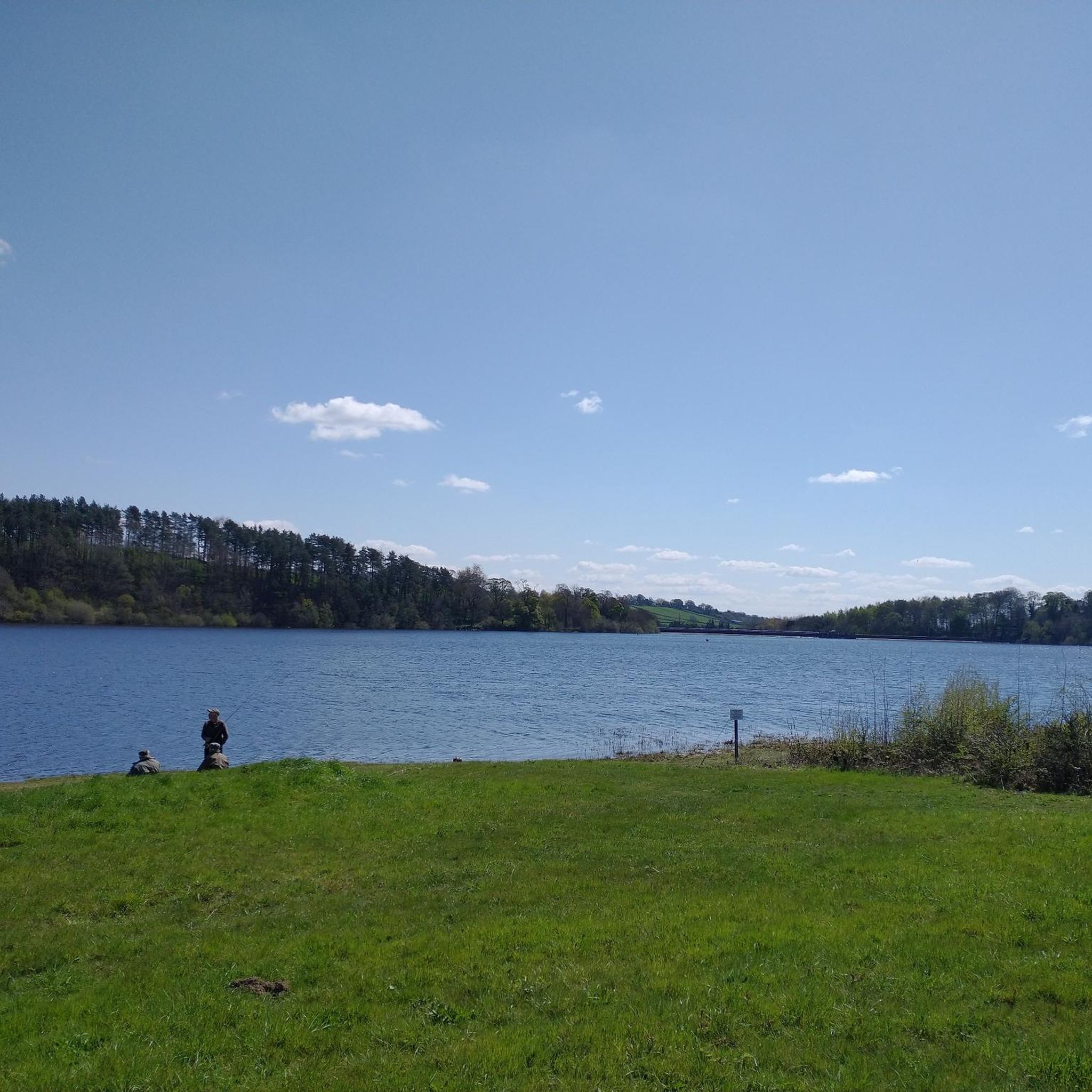
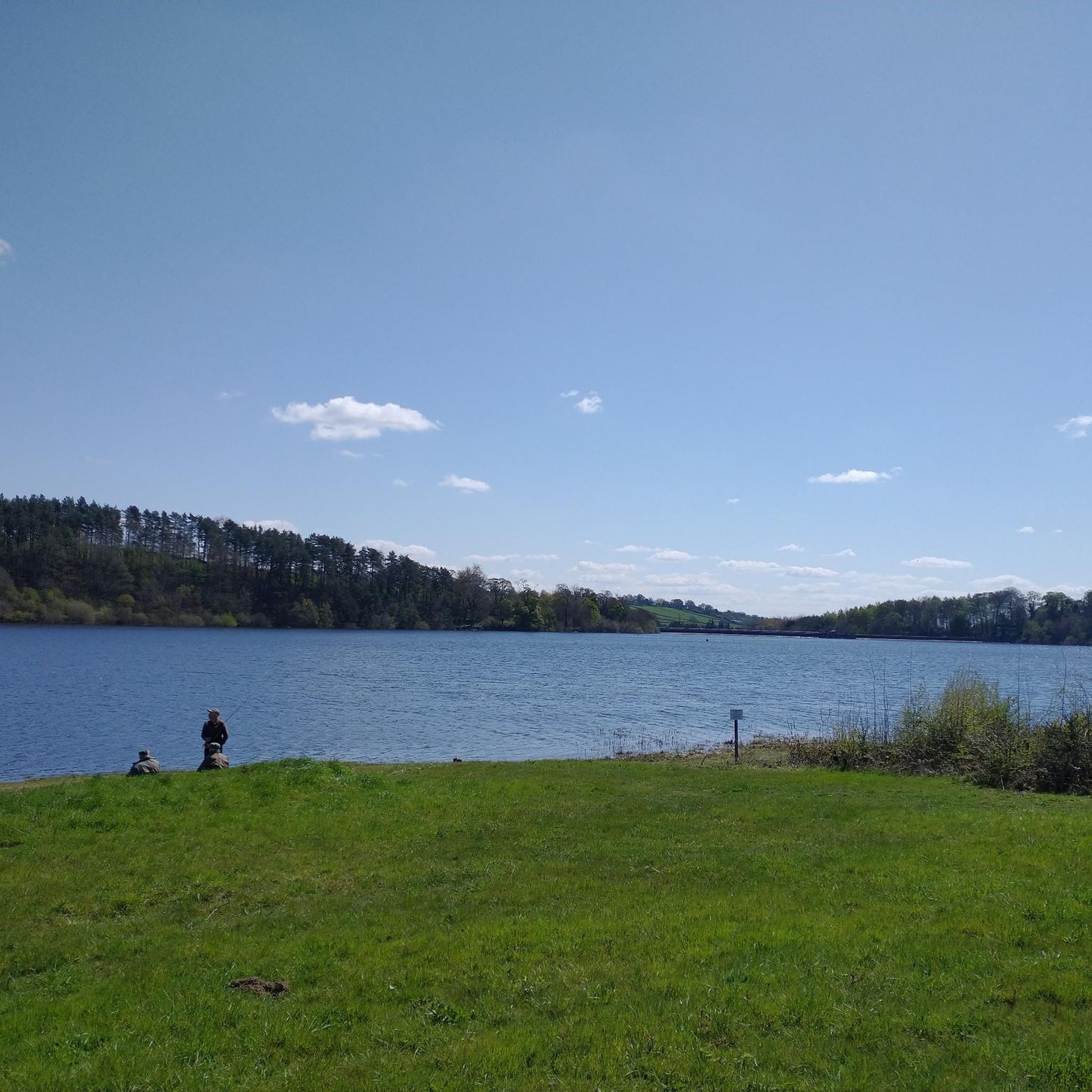
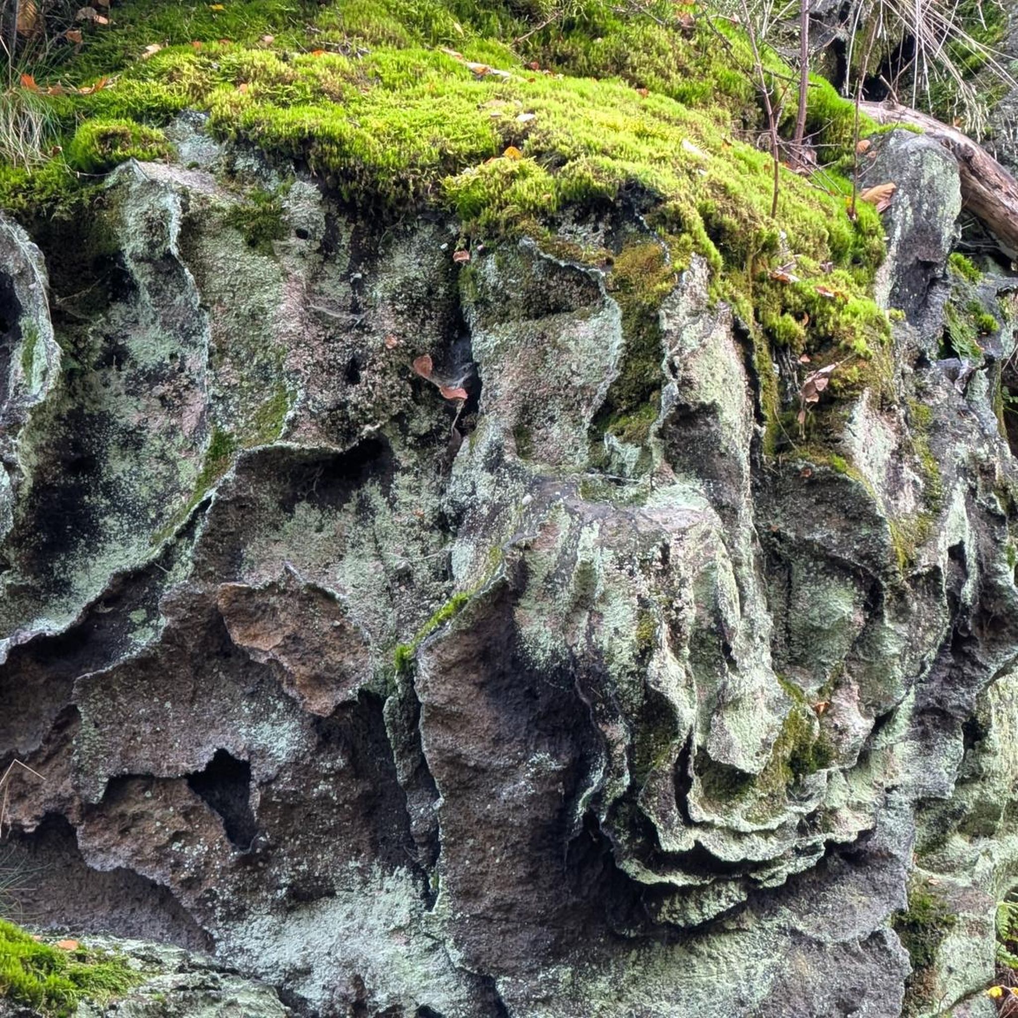

Tips from the Community

Notable building of the place
0
0

El Bohodón is a municipality in Spain belonging to the province of Ávila, in the autonomous community of Castilla y León. It is located in the La Moraña region, in the north of the province. It is located 35 kilometers from the capital and 17 kilometers from Arévalo.
5
0
The place name Mingorría retains Basque reminiscences, deriving from “mendi gorria,” which means “red mountain” or “red land.” This is observed in other cases in the province of Ávila, such as the town of Mendigorría in Navarra. In historical documents, Mingorría already appears as Ningorría, and it is believed that there was an assimilation due to the change of the liquid initials “M” to “N.” Another legend attributes the name of Mingorría to the notice that José Chinchurreta gave to monarch Felipe II, justifying the delay in the supply of granite during the works of the Monastery of El Escorial.
4
0

Small population where two rivers bathe the lands of the municipality, to the east the Adaja river and to the west the Arevalillo river, a tributary of the previous one.
1
0
A small town that is characterized by its location close to the banks of the Adaja river where it flows through the territory of the municipality. The surroundings of the town are beautiful, as is the church that is in the old center of the town.
2
0
Ruins of the Mill and beautiful views of the Adaja River.
10
0
Frequently Asked Questions
What kind of terrain can I expect on the hiking trails around Velayos?
The hiking trails around Velayos are characterized by gentle terrain with minimal elevation changes. You'll mostly traverse rural landscapes, open fields, agricultural land, and small wooded areas, often connecting local villages.
Are there easy hiking trails suitable for beginners or casual walkers in Velayos?
Yes, Velayos offers several easy hiking options. For instance, the Route of the Mills from Mingorría is an easy 3.6-mile (5.8 km) trail that follows historical mill routes. Another easy option is the Lavajo de San Antón loop from Adanero, which is about 3 miles (4.9 km).
What is the typical duration of hikes in Velayos?
Hikes in Velayos generally range from about 1 hour 15 minutes for shorter, easy routes to around 2 hours 30 minutes for moderate, longer loops. For example, the Route of the Mills from Mingorría takes about 1 hour 36 minutes, while the El Bohodón loop from Villanueva de Gómez typically takes around 2 hours 30 minutes.
Are there any circular hiking routes in Velayos?
Yes, many of the trails in Velayos are designed as loops, offering convenient circular walks. Popular options include the El Bohodón loop from Villanueva de Gómez and the Hiking loop from Villanueva de Gómez, both of which lead through rural landscapes and local villages.
Are the hiking trails in Velayos suitable for families with children?
Given the gentle terrain and minimal elevation changes, many of the trails in Velayos are well-suited for families. The easier routes, such as the Route of the Mills from Mingorría, are particularly good for walks with children.
Can I bring my dog on the hiking trails around Velayos?
Generally, dogs are welcome on trails in rural areas like Velayos. However, it's always recommended to keep your dog on a leash, especially when passing through agricultural land or near livestock, and to follow local regulations regarding pet waste.
What interesting places or landmarks can I see along the hiking trails in Velayos?
The trails often connect local villages, offering glimpses into rural life. You might pass through or near settlements like Mingorría or Maello. Some routes also feature historical elements, such as the old mill routes, or natural features like the Adaja River.
When is the best time of year to go hiking in Velayos?
The best time to hike in Velayos is typically during spring (April-May) and autumn (September-October) when the weather is mild and pleasant. Summers can be very hot, and winters can be chilly, though hiking is generally possible year-round with appropriate gear.
Where can I find parking for the hiking trails in Velayos?
Parking is generally available in or near the villages that serve as starting points for the trails, such as Mingorría, Villanueva de Gómez, or Adanero. Look for designated parking areas or roadside parking in these communities.
Are there any cafes or places to get refreshments near the hiking trails?
Since many trails connect local villages, you may find small cafes, bars, or shops in communities like Mingorría, Villanueva de Gómez, or Adanero where you can get refreshments or a meal before or after your hike. It's always a good idea to carry water and snacks, especially on longer routes.
What do other hikers enjoy most about hiking in Velayos?
The area is highly rated by the komoot community, with an average score of 4.6 stars from over 10 reviews. Reviewers often praise the peaceful rural landscapes, the ease of navigation on the gentle terrain, and the opportunity to explore local villages and historical routes.
Are there any challenging or difficult hikes in Velayos?
The hiking trails in Velayos are primarily categorized as easy to moderate, with no difficult routes listed. The region's gentle terrain and minimal elevation changes mean that even the longer routes, such as the El Bohodón loop from Villanueva de Gómez, are considered moderate rather than challenging.
Most popular attractions around Velayos

Get inspired with the komoot mobile app


Explore more
Browse the best Hikes in other regions.
