The best gravel rides around Checa
4.8
(14)
311
riders
11
rides
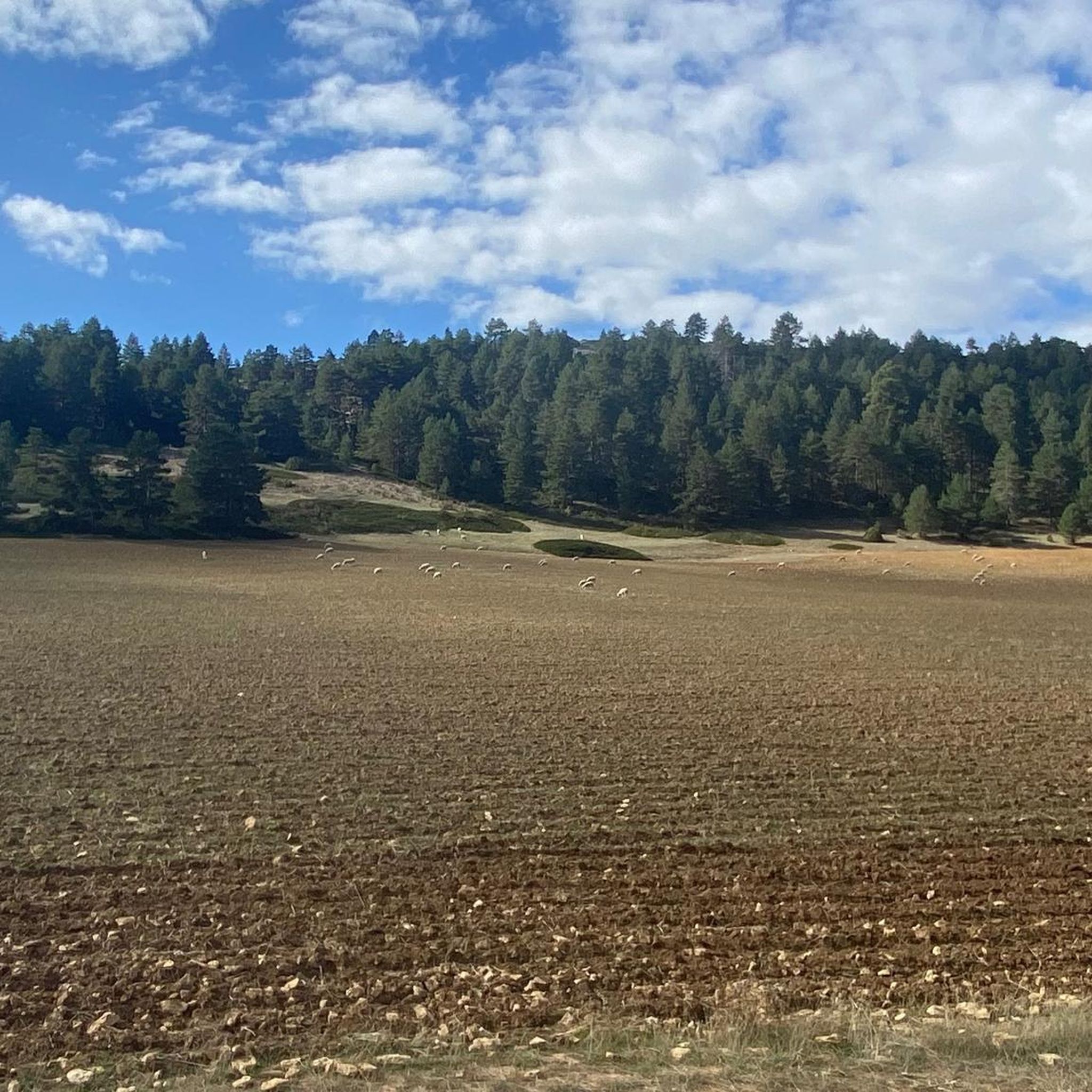
Gravel biking around Checa features a landscape characterized by significant elevation changes, with routes traversing mountainous terrain and deep river valleys. The region offers a mix of challenging climbs and scenic paths, often following the course of the Tajo River. Riders can expect varied surfaces, from forest tracks to gravel roads, providing diverse experiences for gravel cyclists. This area is known for its dramatic viewpoints and natural formations, making it suitable for those seeking rugged outdoor adventures.
Best gravel bike…
Last updated: October 23, 2026
4.6
(8)
120
riders
Hard gravel ride. Very good fitness required. Mostly paved surfaces.
4.8
(4)
107
riders
141km
10:02
2,360m
2,360m
Hard gravel ride. Very good fitness required. Mostly paved surfaces.

5.0
(1)
56
riders
154km
11:31
2,570m
2,570m
Hard gravel ride. Very good fitness required. Mostly paved surfaces.
7
riders
Hard gravel ride. Very good fitness required. Mostly paved surfaces.
5.0
(1)
6
riders
50.9km
04:33
900m
900m
Hard gravel ride. Very good fitness required. Mostly paved surfaces.
Get access to more routes and recommendations from other explorers.
Already have an account?
Our route recommendations are based on thousands of hikes, rides, and runs completed by other people on komoot.
Start today with a free account
Your next adventure awaits.
Popular around Checa
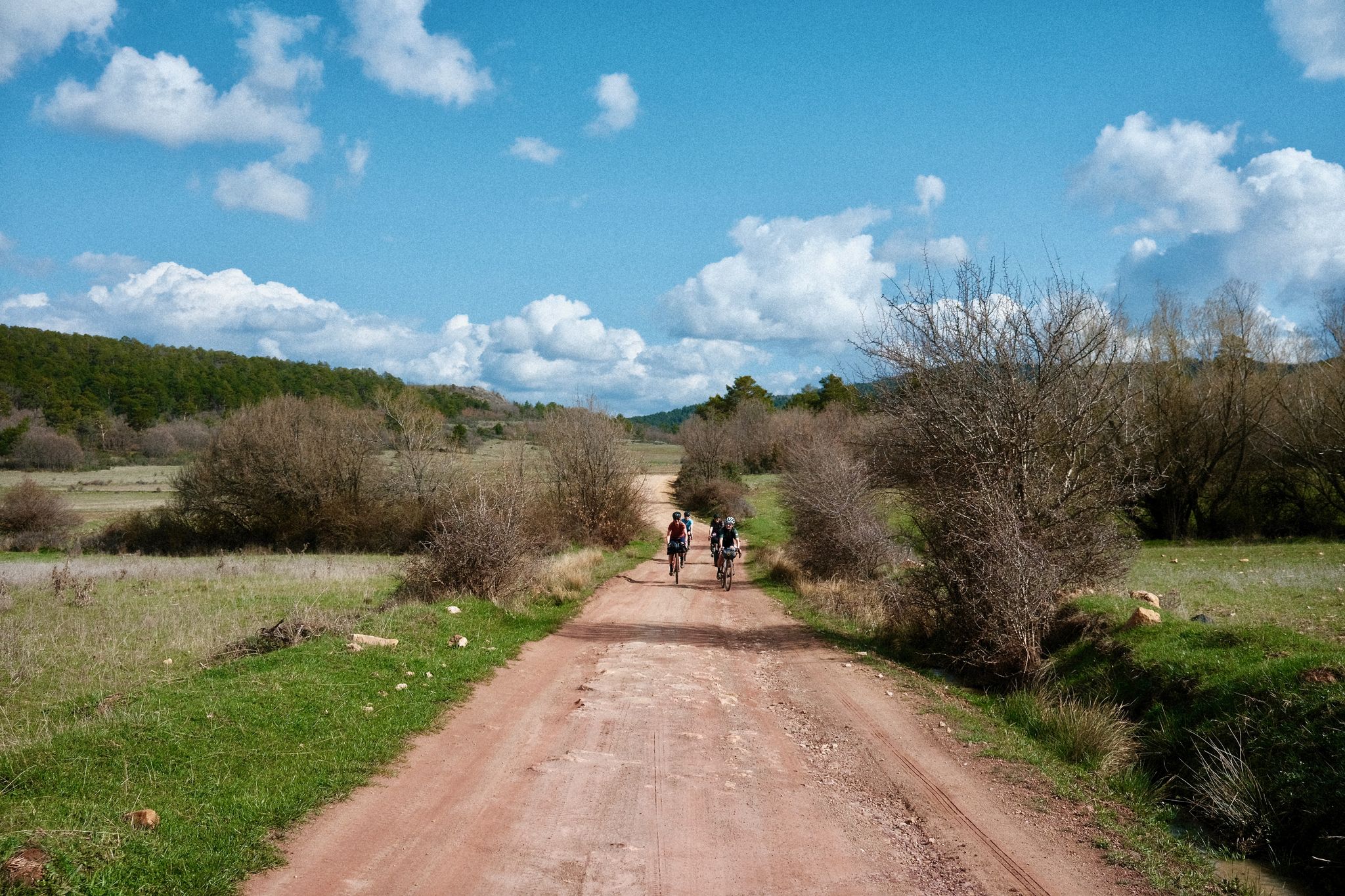
Women's Montañas Vacías 2022 — bikepack in rural Spain
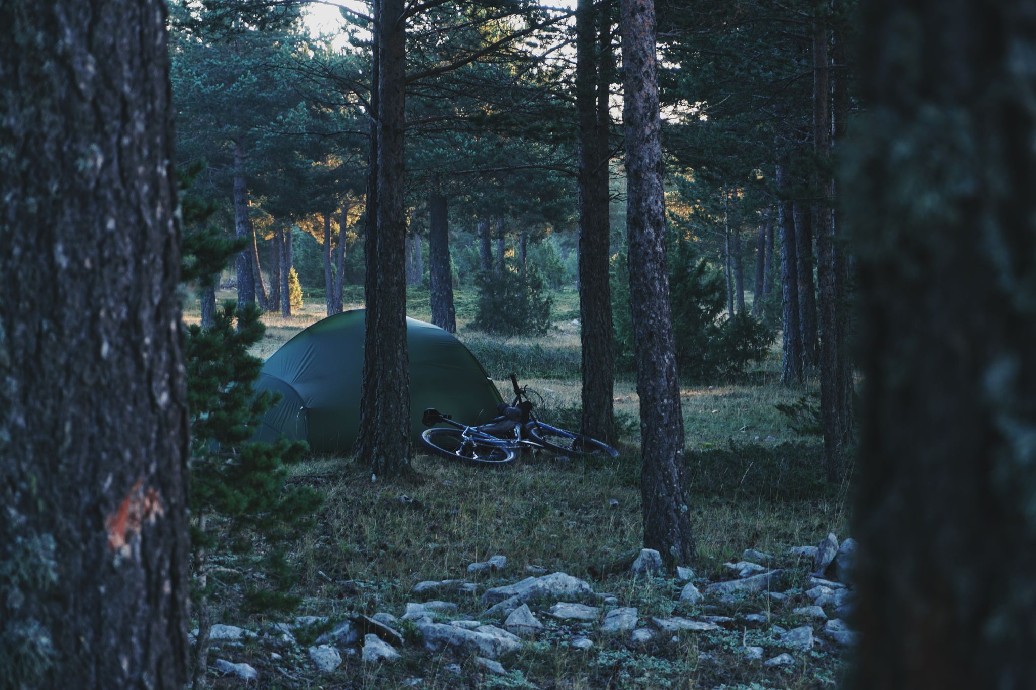
MontañasVacías official — bikepacking across the Spanish Lapland
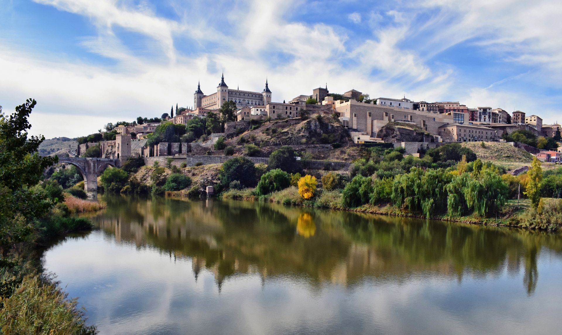
Albarracín to Toledo – Eastern Tagus Nature Trail
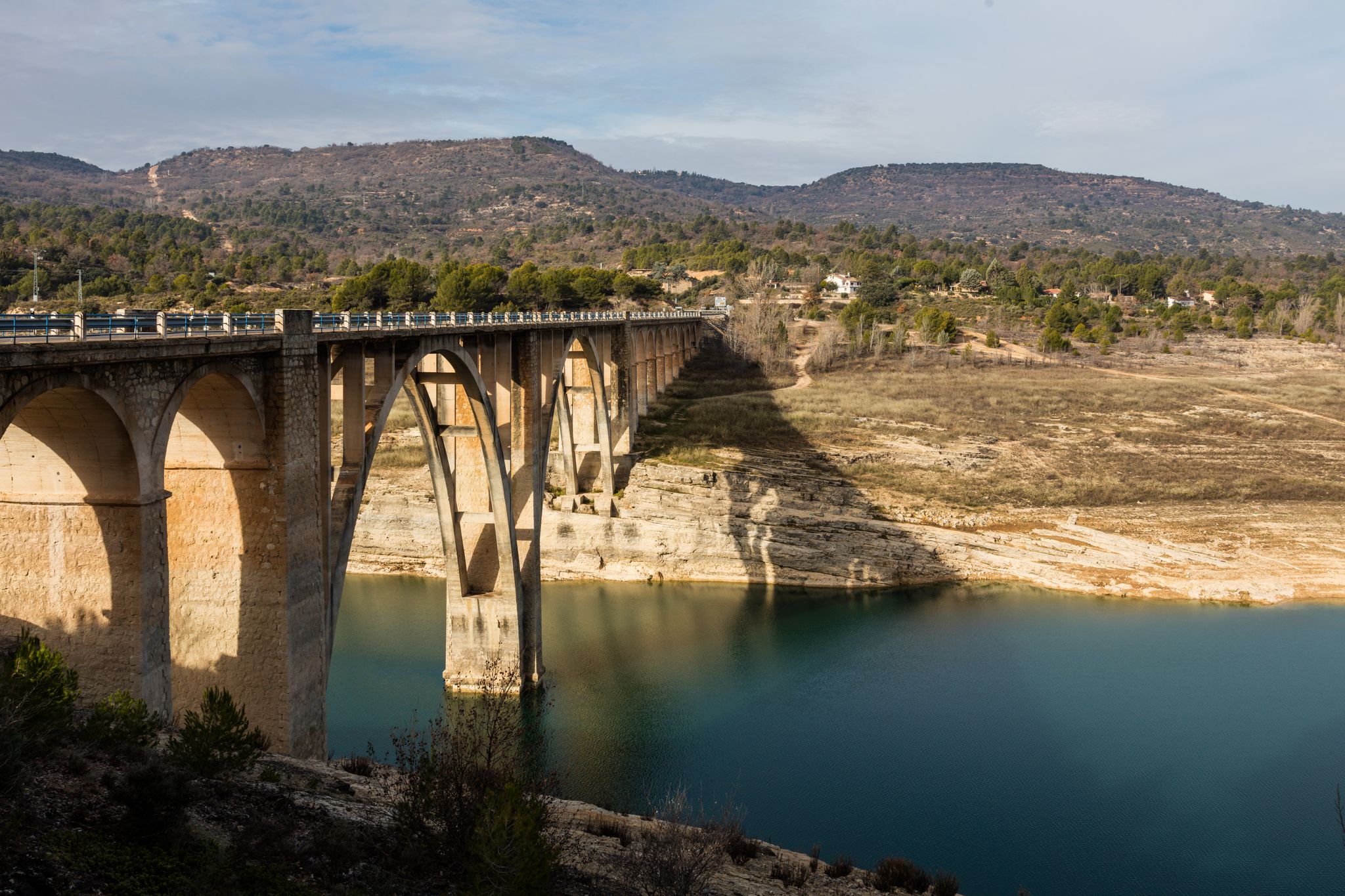
A journey on the Iberian Peninsula – Tagus Nature Trail
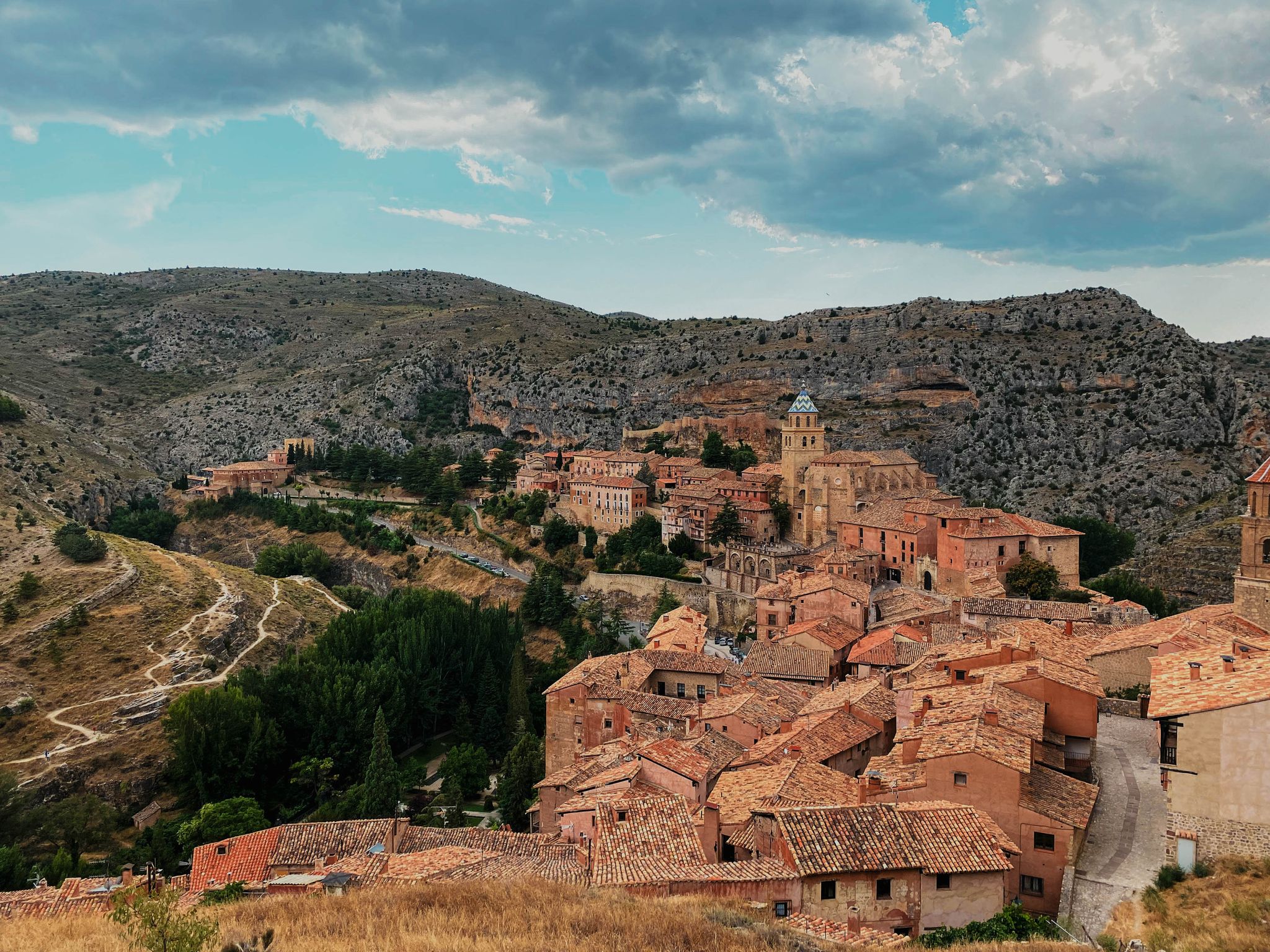
The Three Taifas by gravel bike – El Camino del Cid
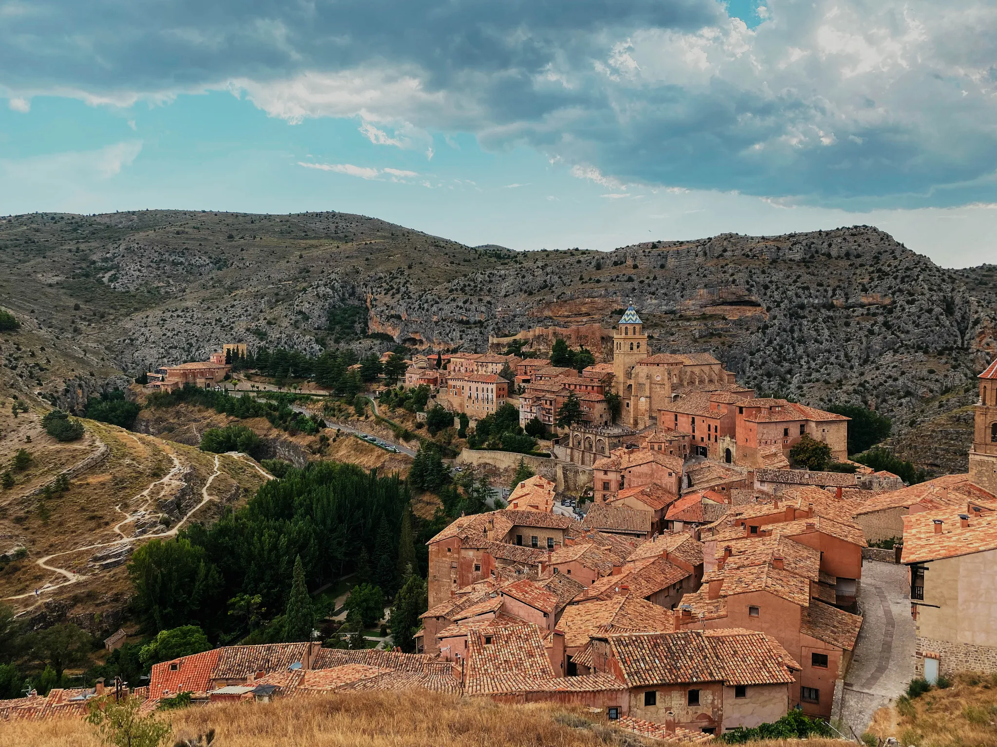
The Way of El Cid by bike – The Three Taifas
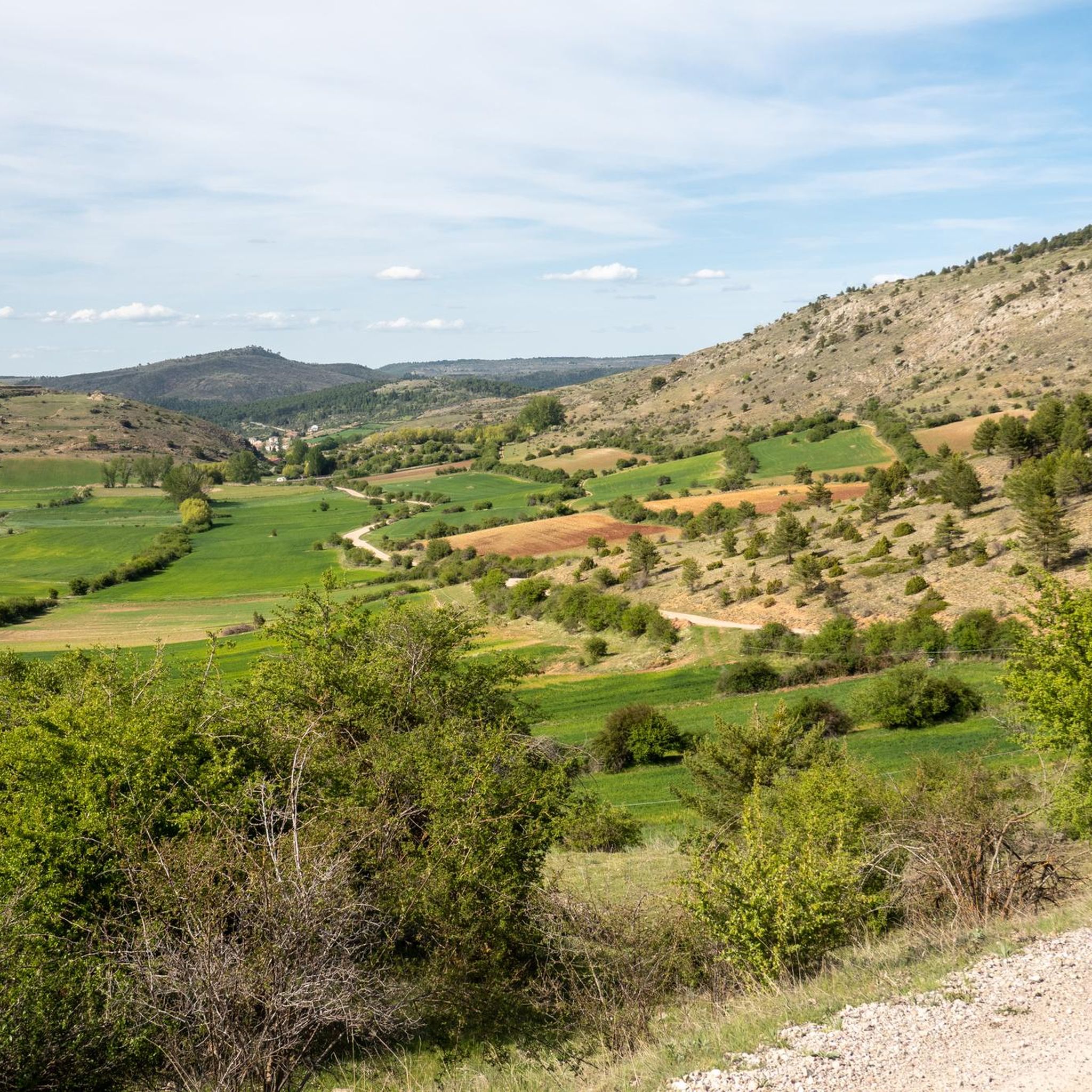
Cycling around Checa
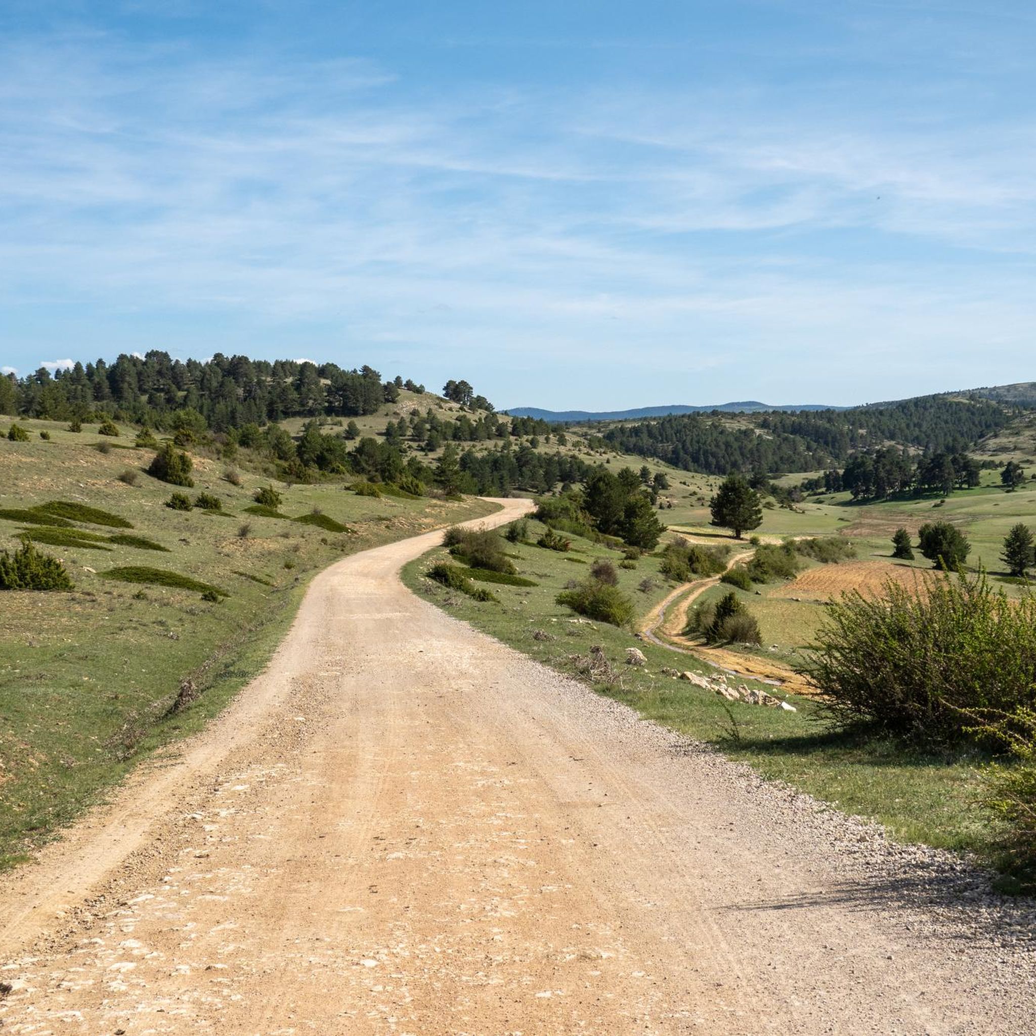
Hiking around Checa

Road Cycling Routes around Checa
Running Trails around Checa
Other adventures around Checa


Tips from the Community

Break opportunity with benches, the cottage was closed on June 26.
7
0
The Jucar River is approximately 500 km long and flows from the Montes Universales to Cullera, where it flows into the Gulf of Valencia.
6
0

Refuge in perfect condition for spending a night, it had four bunk beds, a fireplace area, and a small stable.
0
0
Emblematic place, with natural sculptures, visible from the road itself
0
0

Within the great beauty of the Enchanted City of Chequilla are the Towers, near the Church Square.
0
0

It's a shaded, cool rest area where you can relax and have a bite to eat on the stone benches. In Peralejos, there's a small grocery store where you can buy food or toiletries.
9
0
This setting couldn't be more spectacular, containing a series of stone figures capriciously created by nature over hundreds of thousands of years. Erosion has exposed the hardest parts of the rocks, which remain as silent witnesses to the passage of time and serve as an attraction for tourists who come to marvel at these strange formations.
9
0
This spectacular bridge is almost hidden from view and serves as an excuse to cross the Tagus River from one bank to the other. It is very well preserved and is located next to several striking rock faces.
9
0
Frequently Asked Questions
What kind of terrain can I expect on gravel bike trails around Checa?
Gravel biking around Checa is characterized by significant elevation changes, traversing mountainous terrain and deep river valleys, particularly along the Tajo River. You'll encounter a mix of challenging climbs and scenic paths, with varied surfaces ranging from forest tracks to gravel roads. The region offers dramatic viewpoints and natural formations, making it ideal for rugged outdoor adventures.
Are there any easy gravel bike trails for beginners or families in Checa?
While most routes around Checa present a significant challenge due to the mountainous terrain and elevation changes, there is one moderate route available. The region is generally better suited for riders seeking a more demanding experience rather than easy, flat rides. For specific family-friendly options, it's always best to check individual route details on komoot.
What are some notable landmarks or viewpoints I can see along the gravel bike trails in Checa?
Many gravel routes in Checa offer stunning natural and historical sights. You can explore dramatic viewpoints like the towers of Chequilla, or pass through charming settlements such as Orihuela del Tremedal and Checa itself. Some trails also lead near natural features like the Source of the Cuervo River.
Are there any circular gravel bike routes available in Checa?
Yes, many of the gravel bike routes around Checa are designed as loops. For example, you can ride the Trail along the Tajo River – Beteta loop, which offers extensive riding with significant elevation gain. Another popular option is the Estrecho del Horcajo Viewpoint – Puente de Peñalén loop, leading through dramatic river gorges.
What is the typical elevation gain on gravel bike trails in Checa?
Gravel bike trails in Checa are known for significant elevation changes. Many routes feature substantial climbs, with some reaching over 1,600 meters of ascent. For instance, the Beteta – Refugio de la Alconera loop includes over 1,800 meters of climbing, and the Source of the Tagus River – The towers of Chequilla loop has over 2,200 meters of elevation gain.
What do other gravel bikers enjoy most about Checa's trails?
The gravel biking experience in Checa is highly rated by the komoot community, with an average score of 4.8 stars from over 7 reviews. Riders often praise the challenging nature of the routes, the dramatic viewpoints, and the rugged, natural beauty of the mountainous terrain and river valleys.
Are there places to stop for refreshments or shelter along the trails?
Yes, the region offers several refuges and picnic areas that can serve as stops. You might find places like the La Portera Refuge and Viewpoint, Forest House Refuge, or the Forest Shelter and Picnic Area by the Tagus River. These can be useful for breaks or in case of unexpected weather.
How long do gravel bike trails typically take to complete in Checa?
The duration of gravel bike trails in Checa varies significantly based on their length and difficulty. Shorter, challenging routes like the Orihuela del Tremedal – Bronchales Town Center loop might take around 2.5 hours, while longer and more demanding loops such as the Trail along the Tajo River – Beteta loop can take over 10 hours to complete.
What is the best time of year for gravel biking in Checa?
While the guide doesn't specify an ideal season, regions with significant elevation and mountainous terrain like Checa generally offer the best gravel biking conditions during spring, summer, and early autumn. These seasons typically provide more stable weather, warmer temperatures, and clear paths. Winter conditions can introduce snow and ice, making many trails more challenging or impassable.
Are there options for parking near the gravel bike trailheads in Checa?
Yes, many trailheads and starting points for gravel bike routes in Checa offer parking facilities. For example, routes like the Trail along the Tajo River – Beteta loop and the Beteta – Refugio de la Alconera loop start from an area described as 'Estacionamiento de tierra', indicating a dirt parking area. It's advisable to check the specific tour details on komoot for parking information at your chosen starting point.
Most popular attractions around Checa

Get inspired with the komoot mobile app


Explore more
Browse the best Gravel rides in other regions.
