The best mountain hikes around Bérchules
5.0
(2)
27
hikers
2
hikes
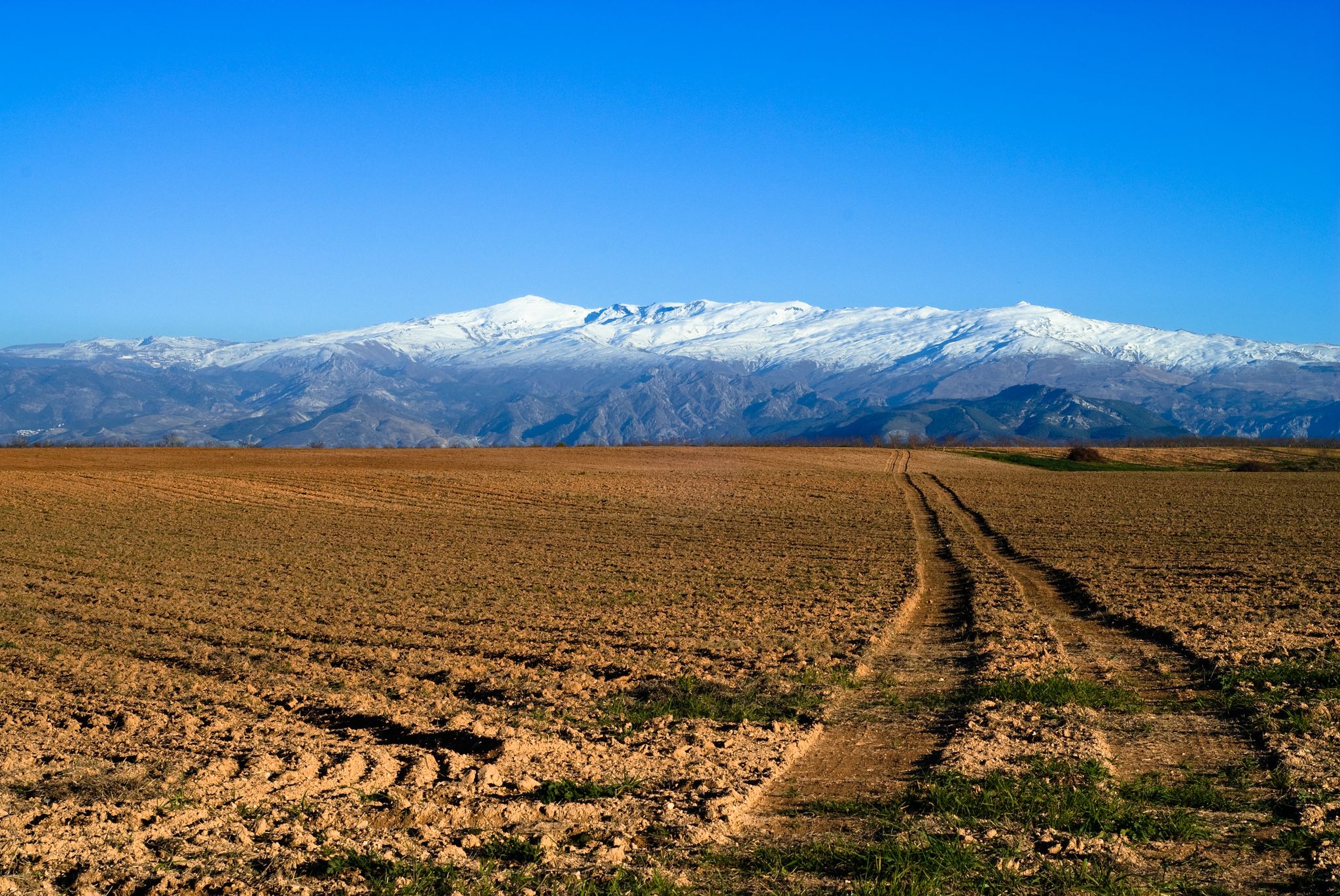
Mountaineering routes around Bérchules are situated within the Sierra Nevada Natural and National Park, offering a high-altitude environment for challenging ascents. The region is characterized by rugged mountain landscapes, including snowy summits, torrential rivers, and sheer-sided gorges. Glacial lakes and ancient paths wind through this dramatic terrain, providing diverse features for mountaineering.
Best mountaineering routes around Bérchules
- The most popular mountaineering route is Mulhacén Summit – Mulhacén Peak loop from Refugio Poqueira, an 8.4 miles (13.6 km) trail that…
Last updated: July 7, 2026
5.0
(2)
19
hikers
13.6km
06:35
1,000m
990m
Hard mountaineering route. Very good fitness required. Sure-footedness, sturdy shoes and alpine experience required.
6
hikers
18.1km
08:37
1,420m
1,410m
Hard mountaineering route. Very good fitness required. Sure-footedness, sturdy shoes and alpine experience required.

Sign up for free
2
hikers
24.1km
11:27
1,460m
1,460m
Hard mountaineering route. Very good fitness required. Sure-footedness, sturdy shoes and alpine experience required.
Our route recommendations are based on thousands of hikes, rides, and runs completed by other people on komoot.
Start today with a free account
Your next adventure awaits.
Login or Signup
Popular around Bérchules




Tips from the Community

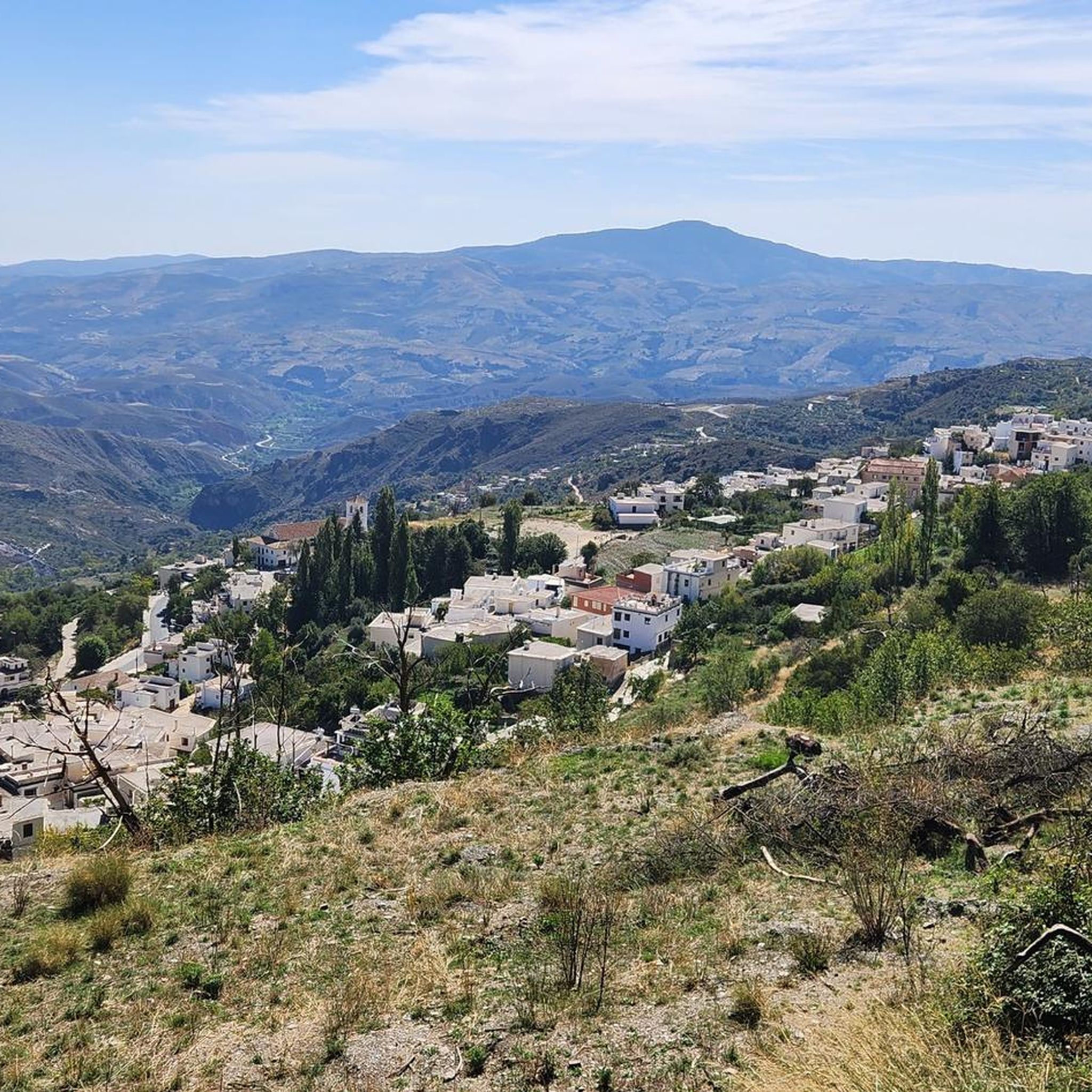
From here, the views of the three-thousanders, Hoya de Guadix and El Marquesado are spectacular.
0
0
The Covtaillas stream originates in the Lavaderos de la Reina, a glacial cirque fed by snowmelt. During spring and early summer, it feeds the Covatillas pond and a wide area of alpine pastures.
0
0
The Postero Alto refuge is guarded and has 50 places. It offers overnight stays, meals, and hot showers.
0
0

In Trevélez, everything revolves almost exclusively around the air-dried Ibero ham produced here, which is known throughout Spain.
0
0

Beautiful route...good fitness and the summit is doable.
0
0

The refuge is very well equipped, always staffed and a good starting point for high mountain routes on the north face of the Sierra Nevada, Picón de Jérez.
0
1

Frequently Asked Questions
How many mountaineering routes are available around Bérchules?
There are several challenging mountaineering routes around Bérchules, all located within the Sierra Nevada Natural and National Park. Our guide features 5 distinct routes, each offering a unique high-altitude experience.
Are there any beginner-friendly mountaineering routes in Bérchules?
The mountaineering routes featured in this guide around Bérchules are generally considered difficult, designed for experienced mountaineers seeking challenging ascents. The terrain often involves high-altitude peaks, rugged gorges, and glacial lakes, making them unsuitable for beginners or casual hikers.
What is the best time of year for mountaineering in Bérchules?
The Sierra Nevada, where Bérchules is located, features snowy summits for much of the year. While summer offers more accessible conditions, the region is also known for its winter mountaineering opportunities. Always check weather conditions and snow levels before planning your trip, as high-altitude environments can change rapidly.
Are there any circular mountaineering routes around Bérchules?
Yes, many of the mountaineering routes in the area are designed as loops. For example, you can tackle the challenging Mulhacén Summit – Mulhacén Peak loop from Refugio Poqueira, or the extensive Mulhacén Summit – Mulhacén Peak loop from Capileira, both offering a full high-mountain experience.
What kind of natural attractions can I expect to see on these routes?
The routes around Bérchules traverse the stunning Sierra Nevada Natural and National Park. You'll encounter dramatic landscapes, including glacial lakes like Hondera Lagoon, and the highest peak in the Iberian Peninsula, Mulhacén Summit. The region is also characterized by torrential rivers, sheer-sided gorges, and ancient paths winding through diverse terrain.
Are there any family-friendly hiking options near Bérchules, even if the mountaineering routes are difficult?
While the mountaineering routes featured in this guide are challenging, the broader Alpujarra region around Bérchules offers a variety of less strenuous hiking opportunities. These might include ancient paths through cultivated lands or walks to viewpoints, which could be more suitable for families. However, always check the specific route's difficulty before setting out with children.
What do other mountaineers enjoy most about the routes in Bérchules?
The mountaineering routes around Bérchules are highly rated by the komoot community, with an average score of 5.0 stars. Reviewers often praise the breathtaking panoramic views, the challenging nature of the ascents, and the pristine high-mountain environment of the Sierra Nevada.
Are dogs allowed on the mountaineering trails in the Sierra Nevada Natural and National Park?
Regulations regarding dogs in national and natural parks can vary. It's generally advisable to keep dogs on a leash to protect wildlife and ensure their safety in rugged terrain. Always check the specific rules for the Sierra Nevada Natural and National Park before bringing your dog on these challenging mountaineering routes.
Where can I find parking for these mountaineering routes?
Access points for these high-mountain routes often involve reaching trailheads by car. For routes like the Postero Alto Refuge – Cerro Pelado 3,182 m loop from Loma de Enmedio, you would typically find parking near the starting points or refuges that serve as bases for ascents. Specific parking information is usually available in the detailed route descriptions on komoot.
Are there any less crowded mountaineering options if I want to avoid popular peaks?
While Mulhacén is a very popular objective, routes like the Postero Alto Refuge – Picón de Jérez 3,088 m loop from Loma de Enmedio offer equally challenging and rewarding experiences in the high Sierra Nevada, potentially with fewer people. Exploring peaks other than Mulhacén can provide a more solitary mountaineering adventure.
What is the typical duration for these mountaineering routes?
The mountaineering routes around Bérchules are demanding and require significant time. For instance, the Mulhacén Summit – Mulhacén Peak loop from Refugio Poqueira typically takes about 6 hours 35 minutes, while the Postero Alto Refuge – Cerro Pelado 3,182 m loop from Loma de Enmedio can take around 9 hours 37 minutes. Always factor in extra time for breaks, weather changes, and enjoying the views.
Are there any routes that pass by waterfalls or significant water features?
The Sierra Nevada is known for its torrential rivers and glacial lakes. The climb to Hondera Lagoon, for example, is noted for passing alongside the waterfall formed by the Chorreras Negras, offering immense natural beauty. The Hondera Lagoon loop from Trevélez is a great option to experience this.
Most popular routes around Bérchules
Most popular attractions around Bérchules

Get inspired with the komoot mobile app


Explore more
Browse the best Mountain Hikes & Routes in other regions.
