The best running trails around El Carpio
16
runners
3
runs
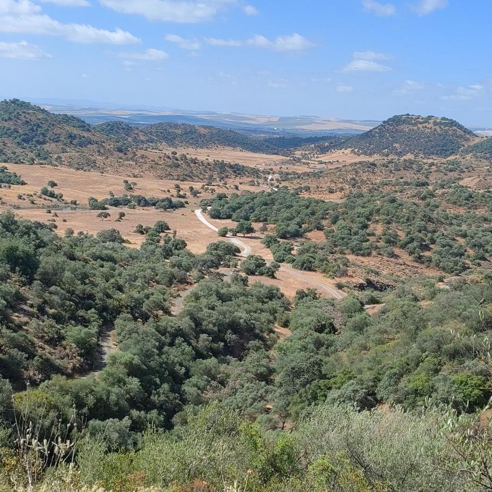
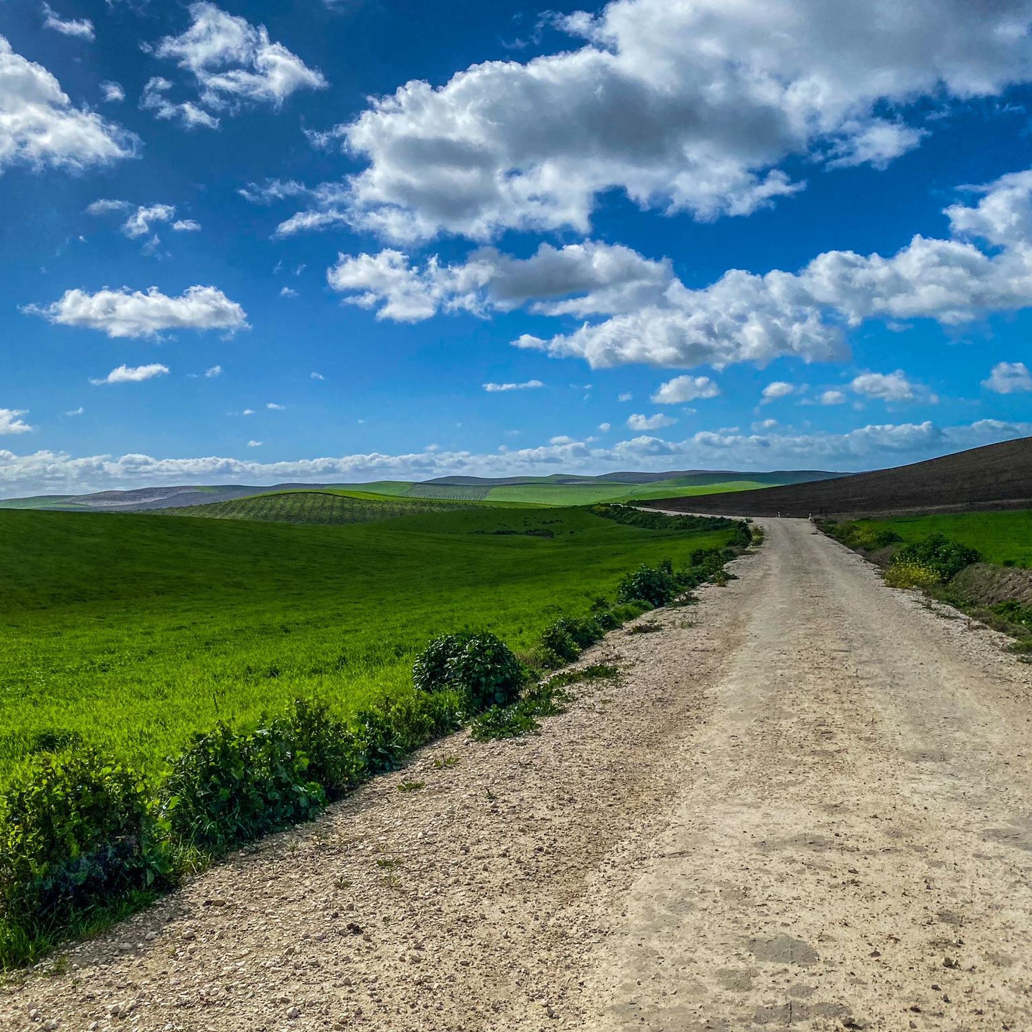
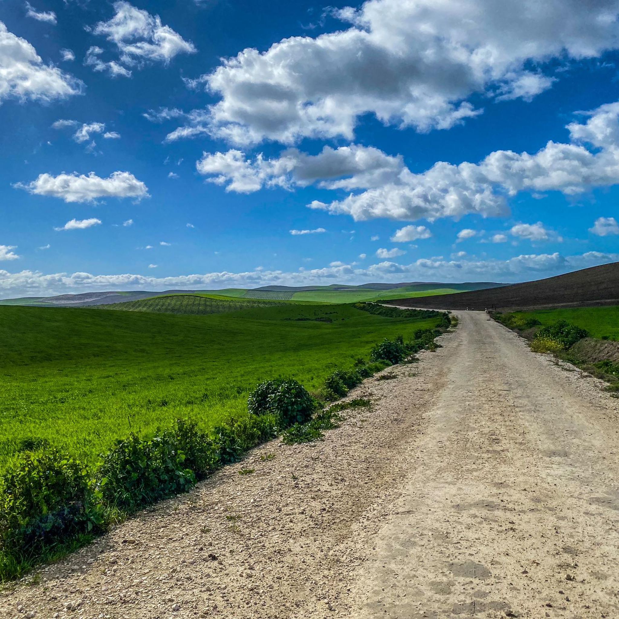
Jogging routes around El Carpio provide access to the region's generally flat to gently rolling landscapes. The area is characterized by rural paths and open countryside, with occasional low hills offering slight elevation changes. These running trails are suitable for various fitness levels, from easy jogs to more challenging distances.
Best jogging routes around El Carpio
- The most popular jogging route is Running loop from Algallarín, a 4.5 miles (7.2 km) trail that takes about 45 minutes to complete.…
Last updated: July 7, 2026
6
runners
7.25km
00:46
20m
20m
Moderate run. Good fitness required. Mostly paved surfaces. Suitable for all skill levels.
5
runners
6.01km
00:38
40m
40m
Moderate run. Good fitness required. Mostly paved surfaces. Suitable for all skill levels.

Sign up for free
3
runners
15.9km
01:52
160m
160m
Hard run. Very good fitness required. Mostly paved surfaces. Suitable for all skill levels.
2
runners
12.7km
01:28
180m
180m
Moderate run. Good fitness required. Mostly paved surfaces. Suitable for all skill levels.
Our route recommendations are based on thousands of hikes, rides, and runs completed by other people on komoot.
Start today with a free account
Your next adventure awaits.
Login or Signup
Tips from the Community

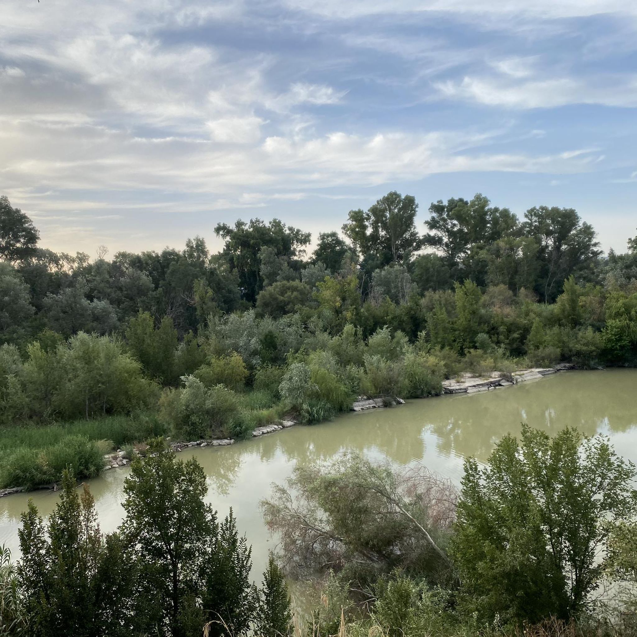
A metal bridge crosses the Guadalquivir River on the outskirts of Villafranca de Córdoba. Built in the late 19th century, it is notable for its riveted iron structure, typical of the engineering of that era.
0
0

Puente de los Remedios welcomes us to the town of Villafranca de Córdoba, this bridge crosses the Guadalquivir River, in the surroundings of this bridge there is a recreational area and a small pier.
0
0

10th century castle built during the Caliphate of Córdoba, a clear example of Muslim military architecture in al-Andalus. The name of the town Bujalance probably comes from "Bury al-Hans" (Tower of the Serpent) - one of the seven towers of the castle. Declared a Historic-Artistic Monument in 1963.
2
0

Pedestrianized bridge that suffered damage during the Civil War and is still visible. That is why among the inhabitants of Villafranca the expression "to have more shots than the iron bridge" is common. Parallel to it runs the Puente de los Remedios, which replaced it for road traffic.
3
0
Agallarín is a town designed from scratch, projected by the INC (National Institute of Colonization) and carried out by the architect Carlos Arniches Moltó. The settlers had to live badly in some barracks close to the construction of the town but later they had a house and land to farm with animals, paying rent after which, after between 15 and 40 years, they were entitled to property.
2
0
Its name comes from "Bury al-Hansh" (Tower of the Serpent), probably in relation to its castle, which is from the time of Abderramán III. Several painters, poets, bullfighters and even tenors have emerged from its streets.
3
0
Frequently Asked Questions
How many running routes are available in El Carpio?
Komoot features a selection of running routes around El Carpio. Currently, there are 2 routes detailed in this guide, offering various distances and difficulty levels for runners.
Are there easy running routes suitable for beginners in El Carpio?
Yes, El Carpio offers easy running options. For instance, the Running loop from Villafranca de Córdoba is an easy 2.6-mile (4.2 km) path with minimal elevation gain, perfect for a quick and gentle run.
What kind of terrain can I expect on the running trails in El Carpio?
The running routes around El Carpio are characterized by generally flat to gently rolling landscapes. You'll find yourself on rural paths and open countryside, with occasional low hills providing slight elevation changes. The region is known for its open fields and quiet country lanes.
Are the running routes around El Carpio typically circular?
Yes, many of the running routes in the El Carpio area are designed as loops, allowing you to start and finish at the same point. Examples include the Running loop from Algallarín and the Running loop from Villafranca de Córdoba.
What is the best time of year for running in El Carpio?
El Carpio, located in Andalusia, experiences hot summers. The most comfortable times for running are typically during the cooler months, from autumn through spring (October to May). During these periods, temperatures are more moderate, making for more enjoyable runs. Early mornings or late evenings are best during summer.
Can I bring my dog on the running trails in El Carpio?
Generally, rural paths and open countryside trails in regions like El Carpio are dog-friendly, especially if your dog is well-behaved and kept under control. However, always be mindful of local regulations, livestock, and other trail users. It's advisable to keep your dog on a leash, especially near agricultural areas.
Are there any interesting landmarks or attractions near the running routes?
Yes, the area around El Carpio has some notable points of interest. While running, you might encounter historical structures like the Puente Mocho or the Villafranca Iron Bridge. These offer glimpses into the region's heritage along your run.
Is public transport available to reach running trails around El Carpio?
Public transport options directly to trailheads in rural areas like El Carpio can be limited. It's often more convenient to reach the starting points of these running routes by car. However, local bus services might connect El Carpio to nearby towns like Villafranca de Córdoba or Algallarín, from where some routes begin.
Where can I find parking near running trails in El Carpio?
For routes starting from towns or villages such as Algallarín or Villafranca de Córdoba, you can typically find street parking in residential areas or designated public parking spaces within the locality. Always check local signage for any restrictions.
Are there cafes or places to refuel near the running routes?
Many of the running routes start or pass through small towns and villages like Algallarín or Villafranca de Córdoba. These communities often have local cafes, bars, or small shops where you can grab a drink or a snack before or after your run.
Do any running routes offer scenic viewpoints?
While the El Carpio region is generally flat to gently rolling, some routes may offer open views of the expansive agricultural landscapes and the Guadalquivir valley. The Bujalance loop from Hinojales, for example, leads through varied rural landscapes that provide scenic vistas of the countryside.
Most popular attractions around El Carpio

Get inspired with the komoot mobile app


Explore more
Browse the best Running Trails & Routes in other regions.
