The best gravel rides around Valdoviño
4.5
(6)
70
riders
12
rides
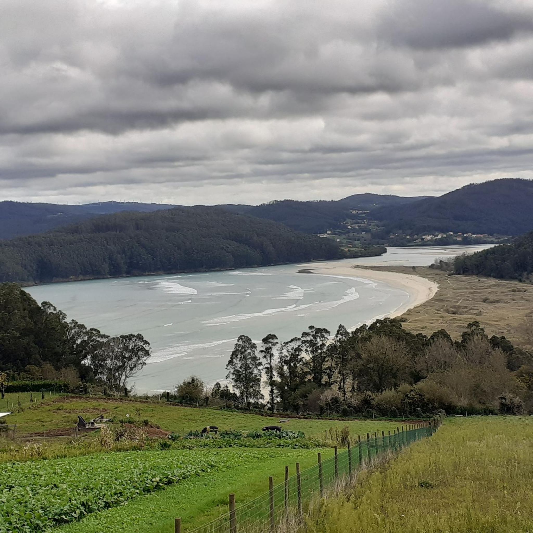
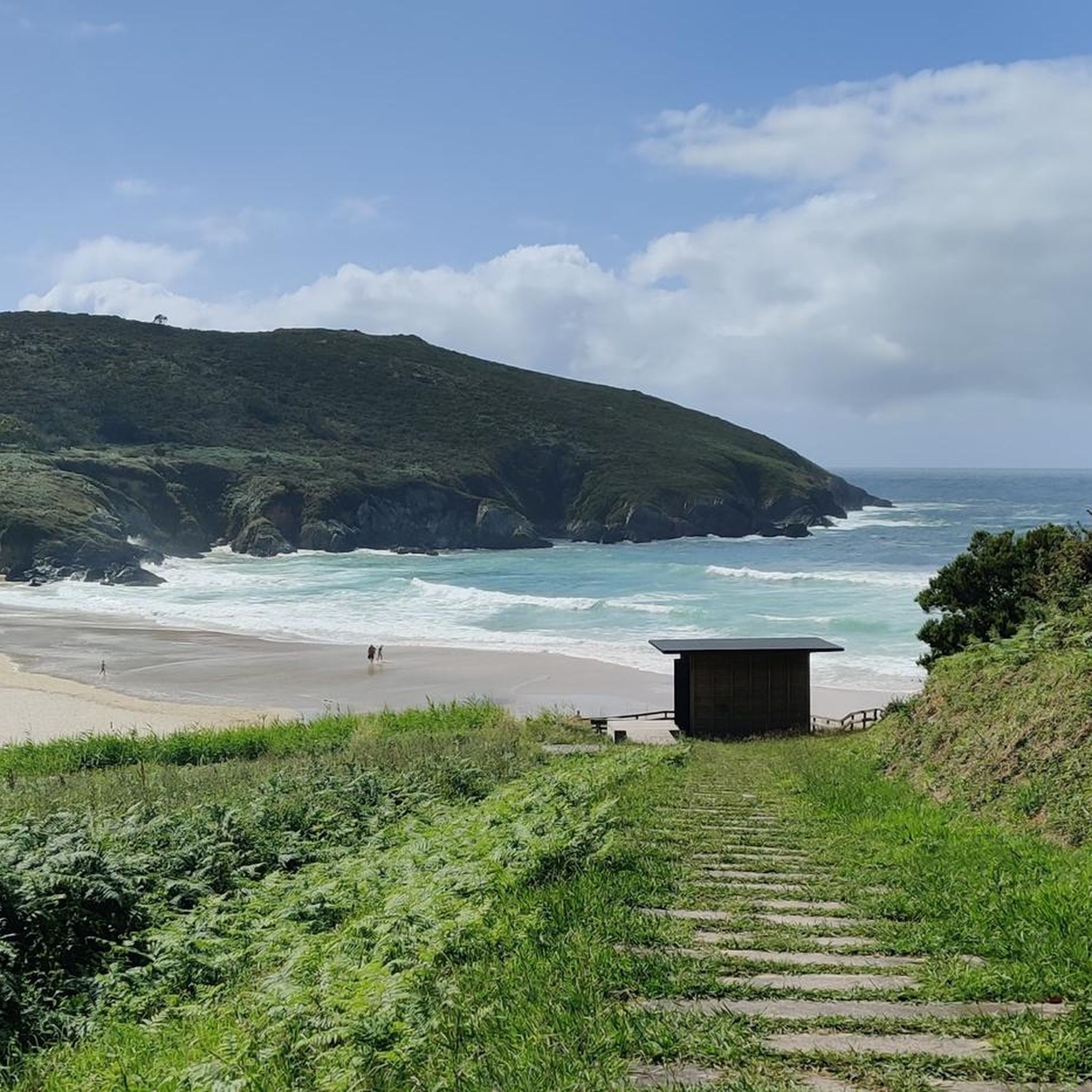
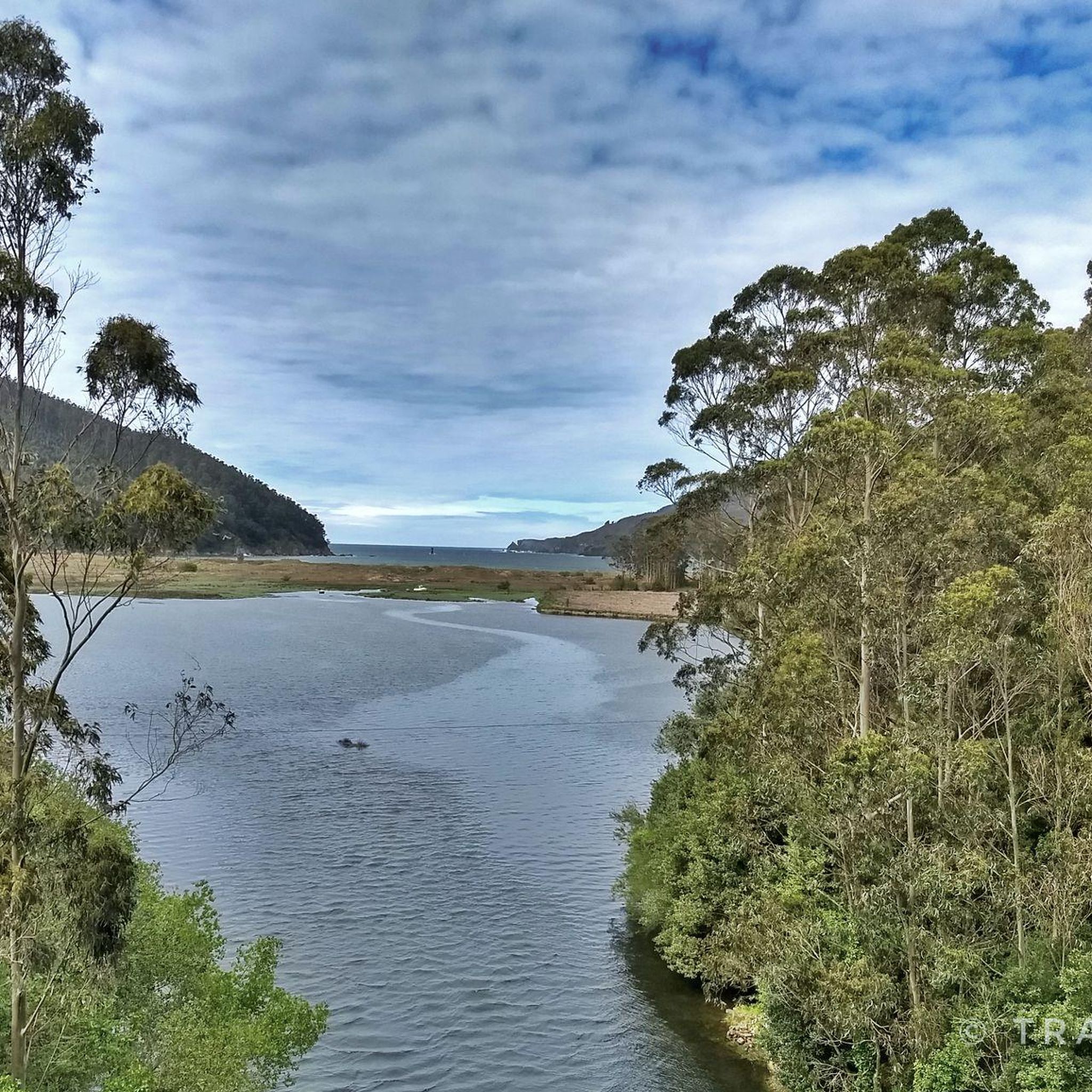
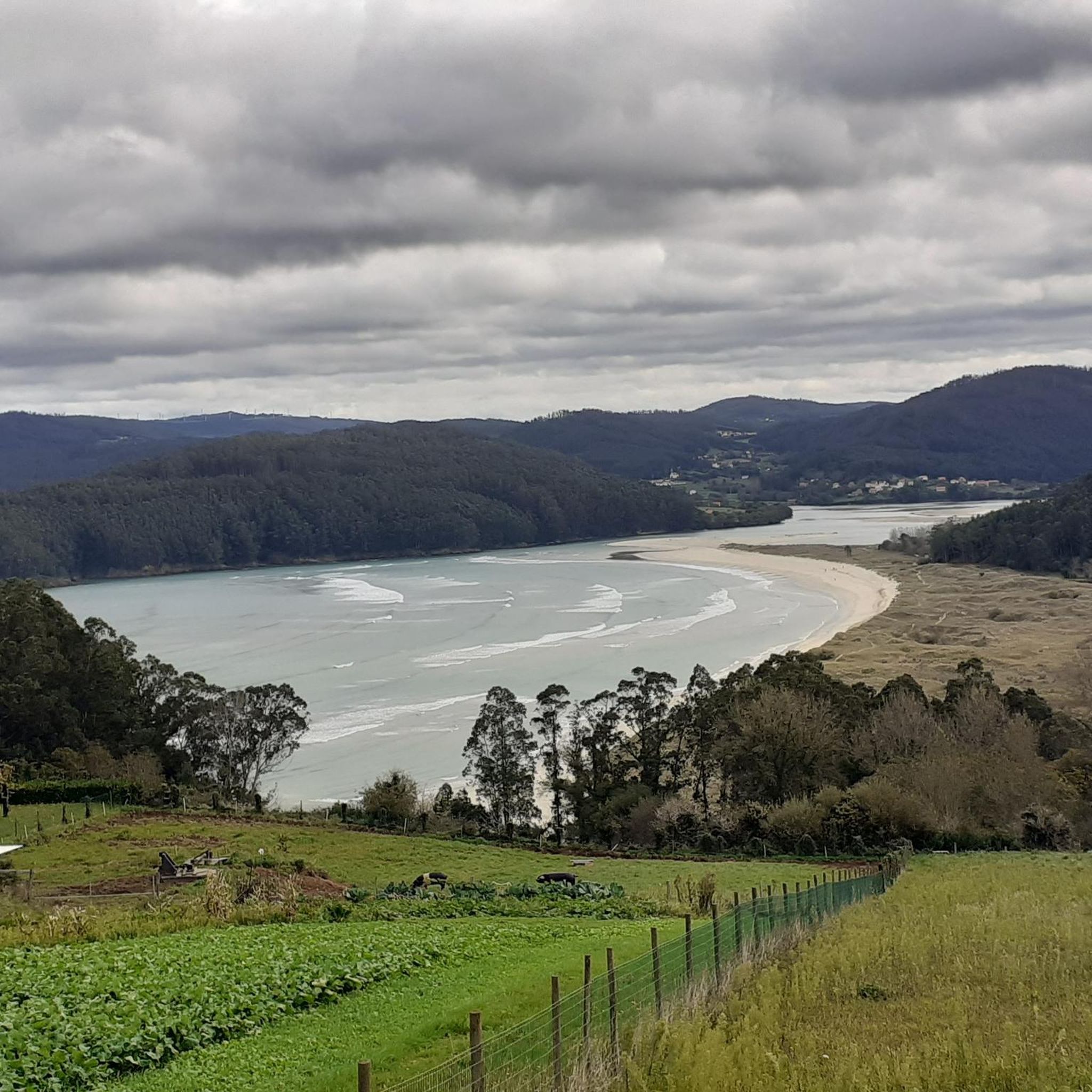
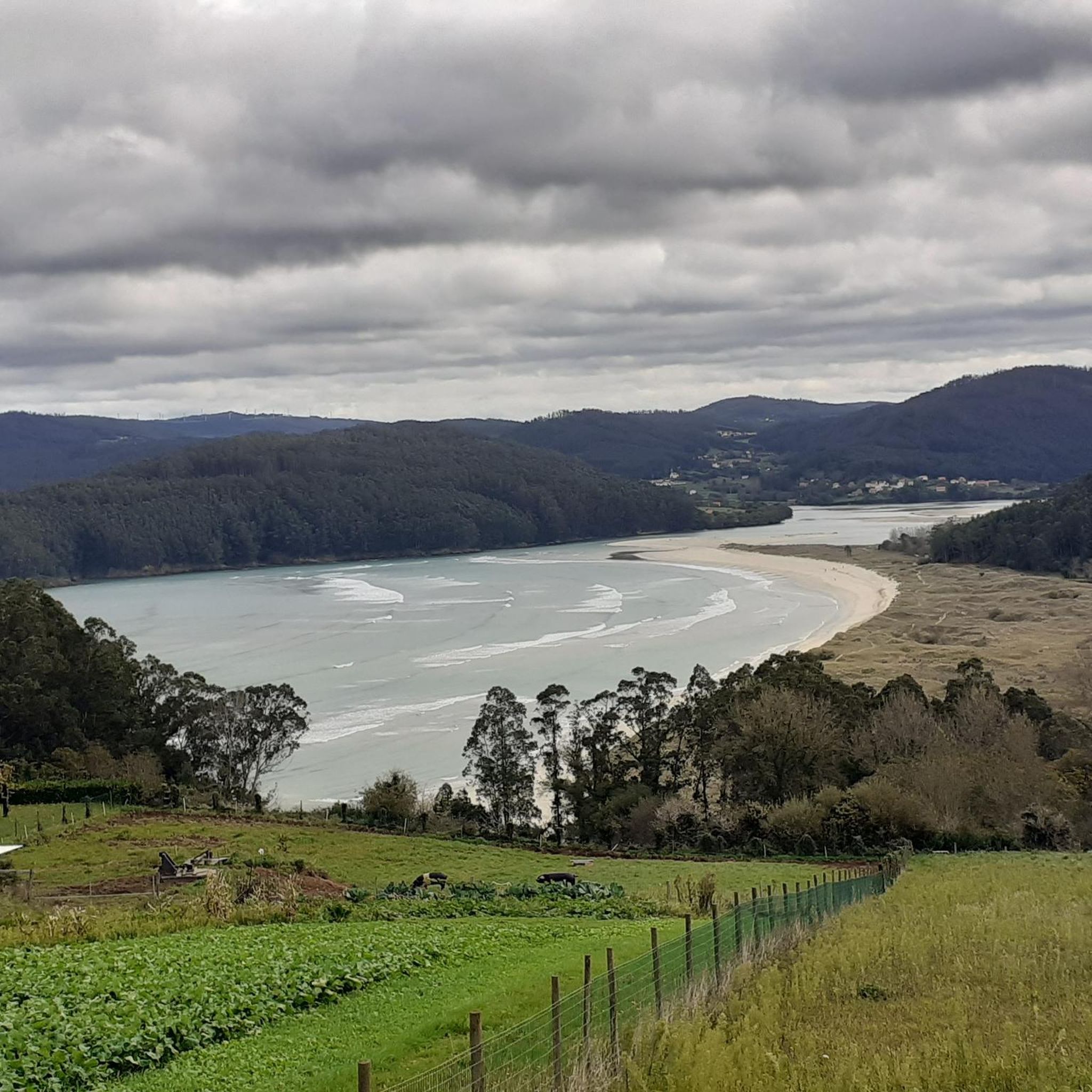
Gravel biking around Valdoviño offers routes through a landscape characterized by its Atlantic coastline, estuaries, and inland hills. The region features a mix of coastal paths, forested sections, and elevated viewpoints. Riders can expect varied terrain, including gravel tracks, dirt roads, and some paved sections connecting natural areas. The topography includes both flat stretches along lagoons and more challenging climbs to scenic overlooks.
Best gravel bike trails around Valdoviño
- The most popular gravel bike trail is Chao do Monte Viewpoint…
Last updated: October 24, 2026
5.0
(1)
10
riders
45.4km
03:43
1,010m
1,010m
Hard gravel ride. Very good fitness required. Mostly paved surfaces.
5.0
(1)
3
riders
Hard gravel ride. Very good fitness required. Mostly paved surfaces.

6
riders
71.7km
05:14
990m
990m
Hard gravel ride. Very good fitness required. You may need to push your bike for some segments of this route.
3.0
(3)
6
riders
33.6km
02:28
670m
660m
Hard gravel ride. Very good fitness required. Mostly paved surfaces.
7
riders
50.6km
03:36
910m
910m
Hard gravel ride. Very good fitness required. Mostly paved surfaces.
Get access to more routes and recommendations from other explorers.
Already have an account?
Our route recommendations are based on thousands of hikes, rides, and runs completed by other people on komoot.
Start today with a free account
Your next adventure awaits.
Tips from the Community

Great view and interesting historical side note. There’s a memorial to a passenger plane shot down in the 2nd world war. It has on board the actor Leslie Howard and it’s thought that the plane was deliberately targeted to get rid of him. 17 other people were killed.
0
0

The path is easy to walk, and there's a wooden walkway opposite the waterfall that offers a good view. It's worth sitting down; there are lots of dragonflies and amphibians.
0
0

A large stone fountain with two taps, located right at the entrance to the Santa Comba beach parking lot.
0
0
A beautiful, wide, and well-maintained promenade, with a wide sidewalk for pedestrians and a bike lane along almost the entire length. You can walk from the entrance to the port of Ferrol to the entrance to the tunnel at the La Graña naval base, covering many kilometers to enjoy the beautiful maritime landscape, which sometimes blends with wooded areas.
0
0
Birdwatching tower of the lagoon, very well located and easily accessible
0
0
Start (or end, depending on how you choose 😅) of a walk or bike ride under the trees and overlooking the lake. Halfway there's a birdwatching point.
0
0

beautiful beach areas directly at Cedeira
0
0

Fervenza do Casón and very close by, the Pozo do inferno. Both are spectacular.
0
0
Frequently Asked Questions
How many gravel bike trails are available in Valdoviño?
There are 15 gravel bike routes documented on komoot for the Valdoviño region, offering a diverse range of experiences from coastal paths to inland hills.
What kind of terrain can I expect on Valdoviño's gravel bike trails?
Valdoviño's gravel trails feature a varied landscape, including coastal paths, forested sections, and elevated viewpoints. You'll encounter a mix of gravel tracks, dirt roads, and some paved sections, with topography ranging from flat stretches along lagoons to more challenging climbs.
Are there any easy or beginner-friendly gravel bike routes in Valdoviño?
While many routes in Valdoviño are rated as difficult, there are 3 moderate routes available. For example, the View of the Harbor – Ría de Ferrol loop from Ferrol is a moderate 15.3-mile (24.6 km) ride that offers a good introduction to the area's coastal scenery.
Which trails offer the best viewpoints or scenic overlooks?
Several routes provide excellent views. The Chao do Monte Viewpoint – Casón Waterfall loop from Santo André de Teixido includes a significant climb to a viewpoint. Another option is the Viewpoint over the Cedeira estuary – View of Praia de Vilarrube loop from A Braxe, which offers stunning coastal vistas.
Are there any routes that pass by waterfalls?
Yes, the Chao do Monte Viewpoint – Casón Waterfall loop from Santo André de Teixido is a 28.1-mile (45.2 km) route that features the Casón Waterfall. Additionally, you can explore the Belelle River Waterfall or the Belelle Waterfall as separate highlights in the region.
What attractions or landmarks can I see near the gravel bike trails in Valdoviño?
Beyond the trails, Valdoviño offers several points of interest. You can visit the historic Monastery of San Martiño de Xuvia, the picturesque village of Saint Andrew of Teixido, or the impressive Punta Frouxeira Lighthouse and its nearby Military Tunnels.
Are there any circular gravel bike routes in Valdoviño?
Many of the gravel bike routes in Valdoviño are designed as loops. Examples include the Frouxeira Lagoon – Cabanas Beach loop from Narón and the Redes Village – Ría de Ferrol loop from Santa Icía, allowing you to start and end at the same point.
What is the best time of year for gravel biking in Valdoviño?
Valdoviño's Atlantic climate means mild temperatures year-round. Spring and autumn generally offer pleasant conditions with less rain and comfortable temperatures. Summer can be warm but is popular for coastal rides, while winter is milder than many other regions, though you should be prepared for potential rain.
What do other gravel bikers say about the trails in Valdoviño?
The gravel biking routes in Valdoviño are well-regarded by the komoot community, with an average rating of 3.4 stars. Riders often appreciate the diverse scenery, from the Atlantic coastline and estuaries to the forested inland hills.
Are there any long-distance or challenging gravel routes for experienced riders?
Yes, Valdoviño offers several challenging routes. The Frouxeira Lagoon – Cabanas Beach loop from Narón is a difficult 43.3-mile (69.7 km) path with significant elevation changes, ideal for experienced gravel bikers seeking a longer, more demanding ride.
Can I find routes that combine coastal views with inland exploration?
Absolutely. The region is known for its blend of Atlantic coastline, estuaries, and inland hills. Routes like the Redes Village – Ría de Ferrol loop from Santa Icía offer a mix of coastal scenery along the Ría de Ferrol and passages through charming villages and natural areas further inland.
Most popular attractions around Valdoviño

Get inspired with the komoot mobile app


Explore more
Browse the best Gravel rides in other regions.
