The best running trails around Area F (Alberni Highway)
4.7
(5)
151
runners
9
runs
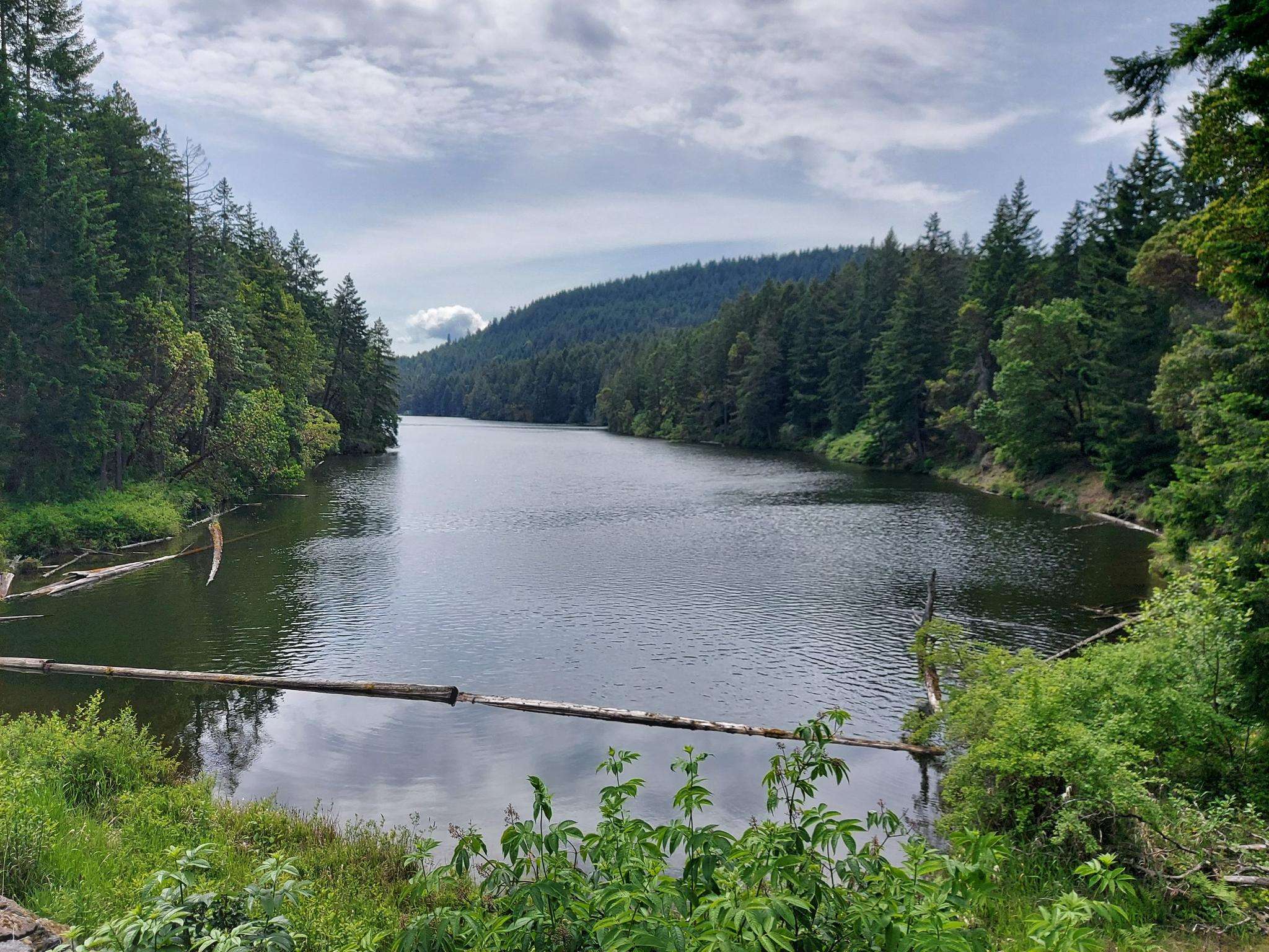
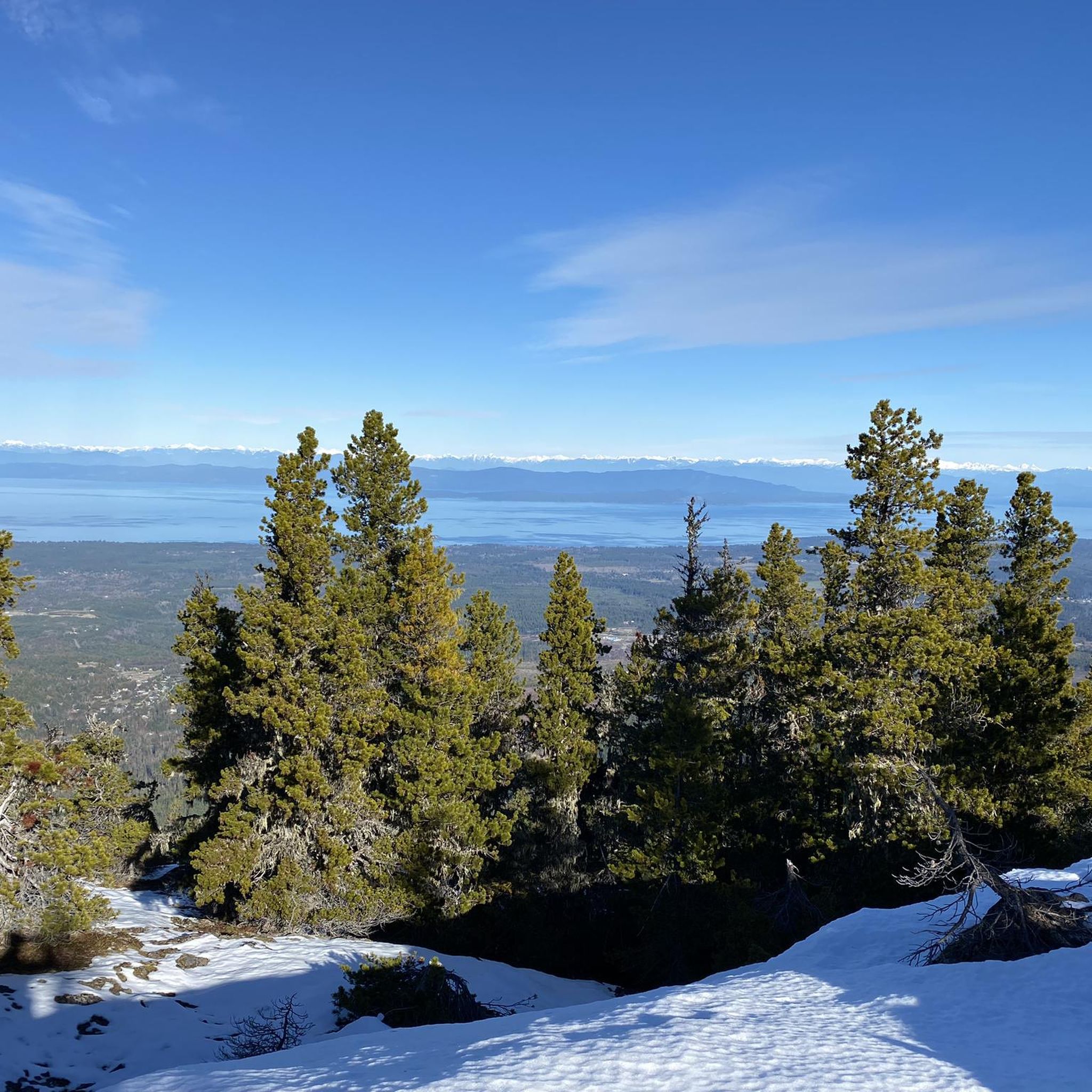
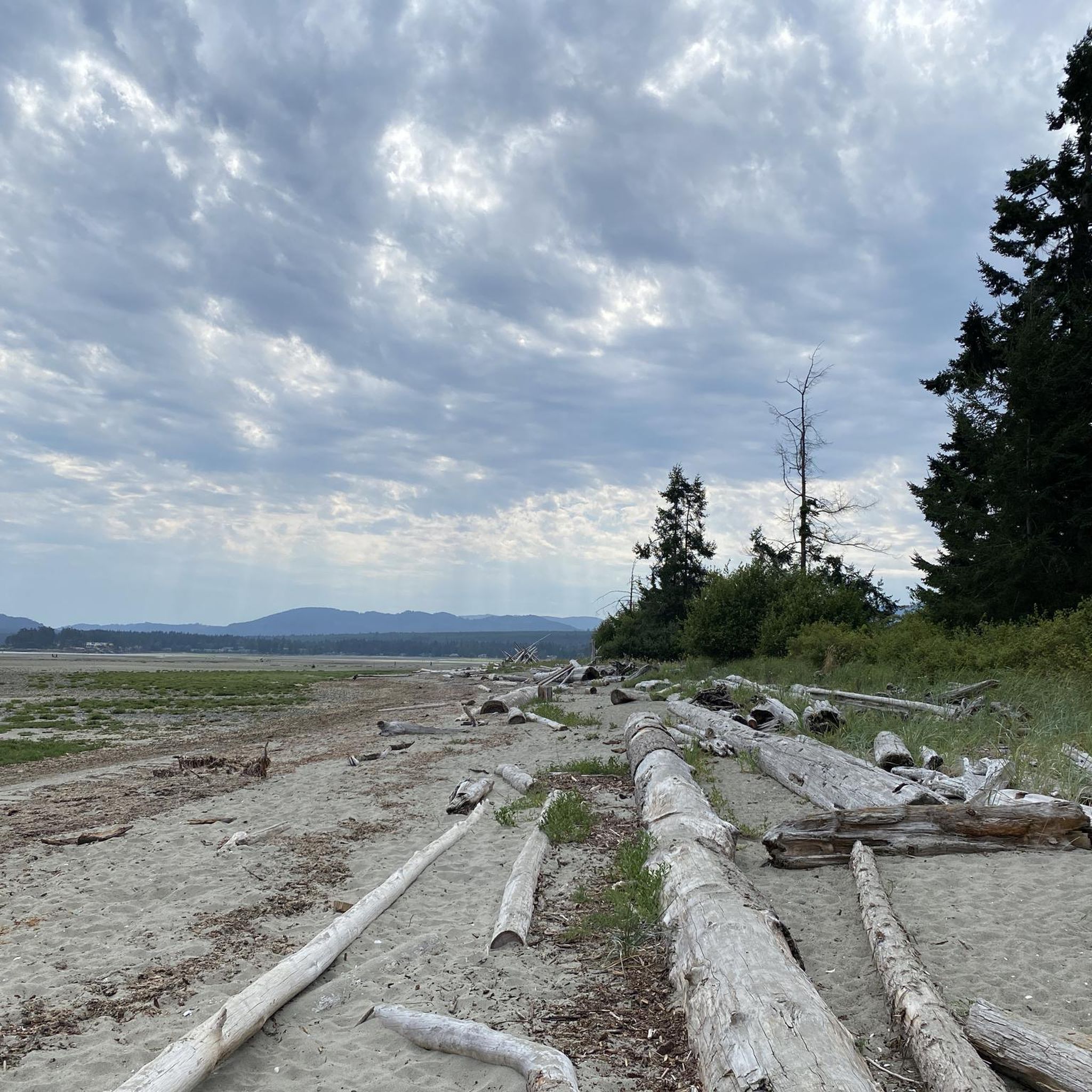
Jogging around Area F (Alberni Highway) offers diverse landscapes for runners, from low-lying areas to primeval rainforests and wild mountain regions. The terrain includes well-maintained paths through ancient forests, alongside freshwater lakes, and leading to scenic waterfalls. This region on Vancouver Island provides a variety of running experiences, catering to different fitness levels. The moderate climate further enhances its appeal for year-round outdoor activities.
Best jogging routes around Area F (Alberni Highway)
- The most popular jogging route is Rathtrevor Beach…
Last updated: October 2, 2026
5.0
(2)
18
runners
11.5km
01:13
80m
80m
Moderate run. Good fitness required. Mostly paved surfaces. Suitable for all skill levels.
16
runners
13.7km
01:26
100m
100m
Moderate run. Good fitness required. Mostly paved surfaces. Suitable for all skill levels.

12
runners
12.8km
01:21
90m
90m
Moderate run. Good fitness required. Mostly paved surfaces. Suitable for all skill levels.
14
runners
4.53km
00:28
40m
40m
Easy run. Great for any fitness level. Mostly paved surfaces. Suitable for all skill levels.
17
runners
7.24km
00:45
50m
50m
Moderate run. Good fitness required. Mostly paved surfaces. Suitable for all skill levels.
Get access to more routes and recommendations from other explorers.
Already have an account?
Our route recommendations are based on thousands of hikes, rides, and runs completed by other people on komoot.
Start today with a free account
Your next adventure awaits.
Popular around Area F (Alberni Highway)
Frequently Asked Questions
How many running routes are available in Area F (Alberni Highway)?
There are over 10 running routes available in Area F (Alberni Highway), catering to various fitness levels. These routes explore diverse landscapes, from ancient forests to scenic lake areas.
What do other runners say about the jogging routes in Area F (Alberni Highway)?
The komoot community rates the routes in Area F (Alberni Highway) highly, with an average score of 5.0 stars from over 1 review. Runners often praise the varied terrain, from coastal paths to forest trails, and the region's natural beauty.
Are there running routes that feature waterfalls in the Alberni Highway region?
Yes, the region offers routes where you can experience beautiful waterfalls. For example, the Upper Falls loop from Little Qualicum Falls - Upper Campground takes you through a forest and past stunning waterfalls. Additionally, the unique natural formation known as Hole-in-the-Wall is another picturesque waterfall attraction in the area.
Which running trails are suitable for families in Area F (Alberni Highway)?
Many trails in the region are family-friendly. The paths in MacMillan Provincial Park, particularly around Cathedral Grove, offer well-maintained wooden paths through ancient forests, suitable for all ages. The Upper Falls loop from Little Qualicum Falls - Upper Campground is an easy option that also appeals to families.
Are there any dog-friendly running trails in the Alberni Highway area?
Many trails in the Alberni Highway region are dog-friendly, but it's always best to check specific park regulations before heading out. Generally, provincial parks like Rathtrevor Beach Provincial Park and MacMillan Provincial Park allow dogs on leash on designated trails. Always ensure your dog is under control and clean up after them.
Where can I find loop jogging routes in Area F (Alberni Highway)?
Several excellent loop jogging routes are available. The Rathtrevor Beach loop from Rathtrevor Beach Provincial Park is a popular moderate option. Another favorite is the McLean Mill Log Pond – L.167 loop from Maplehurst Park, offering a mix of forest and pond views. For a shorter, easier option, consider the Upper Falls loop from Little Qualicum Falls - Upper Campground.
What kind of terrain can I expect on the running routes in Area F (Alberni Highway)?
The terrain is highly diverse, ranging from mostly paved surfaces at places like Rathtrevor Beach Provincial Park to well-maintained wooden paths through ancient forests in MacMillan Provincial Park. You'll also find trails traversing low-lying areas, primeval rainforests, and wild mountain regions, offering a variety of inclines and surfaces for different running preferences.
Are there any easy running routes for beginners in the Alberni Highway region?
Yes, there are easy running options suitable for beginners. The Upper Falls loop from Little Qualicum Falls - Upper Campground is an easy 2.8-mile (4.5 km) trail that is often completed in under 30 minutes, making it a great choice for those new to running or looking for a relaxed jog.
What are some scenic points of interest I can see while running in Area F (Alberni Highway)?
While jogging, you can encounter several scenic points. Cathedral Trail, MacMillan Park offers ancient trees and a unique forest atmosphere. You might also spot The Big Tree (Douglas-fir). The region is also known for its freshwater lakes like Cameron Lake and Sproat Lake, and attractions like Hole-in-the-Wall waterfall.
Is parking available at the trailheads in Area F (Alberni Highway)?
Parking is generally available at the starting points for many popular trails. For instance, routes like the Rathtrevor Beach loop start from Rathtrevor Beach Provincial Park, which has dedicated parking facilities. Similarly, trails near McLean Mill and Little Qualicum Falls also offer parking. It's advisable to check specific park websites for any parking fees or regulations.
What is the best time of year for jogging in Area F (Alberni Highway)?
The moderate climate of Area F (Alberni Highway) makes it suitable for year-round outdoor activities, including jogging. However, spring and fall often offer the most pleasant temperatures for running, with lush greenery in spring and vibrant colors in autumn. Summer is also popular, but trails can be busier. Winter jogging is possible, but some higher elevation trails might be affected by snow or ice.
Are there any longer distance running trails for experienced runners?
Yes, for experienced runners looking for longer distances, the region offers several options. The McLean Mill Log Pond – L.167 loop from Maplehurst Park is a moderate 8.5-mile (13.7 km) path. Another option is the Rathtrevor Beach loop from Parksville, which covers 12.8 km. For those seeking significant elevation gain, the Judges Route up Mount Arrowsmith offers a challenging 6 km round trip.
Can I find places to eat or stay near the running routes in Area F (Alberni Highway)?
Yes, the Alberni Highway region, including areas like Parksville, Qualicum Beach, and Port Alberni, offers various amenities. You can find cafes, pubs, and accommodation options near many popular running areas, such as Rathtrevor Beach Provincial Park, Little Qualicum Falls, and MacMillan Provincial Park. For more information on local services, you can visit Alberni Valley Tourism.
Most popular routes around Area F (Alberni Highway)
Most popular attractions around Area F (Alberni Highway)

Get inspired with the komoot mobile app


Explore more
Browse the best Running Trails & Routes in other regions.
