The best walks and hikes around Lac-Ashuapmushuan
4.3
(20)
281
hikers
5
hikes
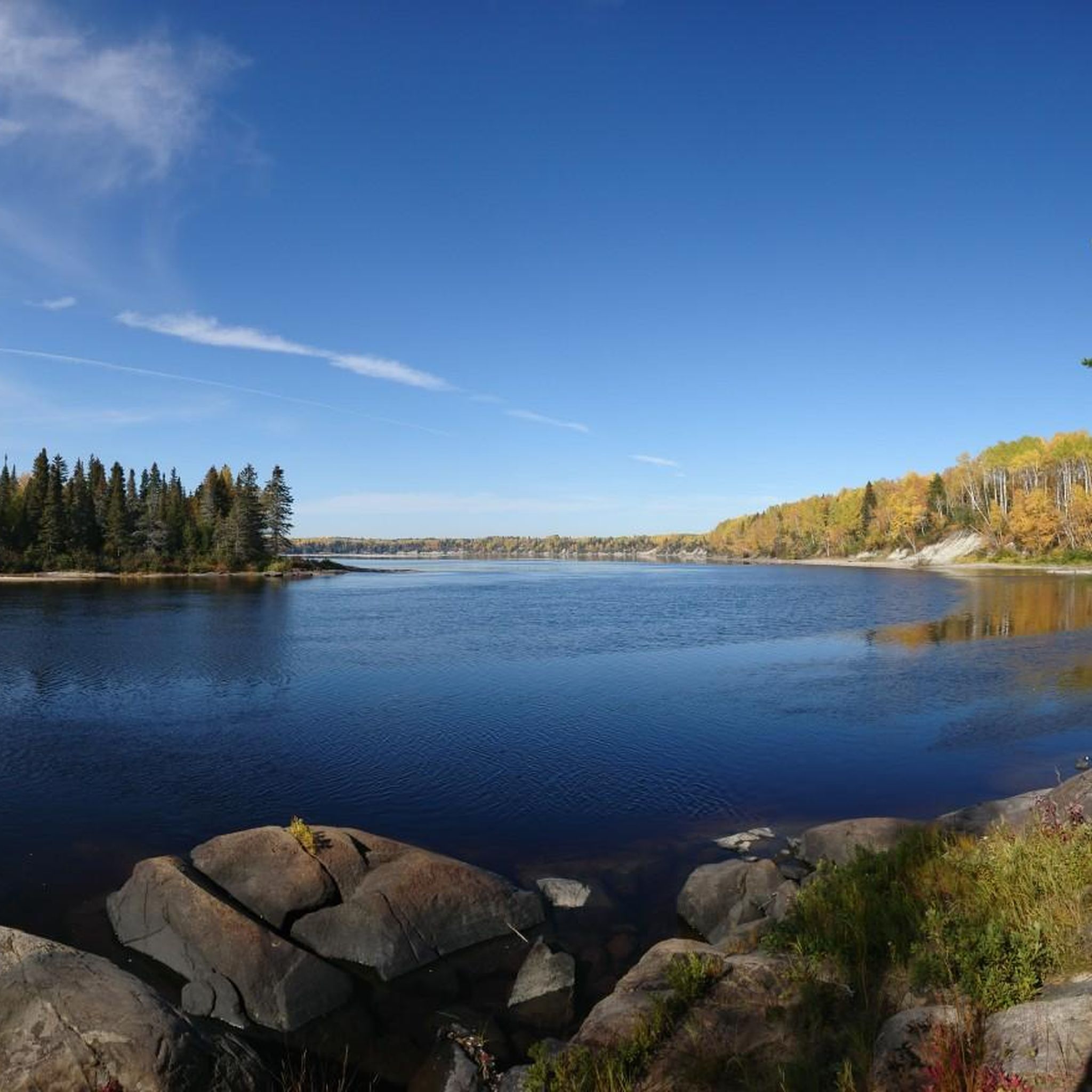
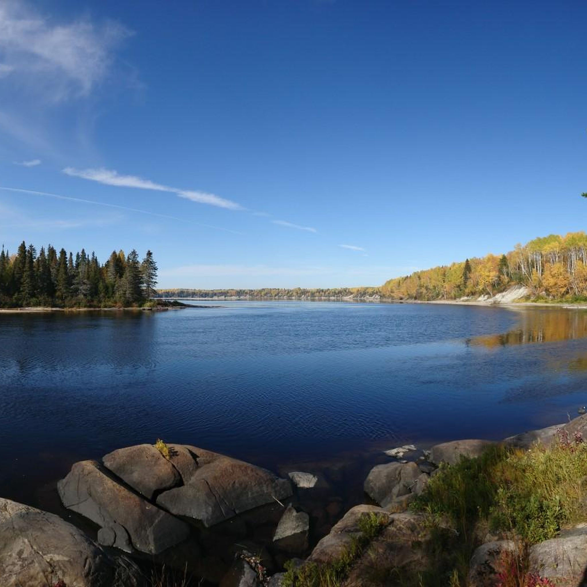
Hiking around Lac-Ashuapmushuan, particularly within the Ashuapmushuan Wildlife Reserve, features an extensive network of over 1,200 lakes, rivers, and streams, with Lac Ashuapmushuan and the Ashuapmushuan River as central features. The terrain includes vast wilderness areas and diverse landscapes. Notable natural attractions include the Chutes de la Chaudière, a powerful waterfall accessible via short natural trails. The region's name, derived from the Innu word for "place where we watch for moose," indicates abundant wildlife.
Best hiking trails around Lac-Ashuapmushuan
- The…
Last updated: October 2, 2026
4.3
(8)
33
hikers
5.33km
01:34
140m
140m
Easy hike. Great for any fitness level. Easily-accessible paths. Suitable for all skill levels.
5
hikers
8.87km
02:18
50m
50m
Moderate hike. Good fitness required. Easily-accessible paths. Suitable for all skill levels.

3.5
(2)
29
hikers
Easy hike. Great for any fitness level. Easily-accessible paths. Suitable for all skill levels.
4.3
(3)
10
hikers
4.81km
01:19
70m
70m
Easy hike. Great for any fitness level. Easily-accessible paths. Suitable for all skill levels.
11
hikers
4.46km
01:09
20m
20m
Easy hike. Great for any fitness level. Easily-accessible paths. Suitable for all skill levels.
Our route recommendations are based on thousands of hikes, rides, and runs completed by other people on komoot.
Start today with a free account
Your next adventure awaits.
Popular around Lac-Ashuapmushuan
Tips from the Community

A mature forest with trees that are, in some cases, over 100 years old. Get your cameras ready, the colours are a real spectacle.
0
0
The path allows you to walk right next to the river, which accompanies you with its sound. Footbridges allow you to cross from one bank to the other.
0
0
The marked trail follows the natural corridor of the Ouiatchouan river and allows you to admire how the water has marked the rocks over time.
0
0
A beautiful viewpoint overlooking the lake, to be admired from the Ouiatchouan trail.
0
0

The historic village of Val-Jalbert has that little ghost town feel that works instantly. You walk among the old wooden houses, the school, the industrial buildings… and it’s easy to imagine life here a hundred years ago. And then there’s Ouiatchouan Falls, which you hear before you see it.
0
0
This old mill, which can be visited, is a wood pulp mill that enjoyed its golden age at the beginning of the 20th century. In 1927, it ceased operations.
0
0
From here, you have a breathtaking view of Ouiatchouan Falls. At 72 meters high, it's even taller than Niagara Falls. What's most impressive, however, is the sheer power of the sound.
0
0

The Sentier Ouiatchouan stretches for about 30 kilometers along the Ouiatchouan River between the historic village of Val-Jalbert and the Ermitage Saint-Antoine in Lac-Bouchette, Quebec. The trail offers breathtaking views of numerous rapids, including the Maligne and Ouiatchouan Falls, which stand at 72 meters high. The route passes through a diverse mixed forest, some of which includes trees over 100 years old, and runs over mountains that offer panoramic views of Lac Saint-Jean. The trail offers various entry points that allow for shorter hikes, such as the 20 km Sentier des Draveurs from Saint-François-de-Sales to Val-Jalbert and the 10 km Sentier des Portageurs to the Ermitage. There are also shorter loop trails for easy exploration, such as the 6 km Sentier de Philomène or the 5 km Sentier du Flâneur. There are also shelters and bivouac opportunities along the trail, making it attractive for multi-day trips. The name “Ouiatchouan” comes from the Innu language and means “white broth” in reference to the rapids. Combining nature, history and scenic beauty, this trail attracts hikers and outdoor enthusiasts looking for a deeper experience of the Saguenay-Lac-Saint-Jean region.
1
0
Frequently Asked Questions
What natural features or waterfalls can I see while hiking in Lac-Ashuapmushuan?
The region is rich in natural beauty, featuring over 1,200 lakes, rivers, and streams. A major highlight is the majestic Chutes de la Chaudière, a powerful waterfall accessible via short natural trails offering multiple viewpoints. You can also find the View of Chute Ouiatchouan and the Trou de la Fée Waterfall, both offering stunning sights.
Are there any circular hiking routes available in Lac-Ashuapmushuan?
Yes, several circular routes are available. For an easy option, consider the Ouiatchouan Trail Loop, which is 5.3 km long. Another popular choice is the Point de vue loop from Val Jalbert, a 5.5 km trail through forested areas. The Trou à Philomène – View of Chute Ouiatchouan loop from Val Jalbert is also a good easy loop option.
What is the general difficulty level of hiking trails in the region?
Hiking in Lac-Ashuapmushuan caters to various skill levels. Most of the trails are rated as easy, such as the Ouiatchouan Trail Loop and the Point de vue loop from Val Jalbert. There are also moderate options like the 8.9 km Ouiatchouan Trail, providing a good range for different fitness levels.
How long do hikes typically take in Lac-Ashuapmushuan?
Hike durations vary depending on the trail and your pace. For example, the 5.3 km Ouiatchouan Trail Loop typically takes about 1 hour and 34 minutes. A longer moderate trail like the 8.9 km Ouiatchouan Trail can take around 2 hours and 18 minutes.
Are there family-friendly hiking options in Lac-Ashuapmushuan?
Yes, many trails are suitable for families. Paths like the Point de vue loop from Val Jalbert and the Trou à Philomène – View of Chute Ouiatchouan loop from Val Jalbert are considered suitable for all skill levels, making them great choices for families. The short natural trails around Chutes de la Chaudière are also easily accessible.
Can I expect to see wildlife while hiking in the Ashuapmushuan region?
Absolutely. The region's name, derived from the Innu word meaning 'place where we watch for moose,' hints at the abundant wildlife. You have a good chance of observing various animals, including moose, especially in the vast wilderness areas of the Ashuapmushuan Wildlife Reserve.
When is the best time of year to go hiking in Lac-Ashuapmushuan?
The best time for hiking is generally during the warmer months, from late spring to early autumn, when trails are clear of snow and ice. This period offers pleasant temperatures and full access to all trails and natural attractions. Always check local conditions before heading out.
What do other hikers say about the trails in Lac-Ashuapmushuan?
The trails in Lac-Ashuapmushuan are highly rated by the komoot community, with an average score of 4.2 stars from over 15 reviews. Hikers often praise the diverse landscapes, the extensive network of waterways, and the opportunities to experience true wilderness.
Are there any specific permits required for hiking in the Ashuapmushuan Wildlife Reserve?
Access to the Ashuapmushuan Wildlife Reserve typically requires permits or entry fees, especially for activities like hiking, fishing, or camping. It's advisable to check the official Sépaq website or contact the reserve directly for the most current information on permits and regulations before your visit.
What are some notable viewpoints or landmarks accessible via hiking trails?
Beyond the impressive Chutes de la Chaudière, hikers can enjoy the View of Chute Ouiatchouan, which is part of several popular loops. The Point de vue loop from Val Jalbert specifically leads to scenic viewpoints. The region also has archaeological sites and historical areas reflecting its past as a fur trade route.
What are the typical trail conditions like in Lac-Ashuapmushuan?
Trails in Lac-Ashuapmushuan range from easily accessible paths to more rugged natural trails, especially those leading to features like the Chutes de la Chaudière. While many are well-maintained, some areas, particularly those requiring travel along forest roads, might be better suited for SUVs or trucks. Expect varied terrain, from forested areas to paths alongside waterways.
Most popular routes around Lac-Ashuapmushuan
Most popular attractions around Lac-Ashuapmushuan

Get inspired with the komoot mobile app


Explore more
Browse the best Hikes in other regions.
