The best running trails around Ahigal
5.0
(1)
42
runners
6
runs
Jogging around Ahigal, located in Spain's Extremadura region, offers diverse natural landscapes for outdoor activity. The area is characterized by a generally gentle topography with an average altitude of around 400 meters, featuring local water bodies like the Ahigal Dam and Reservoir on the Palomero River. Extensive holm oak and cork oak woodlands provide a natural backdrop for running routes. While the local terrain is mild, the proximity to the Sierra de Gata mountain range offers access to more varied…
Last updated: June 30, 2026
22
runners
Moderate run. Good fitness required. Mostly paved surfaces. Suitable for all skill levels.
5.0
(1)
7
runners
7.60km
00:48
50m
50m
Moderate run. Good fitness required. Mostly paved surfaces. Suitable for all skill levels.

Sign up for free
3
runners
7.94km
00:50
40m
40m
Moderate run. Good fitness required. Mostly paved surfaces. Suitable for all skill levels.
4
runners
23.3km
03:01
560m
560m
Hard run. Very good fitness required. Mostly paved surfaces. Suitable for all skill levels.
3
runners
12.2km
01:16
70m
70m
Moderate run. Good fitness required. Mostly paved surfaces. Suitable for all skill levels.
Our route recommendations are based on thousands of hikes, rides, and runs completed by other people on komoot.
Start today with a free account
Your next adventure awaits.
Login or Signup
Popular around Ahigal
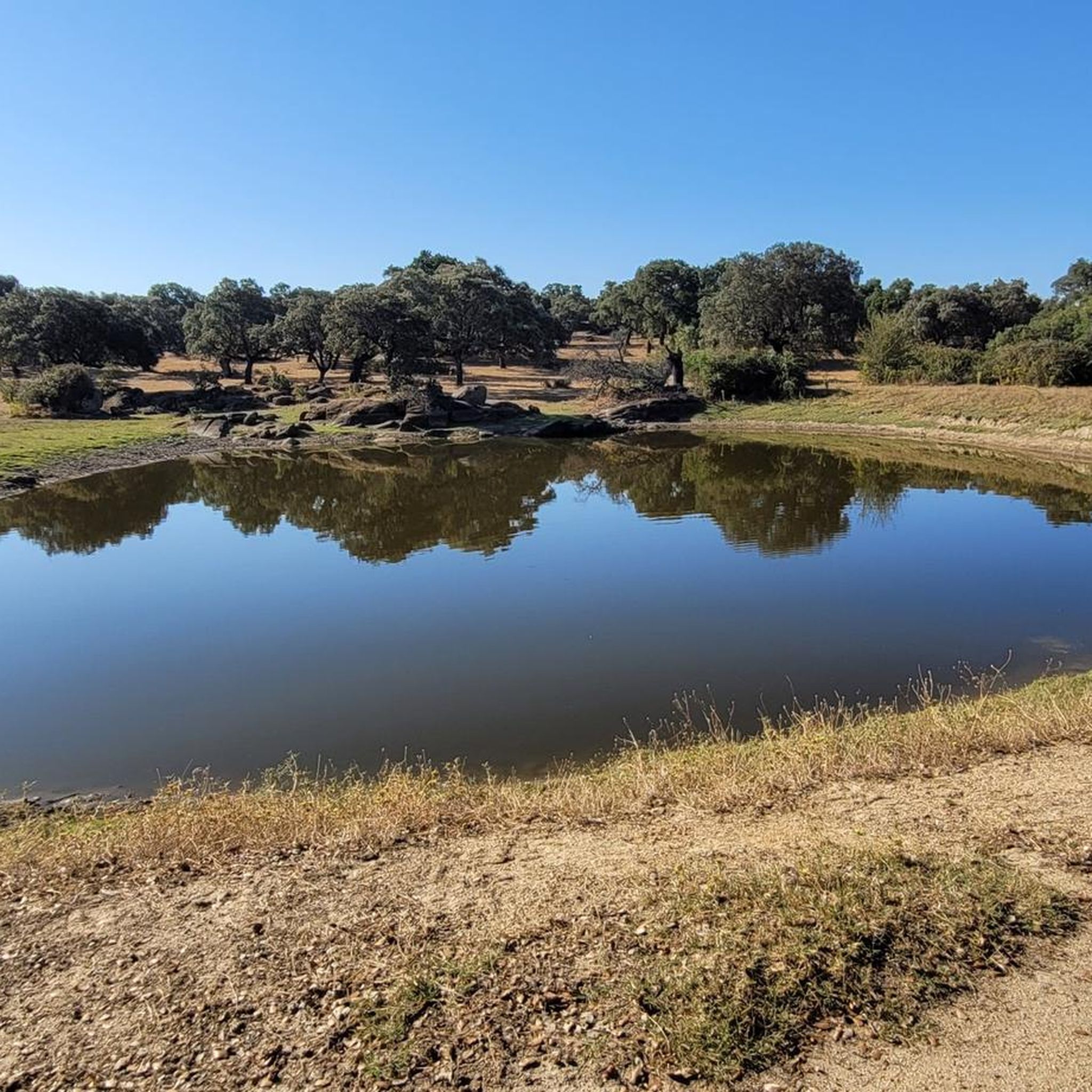
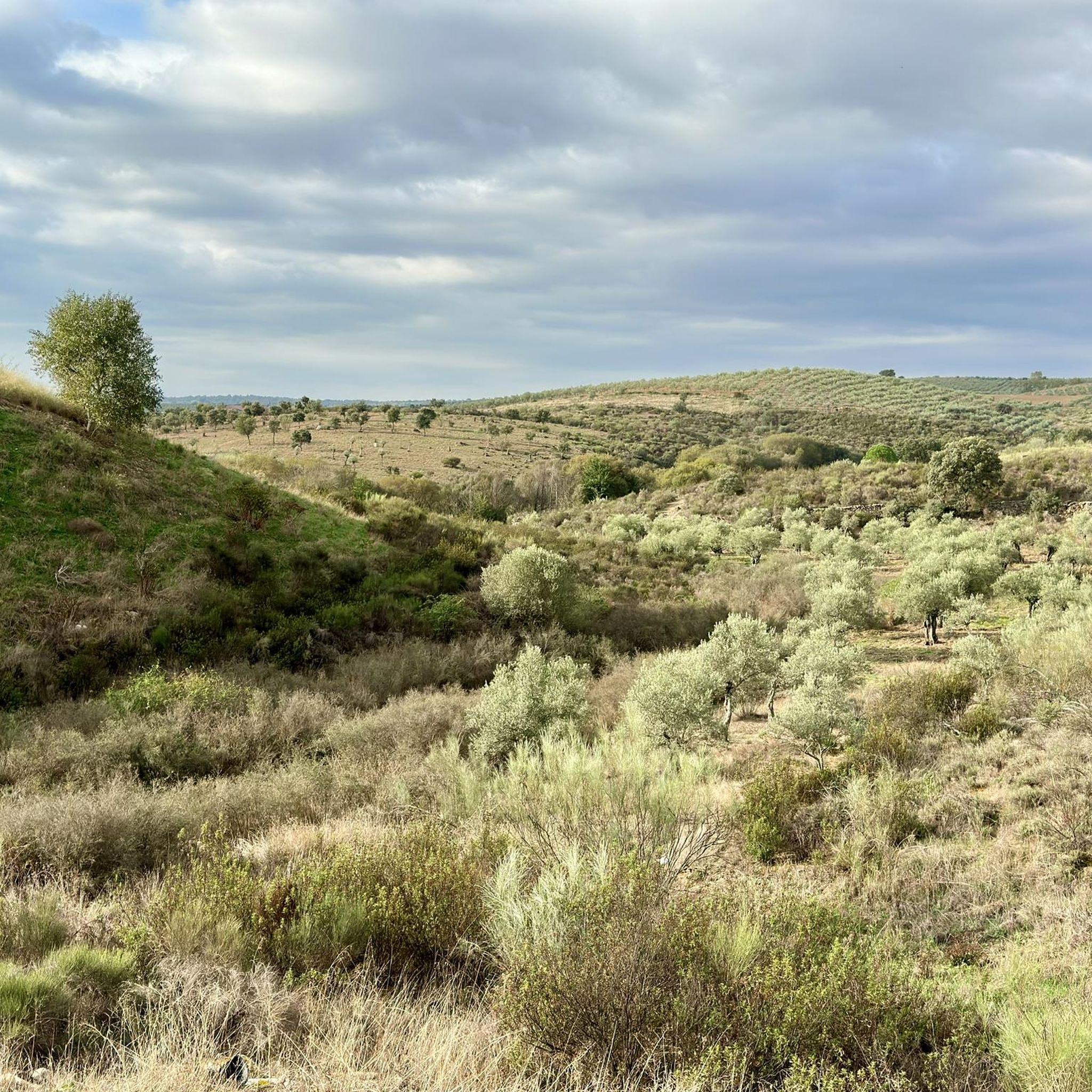
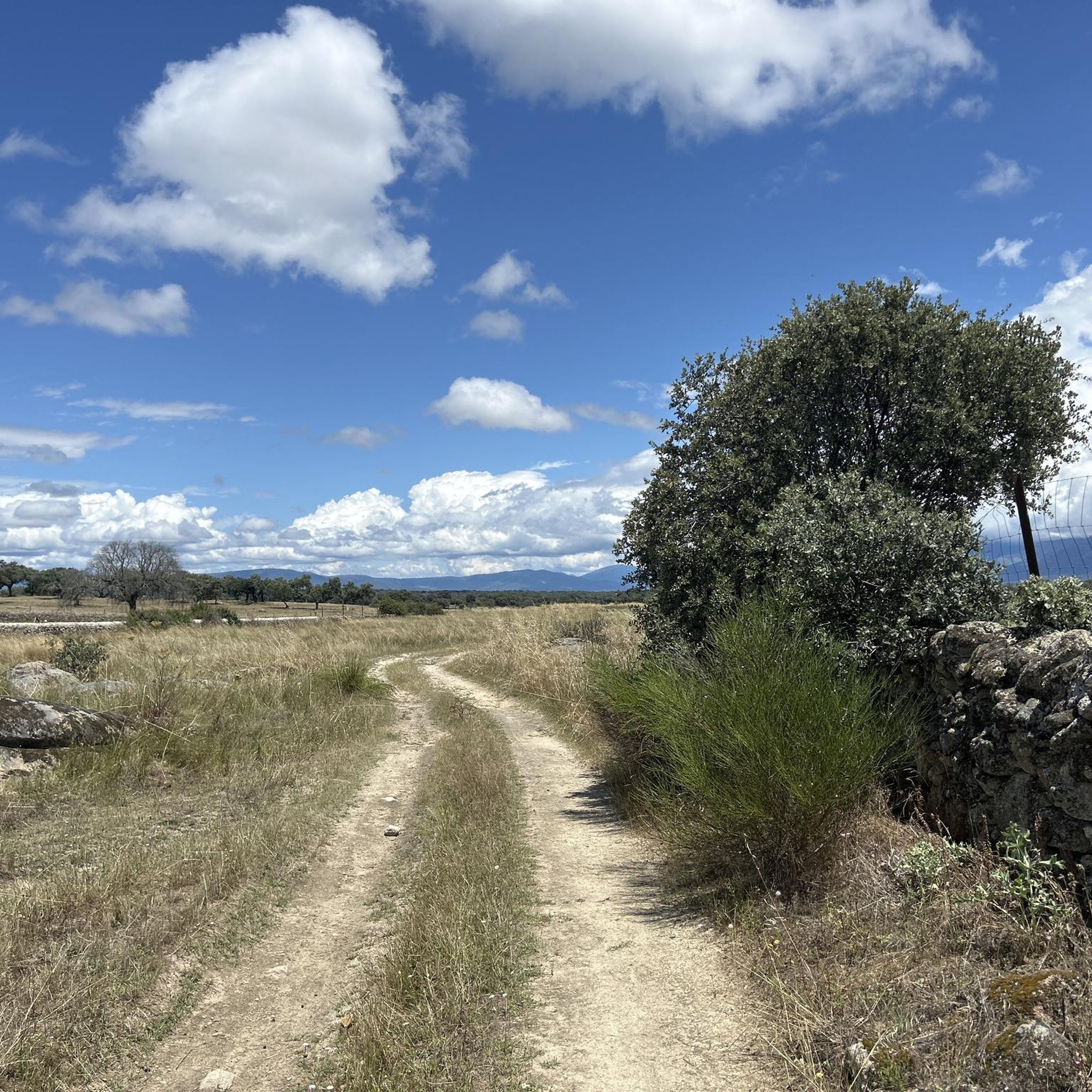
Tips from the Community

Beautiful path that follows the Río Jerte in its northern exit from the city of Plasencia. You can see the hydroelectric plant at this point on the same river.
0
1
This is a piece of the Vía Verde that leaves the city of Plasencia and follows the Río Jerte in a northerly direction. At this point we find an iron bridge that helps to cross the same river with precise views of the gorge.
0
1


The green lung of the city, Parque del Cachón is located on the southern bank of the Jerte River.
1
0
Carcaboso is a small town in the Las Vegas del Alagón region, between Montehermoso and Plasencia. From Roman times, the town is located next to the Jerte river and the Vía de la Plata.
1
0
Frequently Asked Questions
What kind of running routes can I expect around Ahigal?
Ahigal offers a diverse range of running experiences. You'll find routes with generally gentle topography, especially around local water bodies like the Ahigal Dam and Reservoir, and through extensive holm oak and cork oak woodlands. For those seeking more challenge, the nearby Sierra de Gata mountain range provides varied and more difficult trails.
Are there running trails suitable for beginners in Ahigal?
Yes, Ahigal has several moderate routes ideal for beginners or those looking for a less strenuous run. For example, the Iron Bridge (Greenway) loop from Monte Valcorchero is a moderate 7.6 km path with minimal elevation gain, offering a relatively flat greenway experience. Another good option is the Carcaboso loop from Carcaboso, a 7.9 km trail through agricultural landscapes.
What are the more challenging running options near Ahigal?
For experienced runners seeking a challenge, the proximity to the Sierra de Gata mountain range opens up more difficult trails. An example is the Sierra de Dios Padre loop from Santa Cruz de Paniagua, a demanding 23.3 km route with significant elevation gain, offering rugged mountain terrain and panoramic views.
Can I find circular running routes in the Ahigal area?
Yes, many of the running routes around Ahigal are designed as loops, providing convenient circular options. Popular choices include the Jerte River through Plasencia – Iron Bridge (Greenway) loop from Monte Valcorchero, the Iron Bridge (Greenway) loop from Monte Valcorchero, and the Carcaboso loop from Carcaboso.
What natural features or landmarks can I see while running in Ahigal?
Running in Ahigal offers scenic views of the Ahigal Dam and Reservoir on the Palomero River, as well as the Alagón River. The region is characterized by beautiful holm oak and cork oak woodlands. In the nearby Sierra de Gata, you might encounter natural swimming pools like the Jevero natural swimming pool or the Cervigona waterfall. You can also explore historical sites such as the Arco de Cáparra or the Ermita de la Virgen del Puerto.
Are there any running trails suitable for families with children?
While specific 'family-friendly' designations aren't always explicit, routes with gentle terrain and shorter distances are generally suitable. The Iron Bridge (Greenway) loop from Monte Valcorchero, at 7.6 km with minimal elevation, could be a good option for families looking for a relatively flat and accessible path.
What is the best time of year to go running in Ahigal?
The Extremadura region generally offers a pleasant climate for outdoor activities. Spring and autumn are typically ideal, with milder temperatures and lush landscapes. Summer can be hot, so early morning or late evening runs are recommended. Winter offers cooler conditions, suitable for running, especially in the lower altitude areas.
Are there opportunities for wildlife spotting on the running trails?
Yes, the natural environment around Ahigal and the Sierra de Gata provides opportunities for wildlife observation. The Borbollón Reservoir, located in the Sierra de Gata, is a Special Protection Area for birds, making routes around its perimeter excellent for birdwatching while you run. The extensive woodlands also host various local fauna.
What do other runners say about the trails in Ahigal?
The running routes in Ahigal are highly rated by the komoot community, with an impressive average score of 5.0 stars. More than 40 runners have explored the area using komoot, often praising the varied terrain, from serene river paths to challenging mountain trails, and the beautiful natural backdrop of oak woodlands and reservoirs.
How many running routes are available in the Ahigal area?
There are several dedicated running routes around Ahigal, with komoot featuring 6 distinct trails. These range in difficulty from moderate to difficult, offering options for various fitness levels and preferences.
Are there any long-distance running options or trails that connect villages?
While the guide focuses on specific routes, the Sierra de Gata region, adjacent to Ahigal, is known for its extensive network of trails, including sections of the GR 10-E7 long-distance trail. These trails often connect historic villages, providing opportunities for longer runs or multi-stage adventures through diverse landscapes.
Most popular attractions around Ahigal

Get inspired with the komoot mobile app


Explore more
Browse the best Running Trails & Routes in other regions.
