The best walks and hikes around Ferreruela
7
hikers
5
hikes
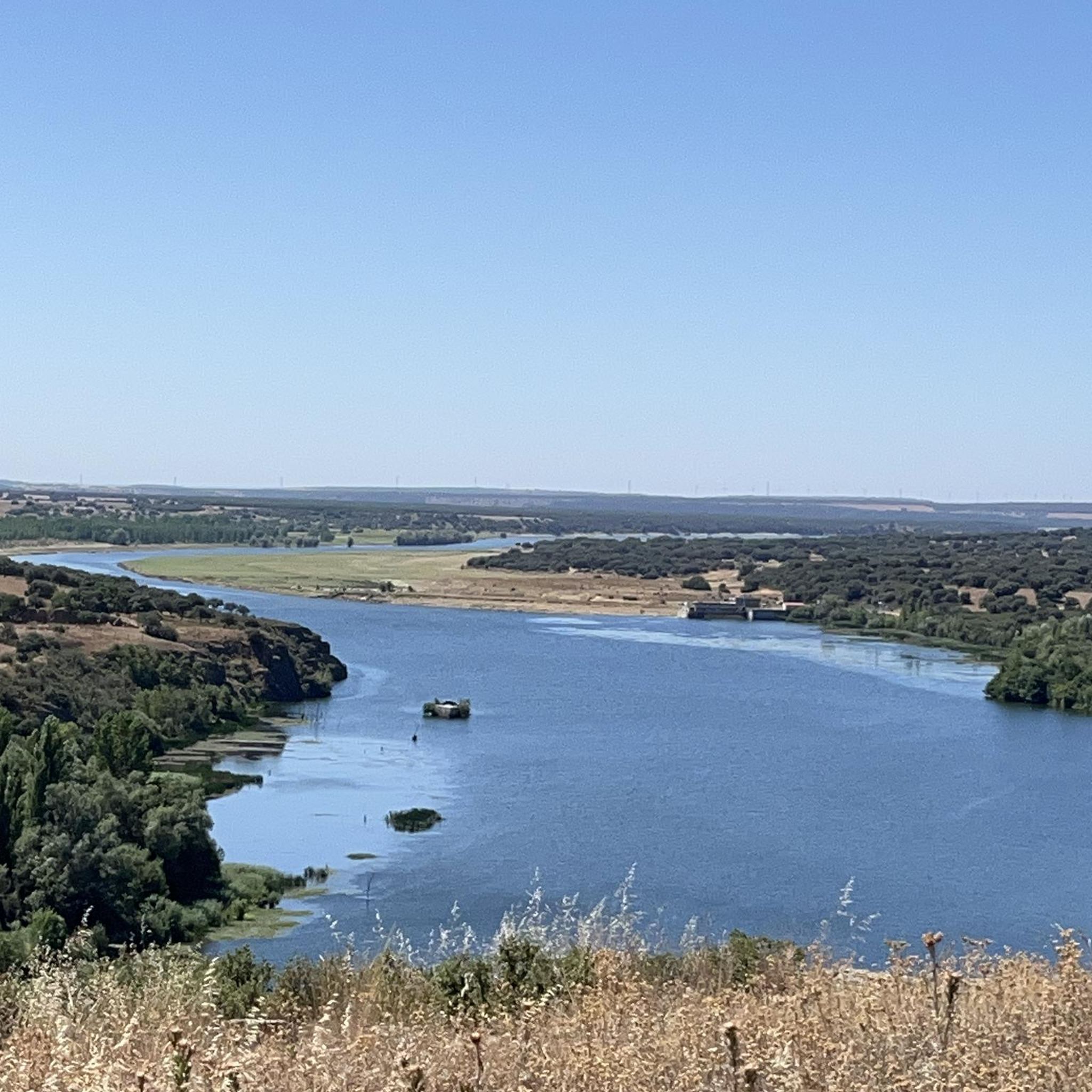
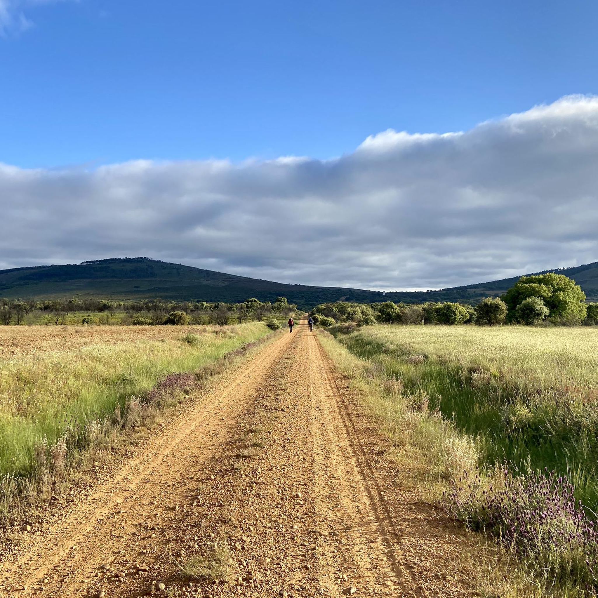
Hiking around Ferreruela offers diverse terrain for outdoor activities, particularly in the Ferreruela de Tábara region. The area is characterized by the slopes of the Sierra de la Culebra, known for its natural beauty and expansive views. The Aliste River is a significant natural feature, with its canyon providing views from elevated points. Dense pine forests and rocky ridges contribute to varied trekking experiences.
Best hiking trails around Ferreruela
- The most popular hiking route is Castros de Castillan y Valdemera — circular desde Ferreras de Arriba, a 5.2 miles (8.4 km) trail that takes 2 hours 27 minutes to complete. This moderate route explores ancient walled complexes on rocky outcrops, offering panoramic views of the Sierra de la Culebra.
- Another top favourite among local hikers is Route of the Corrals (PR-ZA 3), a moderate 9.2 miles (14.8 km) path. This trail leads through the region's characteristic pine forests and rocky ridges.
- Local hikers also love the Abejera Shoeing Frame loop from Abejera, a 3.3 miles (5.3 km) trail leading through local landscapes, often completed in about 1 hour 24 minutes.
- Hiking around Ferreruela is defined by the Sierra de la Culebra, the Aliste River canyon, and varied pine forests. The network offers options for different ability levels, from easy loops to more challenging routes.
- The guide includes highly-rated routes that showcase the best of the region's landscape. More than 7 hikers have used komoot to explore Ferreruela's varied terrain.
Last updated: July 13, 2026
2
hikers
8.44km
02:27
240m
250m
Moderate hike. Good fitness required. Easily-accessible paths. Suitable for all skill levels.
14.8km
04:00
190m
190m
Moderate hike. Good fitness required. Mostly accessible paths. Sure-footedness required.

Sign up for free
2
hikers
5.31km
01:25
60m
60m
Easy hike. Great for any fitness level. Easily-accessible paths. Suitable for all skill levels.
2
hikers
18.6km
05:00
230m
230m
Moderate hike. Good fitness required. Easily-accessible paths. Suitable for all skill levels.
1
hikers
5.28km
01:21
20m
20m
Easy hike. Great for any fitness level. Easily-accessible paths. Suitable for all skill levels.
Our route recommendations are based on thousands of hikes, rides, and runs completed by other people on komoot.
Start today with a free account
Your next adventure awaits.
Login or Signup
Popular around Ferreruela
Tips from the Community

another example of a corral restored a few years ago
1
0
wonderful enclave with traditional corals
1
0

Walking through the dense pine forests, we come across the stone outcrop where the Castro de Valdemera sits. Before beginning the access to the rocky ridges we find a spring in the same rock, surrounded by stones, which rather forms a deep pool. From the top we can see the walled complex of the castro, surrounded by the remains of the wall. Climbing to the top of the stones, we can contemplate the entire Sierra de la Culebra and give you an idea of how big the castro was.
1
0
Following the path between chestnut and pine trees we arrive at the Castillán fort. The views from the top are really beautiful and allow you to contemplate the entire Sierra de la Culebra and get an idea of how big the castro was. Awesome!
1
0
From Abejera, heading north to ascend the Sierra de Sesnandez, we come across this Potro de Herrar, a structure that is used to hold horses, donkeys or even cows to make it easier for them to be shoeed or treated. They can be seen in any of the rural towns of the Spanish geography.
2
0
Nice recreational area where there is a refuge and the Corrales de Tozalfreno, one of these rehabilitated, whose use was to protect cattle from wolves.
2
0
Located in the small town of Riofrío de Aliste, we find this beautiful Las Mayadicas Recreational Area. An ideal place to rest and/or recover energy. There are tables and barbecue for picnic. And you can see the Sierra de la Culebra in the background
2
0
Nice recreational area where there is a refuge and the Corrales de Tozalfreno, one of these rehabilitated, whose use was to protect cattle from wolves.
1
0
Frequently Asked Questions
What kind of terrain can I expect on hikes around Ferreruela?
The hiking trails around Ferreruela, particularly in the Ferreruela de Tábara region, offer diverse terrain. You'll encounter the slopes of the Sierra de la Culebra, dense pine forests, and rocky ridges. The area also features the Aliste River canyon, providing spectacular views from elevated points. For example, the Route of the Corrals (PR-ZA 3) leads through characteristic pine forests and rocky ridges.
Are there any easy hiking trails suitable for beginners or a relaxed walk?
Yes, Ferreruela offers several easy trails. An excellent option is the Abejera Shoeing Frame loop from Abejera, which is 5.3 km long and typically takes about 1 hour 24 minutes to complete. Another easy route is the La Milana Natural Area loop from Sesnández de Tábara, covering 5.2 km.
What are some notable landmarks or historical sites I can see while hiking?
The region is rich in history and natural beauty. You can explore ancient walled complexes like Castro de Valdemera, which offers panoramic views of the Sierra de la Culebra. The ruins of Alba Castle, perched on a defensive hill overlooking the Aliste river, also provide spectacular views of the river canyon. The nearby town of Tábara also has a rich medieval history.
Are there any circular hiking routes in Ferreruela?
Yes, there are several circular routes available. A popular choice is the Castros de Castillan y Valdemera — circular desde Ferreras de Arriba, a moderate 8.4 km trail that explores ancient complexes and offers panoramic views. Another option is the Abejera Shoeing Frame loop from Abejera, an easy 5.3 km route.
What is the best time of year to go hiking in Ferreruela?
While specific seasonal recommendations are not detailed, the diverse landscapes of Ferreruela, with its pine forests and river features, suggest that spring and autumn would offer pleasant temperatures and vibrant scenery. Summer can be warm, making early mornings or late afternoons ideal, while winter might offer a different, quieter experience, especially in the Sierra de la Culebra.
Are there any challenging hikes for experienced trekkers?
Yes, for those seeking a more demanding experience, the Abejera Shoeing Frame – Corrales de Tozalfreno loop from Abejera is a difficult route. This trail spans 18.5 km and involves significant elevation changes, providing a good challenge for experienced hikers.
Can I expect good viewpoints or scenic overlooks on the trails?
Absolutely. The region is known for its scenic beauty. Hikes in the Sierra de la Culebra offer expansive views across the mountain range. The Aliste River canyon also provides spectacular vistas, especially from elevated points. Trails like the Castros de Castillan y Valdemera — circular desde Ferreras de Arriba are specifically noted for their panoramic views.
What kind of natural features define the Ferreruela hiking experience?
The hiking experience in Ferreruela is largely defined by the Sierra de la Culebra, known for its natural beauty and wildlife. The Aliste River is another significant natural feature, with its canyon offering dramatic scenery. Hikers will also traverse dense pine forests and rocky ridges, providing a varied and engaging natural environment.
How long do hikes around Ferreruela typically take?
Hiking durations vary depending on the route's length and difficulty. Easy trails like the Abejera Shoeing Frame loop from Abejera can be completed in about 1 hour 24 minutes. Moderate routes, such as the Castros de Castillan y Valdemera — circular desde Ferreras de Arriba, typically take around 2 hours 27 minutes. Longer, more difficult trails can take upwards of 5 hours.
Is Ferreruela de Tábara the primary hiking area, or are there other regions?
While the guide focuses on Ferreruela, the most detailed information and hiking opportunities are primarily found in the Ferreruela de Tábara region, situated on the slopes of the Sierra de la Culebra. There is also a Ferreruela de Huerva in Teruel province, which offers a quieter natural setting within the Sierra de Cucalón mountains, but specific hiking trails for that area are less detailed.
What makes the Sierra de la Culebra special for hikers in Ferreruela?
The Sierra de la Culebra is a significant draw for hikers due to its renowned natural beauty and diverse wildlife. It offers expansive views and varied terrain, including pine forests and rocky outcrops. Many trails in the Ferreruela de Tábara area are situated within or offer views of this mountain range, making it a central part of the hiking experience.
Most popular routes around Ferreruela
Most popular attractions around Ferreruela

Get inspired with the komoot mobile app


Explore more
Browse the best Hikes in other regions.
