The best gravel rides around Serrania Baja
5.0
(7)
52
riders
8
rides
Gravel biking around Serrania Baja offers an extensive network of trails through a landscape characterized by low population density and minimal car traffic. The region features diverse terrain, including karstic formations, river gorges, and dense forests of Scots pine and black pine. These natural features provide varied gravel biking terrain, from forest roads to double tracks, suitable for off-road cycling.
Best gravel bike trails around Serrania Baja
- The most popular gravel bike trail is Chorros de Barchel Waterfalls – Views…
Last updated: October 21, 2026
5.0
(2)
9
riders
67.0km
05:49
1,430m
1,430m
Hard gravel ride. Very good fitness required. Mostly paved surfaces.
5.0
(2)
7
riders
37.8km
02:29
570m
580m
Hard gravel ride. Very good fitness required. Mostly paved surfaces.

10
riders
107km
07:05
1,580m
1,580m
Hard gravel ride. Very good fitness required. Mostly paved surfaces.
5.0
(1)
4
riders
62.5km
04:52
1,000m
1,000m
Hard gravel ride. Very good fitness required. Mostly paved surfaces.
5.0
(1)
13
riders
108km
07:56
1,920m
1,920m
Hard gravel ride. Very good fitness required. Mostly paved surfaces.
5.0
(1)
4
riders
46.8km
03:31
1,150m
1,150m
Hard gravel ride. Very good fitness required. Mostly paved surfaces.
3
riders
45.3km
03:21
950m
950m
Hard gravel ride. Very good fitness required. Mostly paved surfaces.
2
riders
47.4km
03:40
750m
750m
Hard gravel ride. Very good fitness required. Mostly paved surfaces.
Our route recommendations are based on thousands of hikes, rides, and runs completed by other people on komoot.
Start today with a free account
Your next adventure awaits.
Popular around Serrania Baja
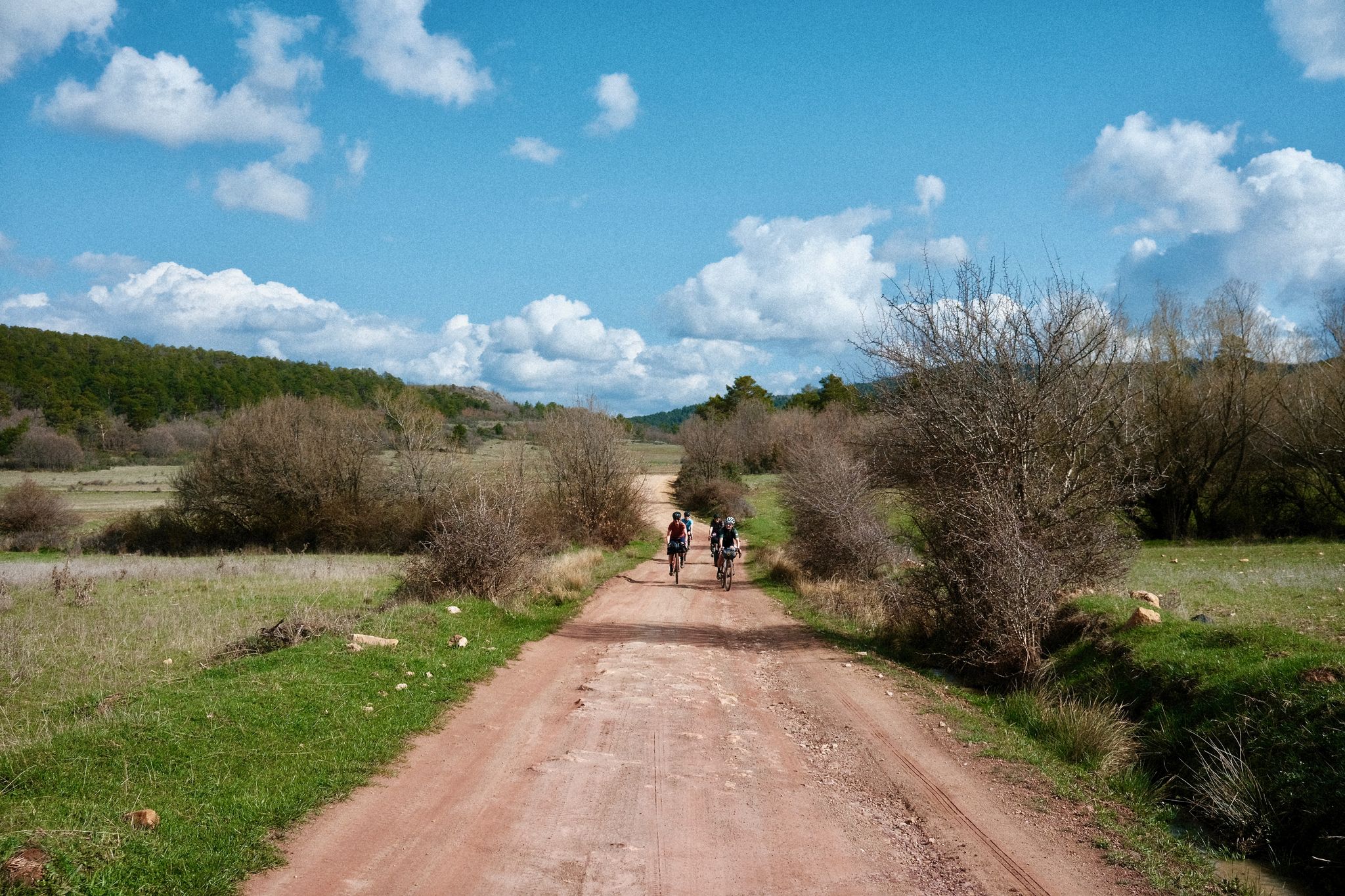
Women's Montañas Vacías 2022 — bikepack in rural Spain
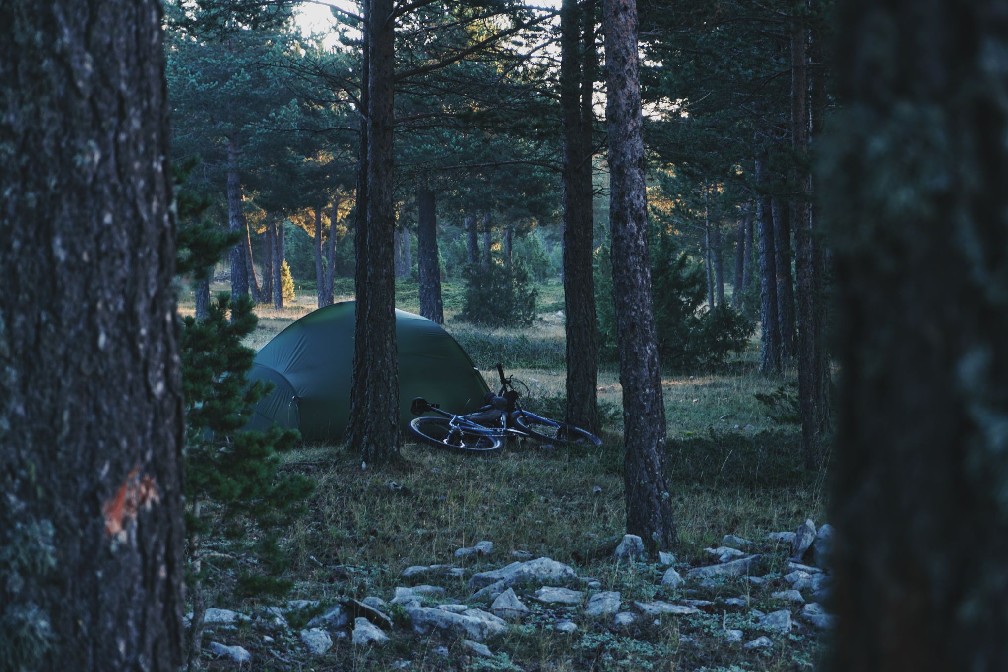
MontañasVacías official — bikepacking across the Spanish Lapland
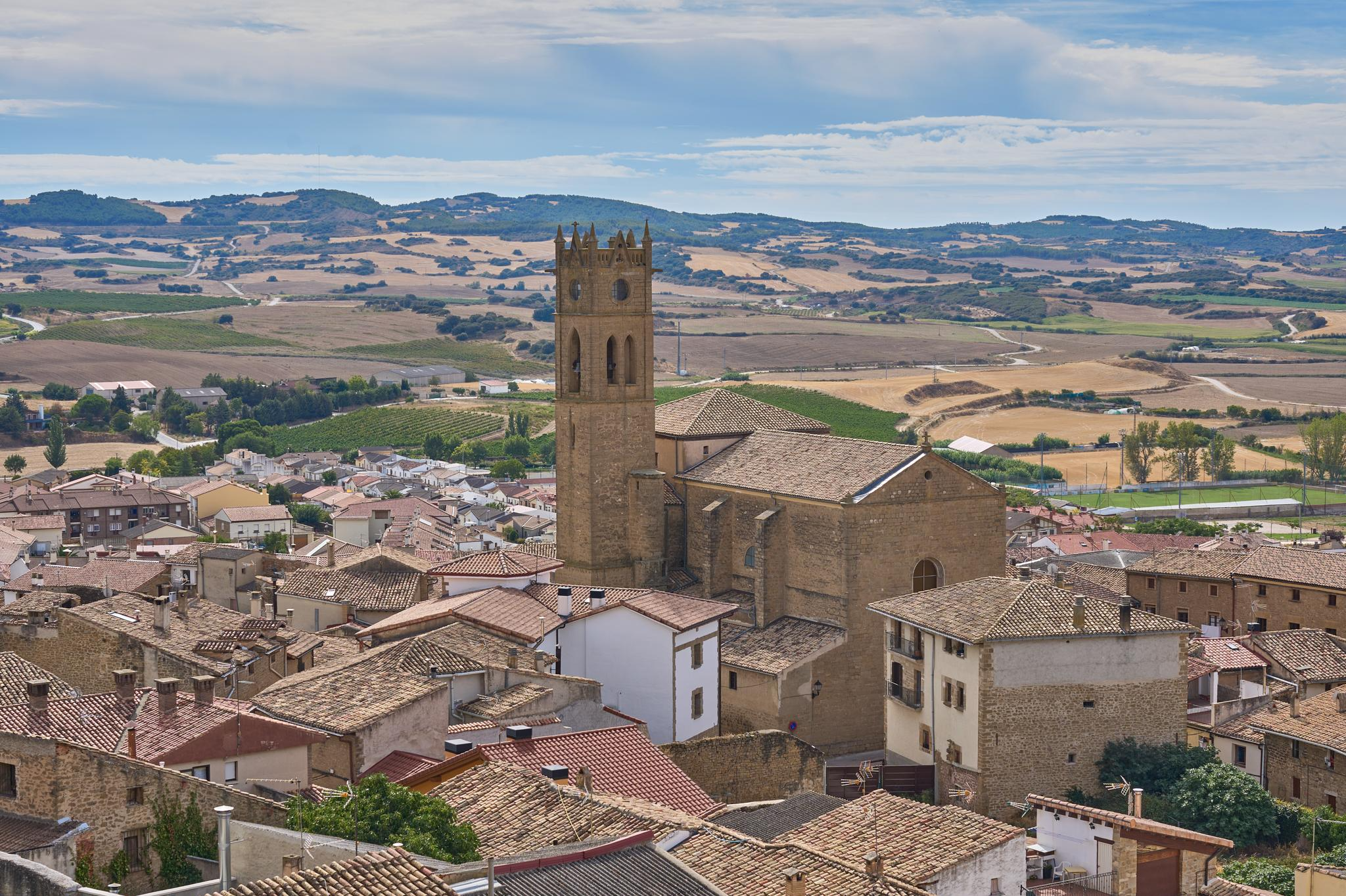
Path of the Templars — Path of the True Cross (GR 250)
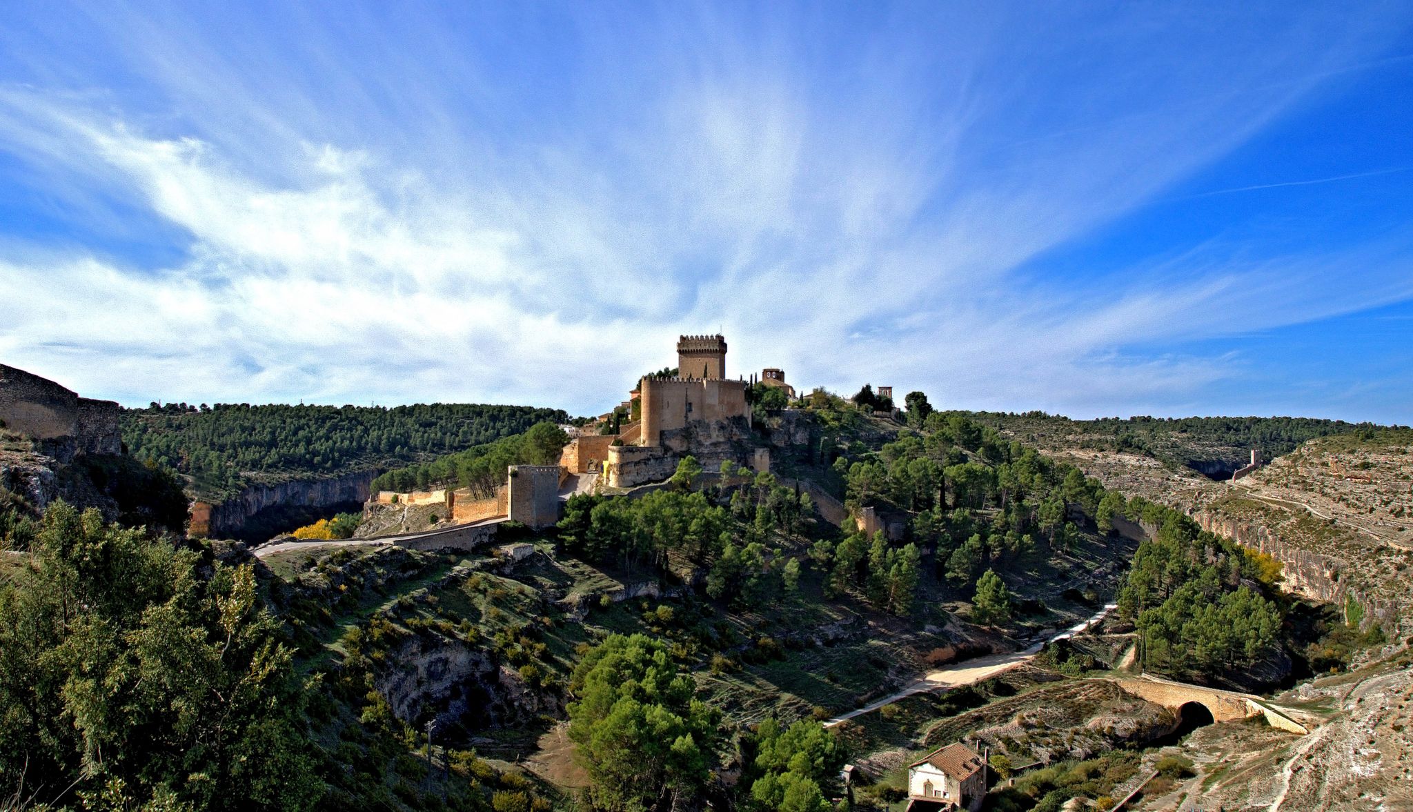
A walk through La Manchuela – hiking the GR 64

Hiking around Serrania Baja

Road Cycling Routes around Serrania Baja

Running Trails around Serrania Baja

MTB Trails around Serrania Baja

Cycling around Serrania Baja
Other adventures around Serrania Baja


Tips from the Community

Fantastic place to relax on the MV
0
0

The origin of Beamud dates back to before the Roman conquest of the Iberian Peninsula, as remains of Iberian and Roman buildings have been found near the town, on the Castellar rock.
7
0
Beamud, an almost abandoned municipality in the province of Cuenca, lies on the banks of the La Magdalena gorge and has only 50 inhabitants.
7
0
The Jucar River is approximately 500 km long and flows from the Montes Universales to Cullera, where it flows into the Gulf of Valencia.
6
0

Refuge in perfect condition for spending a night, it had four bunk beds, a fireplace area, and a small stable.
0
0
The Contreras dam (Embalse de Contreras) is a 129-meter-high arch dam built in 1972. Located on the border of the provinces of Cuenca (Castilla-La Mancha) and Valencia, the dam spans the Cabriel and Guadazaón rivers. The reservoir serves mainly for water supply, flood protection, and irrigation.
12
1
7 bow bridge, so beautiful
12
0

Frequently Asked Questions
What kind of terrain can I expect on gravel bike trails in Serrania Baja?
Serrania Baja offers a diverse mix of terrain, characterized by extensive networks of tracks through karstic formations, river gorges, and dense forests of Scots pine and black pine. You'll encounter both well-maintained tracks and unpaved surfaces, with some sections requiring good fitness and advanced riding skills due to the varied landscape.
Are there any challenging gravel bike routes in Serrania Baja?
Yes, the routes in this guide are generally rated as difficult, offering significant challenges for experienced gravel bikers. For example, the Chorros de Barchel Waterfalls – Views of the Benagéber Reservoir loop from Sinarcas is a demanding 40.4-mile (65.0 km) trail with over 1300 meters of elevation gain.
What natural features or landmarks can I see while gravel biking in Serrania Baja?
The region is rich in natural wonders. You can explore karstic landscapes like the "Enchanted City" (Ciudad Encantada) and the "Callejones de Las Majadas." River valleys offer stunning views, such as those from the "Ventano del Diablo" overlooking the Júcar River canyon. The Las Chorreras waterfall is another notable natural monument. You might also encounter the Zafrilla River Trail or the La Olla Recreation Area.
Are there any circular gravel bike routes available?
Many routes in Serrania Baja are designed as loops, allowing you to start and end in the same location. An example is the Sinarcas – La Olla Recreation Area loop from Sinarcas, a 23.5-mile (37.8 km) difficult path that traverses varied terrain.
What is the best time of year for gravel biking in Serrania Baja?
The region's climate generally makes spring and autumn ideal for gravel biking, offering pleasant temperatures and lush landscapes. Summers can be hot, especially in lower elevations, while winters can bring colder temperatures, particularly in the higher parts of the Serranía.
Are there any routes that offer panoramic views?
Absolutely. The region is known for its stunning viewpoints. The Contreras Viewpoint – Cabriel Valley Viewpoint loop from Cerro del Castillo is an 18.3-mile (29.4 km) trail specifically designed to showcase the beautiful Cabriel Valley.
What do other gravel bikers say about the trails in Serrania Baja?
The gravel biking routes in Serrania Baja are highly rated by the komoot community, with an average score of 5.0 stars from over 5 reviews. Users often praise the region's low population density, minimal car traffic, and the impressive natural scenery, making it an ideal destination for exploring solitary territories.
Are there any long-distance gravel routes in the area?
Yes, for those seeking longer adventures, routes like the Cuerno de la Cumbre – Zafrilla River Trail loop from Salvacañete cover over 45 miles (72 km) and involve significant elevation changes, providing a challenging multi-hour experience.
Can I find routes that pass through forests or offer shade?
Serrania Baja is home to one of the best forest masses in the Iberian Peninsula, featuring mixed woodlands of Scots pine, Black pine, Oak, and ancient Juniper stands. Many gravel routes, such as the Bar El Chiringuito Wilanoro – Campillos-Sierra loop from Collado Bajo, will take you through these green and lush environments, providing welcome shade on sunny days.
Are there any routes that explore the region's unique geological features?
The region is famous for its karstic landscapes. While not explicitly named for geological features, routes often traverse areas shaped by these processes. For instance, the Centenary Elm of Alobras – Alobras Village loop from Tormón will lead you through varied terrain where you can observe the natural formations characteristic of the area.
Most popular routes around Serrania Baja
Most popular attractions around Serrania Baja

Get inspired with the komoot mobile app


Explore more
Browse the best Gravel rides in other regions.
