The best walks and hikes around Knittelsheim
4.4
(2324)
10,763
hikers
646
hikes
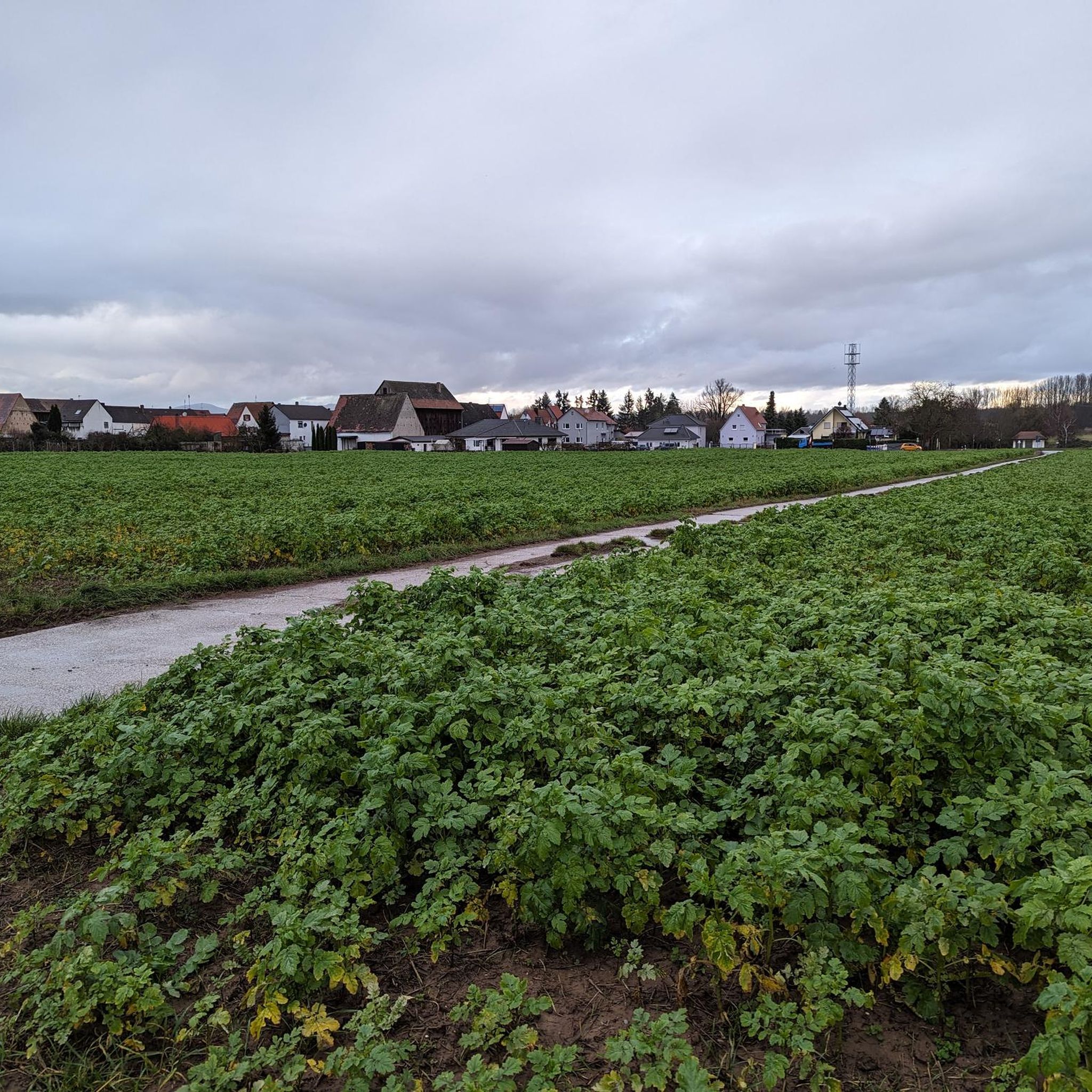
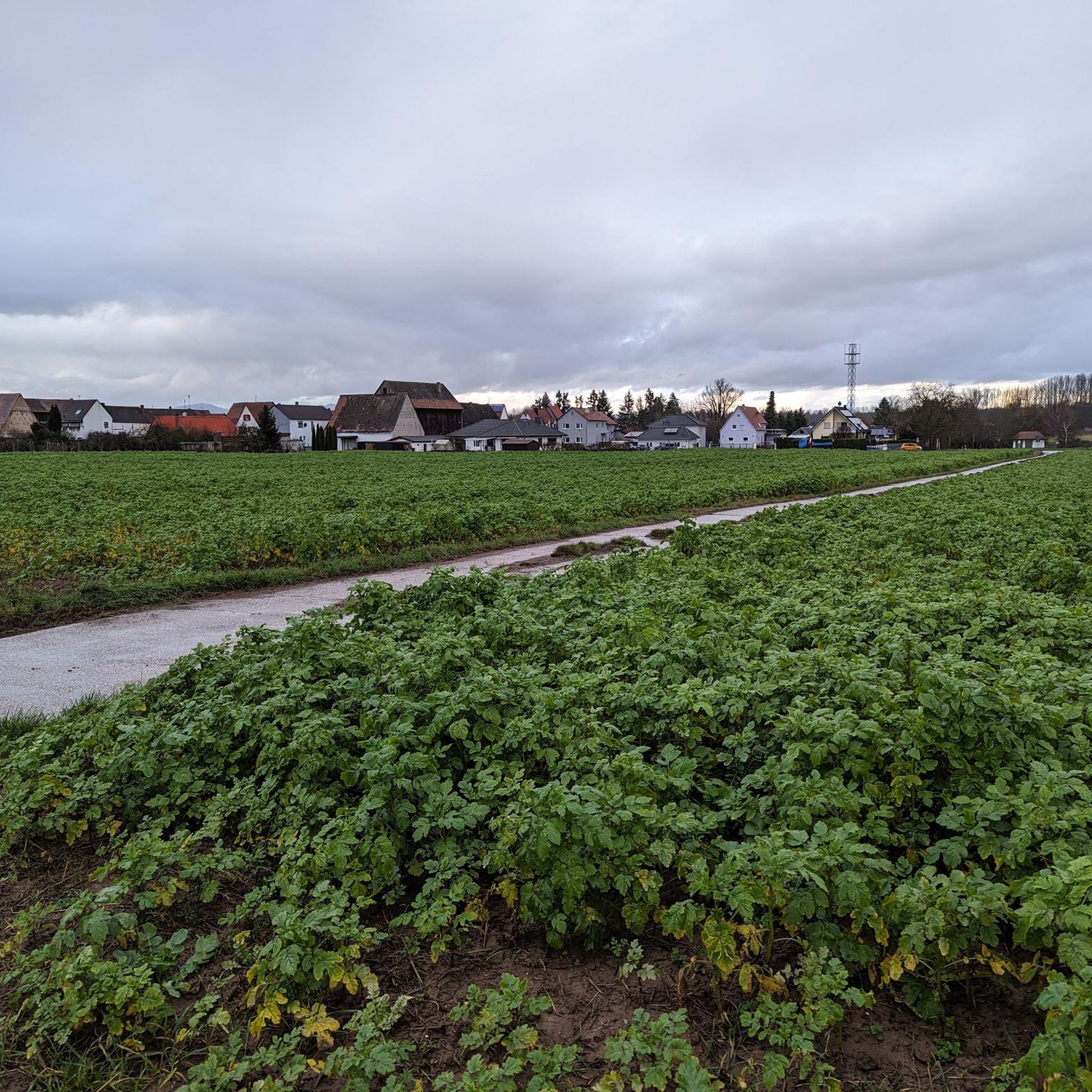
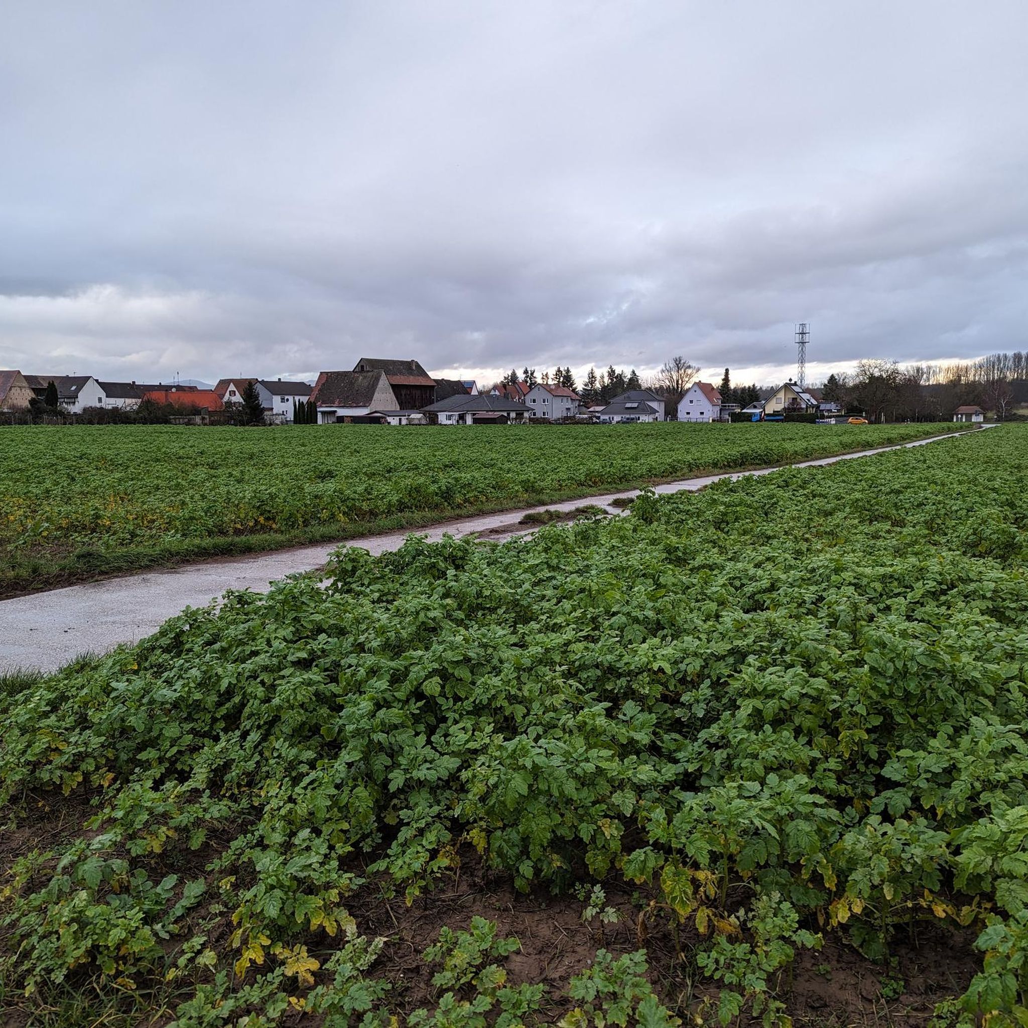
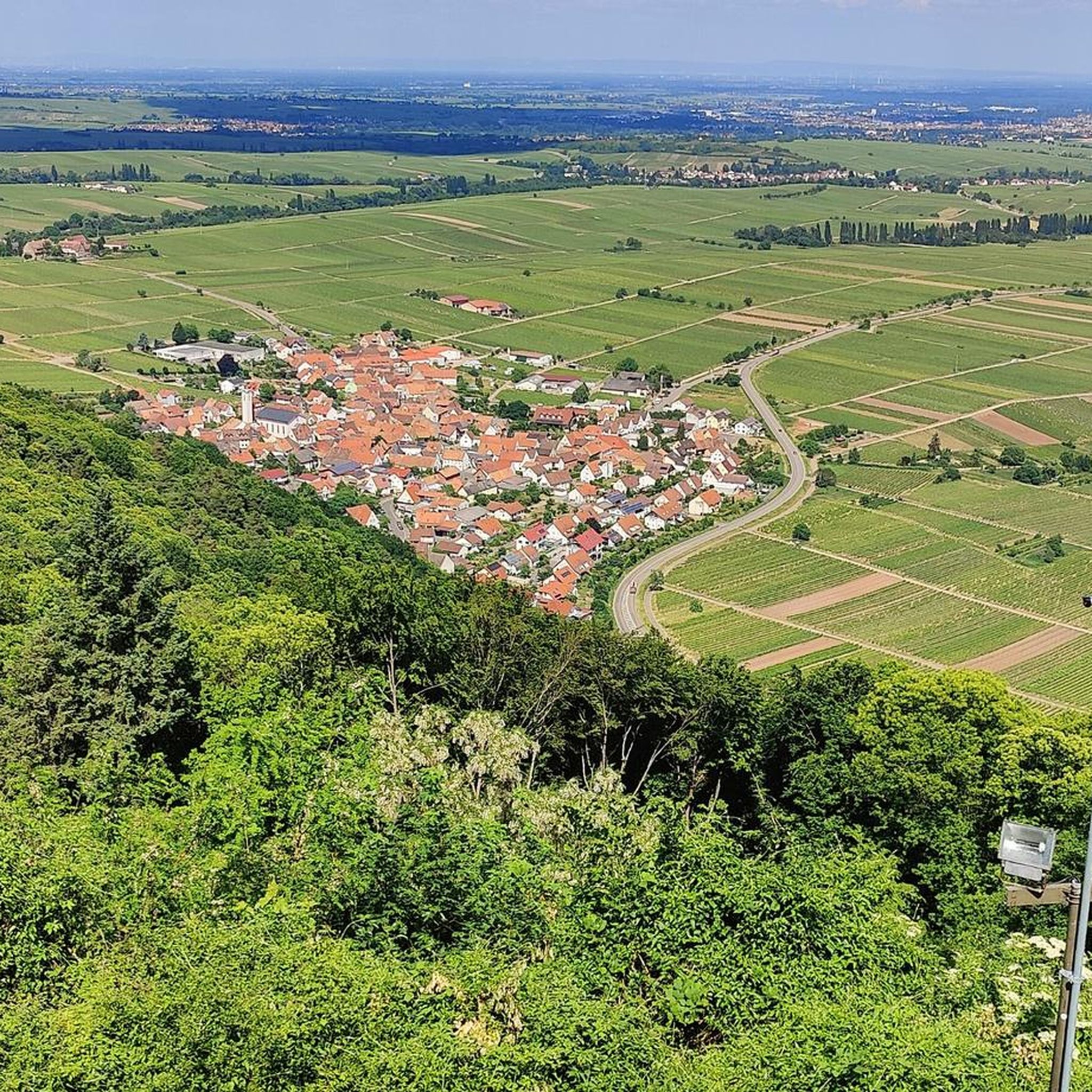
Hiking around Knittelsheim offers routes through a flat, riverine landscape characterized by agricultural fields, open meadows, and small forested areas. The region features waterways like the Mirror Brook and the Queich, often with sluice gates and weirs. Elevation changes are minimal, making most trails accessible and suitable for relaxed exploration.
Best hiking trails around Knittelsheim
- The most popular hiking route is Mirror Brook – Walterplatz Forest Rest Area loop from Bellheim, a 5.3 miles (8.6 km) trail that takes…
Last updated: July 5, 2026
4.6
(26)
75
hikers
8.52km
02:10
20m
20m
Moderate hike. Good fitness required. Easily-accessible paths. Suitable for all skill levels.
4.6
(5)
27
hikers
Easy hike. Great for any fitness level. Easily-accessible paths. Suitable for all skill levels.

Sign up for free
4.4
(10)
23
hikers
6.45km
01:38
10m
10m
Easy hike. Great for any fitness level. Easily-accessible paths. Suitable for all skill levels.
1.0
(1)
7
hikers
12.8km
03:14
20m
20m
Moderate hike. Good fitness required. Easily-accessible paths. Suitable for all skill levels.
4.5
(4)
14
hikers
10.9km
02:45
20m
20m
Moderate hike. Good fitness required. Easily-accessible paths. Suitable for all skill levels.
Get access to more routes and recommendations from other explorers.
Sign up for free
Already have an account?
Our route recommendations are based on thousands of hikes, rides, and runs completed by other people on komoot.
Start today with a free account
Your next adventure awaits.
Login or Signup
Tips from the Community

Interesting facility, somewhat out of the way.
0
0

A Dreimärker is a historical boundary stone that marks the point where the borders of three districts or lordships meet. It is often adorned with coats of arms, initials, or special symbols. At this location, the districts of Ottersheim, Zeiskam, and Knittelsheim meet. (Coat of arms of Zeiskam)
1
0

A beautiful place to learn about nature. The path is also very well signposted with plenty of information about the forest adventure trail.
0
0

Beautiful old things to admire
0
0
The so-called Bear Ponds are fish ponds managed by the Ottersheim Angling Club. They are located in a nature reserve. At the southeastern corner of the lower pond, there is a fish sculpture commemorating Jean Benz, a prominent figure in the angling community. A beautiful covered rest area, the "Jean Benz Park," with two benches and a table, has recently been created at the northeastern corner of the lake, along the Queich Valley Cycle Path. It's a wonderful place to unwind... especially on mild evenings when the sun sets in the west and you can gaze out over the ponds.
1
0
The "Bärenruh," also commonly known as "Rentnereck," has been shining in its new splendor since March 2022. From here, one has a good view for observing the storks in the wetlands during the watering days in May and July. Wooden benches with a table and a shelter offer walkers, cyclists, and hikers a beautiful resting place right on the edge of the forest in Ottersheim.
1
0
Town Hall, Germersheimer Straße 1 Hipped roof building, ground floor hall dated 1555, upper floor probably from the 18th century. Cultural monument
1
0

You should go back to school...
0
0
Frequently Asked Questions
How many hiking trails are available around Knittelsheim?
There are over 600 hiking routes available around Knittelsheim, offering a wide variety of options for different preferences and fitness levels.
What is the general terrain like for hiking in Knittelsheim?
The terrain around Knittelsheim is predominantly flat and riverine, characterized by agricultural fields, open meadows, and small forested areas. You'll often encounter waterways like the Mirror Brook and the Queich, along with sluice gates and weirs. Elevation changes are minimal, making most trails accessible.
Are there easy hiking trails suitable for beginners or families in Knittelsheim?
Yes, Knittelsheim is ideal for easy hikes, with over 430 routes classified as easy. The flat landscape and well-maintained paths make it perfect for beginners and families. An example is the Ottersheim Division Weir – Classic Car Barn loop from Ottersheim bei Landau, which is 2.5 miles (4.1 km) long and features water elements.
Can I find circular hiking routes around Knittelsheim?
Many of the hiking routes in Knittelsheim are circular, allowing you to start and end at the same point. For instance, the popular Mirror Brook – Walterplatz Forest Rest Area loop from Bellheim is a 5.3-mile (8.6 km) trail that takes you through tranquil forest and along the brook.
Are dogs allowed on the hiking trails in Knittelsheim?
Generally, dogs are welcome on the hiking trails around Knittelsheim. Given the open fields and riverine paths, it's a great area for walks with your canine companion. Always keep dogs on a leash, especially near agricultural areas or wildlife, and be mindful of local regulations.
What kind of natural features can I expect to see on a hike?
You can expect to see a mix of natural and man-made water features, including the Mirror Brook and the Queich river, often with interesting sluice gates and weirs. The landscape also features expansive meadows, agricultural fields, and small, peaceful woodlands. Keep an eye out for local birdlife, especially storks, which are known to inhabit the area.
Are there any challenging hikes in the Knittelsheim area?
While most trails are easy to moderate due to the flat terrain, there are a few routes that offer a bit more distance, making them moderately challenging. For example, the Knittelsheim Mill – Mirror Brook loop from Ottersheim bei Landau covers nearly 8 miles (12.8 km), providing a longer excursion.
What do other hikers say about the trails in Knittelsheim?
The trails in Knittelsheim are highly rated by the komoot community, with an average score of 4.4 stars from over 2,200 reviews. Hikers often praise the peaceful, flat paths, the scenic waterways, and the accessibility of the routes for all ages and abilities.
Are there scenic viewpoints or natural attractions along the trails?
Yes, the region offers several natural attractions. You can explore highlights like the Hördter Rheinaue Nature Reserve, the Fifteen Fish Ponds, or the Otterbach in the Bienwald Nature Reserve. These spots provide opportunities to enjoy the local flora and fauna.
Where can I find parking for hiking trails in Knittelsheim?
Parking is generally available in and around the villages that serve as starting points for many trails, such as Bellheim, Ottersheim bei Landau, and Knittelsheim itself. Look for designated parking areas near town centers or trailheads. It's advisable to check specific route descriptions for detailed parking information.
What is the best time of year to go hiking in Knittelsheim?
The flat and riverine landscape of Knittelsheim makes it suitable for hiking throughout much of the year. Spring and autumn offer pleasant temperatures and beautiful scenery, with blooming wildflowers or colorful foliage. Summer is also enjoyable, especially along shaded sections or near waterways. Winter hikes are possible on clear days, as the trails are generally not prone to heavy snow or ice.
Can I find hikes that include places to eat or pubs along the way?
While the immediate trails might not always feature direct pub access, many routes pass through or near charming villages like Bellheim and Ottersheim bei Landau, where you can find local eateries, cafes, or traditional pubs to refuel after your hike. Planning your route to pass through these villages can enhance your experience.
Most popular routes around Knittelsheim
Most popular attractions around Knittelsheim

Get inspired with the komoot mobile app


Explore more
Browse the best Hikes in other regions.
