The best gravel rides around Alheira
4.0
(1)
31
riders
5
rides
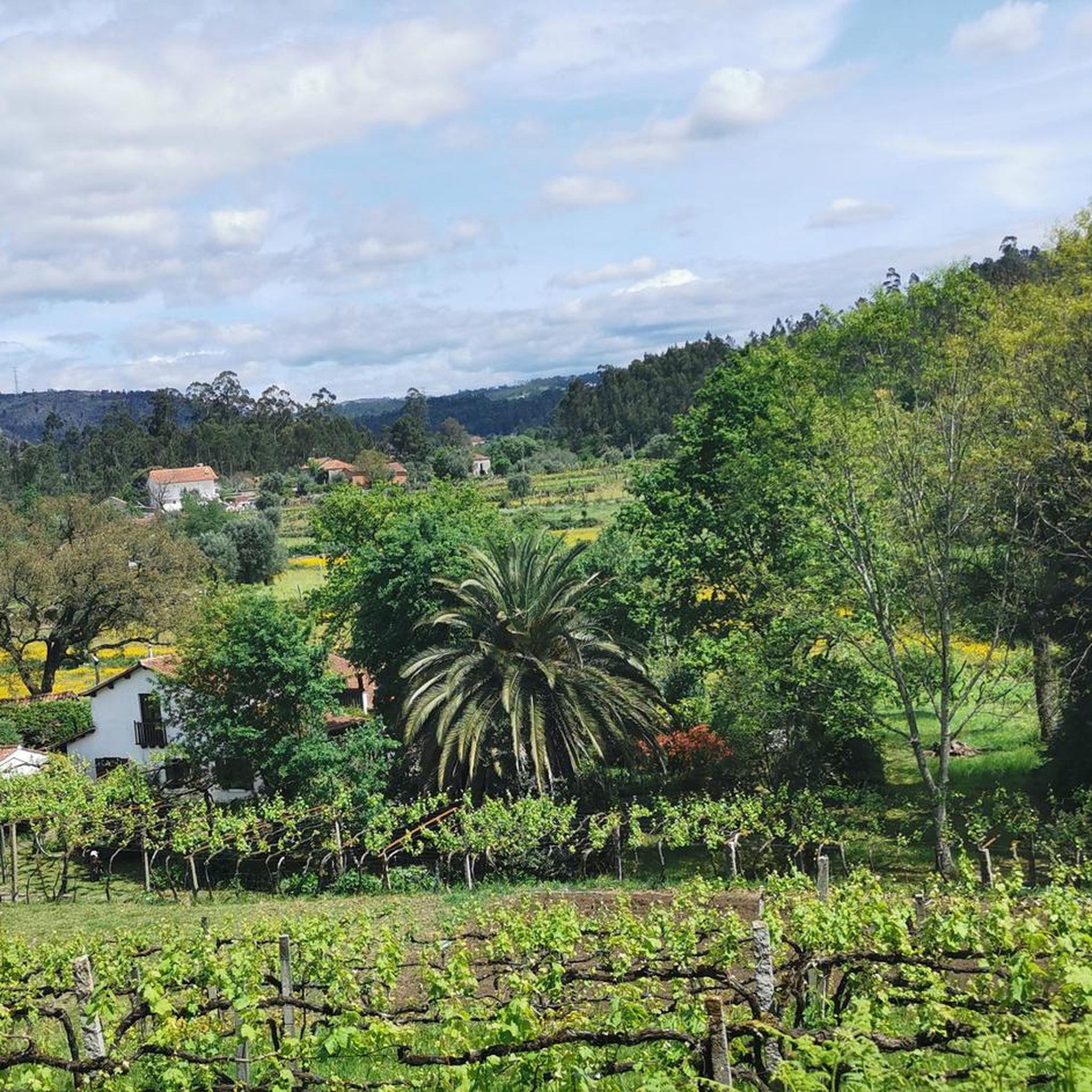
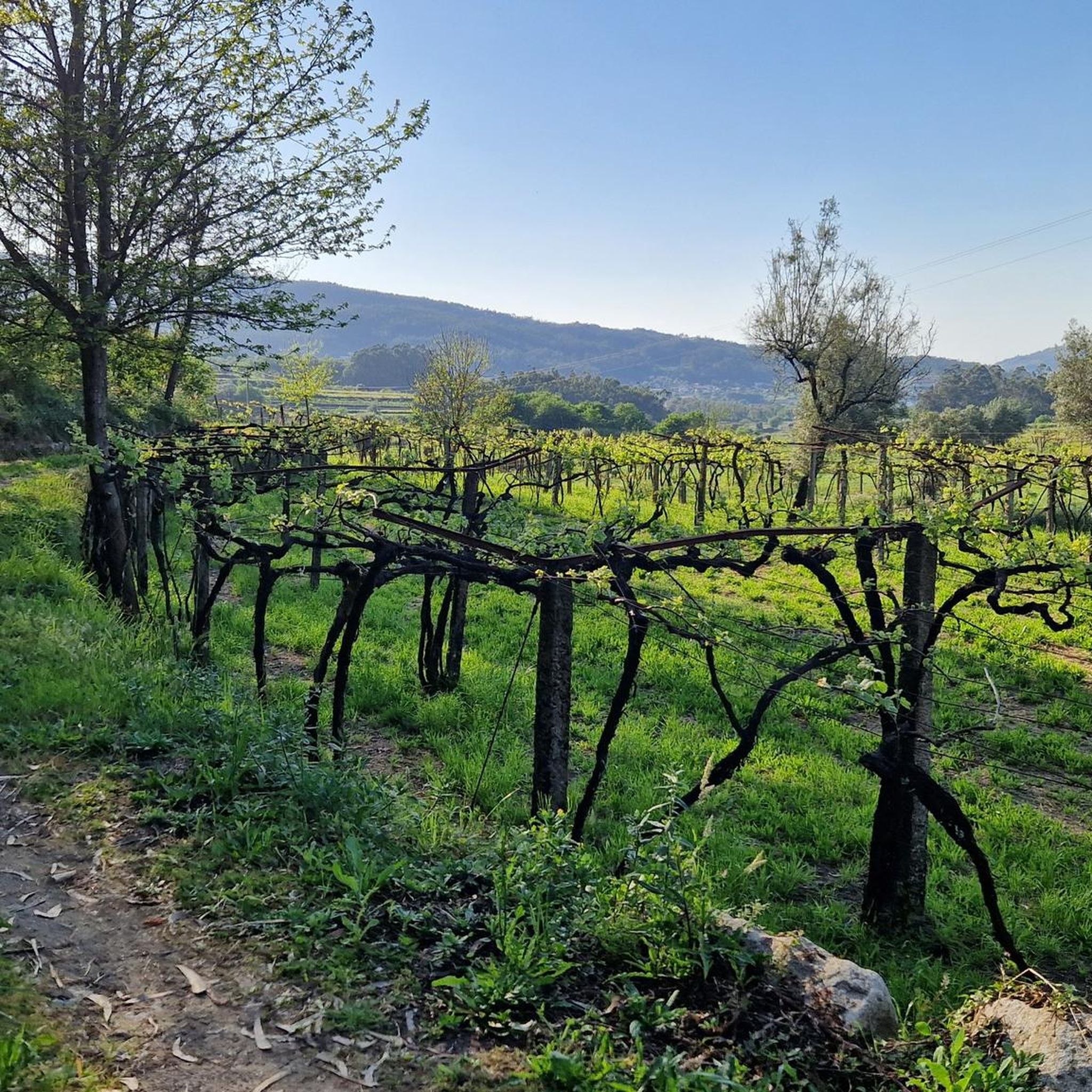
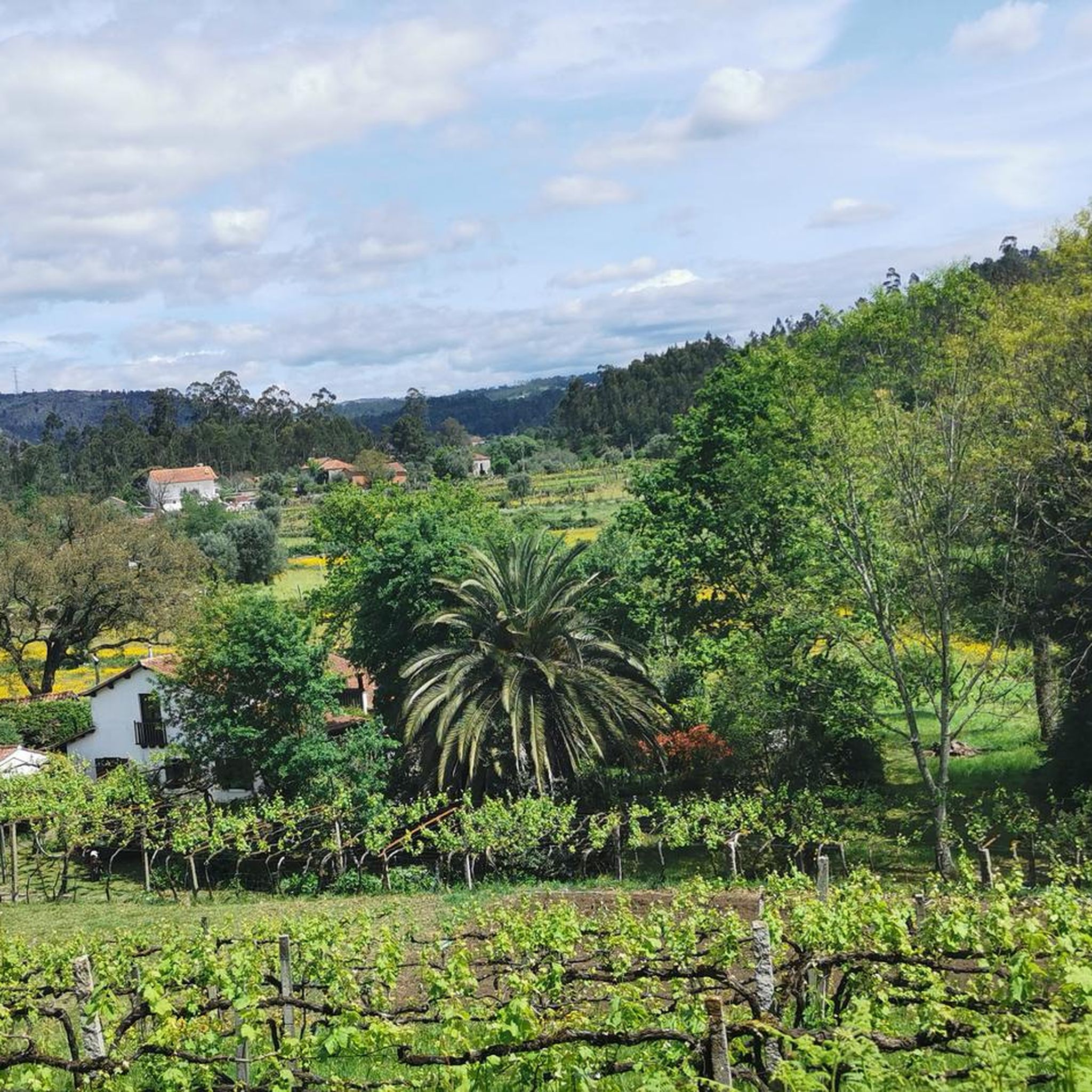
Gravel biking around Alheira focuses on routes in the surrounding region of Northern Portugal, known for its varied terrain. While Alheira itself is primarily recognized for its culinary heritage, the nearby areas offer a network of gravel bike trails. These routes often traverse river valleys, agricultural landscapes, and forested areas, providing diverse surfaces for gravel cyclists. The topography includes gentle inclines and some more challenging ascents, characteristic of the Minho region.
Best gravel bike trails around Alheira
- The most popular…
Last updated: July 11, 2026
10
riders
110km
07:22
1,040m
1,040m
Hard gravel ride. Very good fitness required. Mostly paved surfaces. Suitable for all skill levels.
8
riders
47.9km
03:17
420m
420m
Moderate gravel ride. Good fitness required. Mostly paved surfaces. Suitable for all skill levels.

Sign up for free
6
riders
42.3km
03:13
510m
510m
Hard gravel ride. Very good fitness required. Mostly paved surfaces. Suitable for all skill levels.
3
riders
48.4km
03:46
800m
800m
Hard gravel ride. Very good fitness required. Mostly paved surfaces. Suitable for all skill levels.
4.0
(1)
4
riders
50.1km
03:18
490m
490m
Hard gravel ride. Very good fitness required. Mostly paved surfaces. Suitable for all skill levels.
Our route recommendations are based on thousands of hikes, rides, and runs completed by other people on komoot.
Start today with a free account
Your next adventure awaits.
Login or Signup

Tips from the Community

Easy ride condition when path is not impacted by rain
0
0

What to Expect Exhibitions: The museum has an exhibition room with various models of handcrafted boats, pieces of sacred art, and costumes related to local fishing life. Temporary exhibitions are frequently updated and related to maritime themes. Historical Building: The museum originated from the restoration project of the ESN building, which in itself is an attraction, also allowing the return of the shipwreck rescue service to the ground floor. Memory Tower: Climbing the tower of the building is worthwhile for panoramic views over the Cávado River estuary and the Esposende coast.
1
0
Practical Information Location: Maritime Rescue Station, Av. Eng. Eduardo Arantes e Oliveira 54, 4740-204 Esposende, Portugal. Contact: Phone: +351 253 964 836. Opening Hours (Winter, subject to change): Monday to Friday: 09:30–12:30, 14:00–17:30. Saturday and Sunday: Closed. Price: Ticket cost varies between €1.75 and €2.50. Website: More information is available on the official website of the Esposende Maritime Museum.
1
0
The Esposende Maritime Museum is housed in a historic building, the Shipwreck Rescue Station (ESN), at Avenida Eng. Eduardo Arantes e Oliveira, 54, in Esposende, Portugal. The museum preserves the memory of the local community's connection to the sea and fishing.
1
0
The Metal Bridge of Fão (Esposende) Location: It crosses the Cávado River, on National Road 13 (EN13), in the parish of Fão, in Esposende. Alternative Name: It is frequently referred to as the D. Luís Filipe Bridge. History: It is a significant example of iron architecture in Portugal, inaugurated on August 7, 1892. Characteristics: The bridge, which is a Property of Public Interest, has an extensive metal structure and has recently been rehabilitated.
2
0
In Esposende, the main historical bridge that crosses the Cávado River is the Ponte Metálica de Fão, also known locally as Ponte D. Luís Filipe.
2
0
Architecture and Highlights The building is an example of local religious architecture, with a T-shaped floor plan and a single nave, resulting from expansions of the original chancel. Style: Combines Baroque, Rococo, and Neoclassical elements. Facade: The main facade has a gable, flanked by a quadrangular bell tower. The main portal with a segmental arch is topped by an aedicule that houses the image of the patron saint. Interior: The interior, although simple, is well preserved and inviting to prayer, as noted by visitors.
1
0
Frequently Asked Questions
Where is Alheira, and what is its significance for gravel biking?
Alheira is primarily known as a traditional Portuguese sausage, originating from regions like Mirandela and Trás-os-Montes in northern Portugal. While Alheira itself isn't a geographical hub for outdoor activities, this guide focuses on gravel biking routes in the surrounding Northern Portugal region. These areas offer diverse terrain suitable for gravel cycling. You can learn more about the culinary origin of Alheira here.
What kind of terrain can I expect on gravel bike trails around Alheira?
The gravel bike trails in the region around Alheira traverse varied landscapes typical of Northern Portugal. You'll encounter river valleys, agricultural plains, and forested sections. The surfaces are diverse, and the topography includes everything from gentle inclines to more challenging ascents, characteristic of the Minho region.
How many gravel bike trails are available around Alheira?
This guide features 6 gravel bike trails in the region around Alheira. These routes offer a mix of challenges, with 1 moderate and 5 difficult options to explore.
Are there any family-friendly gravel biking options in the area?
While most routes in this guide are rated as difficult, the region does offer varied terrain. For a more moderate option that might be suitable for families with some biking experience, consider the Riverside Path – Bico Bridge loop from Barcelos. It's a 29.9-mile (48.2 km) path following riverside areas, offering scenic views without extreme difficulty.
What do other gravel bikers enjoy most about the trails around Alheira?
The routes in this region are highly rated by the komoot community, with an average score of 5.0 stars. Users often praise the varied terrain, which includes river valleys, agricultural plains, and forested sections, providing a diverse and engaging gravel biking experience.
Are there any circular gravel bike routes available?
Yes, several routes in this guide are designed as loops. For example, the popular Ponte de Lima – Roman Bridge of Ponte de Lima loop from Barcelos is a challenging 68.1-mile (109.6 km) ride. Another option is the Riverside Path – Bico Bridge loop from Barcelos, a moderate 29.9-mile (48.2 km) route.
What are some interesting landmarks or sights I can see along the gravel bike trails?
While gravel biking, you can explore several points of interest in the surrounding areas. Notable landmarks include the historic Barcelos Medieval Bridge, the iconic Barcelos Rooster statue, and the charming Barcelos city centre. You might also pass by the impressive Main Church of Santa Maria de Barcelos and the picturesque Ponte das Tábuas de Balugães.
Are there any routes suitable for advanced gravel bikers looking for a challenge?
Absolutely. The region offers several challenging routes with significant elevation gain. The Ponte de Lima – Roman Bridge of Ponte de Lima loop from Barcelos is a difficult 68.1-mile (109.6 km) trail with over 1000 meters of elevation gain. Another demanding option is the Barcelos Historic Centre – Fão Bridge loop from Barcelos, covering 50.6 miles (81.4 km) with nearly 500 meters of ascent.
What is the typical distance and elevation gain for gravel routes in this area?
The routes in this guide vary significantly. Distances range from approximately 26 miles (42 km) to over 68 miles (109 km). Elevation gains can be substantial, with some routes featuring over 1000 meters of ascent, while others have around 400-500 meters, offering options for different fitness levels.
Is it possible to access these gravel trails using public transport?
Many of the routes listed, such as those starting from Barcelos or Vila de Prado, are accessible from towns that typically have public transport connections. We recommend checking local bus or train schedules for specific starting points like Barcelos to plan your journey to the trailheads.
Are there any routes that follow riverside paths?
Yes, the region is characterized by river valleys, and several routes incorporate riverside paths. The Riverside Path – Bico Bridge loop from Barcelos and the Riverside Path – Parque Perez loop from Vila de Prado are excellent examples, offering scenic rides along the water.
Most popular attractions around Alheira

Get inspired with the komoot mobile app


Explore more
Browse the best Gravel rides in other regions.
