The best running trails around Vale De Anta
4.2
(5)
263
runners
15
runs
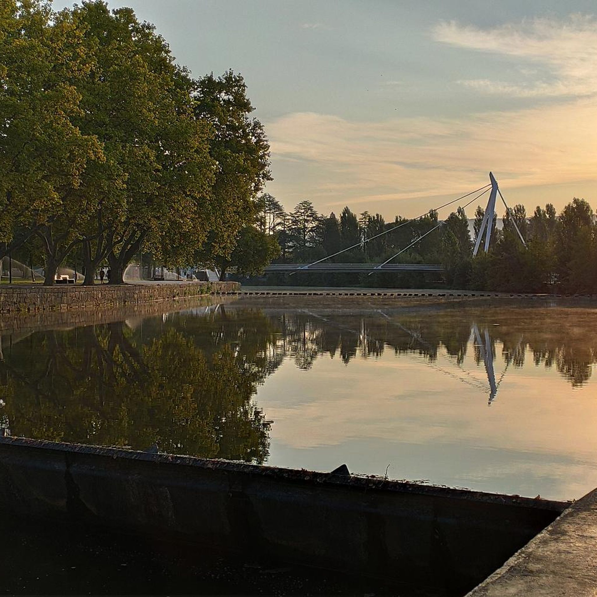
Jogging around Vale De Anta offers routes through an open valley along the Tâmega River, characterized by relatively flat terrain and lush landscapes. The region, part of the municipality of Chaves, provides a scenic backdrop for running, with paths often following riverbanks and passing through traditional villages. The natural features of the Tâmega Valley contribute to a generally accessible environment for various fitness levels, featuring rolling hills and tranquil rivers.
Best jogging routes around Vale De Anta
- The most popular jogging route is Running loop from Chaves, a 7.7 miles (12.4 km) trail that takes 1 hour 18 minutes to complete. This moderate route offers views along the Tâmega River.
- Another top favourite among local runners is Miradouro de S. Lourenço loop from Chaves, a difficult 14.8 miles (23.8 km) path. This route includes significant elevation gain, leading to panoramic viewpoints.
- Local runners also love the Running loop from Madalena e Samaiões, a 7.3 miles (11.7 km) trail leading through the local countryside, often completed in about 1 hour 14 minutes.
- Jogging around Vale De Anta is defined by the Tâmega River, open valley landscapes, and traditional village surroundings. The network offers options for both moderate and more challenging running experiences.
- The routes in Vale De Anta are highly rated by the komoot community with an average score of 4.2 stars from 5 reviews. More than 230 runners have used komoot to explore Vale De Anta's varied terrain.
Last updated: July 11, 2026
30
runners
12.4km
01:18
100m
110m
Moderate run. Good fitness required. Mostly paved surfaces. Suitable for all skill levels.
5
runners
23.8km
03:13
830m
830m
Hard run. Very good fitness required. Mostly accessible paths. Some sure footedness required.
3
runners
11.7km
01:14
80m
80m
Moderate run. Good fitness required. Mostly paved surfaces. Suitable for all skill levels.
Get access to more routes and recommendations from other explorers.
Sign up for free
Already have an account?
Our route recommendations are based on thousands of hikes, rides, and runs completed by other people on komoot.
Start today with a free account
Your next adventure awaits.
Login or Signup


Frequently Asked Questions
How many running routes are available in Vale de Anta?
There are 15 dedicated running routes around Vale de Anta listed on komoot, offering a variety of experiences for joggers. These routes have been explored by over 230 runners.
What is the general terrain like for running in Vale de Anta?
The terrain in Vale de Anta is primarily characterized by an open valley along the Tâmega River, offering generally flat to gently undulating paths. This makes it suitable for various fitness levels, with lush landscapes providing a scenic backdrop for your run.
Are there options for different fitness levels, including challenging routes?
Yes, the routes cater to different fitness levels. While most of the 15 routes are classified as moderate, there are also 2 difficult routes for experienced runners seeking a greater challenge. For example, the Miradouro de S. Lourenço loop from Madalena is a difficult 14.8-mile (23.8 km) path with significant elevation gain.
Are there any circular running routes in Vale de Anta?
Many of the running routes in Vale de Anta are designed as loops, offering convenient circular paths. For instance, the popular Running loop from Chaves is a 7.7-mile (12.4 km) circular trail along the Tâmega River.
What natural features will I see while jogging in Vale de Anta?
You'll primarily experience the beautiful Tâmega River and its valley, known for its lush landscapes and natural beauty. The region's open and almost flat terrain provides serene backdrops, and you might also encounter traditional villages and views towards the Barragem de Curalha (Curalha Dam).
Are there any historical landmarks or attractions along the running trails?
While running, you can explore the rich heritage of the area. Nearby attractions include the historic Chaves Old Town, the ancient Trajan Bridge (Chaves Roman Bridge), and the Chaves Thermal Spring. These points of interest offer a blend of exercise and cultural exploration.
Can I find scenic viewpoints on the running routes?
Yes, some routes offer panoramic views. The Miradouro de S. Lourenço loop from Madalena, for example, is specifically noted for leading to impressive panoramic viewpoints, rewarding runners with stunning vistas of the surrounding landscape.
Are the running routes in Vale de Anta suitable for families?
Given the predominantly moderate difficulty and the generally flat to gentle terrain of many routes, Vale de Anta offers suitable options for families who enjoy running together. The scenic riverbanks and village paths provide a pleasant environment for all ages.
Are there dog-friendly running trails in Vale de Anta?
Many outdoor trails in Portugal, including those in natural areas like Vale de Anta, are generally dog-friendly. It's always recommended to keep your dog on a leash, especially near wildlife or livestock, and to carry waste bags to maintain the cleanliness of the trails.
Is there parking available near the running routes?
While specific parking details for each route are best checked on individual komoot tour pages, the proximity to Chaves and various villages suggests that parking options, such as public car parks or roadside parking, are generally available near trailheads or starting points.
How can I reach the running routes using public transport?
Vale de Anta is located near the city of Chaves, which serves as a regional hub. Public transport options, such as buses, typically connect Chaves to surrounding areas. From Chaves, many routes are accessible, or you might consider a short taxi ride to specific trailheads.
What do other runners say about the trails in Vale de Anta?
The running routes in Vale de Anta are highly regarded by the komoot community, holding an average rating of 4.2 out of 5 stars from 5 reviews. Runners often praise the scenic beauty of the Tâmega River valley and the varied terrain that offers both relaxing and challenging experiences.
When is the best time of year to go running in Vale de Anta?
The spring (April-June) and autumn (September-November) months generally offer the most pleasant conditions for running in Vale de Anta, with milder temperatures and beautiful natural scenery. Summers can be warm, so early morning or late evening runs are advisable, while winters are typically mild but can be wet.
Most popular routes around Vale De Anta
Most popular attractions around Vale De Anta

Get inspired with the komoot mobile app


Explore more
Browse the best Running Trails & Routes in other regions.
