The best mountain hikes in Siegaue
4
hikers
3
hikes
Mountaineering routes in Siegaue traverse a diverse riverine floodplain landscape, characterized by extensive grasslands, poplar forests, and remnants of alluvial forests along the Sieg River. While the region is primarily known for its flat terrain, the designated mountaineering routes feature sustained ascents through forested hillsides, offering significant elevation gain. These trails navigate varied ecosystems, providing views over the Sieg Valley and its rich natural features.
Best mountaineering routes in Siegaue
- The most popular mountaineering route is Allner Castle – Bistro-Café…
Last updated: October 6, 2026
1
hikers
Moderate mountaineering route. Good fitness required. Easily-accessible paths. Suitable for all skill levels.
1
hikers
10.2km
03:10
310m
310m
Moderate mountaineering route. Good fitness required. Mostly accessible paths. Sure-footedness required.

2
hikers
23.8km
06:51
530m
530m
Hard mountaineering route. Very good fitness required. Mostly accessible paths. Sure-footedness required.
Our route recommendations are based on thousands of hikes, rides, and runs completed by other people on komoot.
Start today with a free account
Your next adventure awaits.
Tips from the Community

Clearly visible above the Sieg valley
2
0
Enjoy the old crooked archway
2
0
It starts at the hiking parking lot
2
0
Trench tower of the town fortifications in Blankenberg
5
0

Since the milestone is now quite overgrown, it is not discovered at first glance. It is located opposite the stairs on the other side of the path.
1
0

Of course, hikers can find information in advance on relevant websites, for example with the following link to stage 12, which – comparatively short at just under 14 kilometers – leads from Hennef to Stadt Blankenberg (despite being named 'Stadt', it is a district of Hennef) =>> https://www.bergisches-wanderland.de/bergischer-weg/etappen-des-bergischen-weges/etappe-12-von-hennef-nach-stadt-blankenberg-137-km The route description reads as follows: "This stage is full of views, offering new perspectives into the valleys of Bröl and Sieg and, with good visibility, allowing you to discover the Siebengebirge and the Eifel on the horizon. For this, however, some climbs have to be overcome on the comfortable forest paths and dreamlike rocky trails. The school where the idea for the first youth hostel was born, the half-timbered village of Auel and the medieval town of Blankenberg also ensure that there is no monotony in terms of culture and appearance."
0
0

A very nice trail that goes quite uphill in places.
2
0

A trip to the town of Blankenberg is like a journey to another time.
1
0
Frequently Asked Questions
What kind of terrain can I expect on the routes in Siegaue?
The routes in Siegaue primarily traverse a diverse riverine floodplain landscape, featuring extensive grasslands, poplar forests, and remnants of alluvial forests along the Sieg River. While the region is generally known for its flat terrain, the designated routes include sustained ascents through forested hillsides, offering elevation gain and varied ecosystems. You'll encounter paths alongside the river, through woodlands, and across open meadows.
Are there routes suitable for beginners or those looking for a moderate experience?
Yes, for those seeking a moderate challenge, the Allner Castle – Bistro-Café Zur Linde loop from Happerschoß is a great option. This 10 km route involves ascents through woodlands and passes by historical points of interest, making it a good choice for a less strenuous yet engaging experience.
What are some more challenging routes for experienced hikers in Siegaue?
For experienced hikers looking for a significant challenge, Siegaue offers routes with substantial elevation changes. The Stachelberg – Halberger Bachtal singletrack loop from Bödingen is a difficult 10.2 km path featuring notable elevation changes through forested valleys. For an even longer and more demanding option, consider the Stachelberg – City of Blankenberg loop from Bödingen, a 23.2 km trail with substantial climbs, typically completed in about 6 hours 47 minutes.
Are there any circular routes available in Siegaue?
Yes, all the routes highlighted in this guide are circular, allowing you to start and end at the same point. For example, the moderate Allner Castle – Bistro-Café Zur Linde loop from Happerschoß and the more challenging Stachelberg – City of Blankenberg loop from Bödingen are both designed as loops.
What natural attractions or landmarks can I see along the routes?
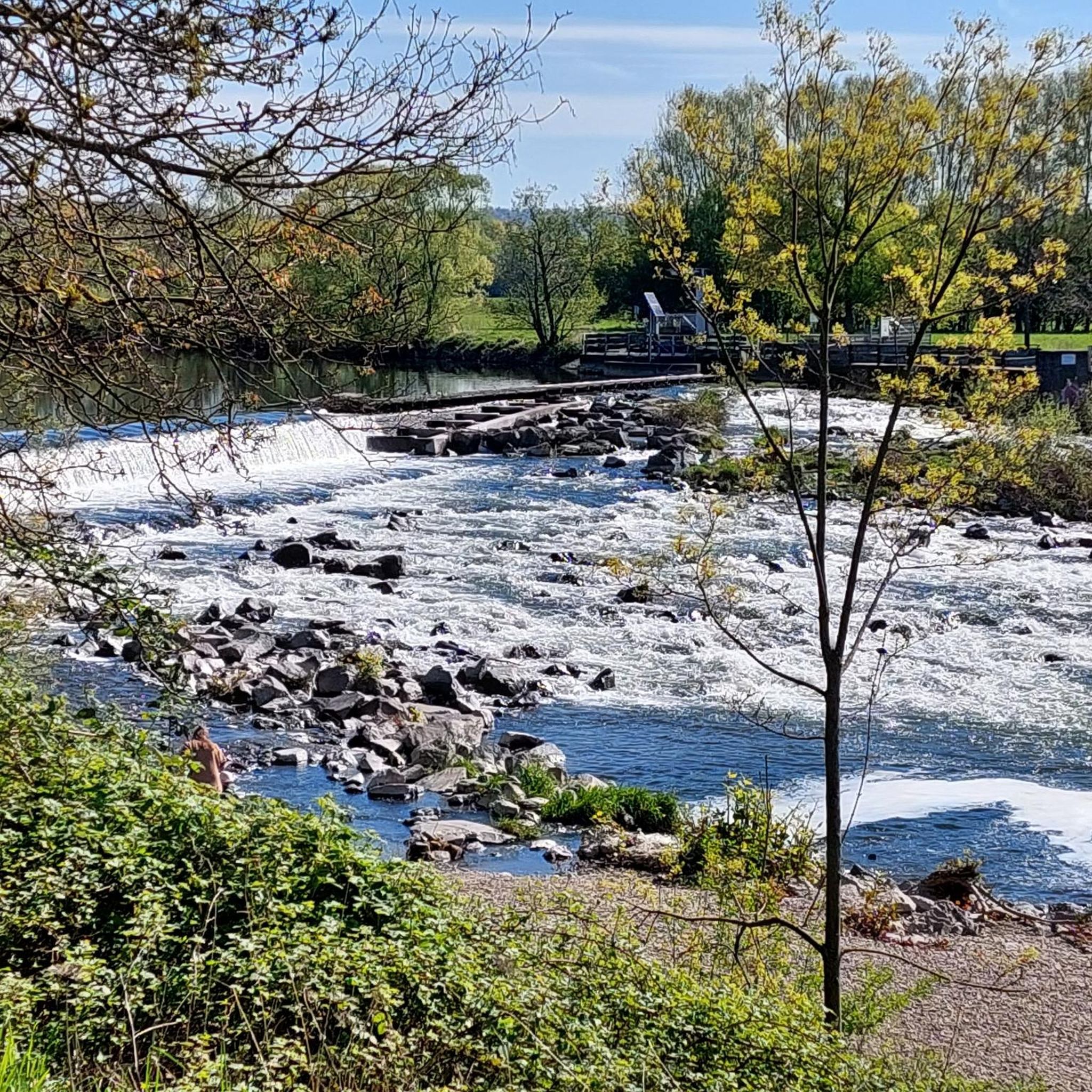
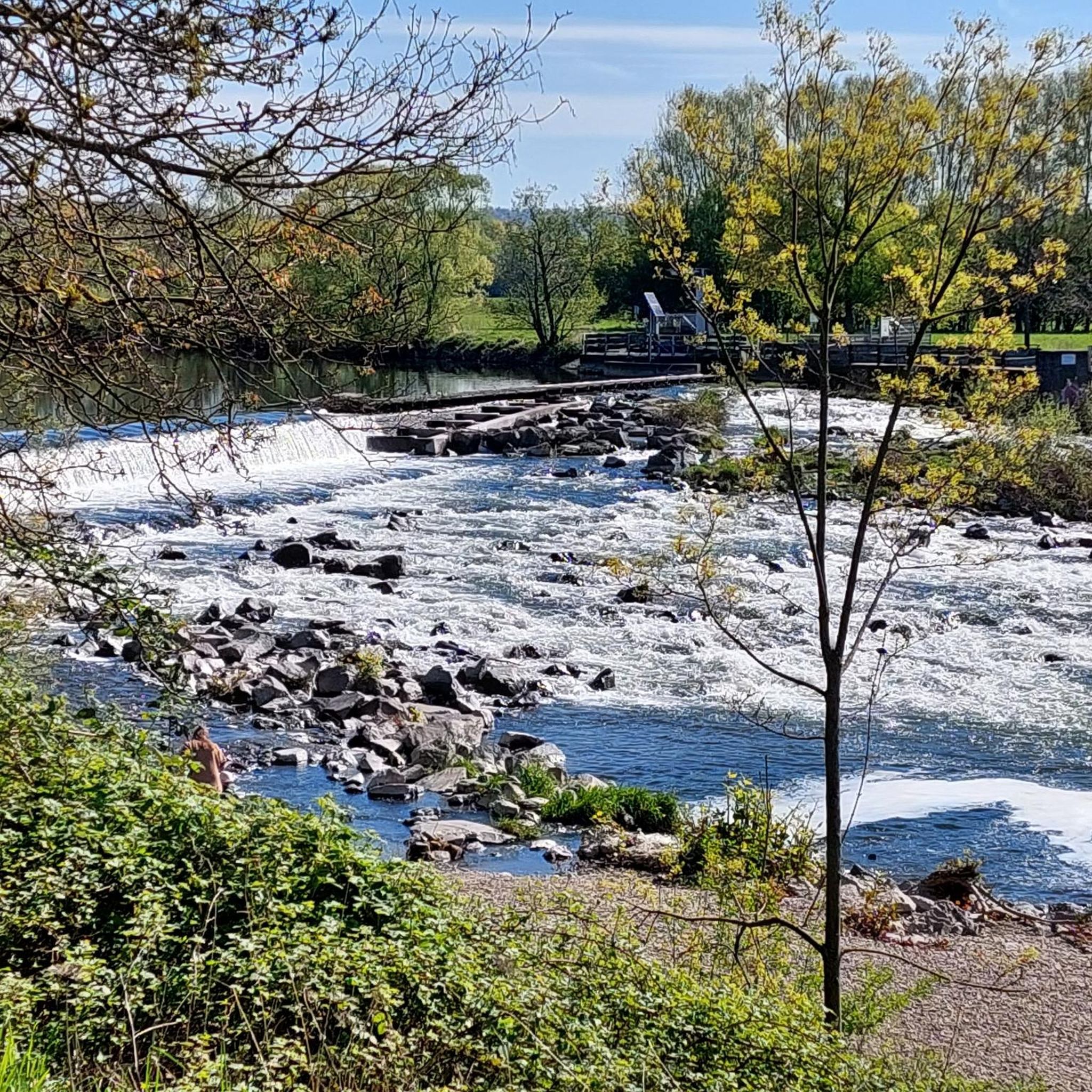
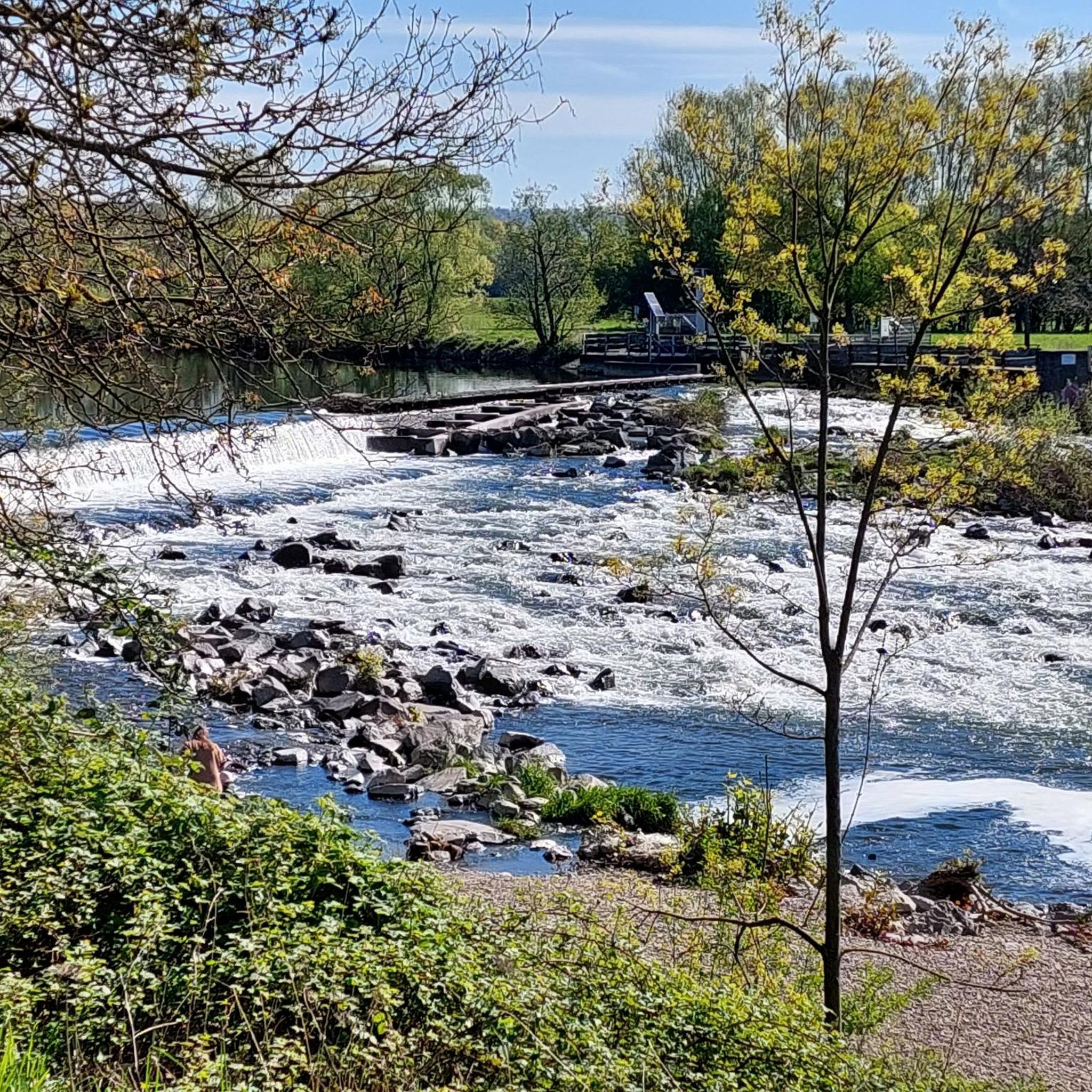
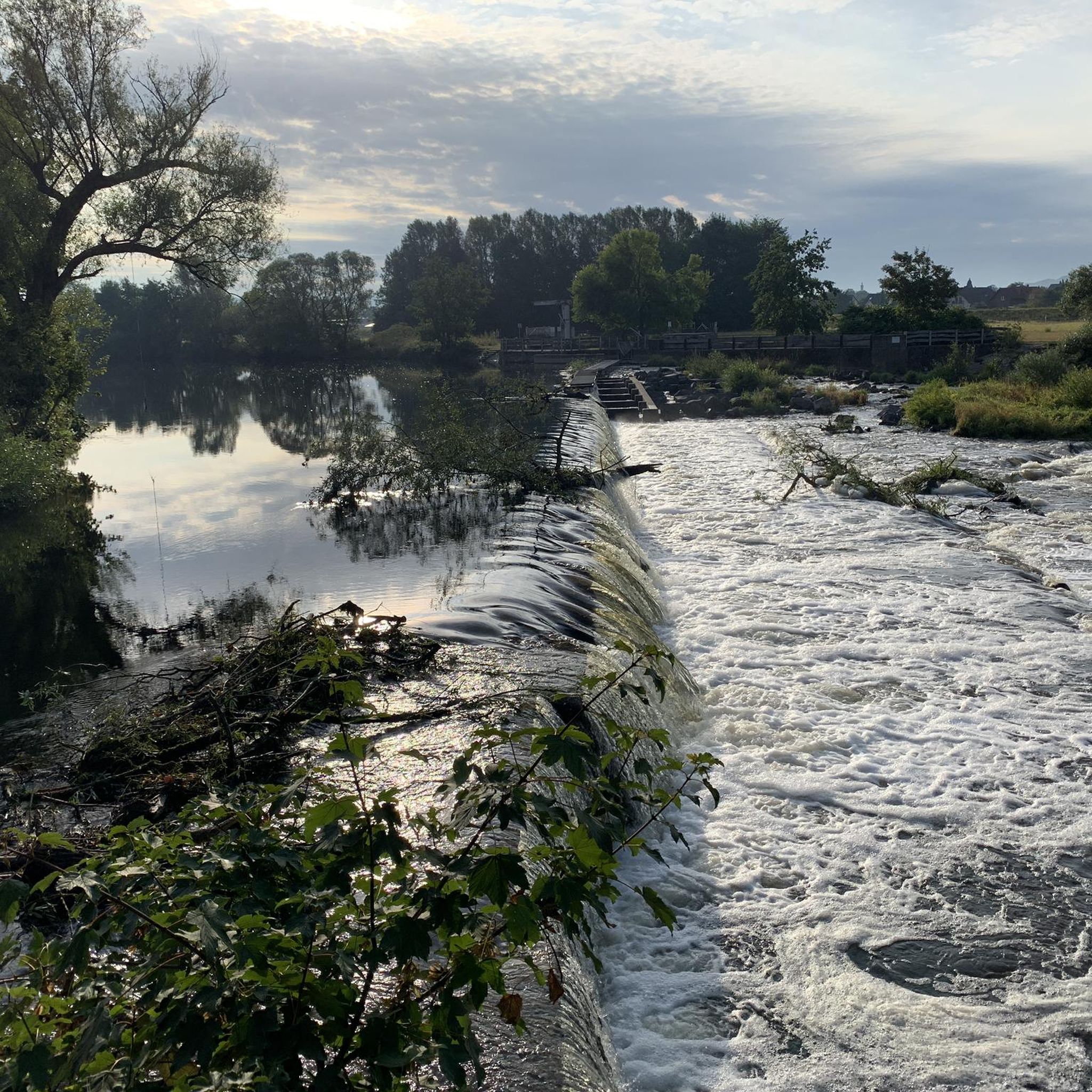
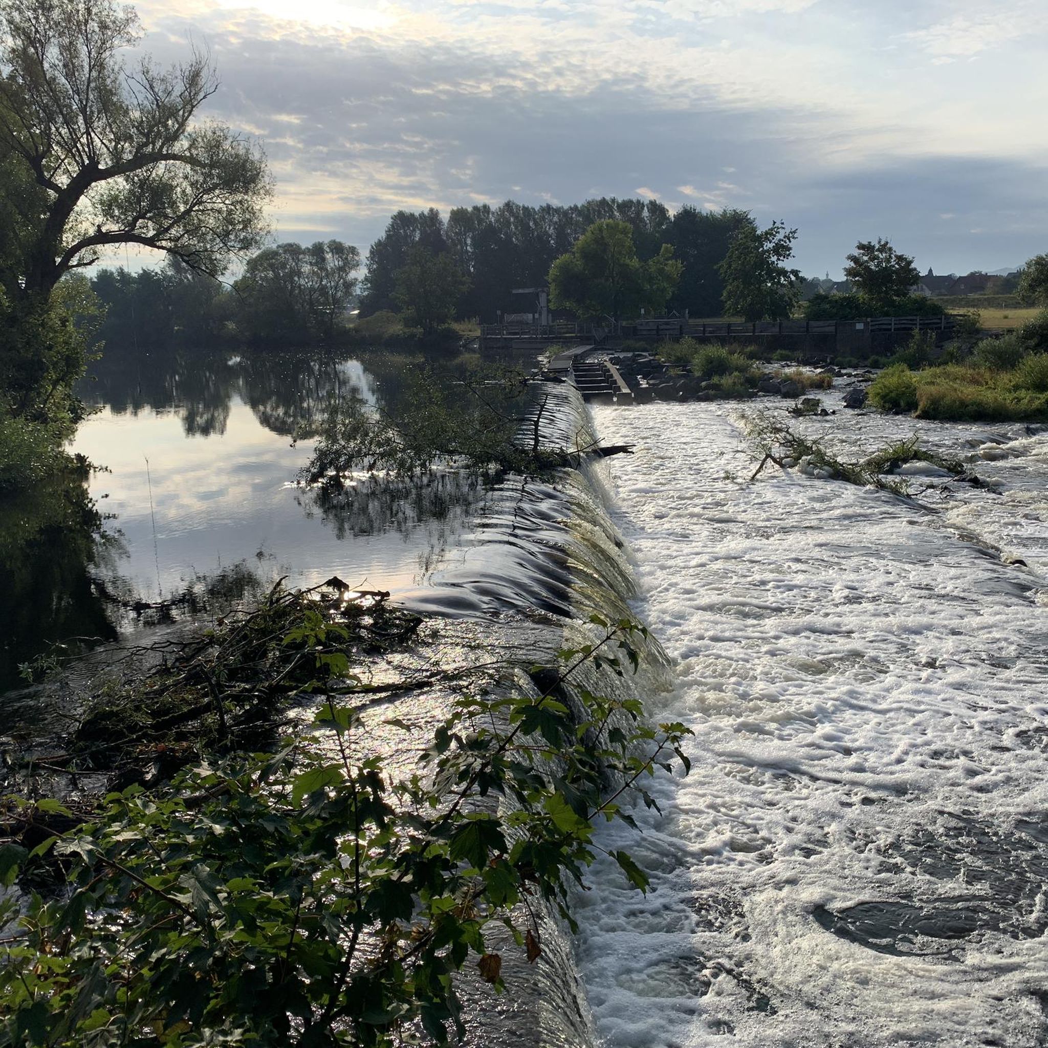
The Siegaue region is rich in natural beauty. Along your routes, you might encounter the ecologically valuable Siegaue Nature Reserve itself, characterized by its floodplain landscape and the Sieg River. Other points of interest include the Sieg Weir and the Fish Ladder at the Siegburg Mill Weir, showcasing the river's dynamics and conservation efforts.
Is Siegaue suitable for family outings with children?
While the routes in this guide feature elevation gain, Siegaue generally offers many opportunities for family-friendly outdoor activities. The region is known for its peaceful walking trails through lush forests and open meadows, and the Sieg River offers shallow parts for wading in warmer months. For routes with elevation, consider the moderate options and assess your family's fitness level. The area is excellent for nature observation and picnicking.
Can I bring my dog on the routes in Siegaue?
Siegaue is generally a dog-friendly region, with many paths suitable for walks with your canine companion. However, as it is a nature reserve and home to diverse wildlife, it's important to keep dogs on a leash, especially in sensitive areas, to protect the local flora and fauna. Always check local signage for specific regulations on individual trails.
What is the best time of year to explore Siegaue?
Siegaue can be enjoyed year-round, but each season offers a different experience. Spring brings blooming wildflowers and active birdlife, while summer is ideal for enjoying the river and picnicking. Autumn transforms the forests with vibrant colors, and winter offers tranquil, crisp walks, though some paths might be muddy. Always check weather conditions before heading out.
Are there any places to eat or drink near the routes?
Yes, you'll find options for refreshments. For instance, the moderate Allner Castle – Bistro-Café Zur Linde loop from Happerschoß passes by the Bistro-Café Zur Linde, offering a convenient stop. The wider Siegaue region and nearby towns also provide various cafes and restaurants where you can refuel after your hike.
Where can I find parking for these routes?
Specific parking information is usually available on the individual route pages on komoot. For example, routes starting 'from Happerschoß' or 'from Bödingen' typically indicate starting points where parking facilities are accessible. It's advisable to check the tour details for the most accurate parking locations before your trip.
What kind of wildlife can I expect to see in Siegaue?
Siegaue is a haven for nature lovers due to its rich biodiversity. It's home to a wide array of flora and fauna, including rare bird species (over 249 different species have been identified here) and wild deer. The area is particularly important for waders and waterfowl as a breeding, resting, feeding, migration, and wintering habitat, making it excellent for bird watching.
What should I wear for hiking in Siegaue?
Given the varied terrain, including forested hillsides and potentially muddy floodplain areas, sturdy hiking boots are recommended. Dress in layers to adapt to changing weather conditions, as the region can experience sudden shifts. Waterproof outerwear is advisable, especially during wetter seasons, and consider bringing insect repellent during warmer months.
Most popular routes in Siegaue
Most popular attractions in Siegaue

Get inspired with the komoot mobile app


Explore more
Browse the best Mountain Hikes & Routes in other regions.
