Streuobst, Kopfeichen Und Quellen Am Hetzleser Berg
Streuobst, Kopfeichen Und Quellen Am Hetzleser Berg
The best mountain hikes in Streuobst, Kopfeichen Und Quellen Am Hetzleser Berg
5
hikers
3
hikes
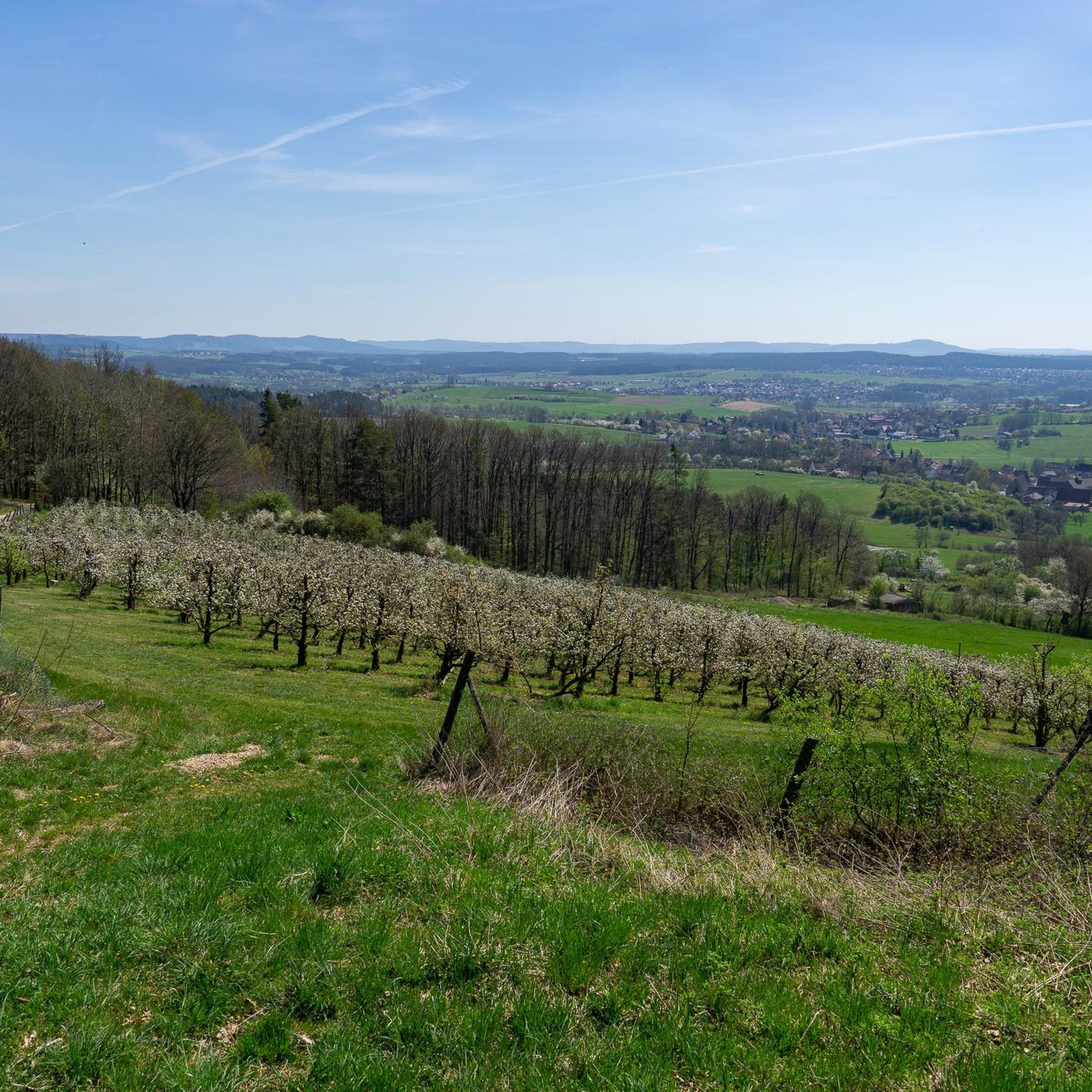
Mountaineering routes in Streuobst, Kopfeichen Und Quellen Am Hetzleser Berg traverse a landscape characterized by scattered fruit orchards, ancient pollard oaks, and numerous natural springs. The region features rolling hills and forested sections, offering varied terrain for exploration. These routes often lead through woodlands and open areas, providing a mix of shaded paths and expansive views. The elevation changes are generally moderate, making the area accessible for different skill levels.
Best mountaineering routes in Streuobst, Kopfeichen Und Quellen Am Hetzleser…
Last updated: October 6, 2026
1
hikers
5.39km
01:38
180m
180m
Easy mountaineering route. Great for any fitness level. Easily-accessible paths. Suitable for all skill levels.
3
hikers
5.69km
01:45
210m
210m
Easy mountaineering route. Great for any fitness level. Easily-accessible paths. Suitable for all skill levels.

1
hikers
5.15km
01:30
130m
130m
Easy mountaineering route. Great for any fitness level. Easily-accessible paths. Suitable for all skill levels.
Our route recommendations are based on thousands of hikes, rides, and runs completed by other people on komoot.
Start today with a free account
Your next adventure awaits.
Popular around Streuobst, Kopfeichen Und Quellen Am Hetzleser Berg
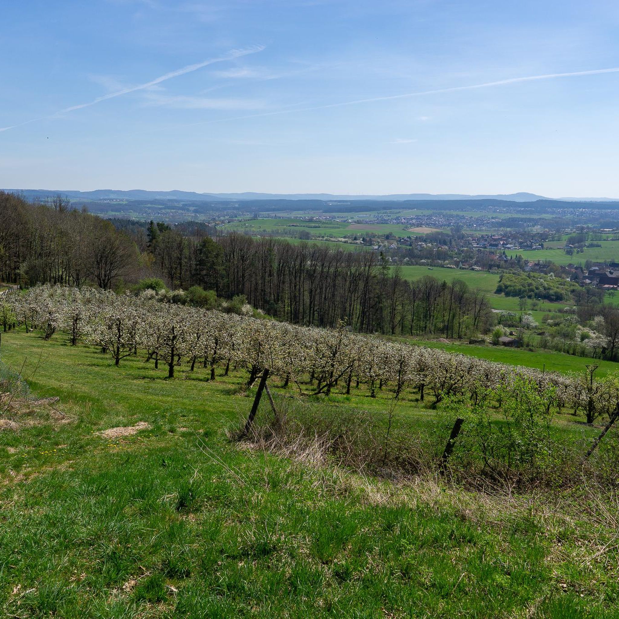
Hiking in Streuobst, Kopfeichen Und Quellen Am Hetzleser Berg
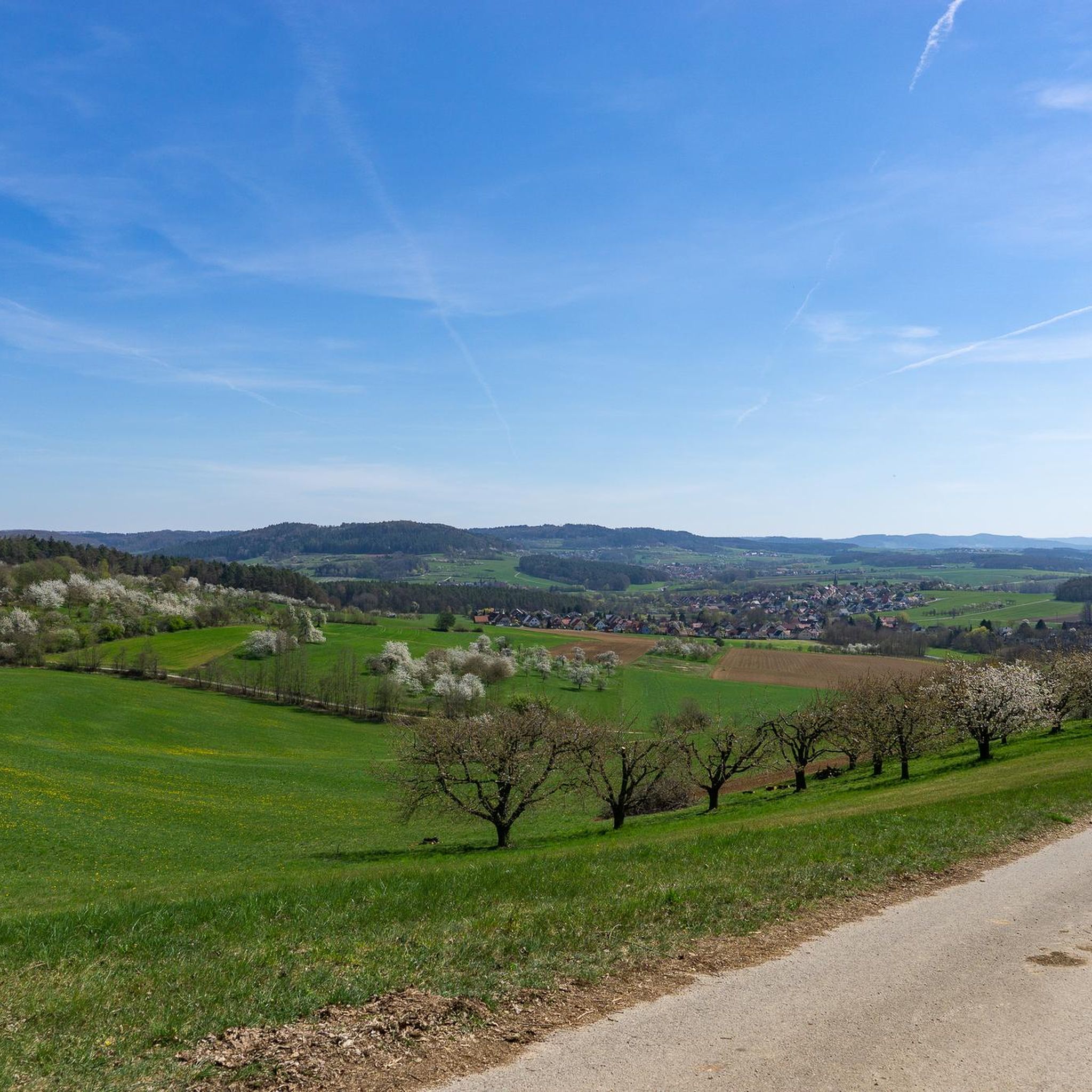
Cycling in Streuobst, Kopfeichen Und Quellen Am Hetzleser Berg
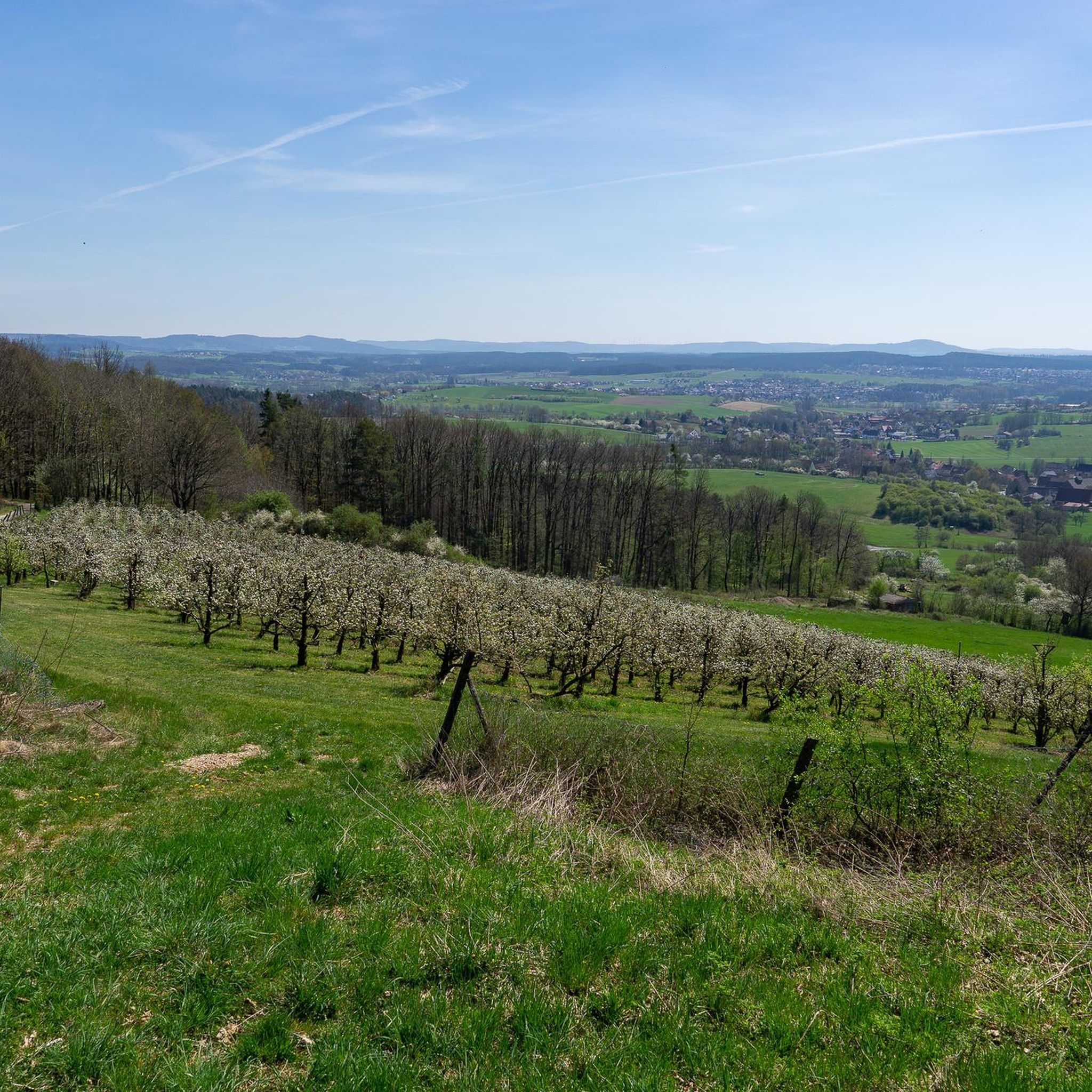
Road Cycling Routes in Streuobst, Kopfeichen Und Quellen Am Hetzleser Berg
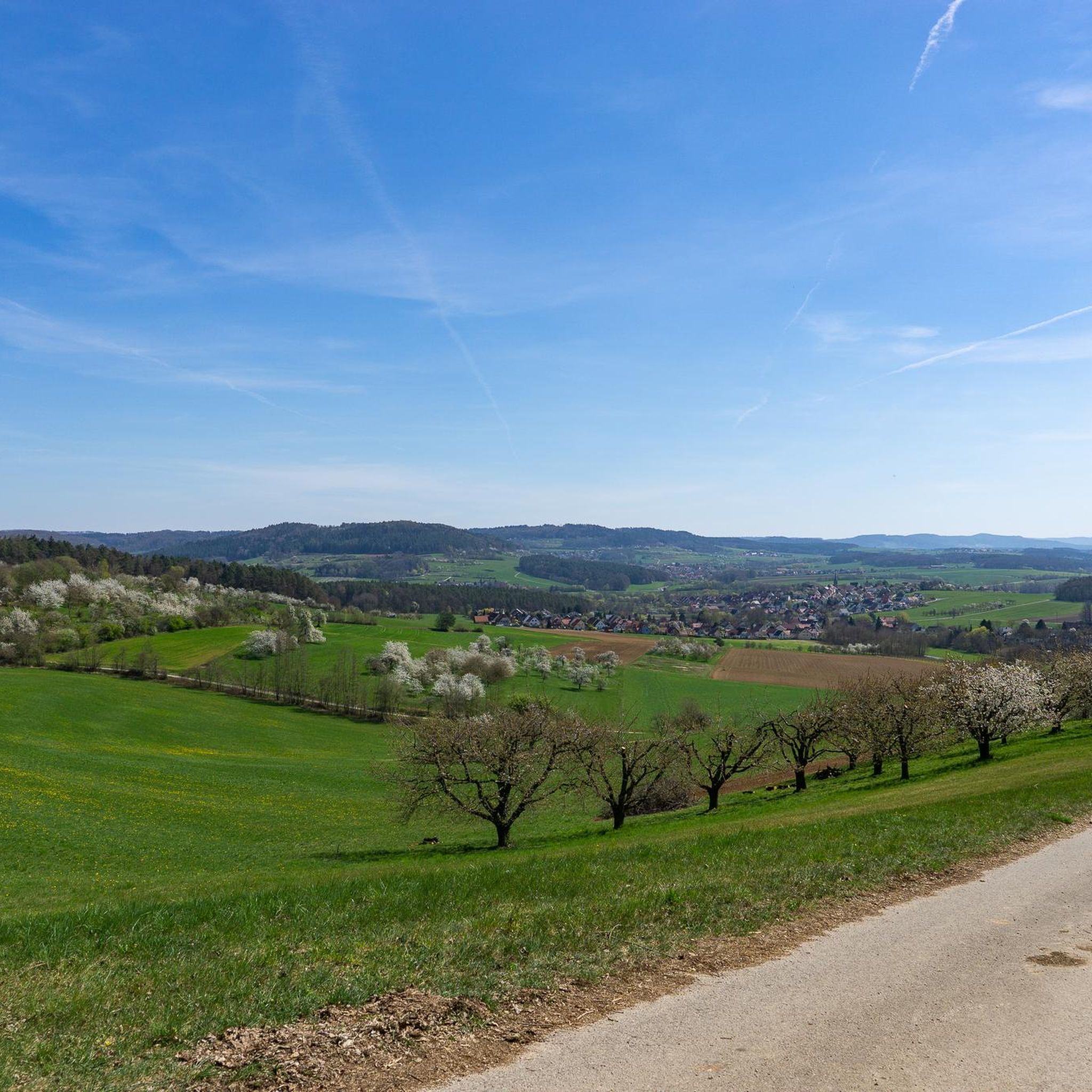
Running Trails in Streuobst, Kopfeichen Und Quellen Am Hetzleser Berg
MTB Trails in Streuobst, Kopfeichen Und Quellen Am Hetzleser Berg

Gravel biking in Streuobst, Kopfeichen Und Quellen Am Hetzleser Berg
Tips from the Community

Fascinating rock formations at the Franconian landmark Walberla.
1
0

In my opinion the best path Connection Leutenbach and St. Moritz - mostly hidden in the woods with a few nice views on the Leutenbach valley and beyond
0
0

Coming from Schlaifhausen, this is the first great view and a resting place after the climb.
3
1

Great view. A beautiful sea of flowers at this time of year.
2
1

View of the well-known rock formation at Walberla, which is also visible from afar below
0
0

The footpath to the rocky outcrop cannot be overlooked
6
1

Stone woman, well I would say it's a fat sleeping witch 😂
6
4
Frequently Asked Questions
How many mountaineering routes are available in Streuobst, Kopfeichen Und Quellen Am Hetzleser Berg?
There are 5 mountaineering routes documented in Streuobst, Kopfeichen Und Quellen Am Hetzleser Berg, offering a variety of experiences for different skill levels.
Are there easy mountaineering routes suitable for beginners in this region?
Yes, Streuobst, Kopfeichen Und Quellen Am Hetzleser Berg offers 3 easy mountaineering routes. A great option for beginners is the Walberla – Cave at the Steinerne Frau loop from Leutenbach, which is 3.3 miles (5.4 km) long and takes about 1 hour 38 minutes.
What are the typical lengths and durations of mountaineering trails in Streuobst, Kopfeichen Und Quellen Am Hetzleser Berg?
The routes vary significantly in length and duration. For instance, shorter routes like the Moritz Spring – Kapuzinerfelsen Viewpoint loop from Leutenbach are around 3.2 miles (5.1 km) and take under 1.5 hours, while longer, more challenging trails such as the Lillach Spring – Three Peaks of Großenohe loop from Gräfenberg can be up to 12.0 miles (19.3 km) and require over 5 hours to complete.
Are there any circular mountaineering routes in the area?
Yes, all the featured mountaineering routes in Streuobst, Kopfeichen Und Quellen Am Hetzleser Berg are circular. This allows you to start and end your journey at the same point, making logistics easier. An example is the Community Weißenohe – Gräfenberg Old Town loop from Weißenohe.
What kind of natural attractions can I expect to see along the mountaineering routes?
The region is known for its natural beauty, including scattered fruit orchards, ancient pollard oaks, and numerous natural springs. You might encounter highlights like the Pollard Oaks at Hetzleser Berg or the Fürstquellen Springs. The routes often lead through woodlands and open areas, providing a mix of shaded paths and expansive views.
Are the mountaineering trails in Streuobst, Kopfeichen Und Quellen Am Hetzleser Berg suitable for families?
Many of the easy routes are suitable for families, especially those with moderate elevation changes and shorter distances. The region's diverse landscape with orchards and springs offers an engaging environment for children. Consider routes like the Twin rock formation at Walberla – Cave at the Steinerne Frau loop from Leutenbach for a family-friendly outing.
What do other mountaineers say about the routes in Streuobst, Kopfeichen Und Quellen Am Hetzleser Berg?
The area is highly rated by the komoot community, with an average score of 4.0 stars from over 1 review. Mountaineers often praise the varied terrain, which includes orchards, woodlands, and natural springs, making for a diverse and enjoyable experience.
Are there any viewpoints or scenic spots along the trails?
Yes, the routes often provide expansive views over the rolling hills and forested sections. While specific named viewpoints are not detailed for every route, the natural elevation changes and open areas frequently offer picturesque vistas of the surrounding landscape. The Moritz Spring – Kapuzinerfelsen Viewpoint loop from Leutenbach specifically mentions a viewpoint.
What makes the landscape of Streuobst, Kopfeichen Und Quellen Am Hetzleser Berg unique for mountaineering?
The region's unique character comes from its combination of traditional scattered fruit orchards (Streuobst), ancient pollard oaks (Kopfeichen), and numerous natural springs (Quellen). This creates a distinctive and varied landscape that is rich in biodiversity and offers a different kind of mountaineering experience compared to more rugged mountain ranges.
Is it possible to find less crowded mountaineering routes in the area?
While some routes are popular, the region offers a network of trails. To find less crowded options, consider exploring some of the easy or moderate routes that might be less frequented than the most well-known ones. Early mornings or weekdays are generally good times to experience more solitude on any trail.
Most popular routes in Streuobst, Kopfeichen Und Quellen Am Hetzleser Berg
Most popular attractions in Streuobst, Kopfeichen Und Quellen Am Hetzleser Berg

Get inspired with the komoot mobile app


Explore more
Browse the best Mountain Hikes & Routes in other regions.
