The best mountain hikes around Ruppichteroth
4
hikers
3
hikes
Mountaineering around Ruppichteroth is characterized by its undulating, forested terrain within the Bergisches Land region. The landscape features green hills and extensive woodlands, with elevations reaching approximately 374 meters (1,227 feet). The area is also influenced by the Sieg River valley, offering varied topography for strenuous treks and mountain hikes.
Best mountaineering routes around Ruppichteroth
- The most popular mountaineering route is Stachelberg – Halberger Bachtal singletrack loop from Bödingen, a 6.3 miles (10.2 km) trail that takes 3 hours…
Last updated: October 8, 2026
1
hikers
10.2km
03:10
310m
310m
Moderate mountaineering route. Good fitness required. Mostly accessible paths. Sure-footedness required.
2
hikers
23.8km
06:51
530m
530m
Hard mountaineering route. Very good fitness required. Mostly accessible paths. Sure-footedness required.

1
hikers
Moderate mountaineering route. Good fitness required. Easily-accessible paths. Suitable for all skill levels.
Our route recommendations are based on thousands of hikes, rides, and runs completed by other people on komoot.
Start today with a free account
Your next adventure awaits.
Popular around Ruppichteroth
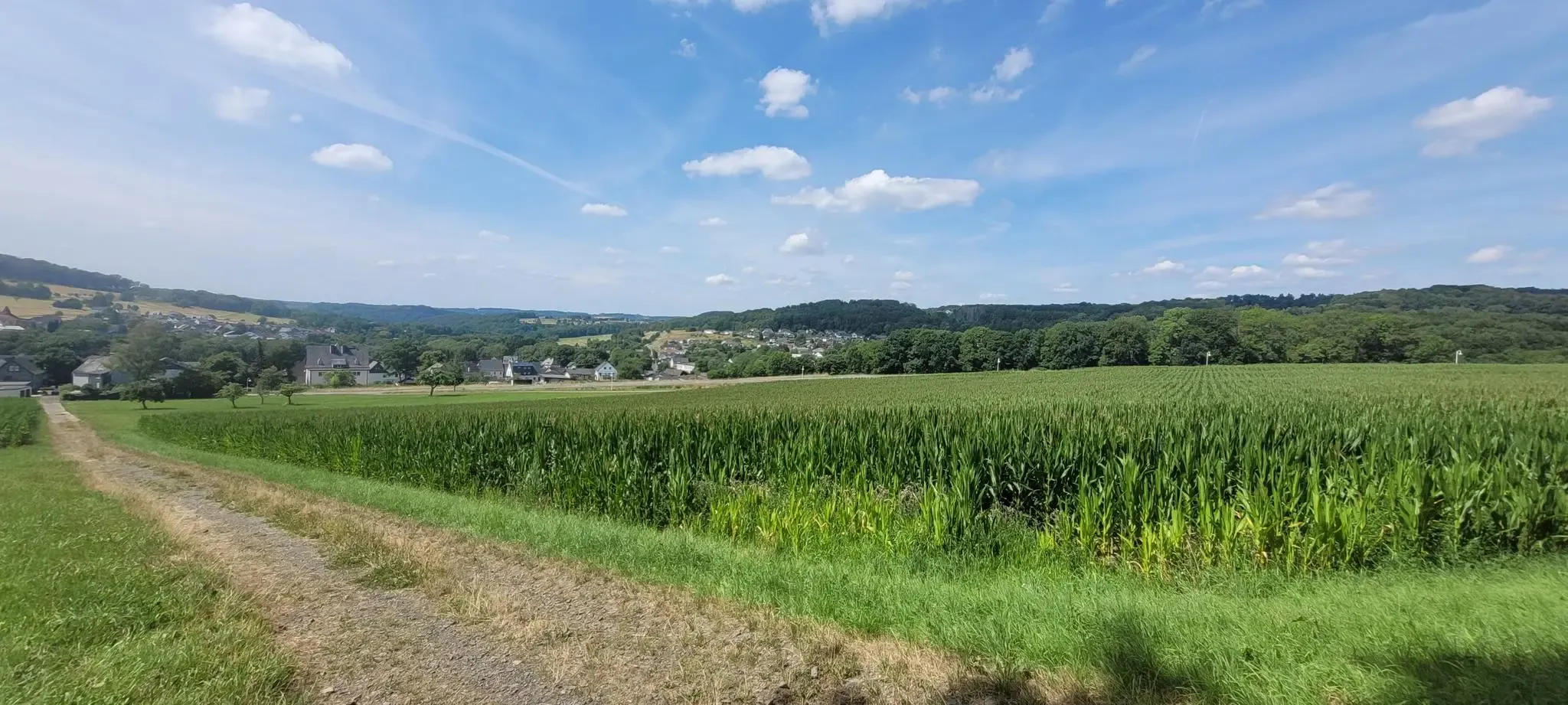
Hiking on the Cologne Trail – Discover nature close to the city
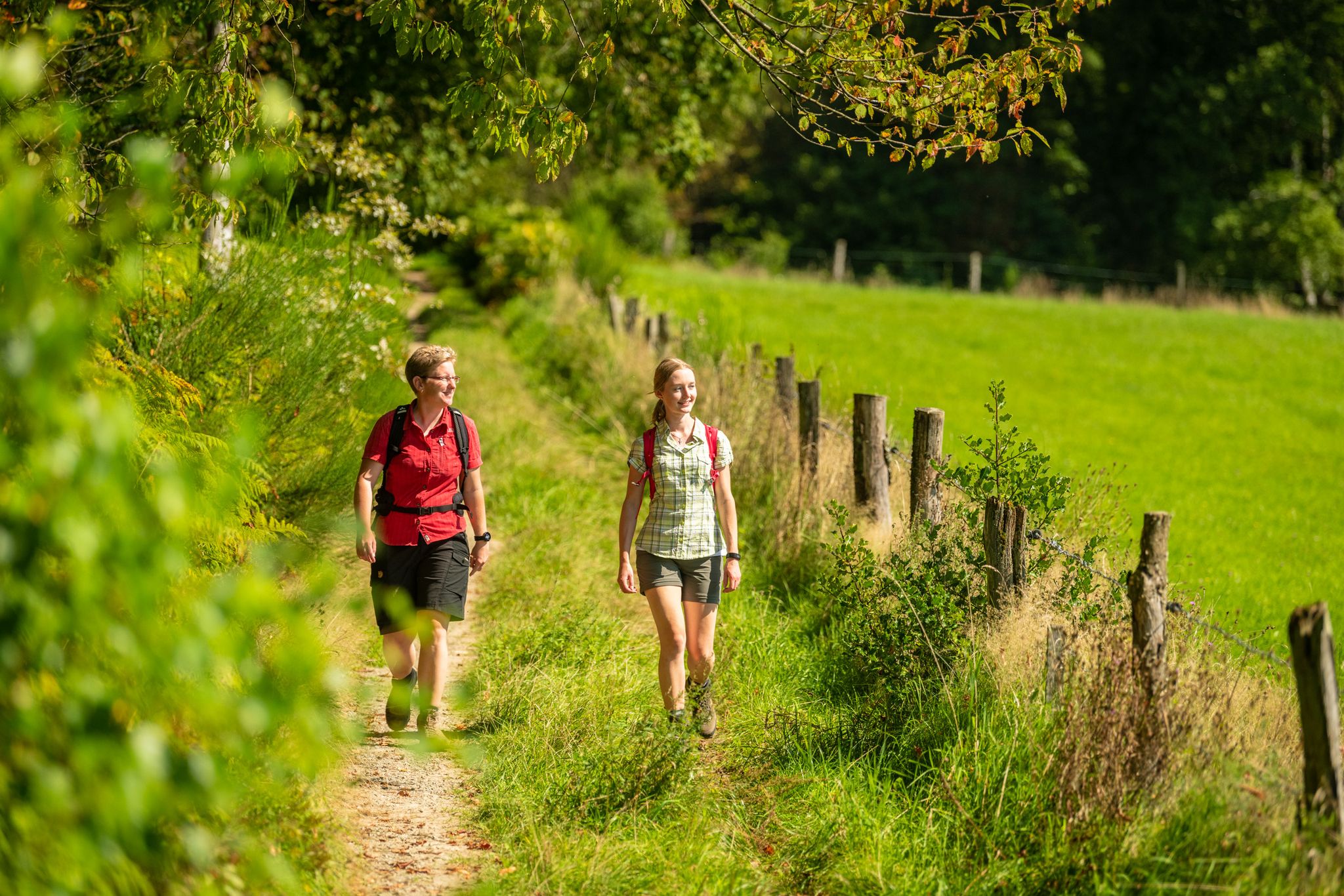
Bergische Rambles – themed and adventure trails in the Bergisches Land region
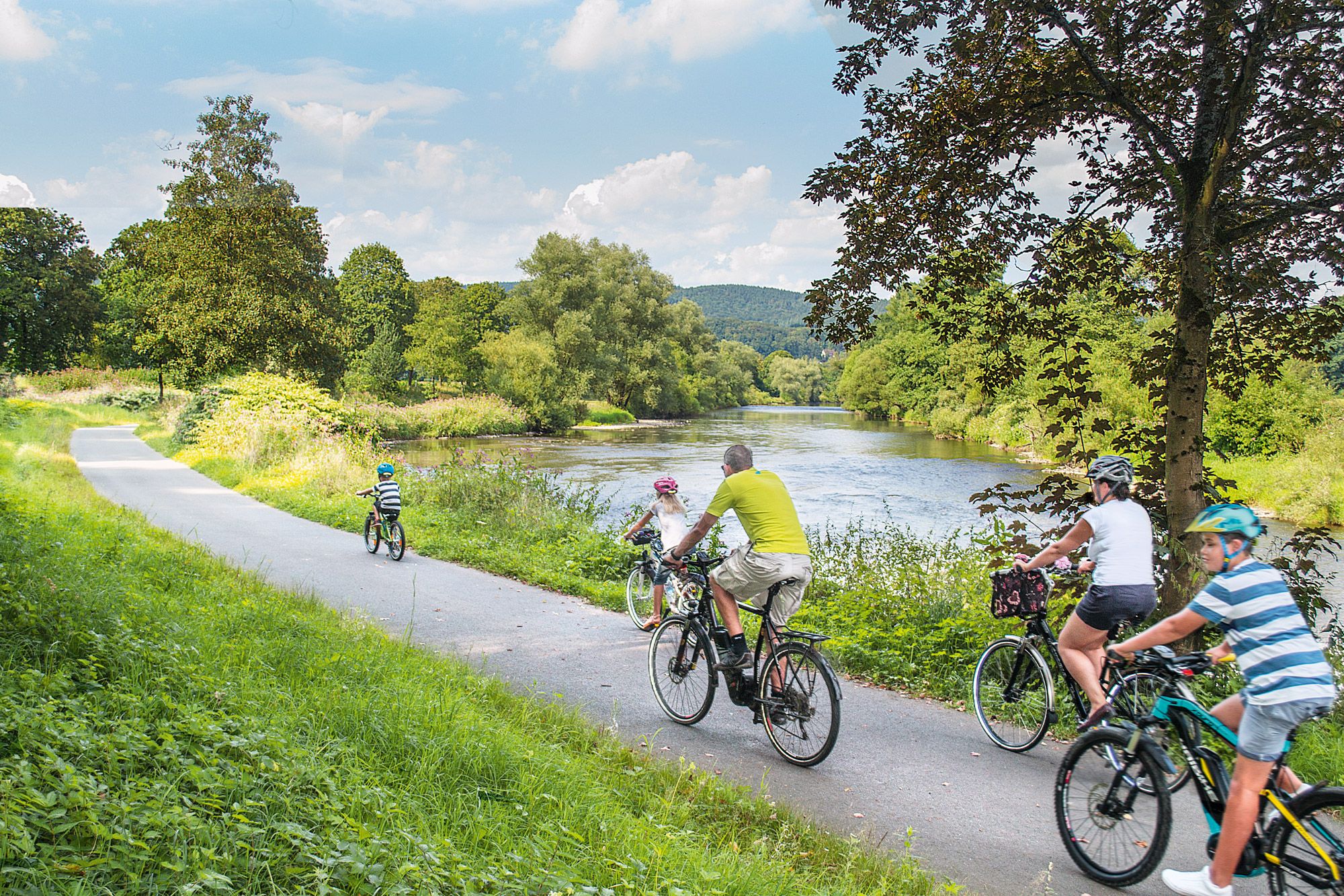
Nature bathing on your bike – beautiful Tours on the Rhine and Sieg
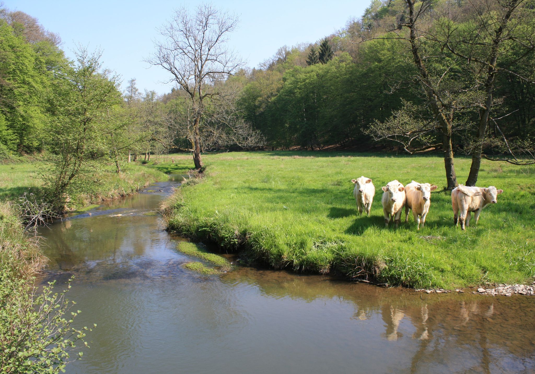
Nature and culture in beautiful landscapes – hikes on the Rhine and Sieg
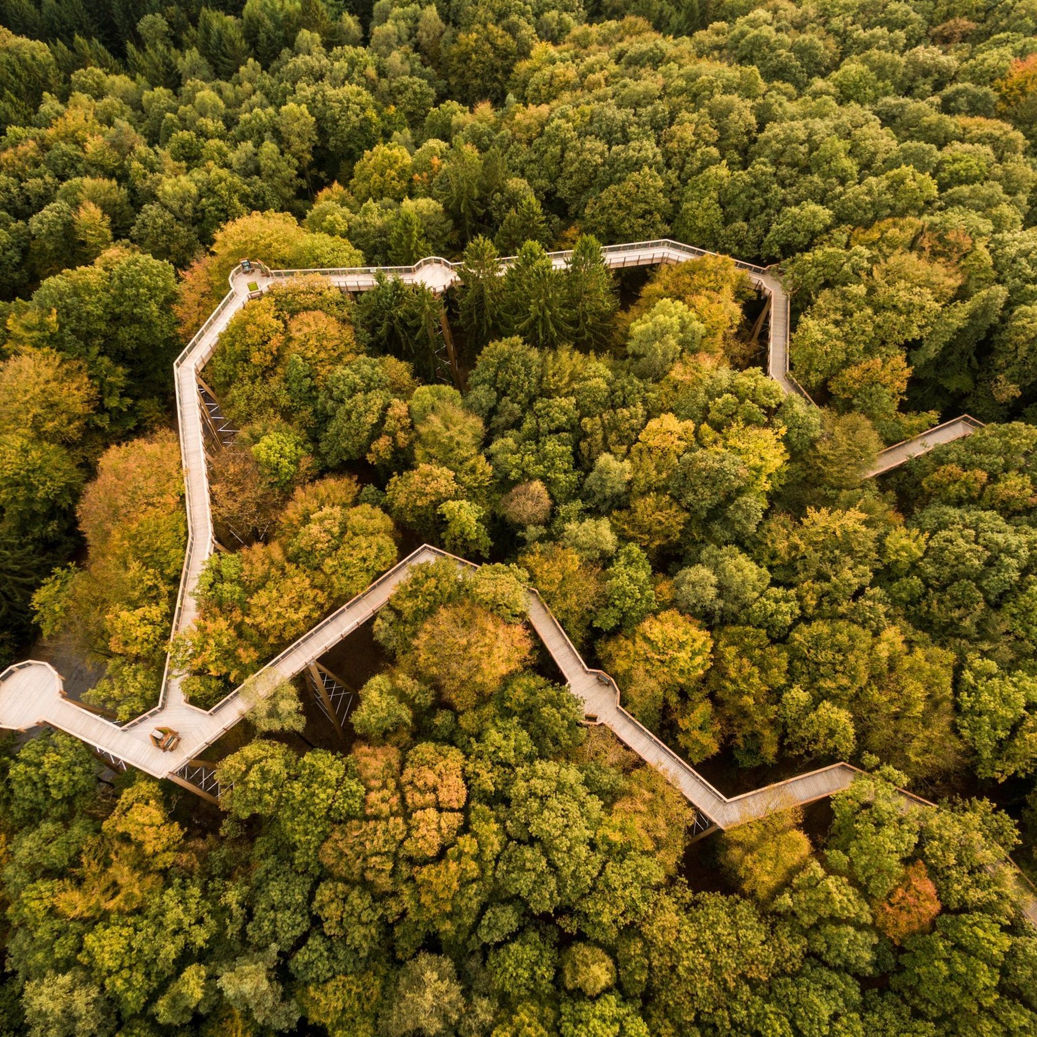
Hiking around Ruppichteroth
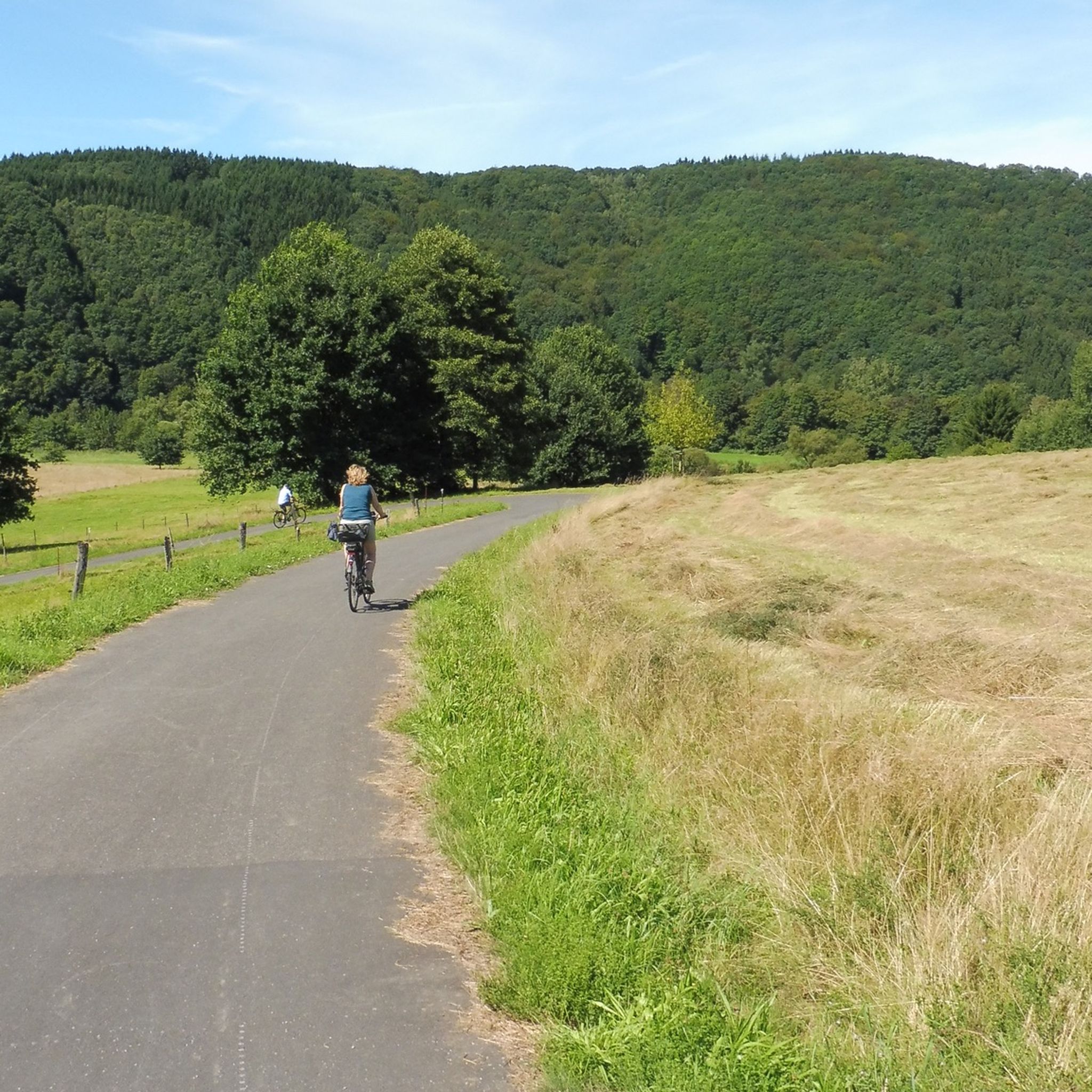
Cycling around Ruppichteroth
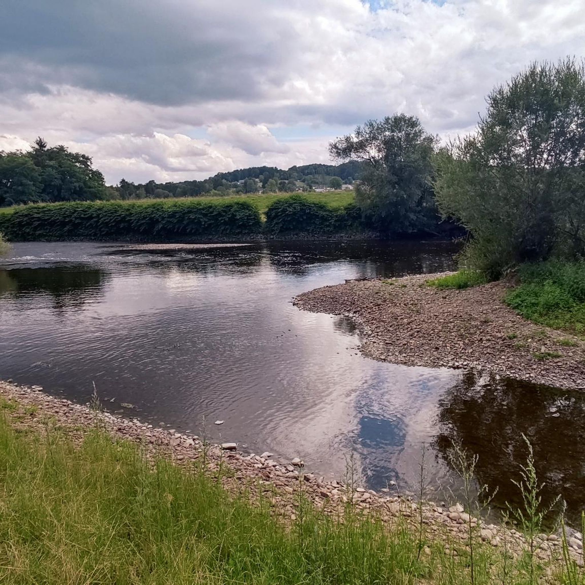
Road Cycling Routes around Ruppichteroth
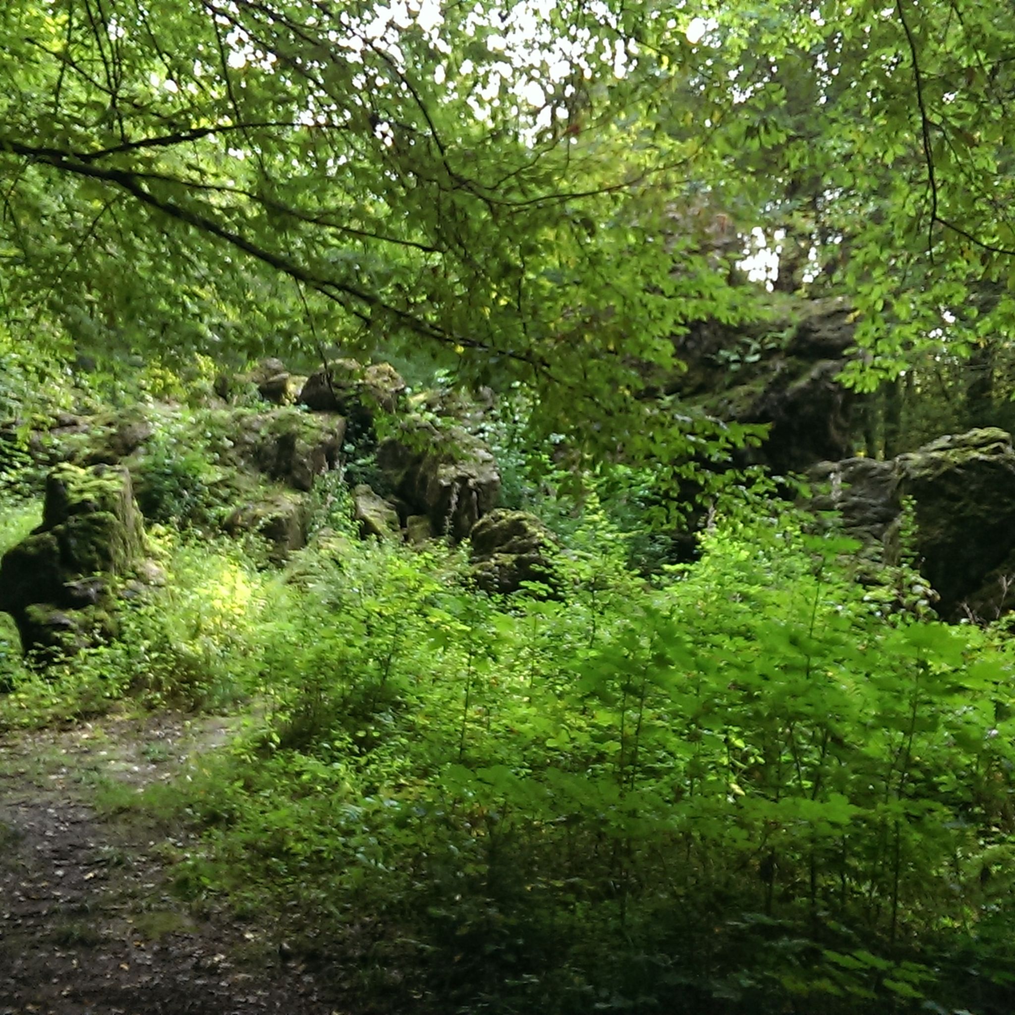
MTB Trails around Ruppichteroth
Running Trails around Ruppichteroth
Gravel biking around Ruppichteroth
Other adventures around Ruppichteroth


Tips from the Community

Clearly visible above the Sieg valley
2
0
Enjoy the old crooked archway
2
0
It starts at the hiking parking lot
2
0
Trench tower of the town fortifications in Blankenberg
5
0

Since the milestone is now quite overgrown, it is not discovered at first glance. It is located opposite the stairs on the other side of the path.
1
0

Of course, hikers can find information in advance on relevant websites, for example with the following link to stage 12, which – comparatively short at just under 14 kilometers – leads from Hennef to Stadt Blankenberg (despite being named 'Stadt', it is a district of Hennef) =>> https://www.bergisches-wanderland.de/bergischer-weg/etappen-des-bergischen-weges/etappe-12-von-hennef-nach-stadt-blankenberg-137-km The route description reads as follows: "This stage is full of views, offering new perspectives into the valleys of Bröl and Sieg and, with good visibility, allowing you to discover the Siebengebirge and the Eifel on the horizon. For this, however, some climbs have to be overcome on the comfortable forest paths and dreamlike rocky trails. The school where the idea for the first youth hostel was born, the half-timbered village of Auel and the medieval town of Blankenberg also ensure that there is no monotony in terms of culture and appearance."
0
0

A very nice trail that goes quite uphill in places.
2
0

A trip to the town of Blankenberg is like a journey to another time.
1
0
Frequently Asked Questions
What kind of terrain can I expect on mountaineering routes around Ruppichteroth?
Mountaineering routes in the Ruppichteroth area are characterized by undulating, forested landscapes within the Bergisches Land region. You'll find a mix of green hills, dense woodlands, and paths influenced by the Sieg River valley. While not high-altitude, some trails feature more demanding sections, including what's described as an "alpine section at the Stachelberg," offering strenuous ascents and rugged terrain.
Are there any challenging mountaineering routes in Ruppichteroth?
Yes, Ruppichteroth offers several challenging routes. For instance, the Stachelberg – Halberger Bachtal singletrack loop from Bödingen is a difficult 10.2 km trail with challenging singletrack sections. Another demanding option is the Stachelberg – City of Blankenberg loop from Bödingen, an extensive 23.2 km route with varied terrain and panoramic views.
What are some notable landmarks or points of interest along the mountaineering routes?
Along the routes, you can encounter several interesting points. The Stachelberg is a prominent feature, and some trails offer views towards the historic City of Blankenberg. For panoramic vistas, the observation tower on the Eulenberg provides spectacular views over the landscape. You might also pass by cultural sites like the historic town center of Ruppichteroth with its half-timbered houses.
Are there any circular mountaineering routes available?
Yes, many of the mountaineering routes in the region are designed as loops. Examples include the difficult Stachelberg – Halberger Bachtal singletrack loop from Bödingen and the longer Stachelberg – City of Blankenberg loop from Bödingen. For a moderate option, consider the Allner Castle – Bistro-Café Zur Linde loop from Happerschoß.
What is the best time of year for mountaineering in Ruppichteroth?
The Bergisches Land region, where Ruppichteroth is located, is beautiful year-round. Spring and autumn offer pleasant temperatures and vibrant natural colors, making them ideal for exploring the forested trails. Summer provides longer daylight hours, while winter can offer a different, quieter experience, though some trails might be more challenging due to weather conditions.
Are there any family-friendly mountaineering options in the area?
While many routes are rated moderate to difficult, the region's extensive network of trails includes easily walkable forest paths. For families, it's advisable to look for shorter, less strenuous sections or trails specifically marked as suitable for children. The varied topography allows for choosing routes that match different fitness levels.
Can I find places to eat or drink along the routes?
Yes, the region has various options for refreshments. The Allner Castle – Bistro-Café Zur Linde loop from Happerschoß, for example, suggests a stop at a bistro-café. Additionally, you can find huts and rest areas like the Moss Hut or the Forsthaus Hüppelröttchen Rest Area, which can be convenient stops during your tour.
What kind of wildlife might I encounter on the trails?
The Ruppichteroth area, being part of a sprawling nature reserve with dense forests and river valleys, is home to diverse flora and fauna. You might spot various bird species, deer, and smaller mammals. The region's natural features, including the Bröl and Sieg rivers and unique hardwood floodplains, contribute to a rich natural habitat.
Are there any observation points with good views?
Yes, for excellent panoramic views, you can visit the observation tower on the Eulenberg. Some trails also offer scenic overlooks, including views of the Siebengebirge, such as the Großer Ölberg, providing expansive vistas over the surrounding landscape.
What is the highest point I can reach on a mountaineering route in Ruppichteroth?
The highest elevation within Ruppichteroth itself is the Gold-Berg, standing at 360.6 meters above sea level. While specific routes might not always lead directly to the summit, the overall mountaineering experience in the region involves navigating hilly terrain with elevations reaching approximately 374 meters (1,227 feet).
Are there any specific shelters or huts available for mountaineers?
Yes, the area provides some facilities for mountaineers. You can find places like the Dreisel Ascent Trail with Shelter, the Moss Hut, and the Krahmer Scheune. These can offer a place to rest or take shelter during your tour.
Most popular routes around Ruppichteroth
Most popular attractions around Ruppichteroth

Get inspired with the komoot mobile app


Explore more
Browse the best Mountain Hikes & Routes in other regions.
