The best mountain hikes around Vettweiß
4.9
(15)
22
hikers
2
hikes
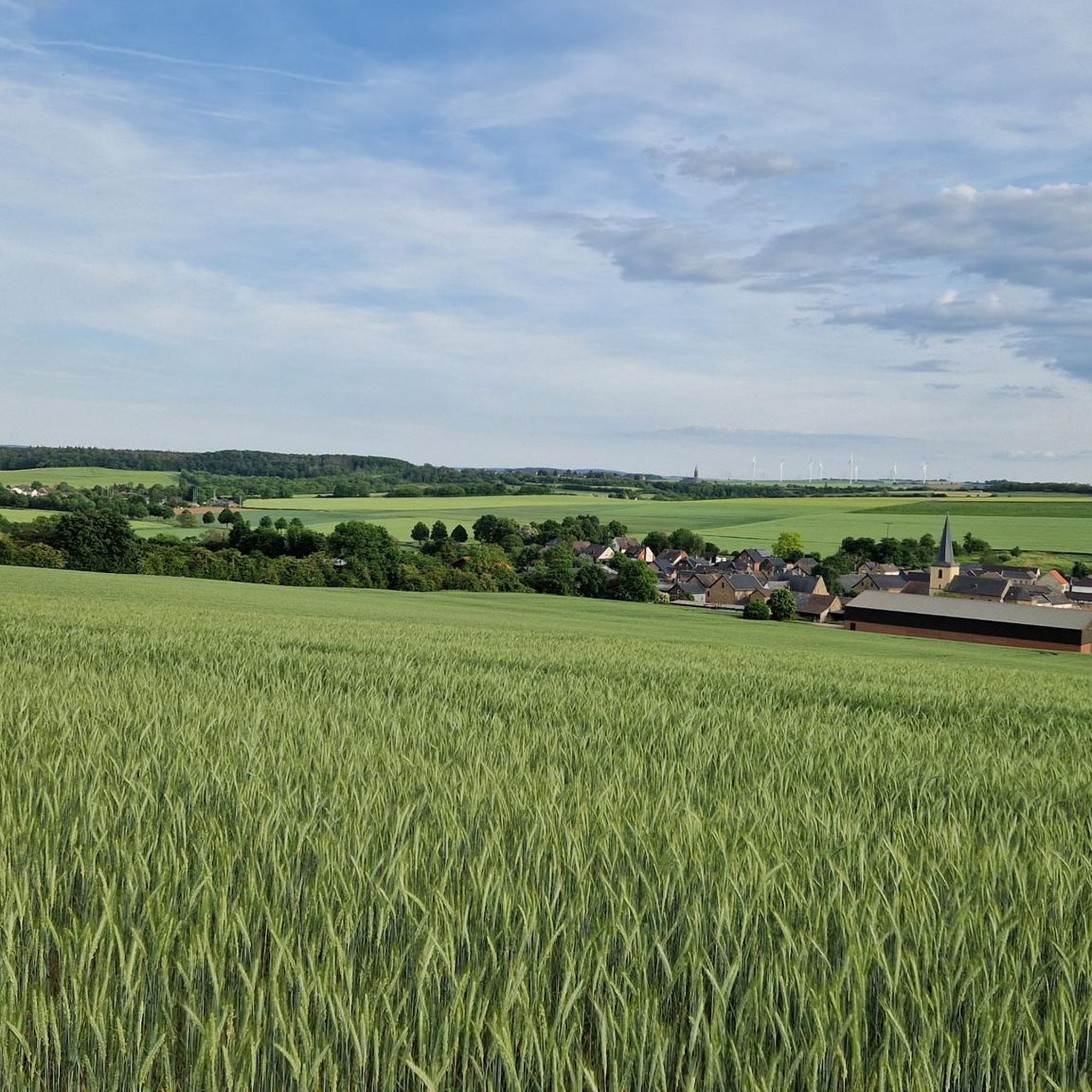
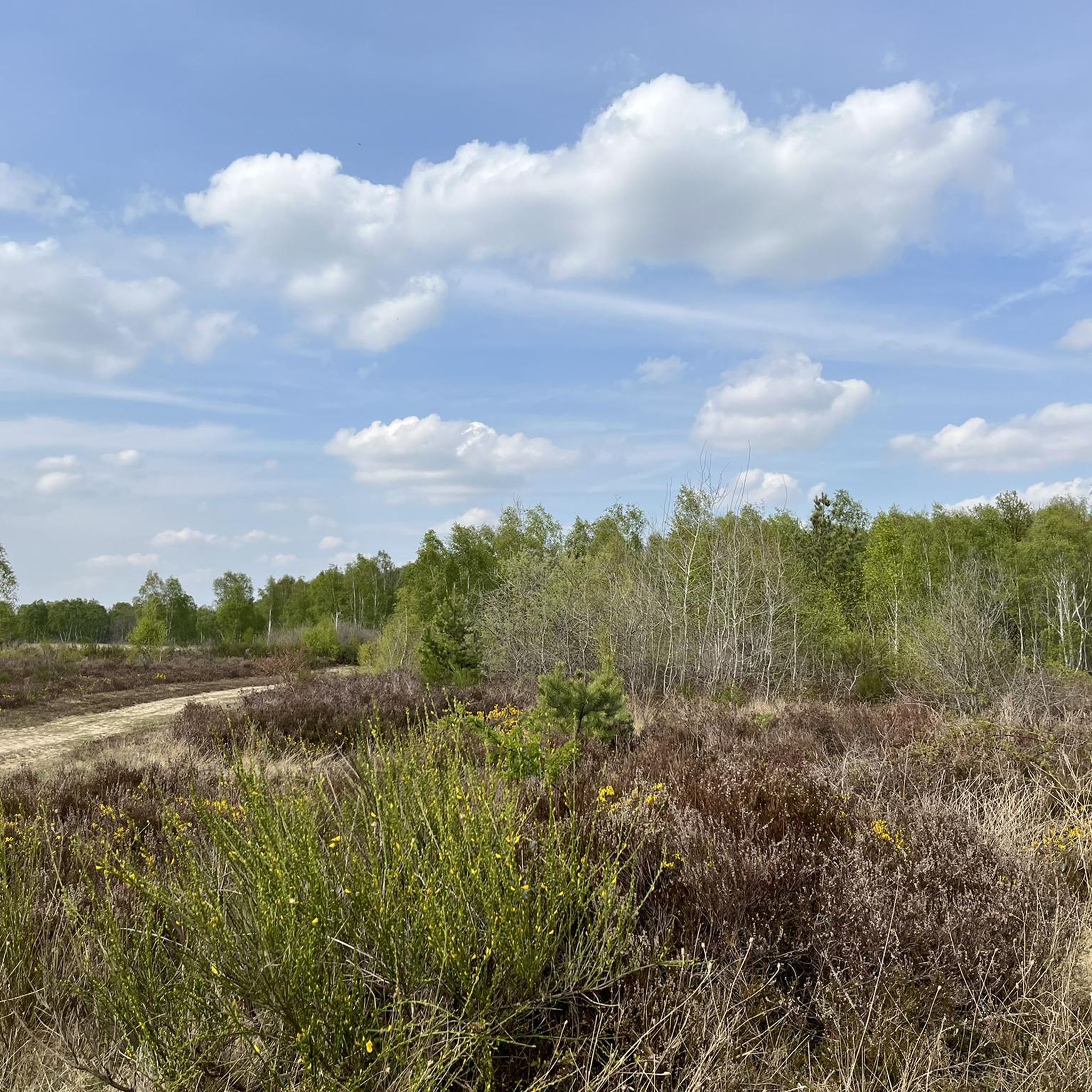
Mountaineering around Vettweiß primarily involves routes through rolling hills, green forests, and along idyllic lakes within the Düren district of Germany. The region is characterized by varied terrain, including sections of the Eifel National Park, offering extensive opportunities for challenging hikes with significant elevation gain. The landscape features river valleys, such as those along the Rur River, and areas like Drover Heide with unique heathlands and meadows. While traditional high-alpine mountaineering is not characteristic, the area provides routes with notable…
Last updated: July 5, 2026
4.8
(16)
21
hikers
19.8km
05:58
610m
610m
Hard mountaineering route. Very good fitness required. Easily-accessible paths. Suitable for all skill levels.
5.0
(1)
4
hikers
8.25km
02:27
230m
230m
Moderate mountaineering route. Good fitness required. Mostly accessible paths. Sure-footedness required.
Our route recommendations are based on thousands of hikes, rides, and runs completed by other people on komoot.
Start today with a free account
Your next adventure awaits.
Login or Signup
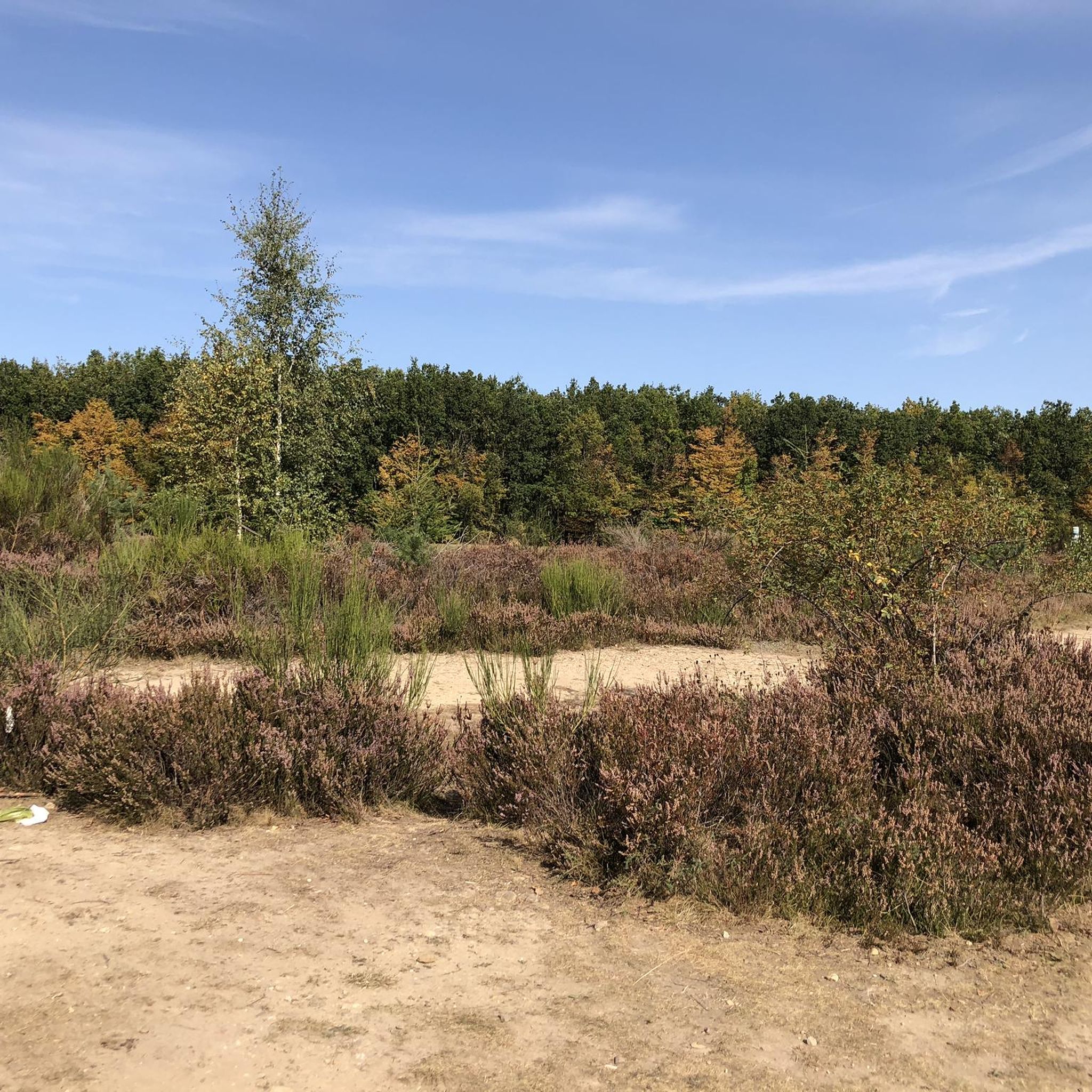
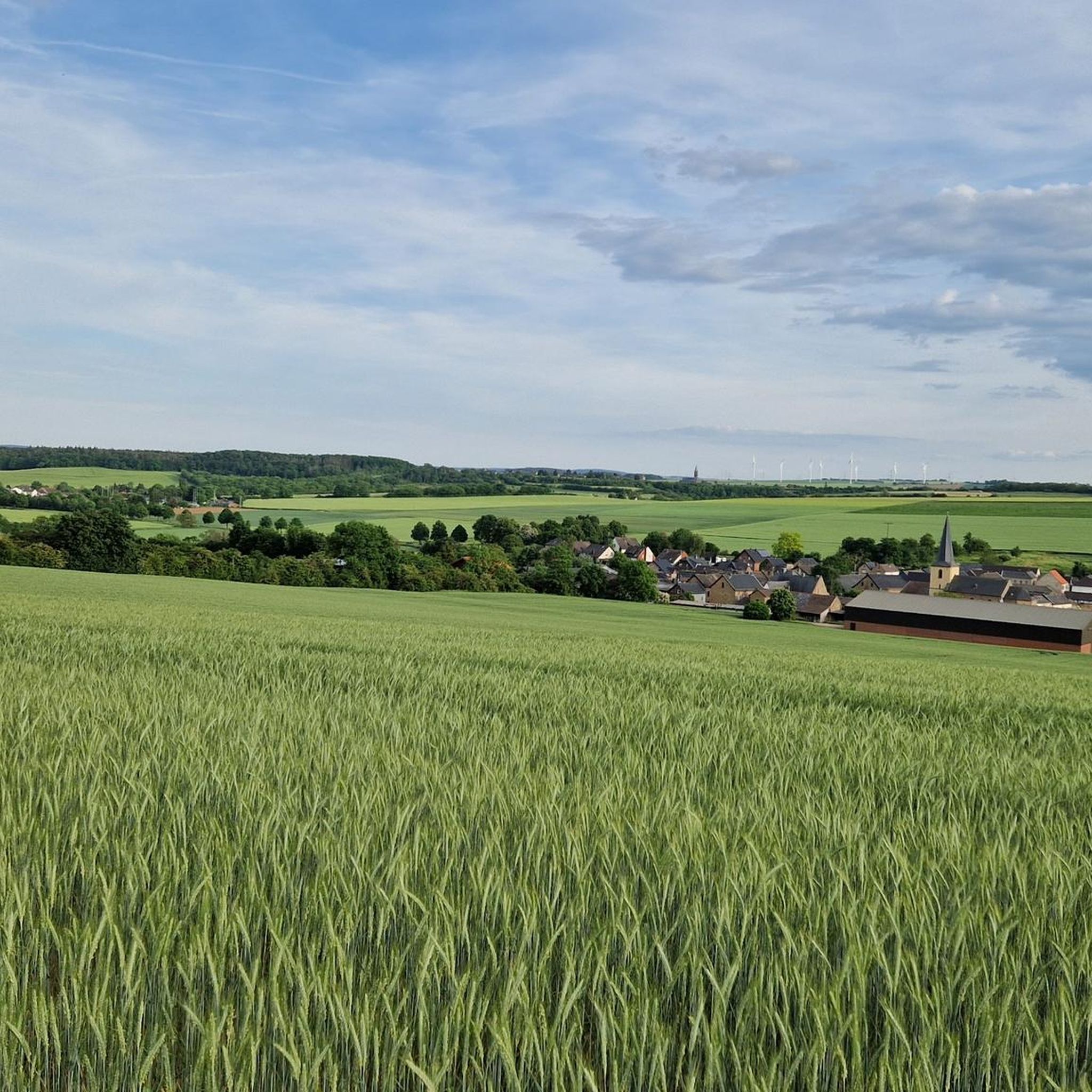
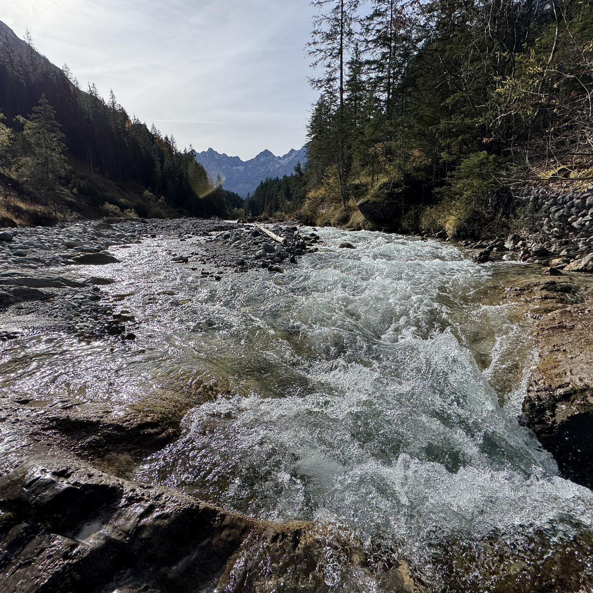
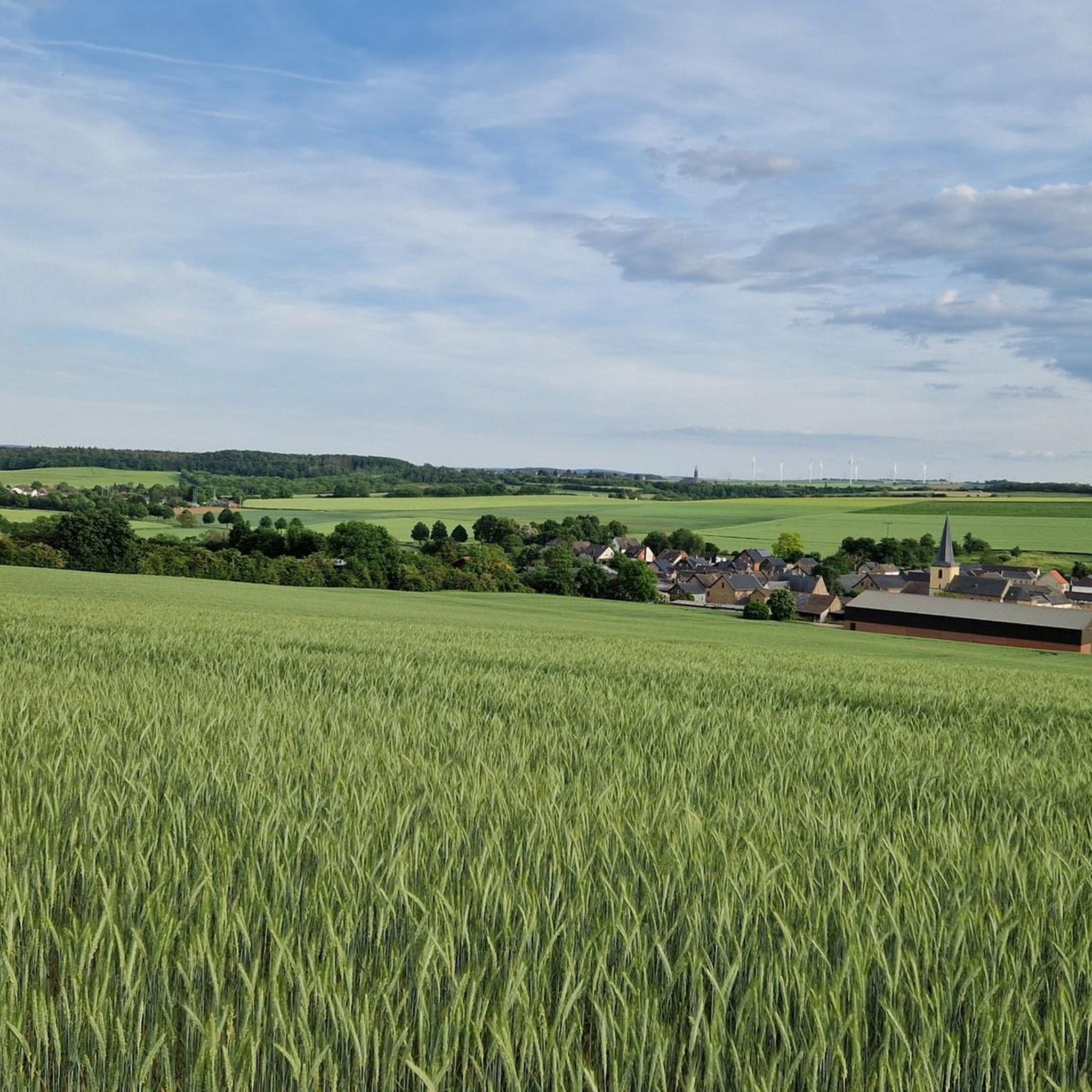
Tips from the Community


This route offers room for variations....
0
0

Great area… Absolutely recommendable, definitely again that’s for sure
1
0

Anyone familiar with the ancient idiom—now largely lost—will recognize the root word "meucheln" (to kill/murder) in the "Meuchelberg" found here. The fact that the local cemetery is located at its foot on the outskirts of Heimbach naturally reinforces this impression. GH's interesting article, with its link to several legends that—albeit with different interpretations of the details—all convey the same core message, could indeed explain the name.
8
0

The forest path that leads there is also easy to walk with a stroller.
2
0

Unfortunately, the cafe and the legendary cream puffs are no longer there.
1
0


The Ouddoor art gallery is located directly at the Heimbach reservoir opposite the boat rental.
2
0
Frequently Asked Questions
What kind of terrain can I expect on mountaineering routes around Vettweiß?
Mountaineering routes in the Vettweiß area primarily traverse rolling hills, dense forests, and scenic river valleys, particularly along the Rur River. You'll encounter varied terrain, including sections within the Eifel National Park and unique heathlands like Drover Heide. Expect significant elevation changes, with routes featuring notable ascents and descents through this hilly environment.
Are there circular mountaineering routes available near Vettweiß?
Yes, several mountaineering routes around Vettweiß are designed as circular paths. For example, the challenging Staubecken Heimbach – Meuchelberg loop from Hausen offers over 600 meters of elevation gain, while the moderate Eugenienstein – Mausauel Rur Bridge loop from Nideggen provides nearly 400 meters of ascent.
What are some notable natural features or landmarks I can see along the routes?
The routes often lead through areas rich in natural beauty and historical significance. You might encounter the Obermaubach Reservoir, impressive Buntsandstein Cliffs in the Rur Valley, or even catch a view of Nideggen Castle. The region is also known for unique rock formations like the Teufelstritt Rock Formation and various caves, including the Teufelsloch (Devil’s Hole) Cave.
Are there any family-friendly mountaineering options around Vettweiß?
While traditional mountaineering routes can be challenging, the Vettweiß region offers a variety of hiking trails suitable for families, especially within the Eifel National Park and Drover Heide. For a moderate option that includes historical areas, consider the Nideggen Old Town – Nideggen Castle loop from Nideggen, which is about 8.3 km long and takes around 2.5 hours.
Can I bring my dog on the mountaineering trails?
Generally, dogs are welcome on hiking and mountaineering trails in the Vettweiß region, including within the Eifel National Park. However, it's always advisable to keep them on a leash, especially in nature reserves like Drover Heide, to protect local wildlife and plants. Always check specific trail regulations before you go.
What is the best time of year to go mountaineering near Vettweiß?
The Vettweiß area is beautiful year-round. Spring and autumn offer pleasant temperatures and vibrant scenery, with blooming wildflowers or colorful foliage. Summer is ideal for longer days, while winter can provide opportunities for snowshoeing or even cross-country skiing in higher parts of the Eifel, though some trails might be more challenging due to conditions.
Where can I park when accessing mountaineering routes?
Parking is generally available near trailheads and popular starting points for routes in the Vettweiß area. For routes starting from towns like Nideggen or Hausen, you'll typically find designated parking areas. It's recommended to check local signage for specific parking regulations and availability before your trip.
How can I reach the trailheads using public transport?
The Vettweiß region is accessible by public transport, though direct access to all trailheads might require some planning. Regional buses connect Vettweiß and surrounding towns like Nideggen to larger transport hubs. From these towns, you can often reach popular starting points for routes. It's best to consult local bus schedules for the most up-to-date information.
What do other mountaineers enjoy most about the routes in Vettweiß?
The mountaineering routes in Vettweiß are highly rated by the komoot community, with an average score of 4.8 stars. Reviewers often praise the varied terrain, the tranquility of the forests, and the scenic views, especially those overlooking the Rur River and its valleys. The well-maintained paths and the sense of immersion in nature are frequently highlighted.
Are there any cafes or places to eat near the mountaineering routes?
Yes, you'll find cafes and restaurants in the towns and villages surrounding the mountaineering routes, such as Nideggen. These establishments offer opportunities to refuel before or after your adventure. Some routes might also pass by smaller eateries or traditional German pubs (Gasthäuser) in more rural settings.
How long do the mountaineering routes typically take to complete?
The duration varies depending on the route's length and difficulty. For instance, the challenging Staubecken Heimbach – Meuchelberg loop from Hausen, at 20.1 km, typically takes around 6 hours. A moderate route like the Eugenienstein – Mausauel Rur Bridge loop from Nideggen (12.9 km) can be completed in about 4 hours, while shorter options like the Nideggen Old Town – Nideggen Castle loop from Nideggen (8.3 km) take approximately 2.5 hours.
What is the overall difficulty level of mountaineering in Vettweiß?
Mountaineering around Vettweiß offers a range of difficulties. You'll find moderate routes with significant ascents, such as the Eugenienstein – Mausauel Rur Bridge loop, which has nearly 400 meters of elevation gain. There are also more difficult options like the Staubecken Heimbach – Meuchelberg loop, featuring over 600 meters of elevation gain, making it suitable for experienced mountaineers seeking a challenge.
Most popular routes around Vettweiß
Most popular attractions around Vettweiß

Get inspired with the komoot mobile app


Explore more
Browse the best Mountain Hikes & Routes in other regions.
