The best mountain hikes around Langensendelbach
6
hikers
2
hikes
Mountaineering routes Langensendelbach are set within Bavaria, featuring green hills and proximity to the Regnitz Valley. The landscape includes notable sandstone rock formations and significant natural features like the Walberla and Rodenstein, which offer impressive viewpoints. The region provides varied terrain, from riverbanks to ascents towards prominent hills, suitable for challenging hikes and rock climbing.
Best mountaineering routes around Langensendelbach
- The most popular mountaineering route is Twin rock formation at Walberla – Cave at the Steinerne Frau loop from Leutenbach…
Last updated: August 15, 2026
3
hikers
5.69km
01:45
210m
210m
Easy mountaineering route. Great for any fitness level. Easily-accessible paths. Suitable for all skill levels.
2
hikers
3.74km
00:57
10m
10m
Easy mountaineering route. Great for any fitness level. Easily-accessible paths. Suitable for all skill levels.

Sign up for free
1
hikers
5.39km
01:38
180m
180m
Easy mountaineering route. Great for any fitness level. Easily-accessible paths. Suitable for all skill levels.
Our route recommendations are based on thousands of hikes, rides, and runs completed by other people on komoot.
Start today with a free account
Your next adventure awaits.
Login or Signup
Tips from the Community

Fascinating rock formations at the Franconian landmark Walberla.
1
0


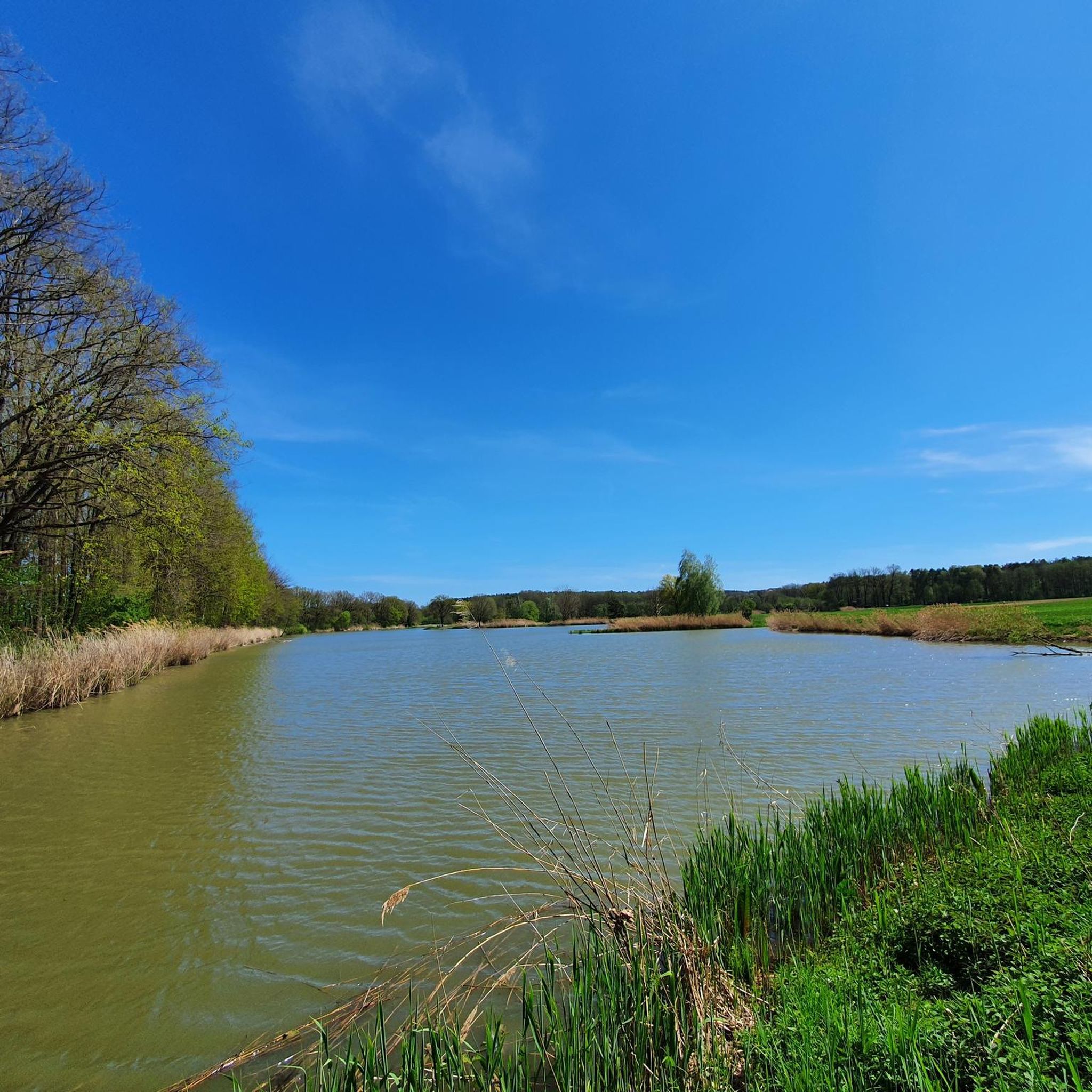
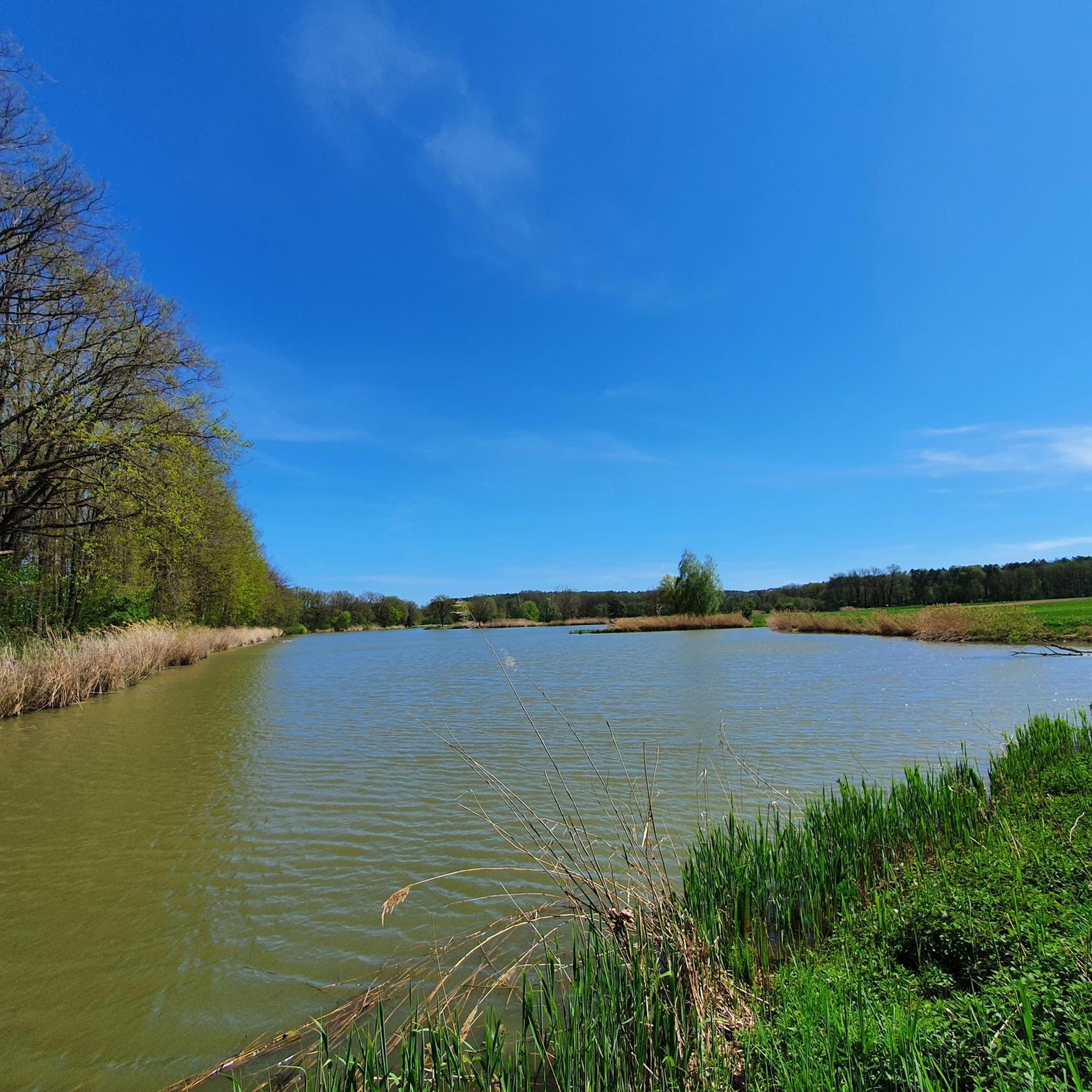
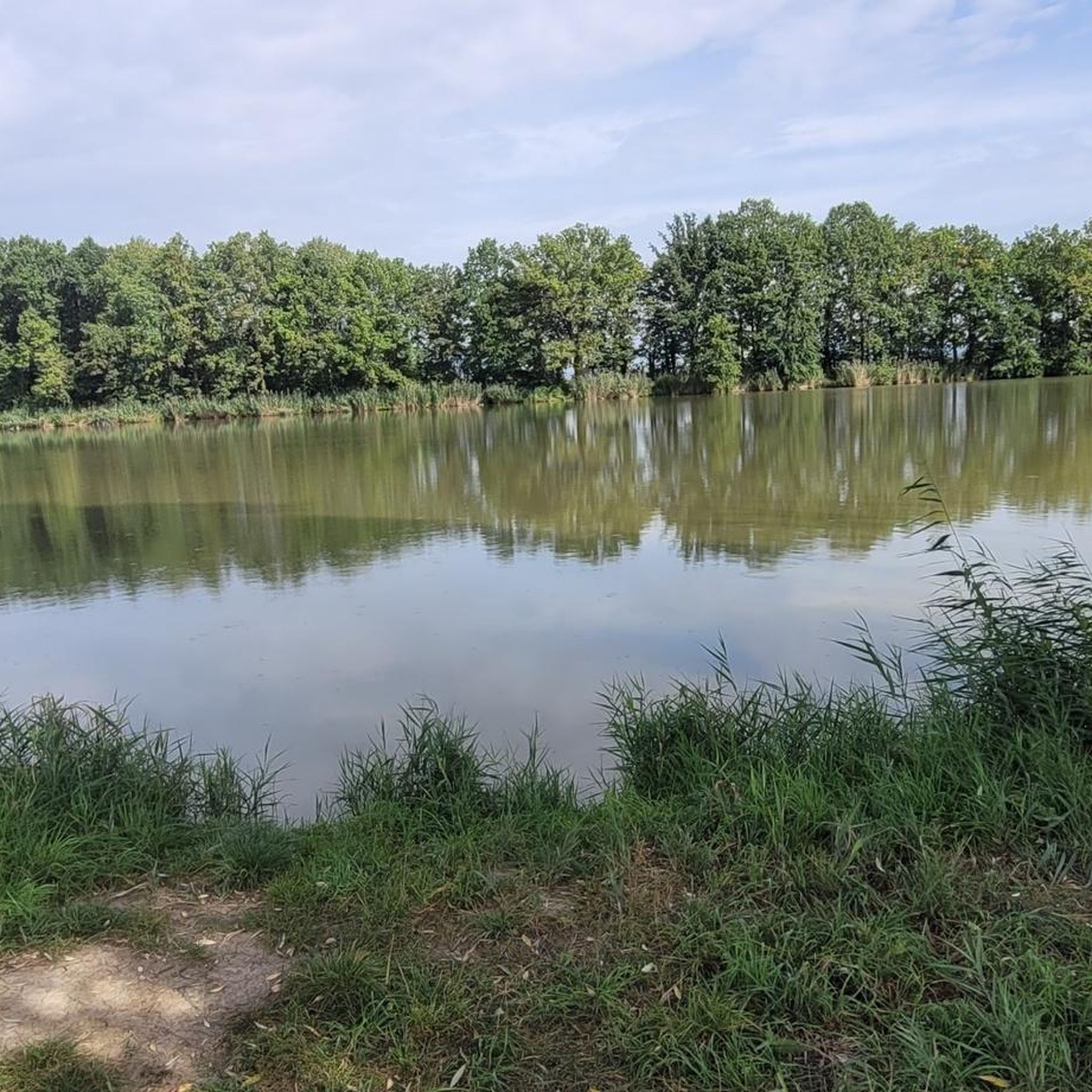
Easily accessible from the path via a wooden walkway with railing. The pavilion offers an elevated view of the large Bishop's Pond.
1
0
The Dechsendorfer Weiher (Großer Bischofsweiher) and the almost equally large Kleiner Bischofsweiher were created in the Middle Ages by the Bamberg bishops as carp ponds. Due to the large water surfaces and the immediate surroundings, both ponds are of great importance for species and biotope protection, especially for water birds. The Dechsendorfer Weiher are a popular destination for those seeking local recreation due to their proximity and closeness to nature. The pond is used as a bathing pond; however, use was restricted by the algae problem. The bathing ban is also announced locally and by clearly visible signs or signs at the bathing area. The fields to the west of the ponds are in the Sandachse Franken nature conservation project and the forest areas of the Markwald directly adjacent to the east are protected forest. The entire area is a landscape conservation area. The Dechsendorfer Weiher was previously flowed through by the Röttenbach. This has now been created as a new Röttenbach over a length of 1.6 km from the intermediate dam inlet area to the downstream area of the Dechsendorfer Weiher. A near-natural watercourse is intended to improve the previously moderate water structure and create new habitats for the ecological diversity of nature. The lack of passability of the Röttenbach was restored. In the new Röttenbach, nutrients, sediments and also fish from the catchment area of the Dechsendorfer Weiher can be diverted around it into the downstream area of the pond. The pond is no longer in the main tributary but in the bypass and can therefore be managed in terms of the quality and quantity of the incoming water. With the targeted planting of aquatic plants, the pond was returned to a plant-dominated state. [ Source: https://erlangen.de/aktuelles/gewaesserschutz-dechsendorfer-weiher ]
0
0

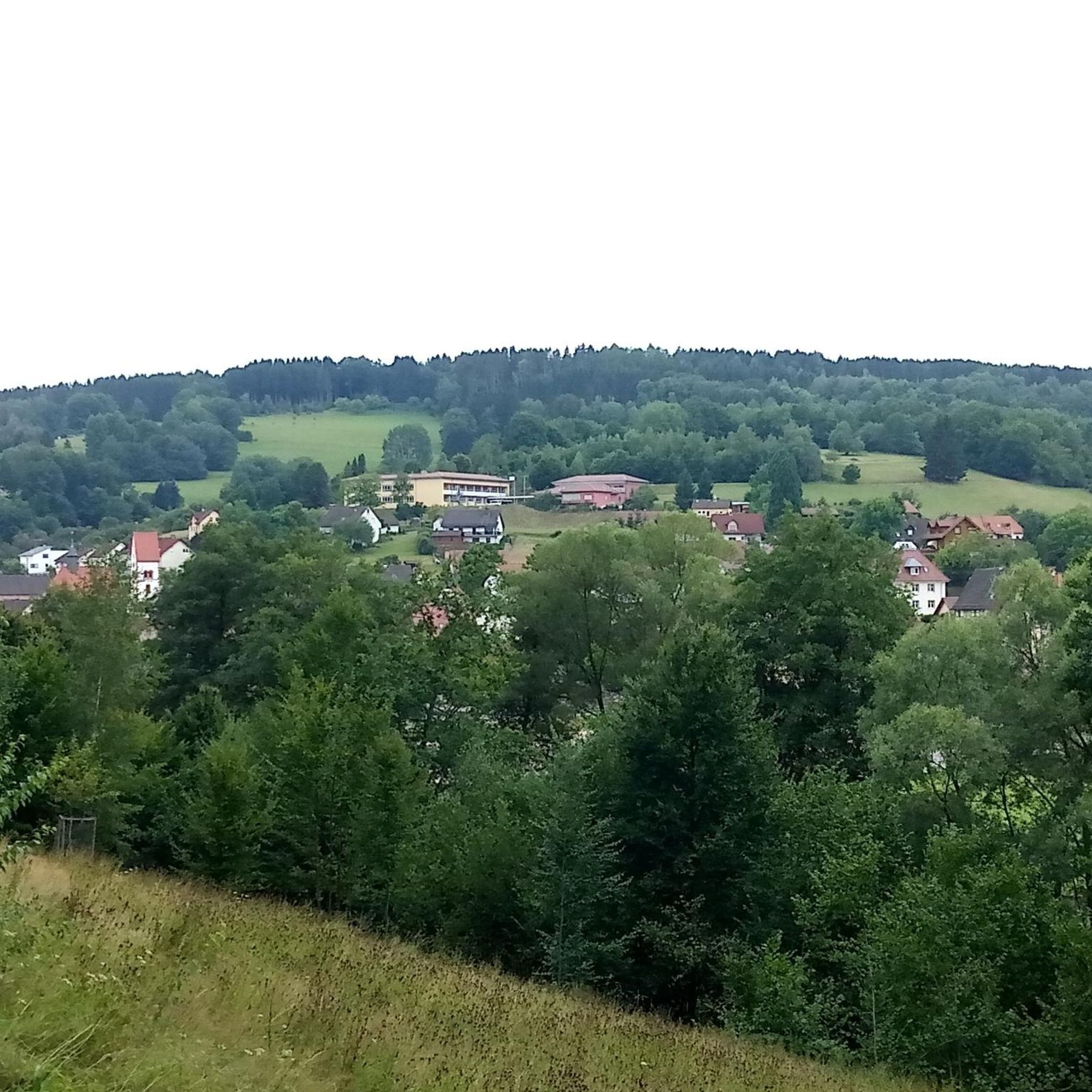
Coming from Schlaifhausen, this is the first great view and a resting place after the climb.
3
1

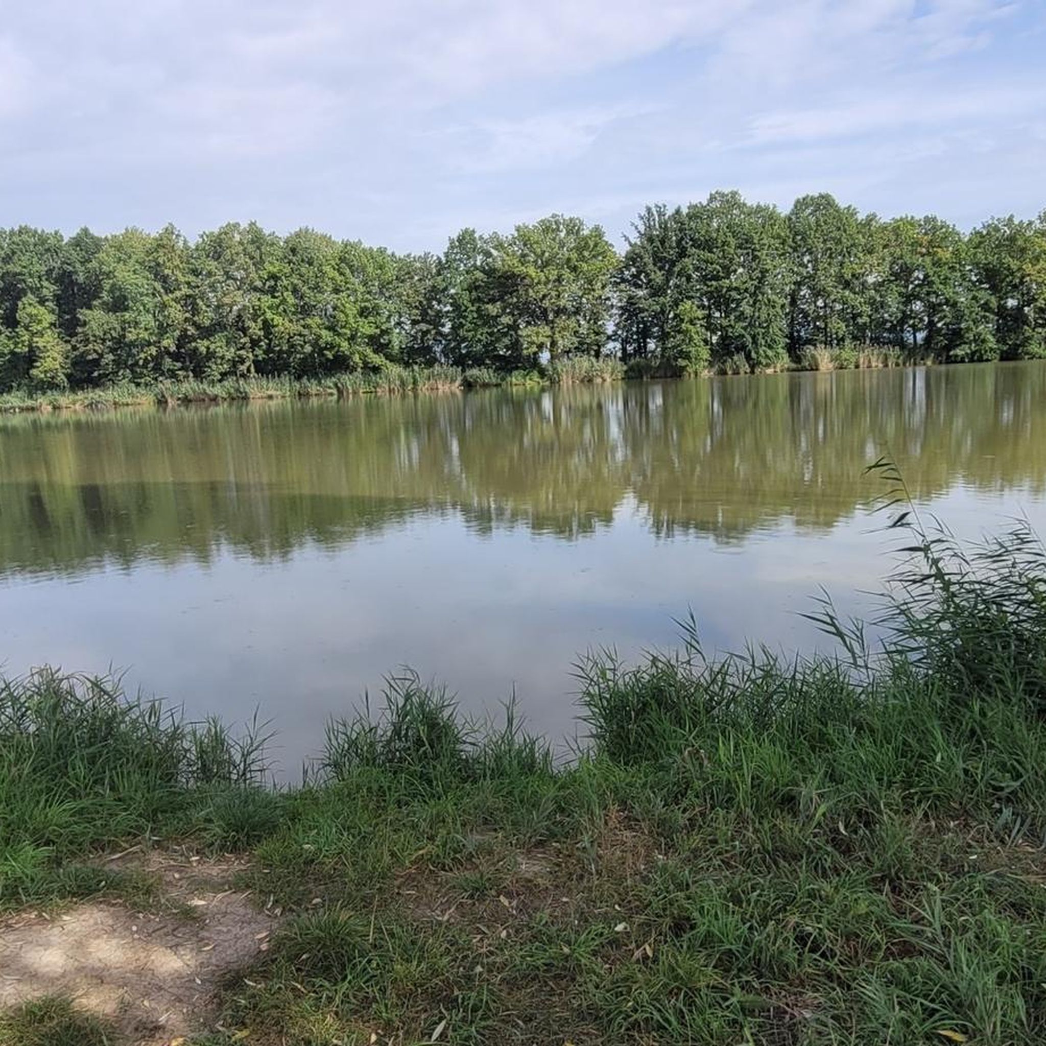
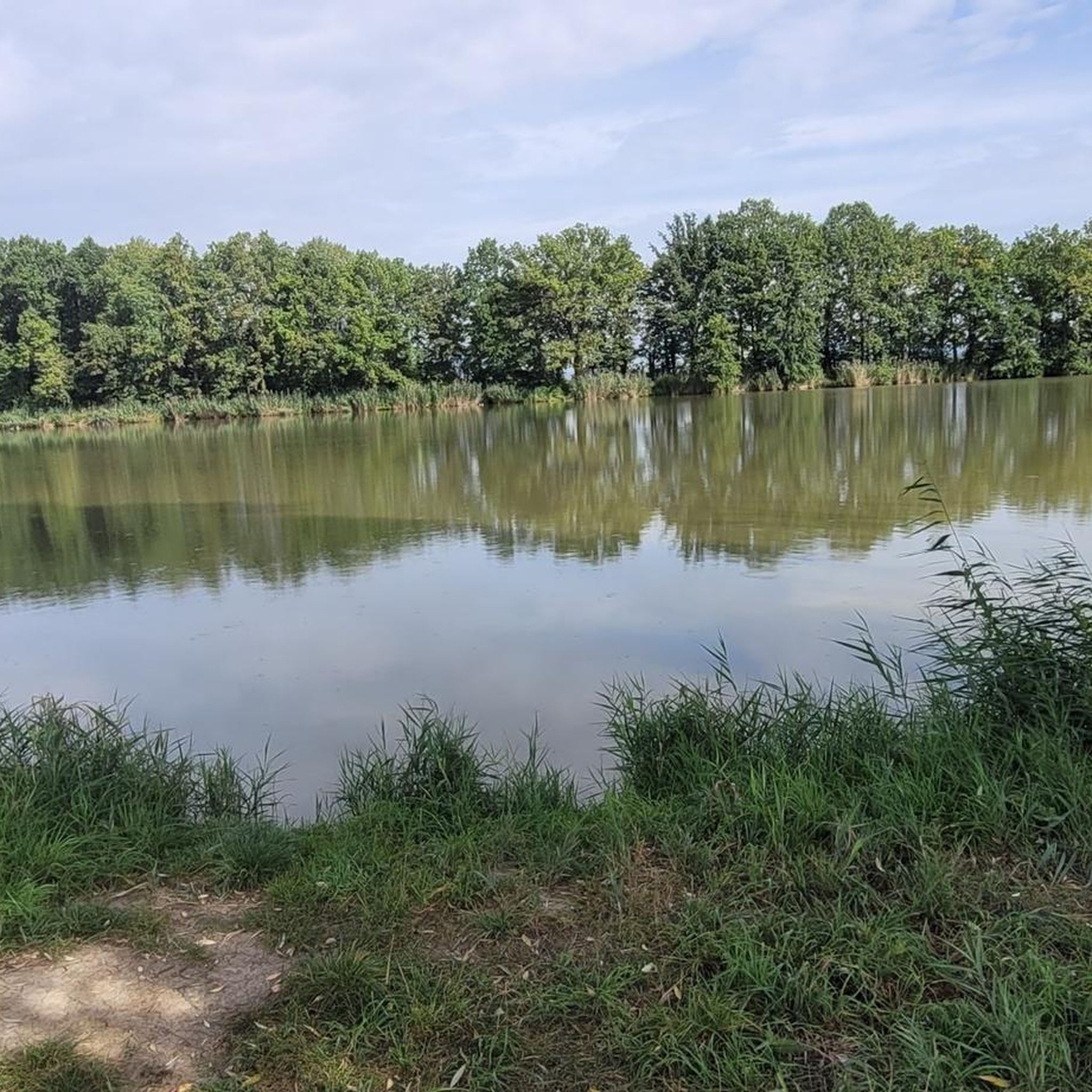
Great for chilling in summer, 2 kiosks, lots of parking spaces towards Möhrendorf, great pizzeria opposite the lake (near the DLRG) with a huge outdoor terrace
0
0
Very beautiful lake with lawns, barbecue areas, 2 kiosks, very good pizzeria, enough parking spaces in the direction of Möhrendorf. Unfortunately, there are a lot of ducks, geese and other water birds that "poop" all over the lawns in the evenings/nights.
0
0

Great view. A beautiful sea of flowers at this time of year.
2
1
Frequently Asked Questions
How many mountaineering routes are available around Langensendelbach?
There are a few dedicated mountaineering routes around Langensendelbach, with komoot currently featuring 2 distinct tours. These routes offer a great way to explore the region's green hills and notable rock formations.
What is the typical difficulty level of mountaineering routes in this area?
The mountaineering routes around Langensendelbach are generally considered easy. For example, the Twin rock formation at Walberla – Cave at the Steinerne Frau loop from Leutenbach is an easy route, as is the Großer Bischofsweiher loop from Dechsendorf. While the terrain includes ascents, they are manageable for most fitness levels, offering a rewarding experience without extreme technical demands.
Are there any family-friendly mountaineering routes in Langensendelbach?
Yes, the routes around Langensendelbach are generally suitable for families due to their easy difficulty. The Großer Bischofsweiher loop from Dechsendorf, for instance, is a gentle 2.3-mile path around a tranquil lake, making it a pleasant option for a family outing. The region's green hills and scenic views provide an enjoyable backdrop for all ages.
What natural features and viewpoints can I expect to see along the routes?
The region is rich in natural beauty, offering impressive viewpoints and unique geological formations. You can expect to see the distinctive twin rock formation at Walberla and the prominent Rodenstein, both providing magnificent panoramic views of the Franconian landscape. The routes also traverse green hills, forests, and may pass by quiet ponds and romantic springs.
Are there any interesting landmarks or attractions near the mountaineering trails?
Yes, the area around Langensendelbach features several interesting highlights. You can explore various caves, such as the Bat cellar on Bierweg or the Walberla Cave. Additionally, there are several huts and shelters like the Shelter or the Old Forester's Hut, which can be points of interest or rest stops.
Are there circular mountaineering routes available?
Yes, several routes are designed as loops, allowing you to start and end at the same point. The Twin rock formation at Walberla – Cave at the Steinerne Frau loop from Leutenbach and the Walberla – Cave at the Steinerne Frau loop from Leutenbach are both excellent examples of circular routes that showcase the area's highlights.
What is the best time of year to go mountaineering in Langensendelbach?
The region is enjoyable throughout the warmer months, typically from spring to autumn. During these seasons, the green hills are vibrant, and the weather is generally favorable for outdoor activities. While specific winter mountaineering routes are not highlighted, the area's natural beauty can be appreciated year-round, with appropriate gear for colder conditions.
What do other mountaineers enjoy most about the routes in Langensendelbach?
Mountaineers often praise the diverse terrain, which includes riverbanks, green hills, and notable rock formations like the Walberla. The accessibility of easy paths combined with options for more challenging ascents makes the area appealing. The scenic views, especially from the Walberla and Rodenstein, are frequently highlighted as rewarding aspects of the tours.
Are permits required for mountaineering in the Langensendelbach area?
Generally, permits are not required for hiking or mountaineering on the established trails around Langensendelbach. However, it's always advisable to respect local regulations, especially concerning nature reserves or private land. There are no specific permit requirements mentioned for the routes in this guide.
Where can I find parking near the mountaineering trails?
While specific parking locations are not detailed for each route, areas popular for outdoor activities like Leutenbach (for Walberla access) and Dechsendorf (for Großer Bischofsweiher) typically offer designated parking facilities for hikers and visitors. It is recommended to check local signage upon arrival.
Are there options for food and drink near the mountaineering routes?
The region around Langensendelbach, being in Bavaria, is known for its hospitality. While specific cafes or pubs directly on the trails are not listed, you can often find restaurants and traditional Bavarian eateries in nearby villages and towns like Leutenbach or Dechsendorf, perfect for a refreshment after your tour.
Can I reach the mountaineering trails using public transport?
Public transport options vary by specific trailhead. Larger towns in the region, such as Erlangen, are well-connected, and local bus services often serve surrounding villages. For routes starting in places like Leutenbach or Dechsendorf, checking local bus schedules from a main transport hub would be the best approach to plan your journey.
Most popular routes around Langensendelbach
Most popular attractions around Langensendelbach

Get inspired with the komoot mobile app


Explore more
Browse the best Mountain Hikes & Routes in other regions.
