The best mountain hikes around Kunreuth
5
hikers
3
hikes
Mountaineering routes around Kunreuth are situated in the gently rolling foothills of the Franconian Jura, characterized by a mosaic of fields, meadows, and forests. The landscape features prominent "White Jurassic outlier mountains" such as the Ehrenbürg (Walberla) and Hetzleser Berg, offering varied terrain for ascents and panoramic views. The region also includes the scenic Trubbach Valley and the unique geological formations of the Lillach Spring with its tufa terraces.
Best mountaineering routes around Kunreuth
- The most popular mountaineering route is…
Last updated: October 8, 2026
3
hikers
5.69km
01:45
210m
210m
Easy mountaineering route. Great for any fitness level. Easily-accessible paths. Suitable for all skill levels.
1
hikers
5.15km
01:30
130m
130m
Easy mountaineering route. Great for any fitness level. Easily-accessible paths. Suitable for all skill levels.

1
hikers
5.39km
01:38
180m
180m
Easy mountaineering route. Great for any fitness level. Easily-accessible paths. Suitable for all skill levels.
Our route recommendations are based on thousands of hikes, rides, and runs completed by other people on komoot.
Start today with a free account
Your next adventure awaits.
Tips from the Community

Fascinating rock formations at the Franconian landmark Walberla.
1
0

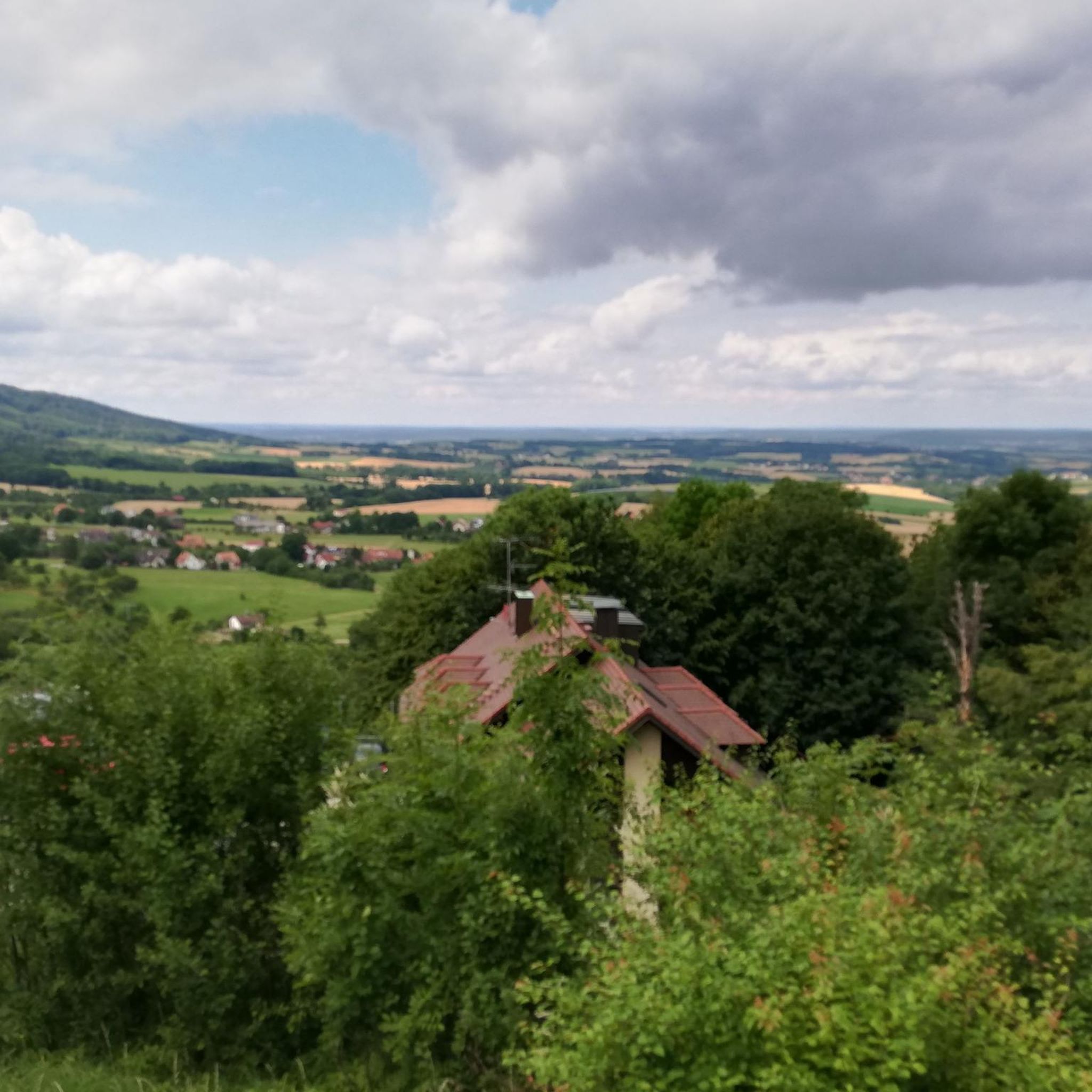
In my opinion the best path Connection Leutenbach and St. Moritz - mostly hidden in the woods with a few nice views on the Leutenbach valley and beyond
0
0

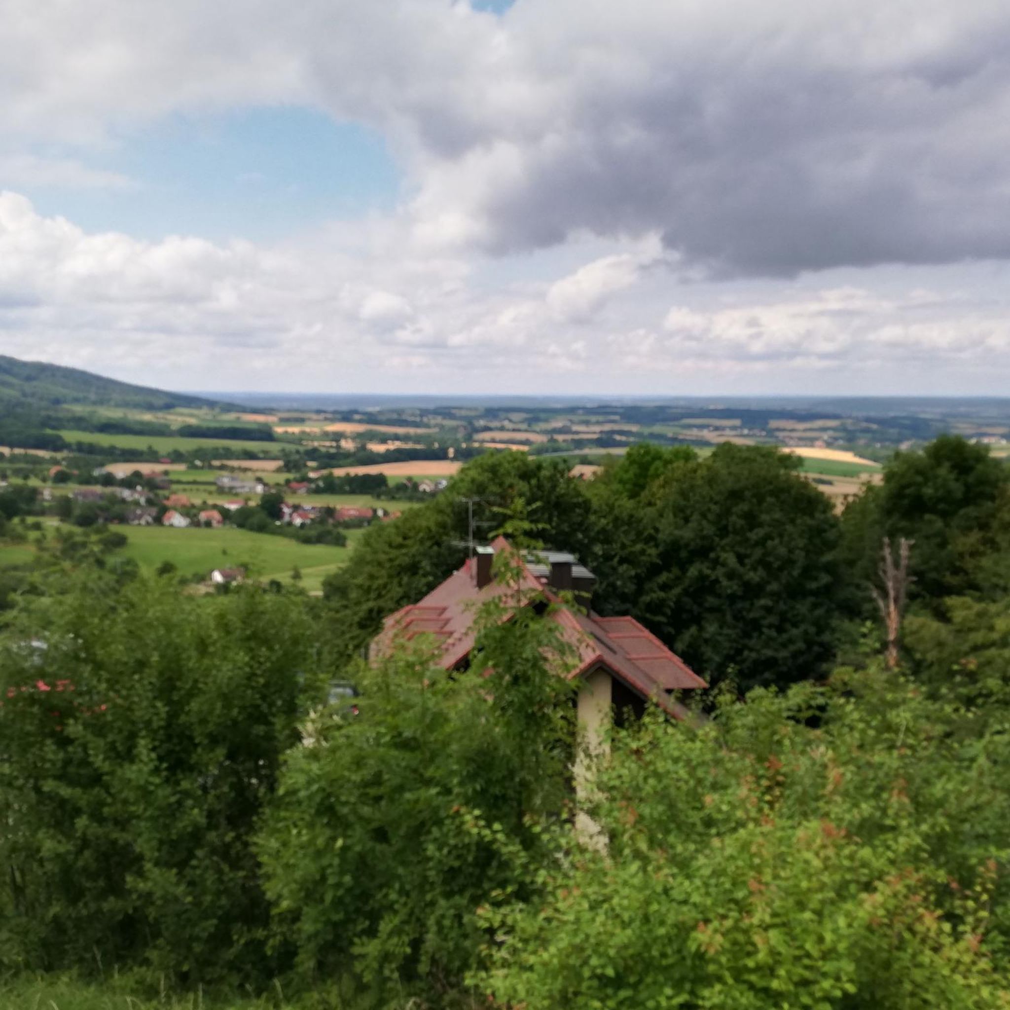
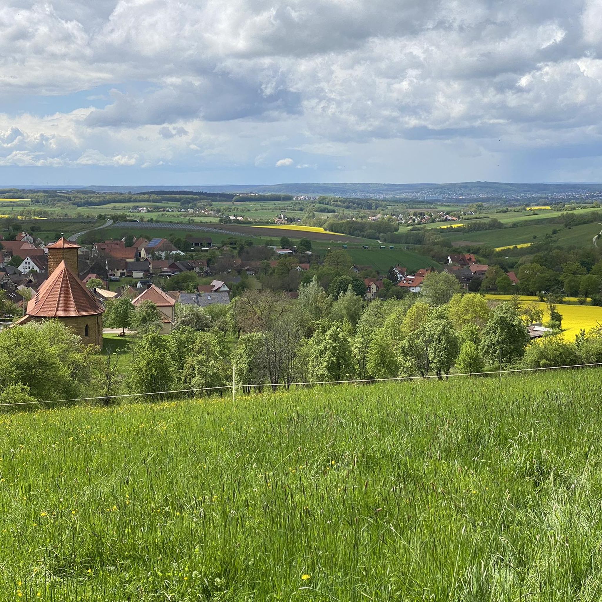
Coming from Schlaifhausen, this is the first great view and a resting place after the climb.
3
1

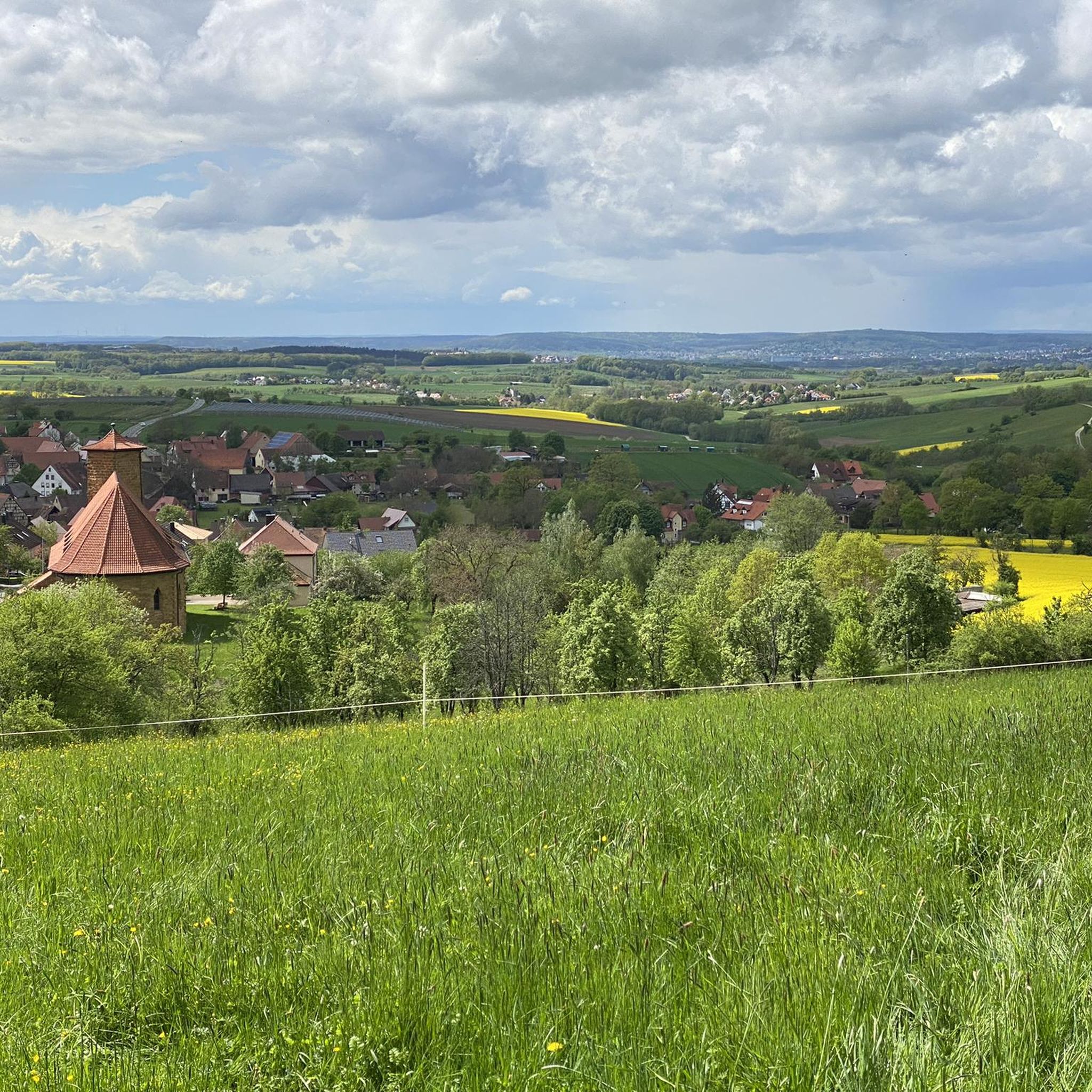
Great view. A beautiful sea of flowers at this time of year.
2
1

View of the well-known rock formation at Walberla, which is also visible from afar below
0
0

The footpath to the rocky outcrop cannot be overlooked
6
1

Stone woman, well I would say it's a fat sleeping witch 😂
6
4
Frequently Asked Questions
How many mountaineering routes are available around Kunreuth?
There are 5 distinct mountaineering routes around Kunreuth, offering a variety of experiences from easy strolls to more challenging ascents through the Franconian Jura foothills.
Are there any family-friendly mountaineering routes in Kunreuth?
Yes, several routes are suitable for families. An easy option is the Twin rock formation at Walberla – Cave at the Steinerne Frau loop from Leutenbach, which is 3.5 miles (5.7 km) long and explores the iconic Walberla area. Another easy route is the Walberla – Cave at the Steinerne Frau loop from Leutenbach, also around 3.3 miles (5.4 km), offering similar scenic views.
Can I find circular mountaineering routes in the area?
Absolutely. All the mountaineering routes listed for Kunreuth are circular, allowing you to start and end at the same point. For example, the Community Weißenohe – Gräfenberg Old Town loop from Weißenohe is a moderate 10.0 miles (16.2 km) circular path, and the Lillach Spring – Three Peaks of Großenohe loop from Gräfenberg is a challenging 12.0 miles (19.3 km) circular route.
Are there any routes that feature natural attractions like springs or unique geological formations?
Yes, the region is known for its geological features. The Lillach Spring – Three Peaks of Großenohe loop from Gräfenberg takes you directly through the unique Lillach Spring area, famous for its impressive tufa terraces. You can also explore the Affalterbach Spring, which is a notable natural monument in the area.
What are some interesting landmarks or points of interest I can see along the routes?
The routes often pass by significant landmarks. The prominent Ehrenbürg, locally known as Walberla, is a key feature, offering magnificent views. You might also encounter the Michelsberg War Memorial or the Ball game natural monument. For those interested in gorges, the Todsfeld valley and Indian Gorge are nearby.
What is the best time of year for mountaineering in Kunreuth?
The Franconian Jura foothills, with their mosaic of fields, meadows, and forests, are beautiful throughout the warmer months. Spring and autumn offer pleasant temperatures and vibrant scenery, while summer provides longer daylight hours. The region's diverse terrain makes it enjoyable across seasons, though specific conditions might vary.
Are there options for both beginner and advanced mountaineers?
Yes, Kunreuth offers routes for various skill levels. There are 3 easy routes, such as the Moritz Spring – Kapuzinerfelsen Viewpoint loop from Leutenbach. For those seeking a greater challenge, the Lillach Spring – Three Peaks of Großenohe loop from Gräfenberg is classified as difficult, covering 12.0 miles (19.3 km) with significant elevation changes.
What do other mountaineers enjoy most about the routes in Kunreuth?
The routes in Kunreuth are highly rated by the komoot community, with an average score of 4.0 stars. Mountaineers often praise the varied terrain, from the gently rolling foothills to the prominent 'White Jurassic outlier mountains' like Walberla, and the unique geological features such as the Lillach Spring.
Are there any cafes or pubs near the mountaineering trails for refreshments?
While specific cafes directly on the trails are not detailed, the region's integration into the Trubbach Valley and proximity to towns like Gräfenberg and Weißenohe suggest that you will find opportunities for refreshments. The area also has several huts and shelters, such as the Fränkische Schweiz Verein Hut Leutenbach, which might offer basic provisions or a place to rest.
Is there parking available at the trailheads?
While specific parking details for each trailhead are not provided, routes typically start from villages or accessible points like Leutenbach, Weißenohe, or Gräfenberg. It is generally advisable to check local signage or use navigation apps for designated parking areas near the starting points of your chosen route.
What kind of equipment is recommended for mountaineering in Kunreuth?
For the varied terrain around Kunreuth, sturdy hiking boots with good ankle support are recommended. Depending on the route's difficulty and length, consider bringing water, snacks, appropriate weather-dependent clothing, and a map or GPS device. While technical mountaineering gear is not typically required for these routes, poles can be helpful on steeper sections.
Can I bring my dog on the mountaineering trails?
Many trails in the Franconian Jura are dog-friendly, but it's always best to check local regulations or specific route details before heading out. Generally, dogs should be kept on a leash, especially in areas with wildlife or near agricultural land, and you should always carry bags to clean up after your pet.
Most popular routes around Kunreuth
Most popular attractions around Kunreuth

Get inspired with the komoot mobile app


Explore more
Browse the best Mountain Hikes & Routes in other regions.
