The best mountain hikes in Oberbergischer Kreis
4.5
(6)
12
hikers
7
hikes
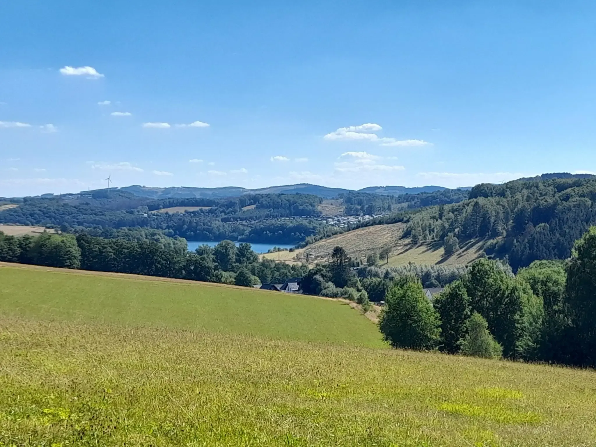
Mountaineering routes in Oberbergischer Kreis traverse a diverse landscape characterized by rolling hills, extensive forests, and numerous river valleys. The region's topography offers varied elevations, providing challenging and scenic experiences for strenuous hiking. Key natural features include a multitude of dams and reservoirs, which create unique water landscapes and offer picturesque paths.
Best mountaineering routes in Oberbergischer Kreis
- The most popular mountaineering route is Rheinbachteiche – Hahnerberg loop from Gelpe-Saalbach, a 14.8 miles (23.8 km) trail that takes 7…
Last updated: August 29, 2026
5.0
(2)
2
hikers
Hard mountaineering route. Very good fitness required. Easily-accessible paths. Suitable for all skill levels.
5.0
(1)
1
hikers
Hard mountaineering route. Very good fitness required. Mostly accessible paths. Sure-footedness required.

Sign up for free
4
hikers
18.3km
05:15
430m
430m
Hard mountaineering route. Very good fitness required. Easily-accessible paths. Suitable for all skill levels.
3.0
(2)
3
hikers
Moderate mountaineering route. Good fitness required. Easily-accessible paths. Suitable for all skill levels.
5.0
(1)
2
hikers
Easy mountaineering route. Great for any fitness level. Easily-accessible paths. Suitable for all skill levels.
1
hikers
Moderate mountaineering route. Good fitness required. Easily-accessible paths. Suitable for all skill levels.
1
hikers
14.4km
03:58
250m
250m
Moderate mountaineering route. Good fitness required. Easily-accessible paths. Suitable for all skill levels.
5.0
(1)
1
hikers
Moderate mountaineering route. Good fitness required. Easily-accessible paths. Suitable for all skill levels.
Moderate mountaineering route. Good fitness required. Mostly accessible paths. Sure-footedness required.
Our route recommendations are based on thousands of hikes, rides, and runs completed by other people on komoot.
Start today with a free account
Your next adventure awaits.
Login or Signup
Popular around Oberbergischer Kreis
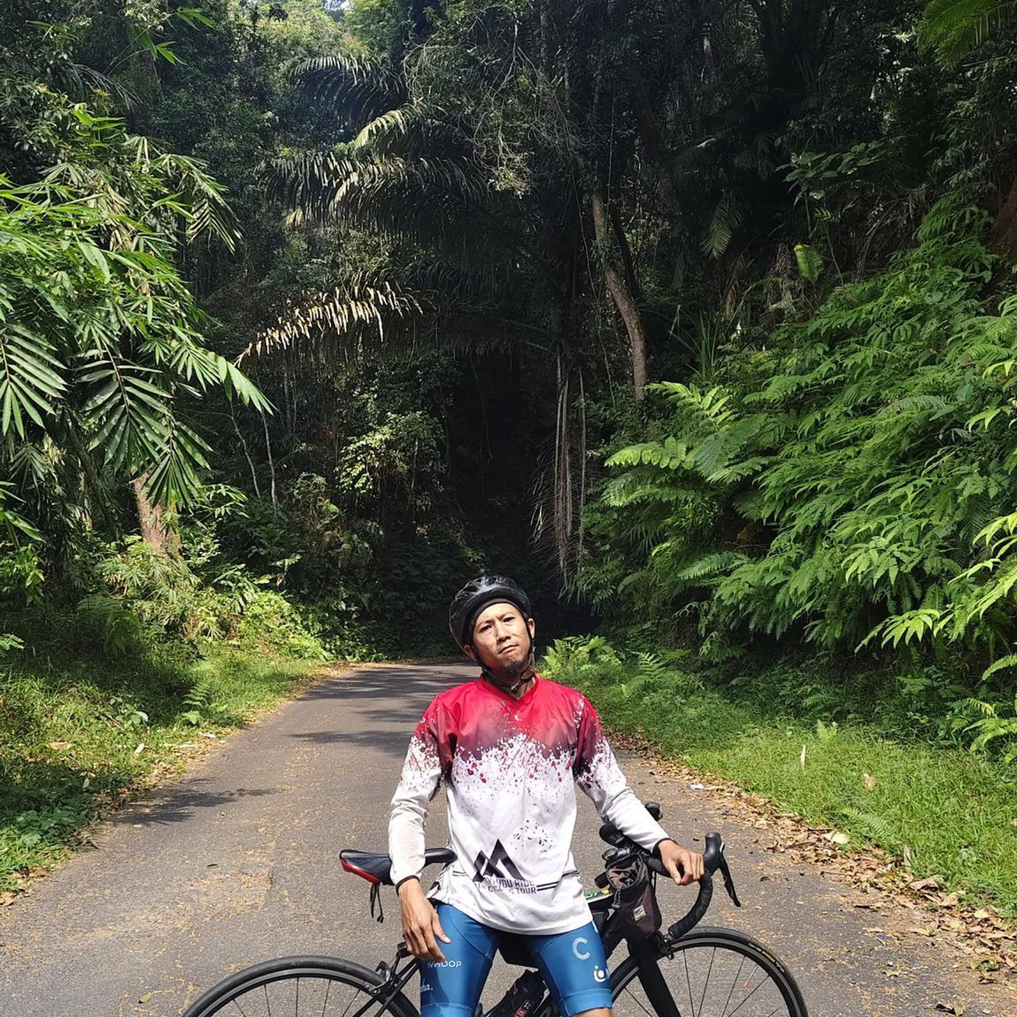
Mountain Hikes around Radevormwald
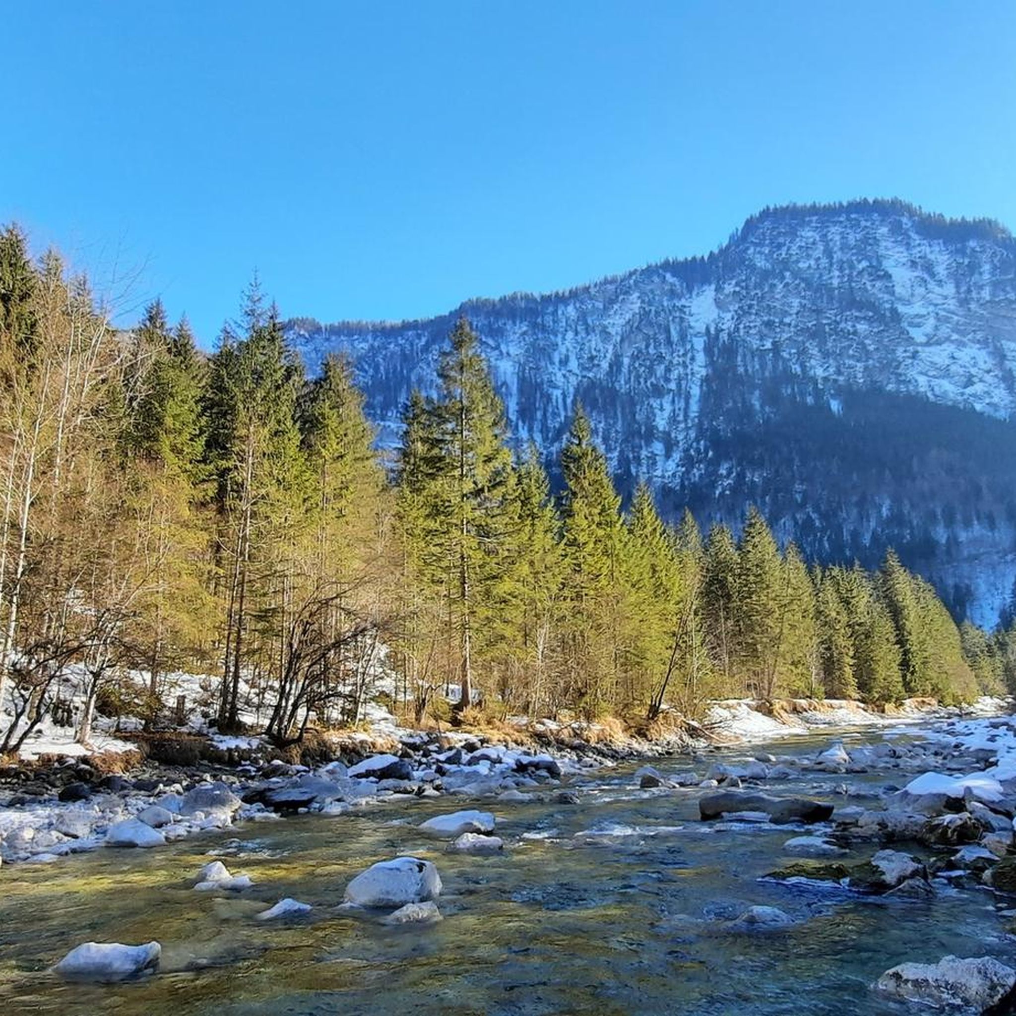
Mountain Hikes around Hückeswagen
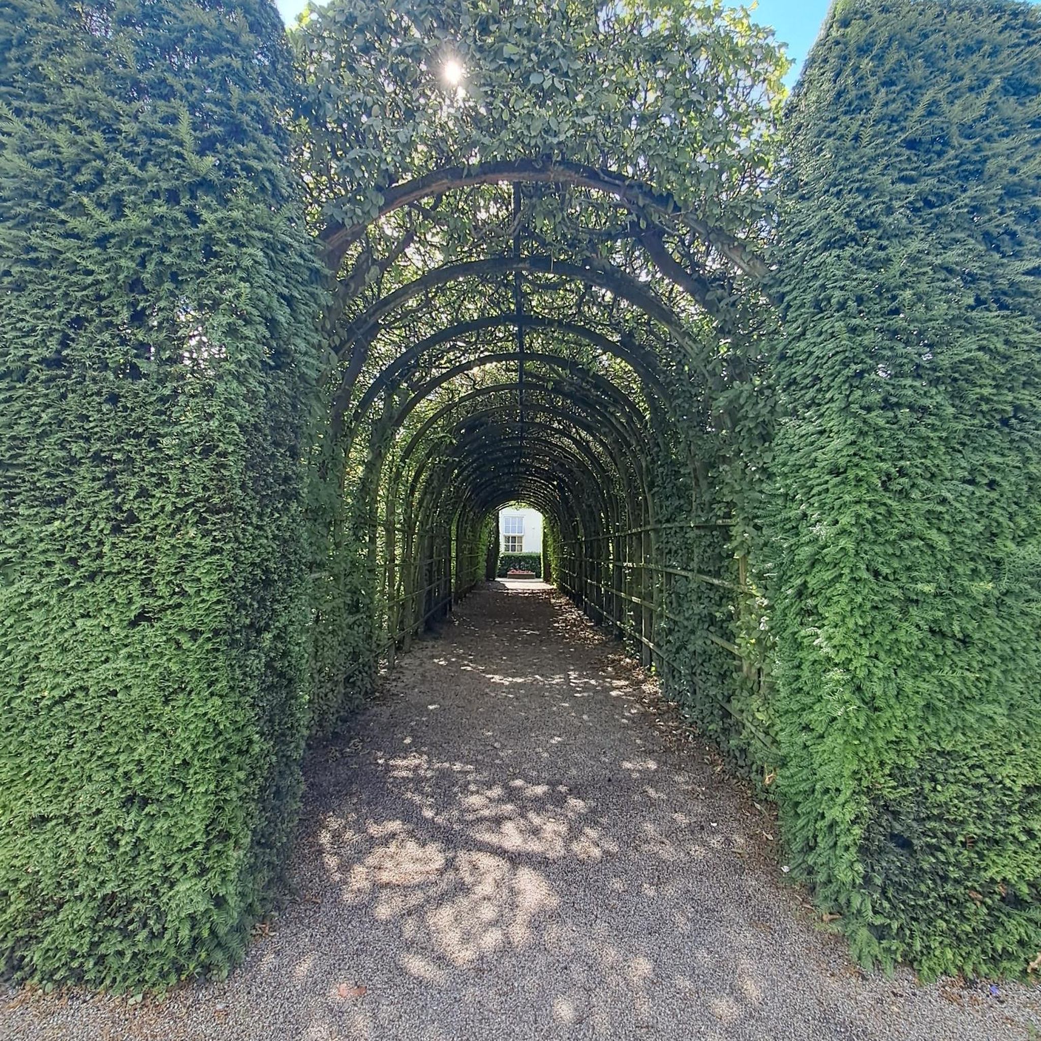
Mountain Hikes around Lindlar
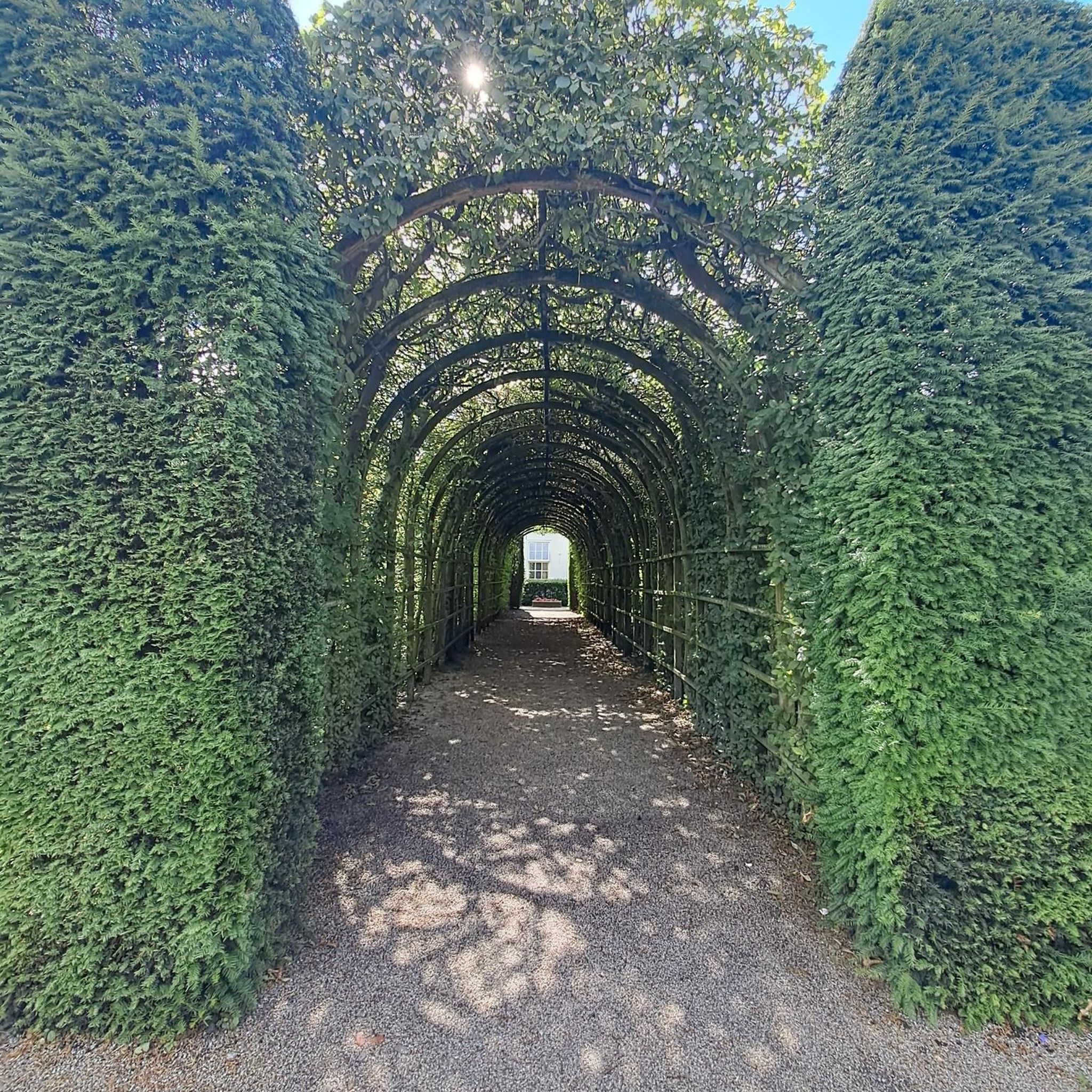
Mountain Hikes around Wipperfürth
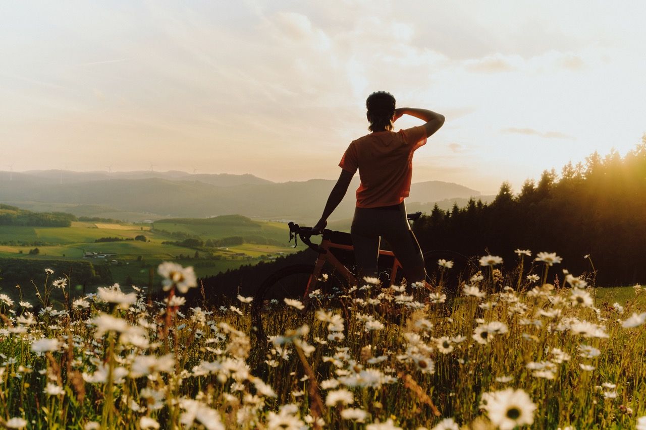
Discover NRW on a gravel bike
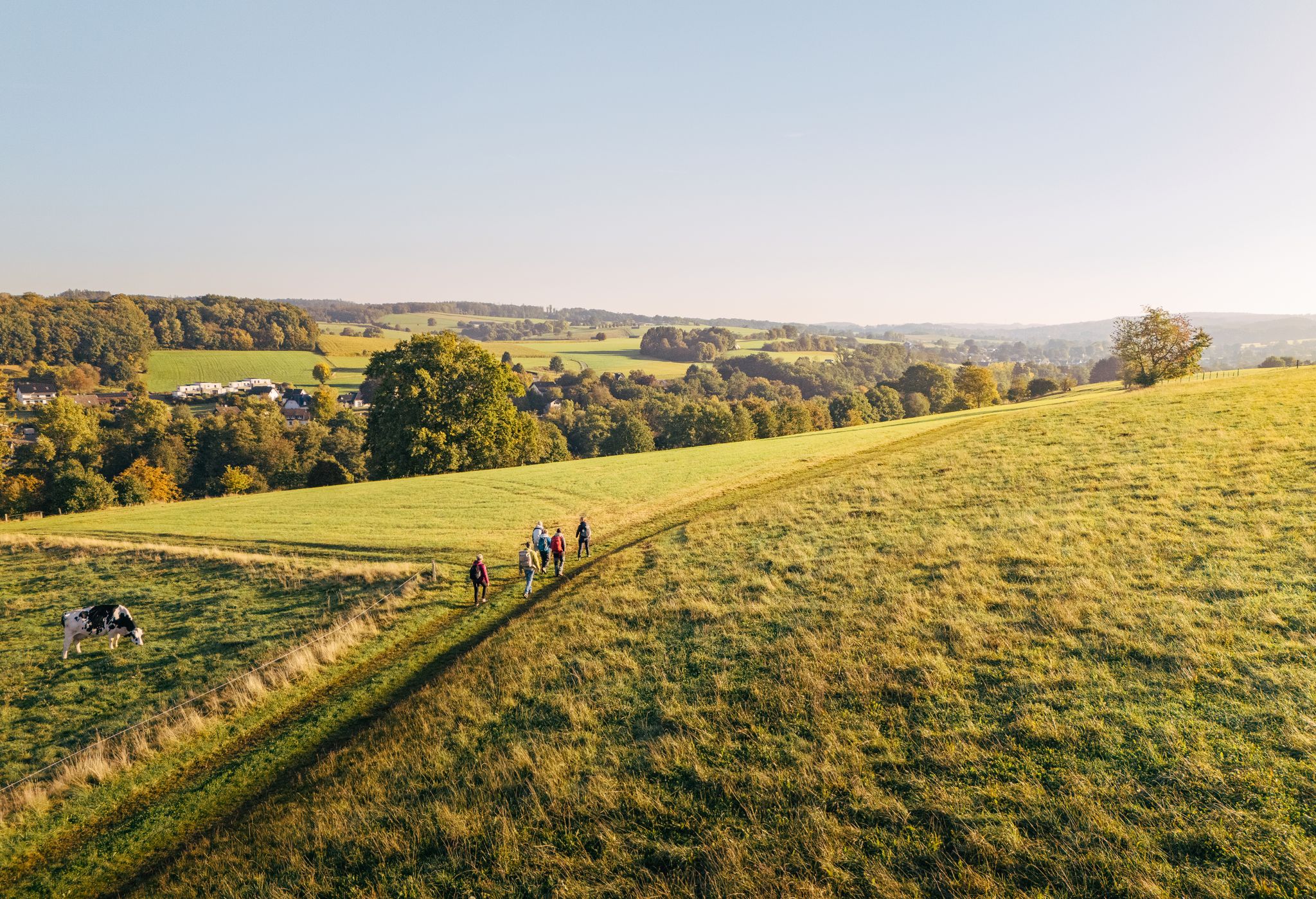
"Wunderschön" through the Bergisches Land – on the trail of the WDR show
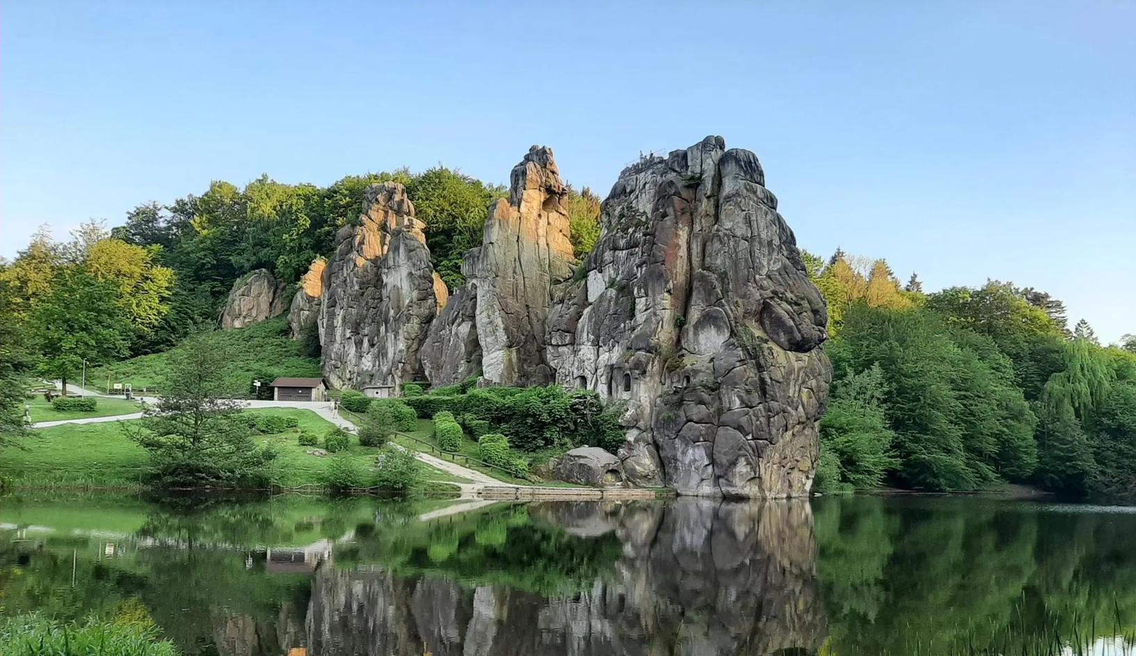
The National Natural Landscapes in Nordrhein-Westfalen
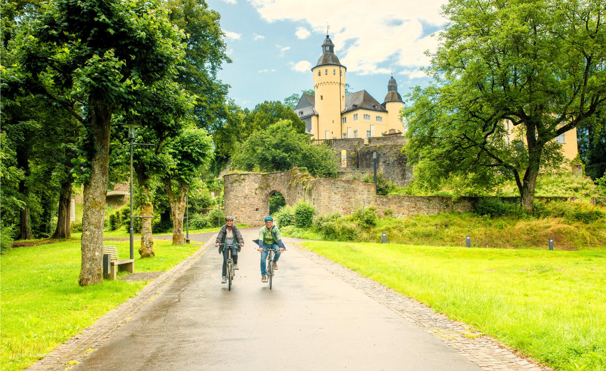
To palaces and castles - rides in the Rheinland cycling region
The big D: forest paths and water views in southern Sauerland
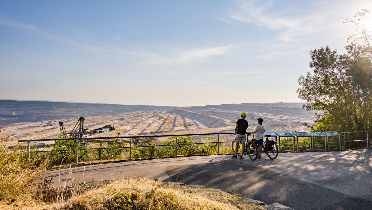
Marvellous views and varied scenery – cycling in the Rhineland
Other adventures in Oberbergischer Kreis


Tips from the Community

The Kleine Dhünn reservoir is a beautiful pre-dam of the Große Dhünntalsperre. The Kleine Dhünn is a reservoir built in the 1960s to support the Große Dhünntalsperre. It filters suspended solids from the water, thus ensuring clean drinking water in the region. 💧✨
0
0
The fore-reservoir is surrounded by dense forests and meadows that are reflected in the water. There is a dreamlike tranquility here – perfect for escaping everyday stress and enjoying nature. 🦆🌳
0
0

Opposite the entrance, there are lockers, and each locker has a power outlet. The keys for the lockers can be obtained at the checkout for a deposit of €10. Therefore, please note the opening hours!
0
0

The Sülz River flows powerfully through Hoffnungsthal. This tributary of the Agger, approximately 25 kilometers long, significantly shapes not only the townscape but also the surrounding landscape. Densely vegetated banks and open green spaces line the river. During heavy rainfall, the Sülz often swells rapidly, flooding the areas it surrounds.
1
0


Interesting what the Komoot AI does with highlight names. I think this river in the Bergisches Land is called the Wupper... 🤔
0
0

The dam is largely closed, but you might be lucky enough to see the resident eagle flying here.
1
0

simply to enjoy
0
0
Frequently Asked Questions
What kind of terrain can I expect on mountaineering routes in Oberbergischer Kreis?
The Oberbergischer Kreis is characterized by its diverse, hilly topography, extensive forests, and numerous river valleys. You'll encounter rolling hills, deep woodlands, and picturesque dam landscapes. While not high-alpine, many routes involve significant elevation gain, offering challenging and scenic experiences.
Are there any easy mountaineering routes suitable for beginners?
Yes, there are routes suitable for various fitness levels. For a relatively easy option, consider the Hasper Dam – View of the Hasper Reservoir loop from Hasper Bachtal. This route is about 5 km long with moderate elevation changes, making it a good introduction to the region's trails.
What are some challenging mountaineering routes in the region?
For those seeking a more strenuous experience, the Rheinbachteiche – Hahnerberg loop from Gelpe-Saalbach is a difficult 23.8 km trail featuring challenging climbs and panoramic views. Another demanding option is the Hagen Bismarck Tower – Kaiser Friedrich Tower loop from Waldbauer / Zurstraße, which covers 23.4 km through varied forest paths with expansive vistas.
Can I find circular mountaineering routes in Oberbergischer Kreis?
Absolutely. Many of the mountaineering routes in Oberbergischer Kreis are designed as loops, allowing you to start and end at the same point. For example, the Sengbach Reservoir – Burg Castle loop from Burg offers a scenic 18.3 km circular journey.
Are there any routes that pass by dams or reservoirs?
The region is famous for its many dams and reservoirs. You can explore routes like the View of the Dhünn Reservoir – Große Dhünn Reservoir loop from Kürten, which offers beautiful views of the water landscape. Another option is the View near Boßel – View of the Ennepetal Dam loop from Glörtalsperre.
What kind of natural attractions or landmarks can I see along the routes?
Oberbergischer Kreis offers a variety of natural and historical sights. You might encounter picturesque waterfalls like the Uelfebach Waterfall or the Kaltenbach Waterfall. Some routes, such as the Franziska Shaft Headframe – View from Lüderich loop from Hoffnungsthal, also pass by interesting historical sites or viewpoints.
What do other mountaineers say about the routes in Oberbergischer Kreis?
The routes in Oberbergischer Kreis are highly rated by the komoot community, with an average score of 4.6 stars from over 7 reviews. Mountaineers often praise the varied terrain, the beauty of the dam landscapes, and the challenging yet rewarding ascents through the region's extensive forests.
Are there any long-distance trails that pass through Oberbergischer Kreis?
Yes, the region is home to parts of the Bergischer Panoramasteig, a long-distance circular hiking trail stretching approximately 244 kilometers through the Bergisches Land Nature Park. It combines panoramic views with numerous water landscapes and is suitable for multi-day treks.
Is Oberbergischer Kreis suitable for family-friendly mountaineering?
While many routes offer significant elevation, there are also easier trails that families can enjoy. The region's diverse landscape means you can find paths through forests and along reservoirs that are less strenuous. Always check the difficulty rating and distance of a specific route to ensure it's suitable for your family's fitness level.
Can I bring my dog on the mountaineering routes?
Generally, dogs are welcome on hiking trails in Oberbergischer Kreis. However, it's always advisable to keep your dog on a leash, especially in nature reserves, near livestock, or in crowded areas. Be sure to check local regulations for specific trails or protected areas you plan to visit.
What is the best season for mountaineering in Oberbergischer Kreis?
The diverse landscape of Oberbergischer Kreis is appealing year-round. Spring brings lush greenery and blooming wildflowers, while autumn offers vibrant foliage. Summer is ideal for longer days and warmer temperatures, and even winter can be beautiful with snow-covered meadows, though some paths might be more challenging due to ice or snow.
Are there any routes that offer views of historic castles?
Yes, you can combine your mountaineering experience with a visit to historical sites. The Schloss Burg – Fluchtburg Heidenkeller loop from Burg takes you through the scenic surroundings of historic Burg Castle, offering both natural beauty and cultural interest.
Most popular routes in Oberbergischer Kreis
Most popular attractions in Oberbergischer Kreis

Get inspired with the komoot mobile app


Didn’t find what you were looking for?
Check out more Mountain Hikes & Routes throughout Oberbergischer Kreis below and find the perfect route in your destination.
Explore more
Browse the best Mountain Hikes & Routes in other regions.
