The best walks and hikes in San Jacinto Amilpas
3.6
(22)
116
hikers
11
hikes
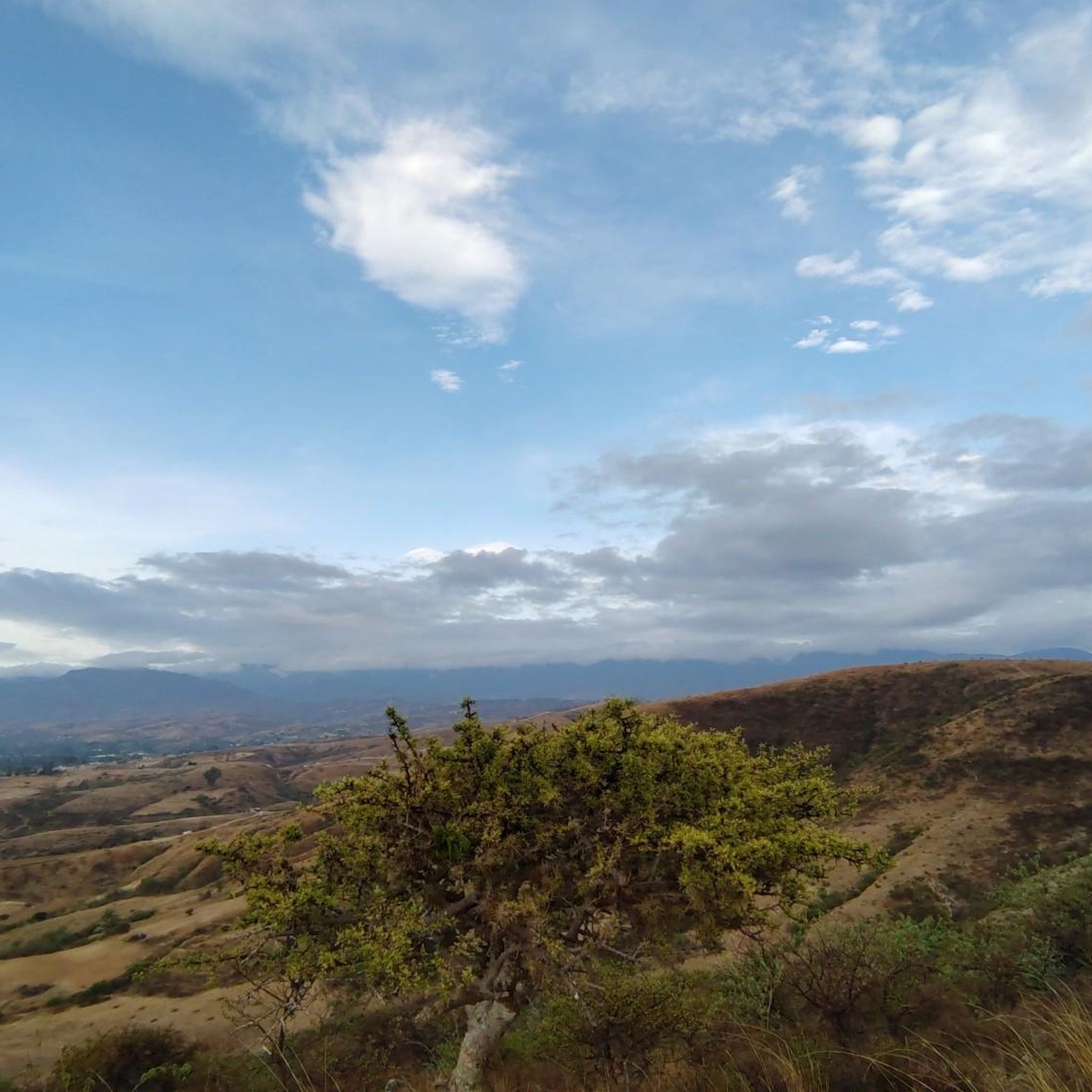
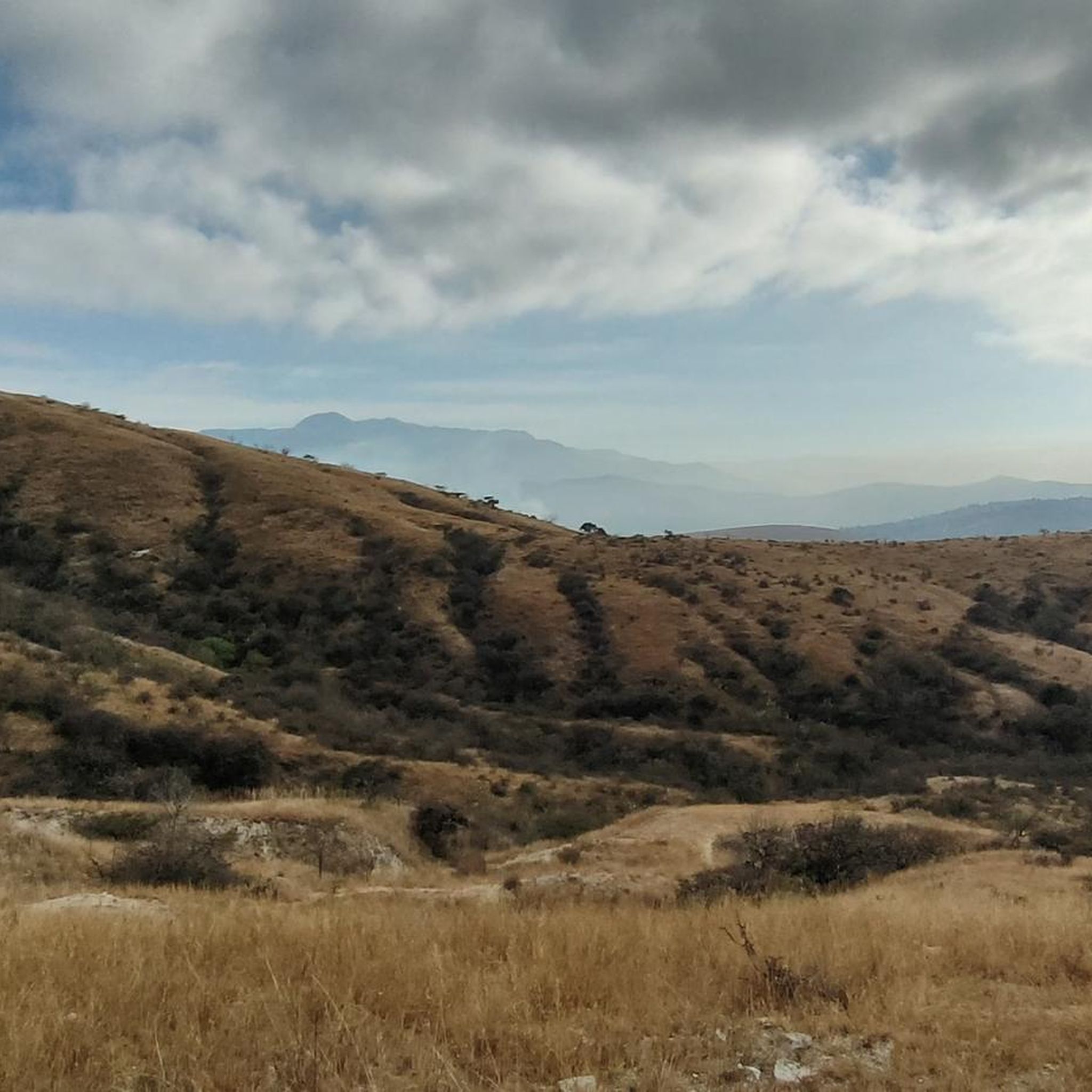
Hiking in San Jacinto Amilpas offers access to the diverse landscapes of the Oaxaca Valley and the Sierra Norte mountains in Oaxaca, Mexico. The region features varied terrain, including rolling countryside, agave fields, and dense forests. Its location near Oaxaca City provides a gateway to both urban trails and more rugged mountain paths, characterized by significant elevation changes and rich biodiversity.
Best hiking trails in San Jacinto Amilpas
- The most popular hiking route is El Mirador Viewpoint of Oaxaca – Steps to Cerro del Fortín loop from Oaxaca City, a 5.9 miles (9.5 km) trail that takes 2 hours 48 minutes to complete. This moderate route offers views over Oaxaca City and passes by Cerro del Fortín.
- Another top favourite among local hikers is Mercado 20 de Noviembre – Monte Albán Pyramids loop from Oaxaca City, a moderate 10.2 miles (16.4 km) path. This trail connects urban market areas with the ancient Monte Albán Pyramids.
- Local hikers also love the Oaxaca Cathedral – Zócalo de Oaxaca loop from Oaxaca City, a 3.5 miles (5.6 km) trail leading through key urban landmarks, often completed in about 1 hour 26 minutes.
- Hiking in San Jacinto Amilpas is defined by urban paths, rolling countryside, and access to pine and oak forests of the Sierra Norte. The network offers options for easy walks through city centers to more challenging mountain treks.
- The routes in San Jacinto Amilpas are highly rated by the komoot community with an average score of 3.9 stars from over 10 reviews. More than 100 hikers have used komoot to explore San Jacinto Amilpas's varied terrain.
Last updated: July 12, 2026
4.1
(7)
18
hikers
Moderate hike. Good fitness required. Mostly accessible paths. Sure-footedness required.
4.3
(6)
13
hikers
16.4km
04:48
420m
420m
Moderate hike. Good fitness required. Easily-accessible paths. Suitable for all skill levels.

Sign up for free
3.8
(4)
29
hikers
5.66km
01:27
30m
30m
Easy hike. Great for any fitness level. Easily-accessible paths. Suitable for all skill levels.
3.0
(1)
9
hikers
Moderate hike. Good fitness required. Mostly accessible paths. Sure-footedness required.
7
hikers
1.53km
00:24
10m
10m
Easy hike. Great for any fitness level. Easily-accessible paths. Suitable for all skill levels.
1
hikers
Easy hike. Great for any fitness level. Easily-accessible paths. Suitable for all skill levels.
Get access to more routes and recommendations from other explorers.
Sign up for free
Already have an account?
Our route recommendations are based on thousands of hikes, rides, and runs completed by other people on komoot.
Start today with a free account
Your next adventure awaits.
Login or Signup

Tips from the Community

Restaurant awarded a Michelin star - food highly recommended, excellent service, acceptable prices
0
0

Very interesting garden, the history of which is presented in a one-hour guided tour.
0
0
The most famous historical site in Oaxaca, well maintained and preserved. The guided tour is recommended to gain a deeper insight into the history.
0
0

Room used to play the traditional ball game of the Zapotecs
0
0

A beautiful district of Oaxaca that captivates with its charm, flair and chilled atmosphere. The murals that run through the entire district are magnificent! There are also numerous cafes where you can relax.
0
0
The steps take you to Oaxaca's local mountain, Cerro del Fortín, just outside the center. From the top you are rewarded with a magnificent view of Oaxaca. However, you should not go up in the dark.
0
0
The market hall, which is not far from the Zócalo, is definitely worth a visit. Mexican life is in full swing here. You can get everything from souvenirs and clothing to bread, juices, fruit, coffee, meat and prepared meals.
0
0
The monumental exhibition of the sculpture group "Los Gigantes" by the Oaxacan plastic artist Alberto Aragón Reyes is located on one side of the Catedral Metropolitana in the Alameda de León and will be on display until December 1, 2024.
0
0
Frequently Asked Questions
How many hiking trails are available near San Jacinto Amilpas?
The region around San Jacinto Amilpas offers a diverse selection of hiking routes. There are over 10 trails documented on komoot, ranging from easy urban walks to more challenging mountain treks in the nearby Sierra Norte.
What kind of terrain can I expect on hikes around San Jacinto Amilpas?
You can expect a varied terrain. Hikes directly accessible from San Jacinto Amilpas often feature urban paths and rolling countryside. Further afield, in the Sierra Norte mountains, you'll find diverse ecosystems including lush cloud forests, pine, and oak forests with significant elevation changes.
Are there any easy hiking trails suitable for beginners or families?
Yes, there are several easy options. For a leisurely walk through key urban landmarks, consider the Oaxaca Cathedral – Zócalo de Oaxaca loop from Oaxaca City, which is about 3.5 miles (5.6 km) long. The region offers 5 easy routes in total, perfect for a relaxed outing.
Can I find challenging or advanced hiking trails in the region?
While most komoot routes directly linked to San Jacinto Amilpas are moderate, the broader region, particularly the Sierra Norte mountains, offers more challenging experiences. The Pueblos Mancomunados trails, for instance, provide multi-day hiking experiences with significant elevation changes through diverse forest environments.
Are there any circular hiking routes near San Jacinto Amilpas?
Yes, many of the trails are designed as loops. For example, the El Mirador Viewpoint of Oaxaca – Steps to Cerro del Fortín loop from Oaxaca City is a moderate 5.9-mile (9.5 km) route offering views over Oaxaca City. Another option is the Snake on Sandy Terrain loop from La Gloria.
What are some notable landmarks or viewpoints I can see while hiking?
Many trails offer cultural and natural points of interest. You can hike past the Guelaguetza Auditorium and enjoy views over Oaxaca City on routes like the Steps to Cerro del Fortín – View of Auditorio Guelaguetza loop from Oaxaca City. The Mercado 20 de Noviembre – Monte Albán Pyramids loop from Oaxaca City connects urban market areas with the ancient Monte Albán Pyramids, offering a blend of culture and history.
Are there hiking trails that feature waterfalls or unique natural formations?
Absolutely. While not directly within San Jacinto Amilpas, the wider Oaxaca region is home to stunning natural wonders. Santiago Apoala in the Mixtec region boasts crystalline waterfalls and deep canyons. Another unique site is Hierve el Agua, known for its petrified waterfalls formed by mineral springs, which also has hiking trails around its distinctive landscape.
Is the area around San Jacinto Amilpas suitable for dog-friendly hikes?
Many outdoor areas in Mexico are generally dog-friendly, especially on less crowded trails. However, it's always best to check specific trail regulations or local community guidelines, particularly in protected natural areas or indigenous communities like the Pueblos Mancomunados, where rules might vary. Always keep your dog on a leash and clean up after them.
What is the best time of year to go hiking near San Jacinto Amilpas?
The dry season, typically from November to April, is generally considered the best time for hiking in the Oaxaca region. During these months, you'll experience pleasant temperatures and less rainfall, making for more comfortable and accessible trail conditions. The rainy season (May to October) can bring lush landscapes but also muddy trails and potential for afternoon showers.
How can I get to the hiking trailheads using public transport?
San Jacinto Amilpas's proximity to Oaxaca City means many trailheads are accessible. For urban routes starting in Oaxaca City, local buses and colectivos (shared taxis) are widely available. For trails further into the Sierra Norte, you might need to arrange transport or join a guided tour, especially for the Pueblos Mancomunados trails, which often involve travel to specific villages.
Is parking available at the trailheads?
For urban trails originating in Oaxaca City, street parking or public parking lots may be available, though it can be limited. For trails in more rural areas or within eco-tourism projects like the Pueblos Mancomunados, designated parking areas are often provided, sometimes for a small fee. It's advisable to research specific trailhead parking options beforehand.
Do I need any permits for hiking in the San Jacinto Amilpas region?
For most general hiking trails around San Jacinto Amilpas and Oaxaca City, permits are not typically required. However, if you plan to hike in protected natural areas or within indigenous community lands, such as the Pueblos Mancomunados in the Sierra Norte, you may need to pay an entrance fee or hire a local guide, which contributes to community-based eco-tourism initiatives.
What do other hikers say about the trails near San Jacinto Amilpas?
The trails in the San Jacinto Amilpas area are highly rated by the komoot community, with an average score of 3.9 stars from over 10 reviews. Hikers often praise the diverse landscapes, from urban paths with city views to the more natural settings found in the surrounding countryside and mountains.
Most popular routes in San Jacinto Amilpas

Get inspired with the komoot mobile app


Explore more
Browse the best Hikes in other regions.
