The best mountain hikes around Roding
5.0
(2)
13
hikers
5
hikes
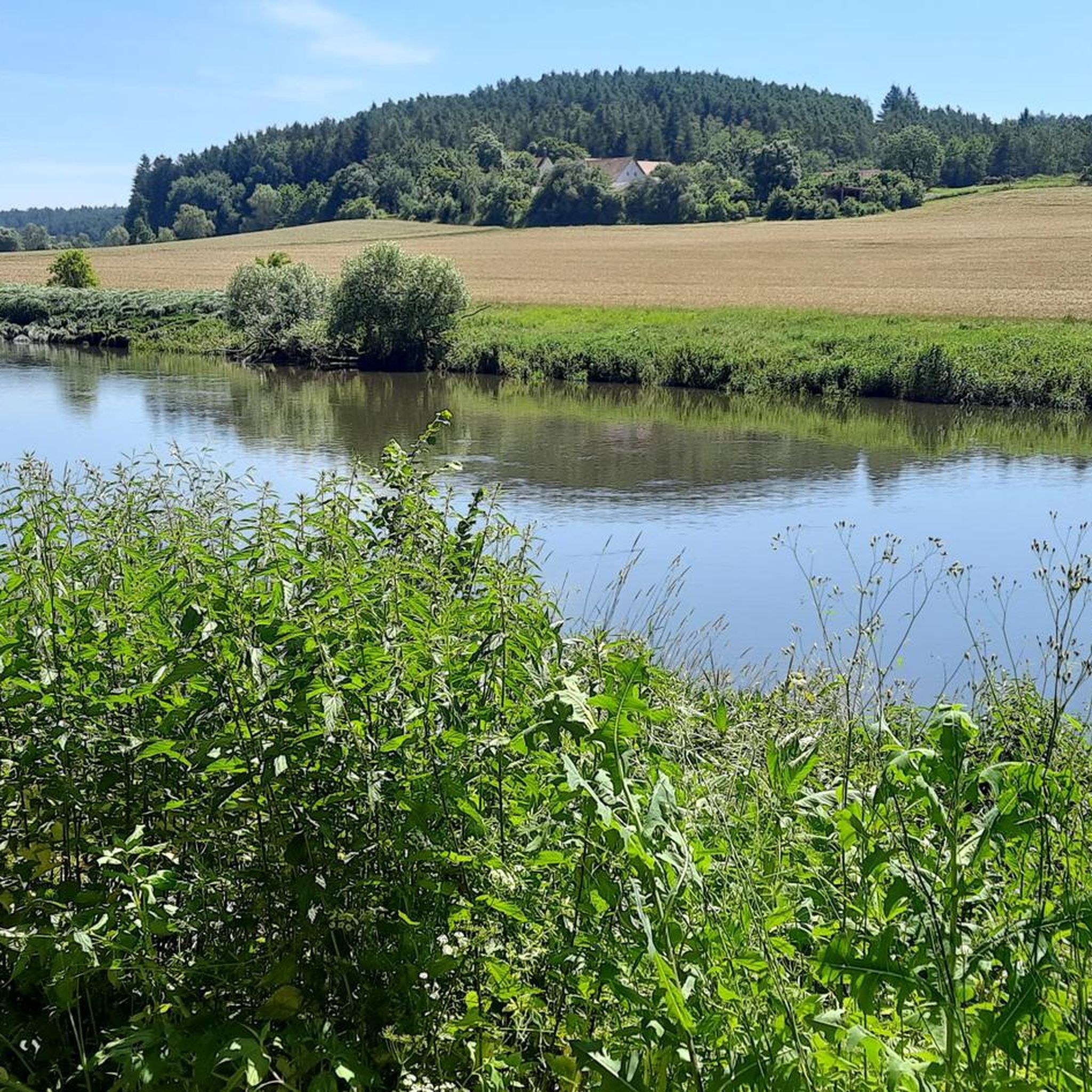
Mountaineering around Roding offers a network of trails through the Upper Bavarian Forest, characterized by rolling hills, dense woodlands, and river valleys. The landscape features moderate ascents and descents, with elevations typically ranging up to a few hundred meters. These routes provide opportunities to explore the natural beauty of the region, including scenic viewpoints and historical sites.
Best mountaineering routes around Roding
- The most popular mountaineering route is Höllbachtal Trail – Höllbach Wooden Bridge loop from Rettenbach, a 2.8…
Last updated: October 6, 2026
5.0
(1)
3
hikers
4.22km
01:11
70m
70m
Moderate mountaineering route. Great for any fitness level. Mostly accessible paths. Sure-footedness required.
3
hikers
10.0km
02:50
200m
200m
Moderate mountaineering route. Good fitness required. Mostly accessible paths. Sure-footedness required.

3
hikers
9.81km
02:47
200m
200m
Moderate mountaineering route. Good fitness required. Mostly accessible paths. Sure-footedness required.
5.0
(1)
2
hikers
9.15km
02:38
220m
220m
Moderate mountaineering route. Good fitness required. Mostly accessible paths. Sure-footedness required.
2
hikers
14.1km
04:12
370m
370m
Moderate mountaineering route. Good fitness required. Mostly accessible paths. Sure-footedness required.
Our route recommendations are based on thousands of hikes, rides, and runs completed by other people on komoot.
Start today with a free account
Your next adventure awaits.

Tips from the Community

So we drove all the way up to have a look. The signage up there is rather modest and in a few places access is prohibited for unauthorized persons. There is a monastery tavern and a monastery garden up there on the mountain, which are obvious. The view from the top down into the Regental is rather difficult.
0
0

Don't forget one euro for the turnstile, otherwise you won't get up the tower!
0
0

Worth visiting on the Day of the Open Monument - you can also do an interior tour of the knight's hall and chapel.
0
0

A rustic wooden bridge, which slightly changes direction in the middle with a kink, leads here over the Höllbach stream. On days when the wooden planks are particularly slippery, the railing attached to one side provides a little more security.
9
0
Not only the granite block sea and the roaring stream of the Höllbach shape the nature reserve. Some open meadow areas also belong to it.
14
0
The Hölle nature reserve encompasses an approximately 600-meter-long section of the Höllbachtal valley in the Falkensteiner Vorwald with the surrounding forest areas. The block sea of bizarrely weathered granite blocks along the Höllbach, as this section of the Wiesent's upper course is called, is an approximately 7000 square meter sub-area of the nature reserve established in 1950. It is part of the European "Natura 2000" protected area network. In the shady, cool and moist climate even in summer, numerous animal and plant species worthy of protection have been preserved.
9
0
Here begins the fantastic circular hiking trail through the "Hölle" nature reserve, which leads for long stretches along the Höllbach through the valley.
10
0
Parking is free at the large hiking parking lot near Postfelden. An overview board provides information about the hiking trails in the region.
8
0
Frequently Asked Questions
What is the typical difficulty level for mountaineering routes around Roding?
The mountaineering routes featured in this guide around Roding are all classified as moderate. They offer a good balance of challenge and accessibility, suitable for those with a reasonable level of fitness.
Are there any circular mountaineering routes in the Roding area?
Yes, all the mountaineering routes in this guide are circular. For example, you can enjoy the Lauberberg – Blick Marienstein loop from Falkenstein, which offers expansive views, or the Hetzenbacher Höhe loop from Wald (VGem) through forested hills.
What is the average duration for these mountaineering trails?
The duration of these trails varies. The shortest, Höllbachtal Trail – Höllbach Wooden Bridge loop from Rettenbach, can be completed in about 1 hour 15 minutes. Longer routes, like the Lauberberg – Blick Marienstein loop from Falkenstein, may take around 4 hours.
What kind of scenery and viewpoints can I expect on these routes?
The routes around Roding traverse the Upper Bavarian Forest, characterized by rolling hills, dense woodlands, and scenic river valleys. You can find expansive views from points like Lauberberg on the Lauberberg – Blick Marienstein loop from Falkenstein, and explore the beautiful Höllbach Valley (Hölle) Nature Reserve.
Are the mountaineering routes around Roding suitable for beginners?
Given that all routes in this guide are rated as moderate, they are generally suitable for beginners who have a reasonable level of fitness and are comfortable with walking for a few hours on varied terrain. The landscape features moderate ascents and descents.
What are some interesting landmarks or attractions to see along the routes?
Along the routes, you can discover several points of interest. The Höllbachtal Trail – Höllbach Wooden Bridge loop from Rettenbach passes by the scenic Höllbachtal Trail and the unique Höllbach Wooden Bridge. You might also encounter the Hölltal Rock Formations or the historic Schwarzenburg Castle Ruins.
What is the best time of year to go mountaineering in Roding?
The Upper Bavarian Forest region is generally best for mountaineering from spring through autumn. During these seasons, you can expect pleasant temperatures and vibrant natural scenery, making for ideal hiking conditions.
Are there any dog-friendly mountaineering options near Roding?
While specific dog-friendly designations are not provided for each route, the natural trails through woodlands and river valleys around Roding are generally welcoming for dogs, provided they are kept on a leash and you follow local regulations. Always ensure your dog is capable of the distance and terrain.
What do other mountaineers say about the trails around Roding?
The mountaineering routes around Roding are highly regarded by the komoot community, with an average rating of 5.0 stars. Users often praise the quiet woodlands, well-maintained paths, and the opportunity to explore the natural beauty of the Upper Bavarian Forest.
Are there any routes that pass by historical sites or cultural points of interest?
Yes, for example, the Reichenbach Monastery on the Regen – Pfaffenstein loop from Reichenbach offers a chance to explore the area around the historic Reichenbach Monastery.
How many mountaineering routes are available in this guide for the Roding area?
This guide features 5 distinct mountaineering routes around Roding, all offering a moderate challenge through the region's diverse landscape.
Most popular routes around Roding
Most popular attractions around Roding

Get inspired with the komoot mobile app


Explore more
Browse the best Mountain Hikes & Routes in other regions.
